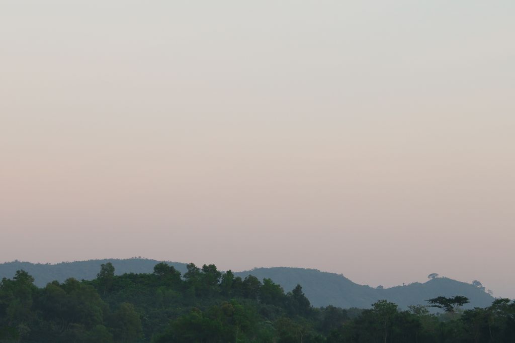
Kala Pahar (Bengali: কালা পাহাড়, lit. 'Black mountain'), also known as Debbarma Haphong in Khasi, is the highest peak of northern Bangladesh. Located near Robir bazar of Kulaura Upazila in Moulvibazar District, it is only 3–4 hours trekking distance from Azgarabad Tea Estate. This peak is also accessible from Rajki tea estate near Fultola bazar of Juri Upazila. The hill range of Kala Pahar is locally known as Longla Range. 'Kala Pahar' is the local name of the highest peak. According to Bangladesh Geographic society this hill is also known as 'Hararganj pahar'. In Bengali language 'hill' word means 'Pahar'. Situated in the north-eastern part of the country 60% of the range is in Bangladesh and the rest is in the Northern Tripura state of India. In Tripura, part of this hill is known as Raghunandan pahar. The famous ancient religious archaeological site of India ‘Unakoti’ lies at the foot of this hill. Kala Pahar is about 1,100 feet high from the sea level. In November 2015, members of a local adventure group of Bangladesh BD Explorer explored this peak and measured the highest point as 1,098 feet (from sea level) with a Garmin handheld GPS. During autumn, if the sky is clear, one can observe the blue water of Hakaluki haor(Largest haor of Bangladesh) from the high point of Kala Pahar. There are some Khasi establishments adjacent to this hill, such as Nunchora punji, Panaichora punji, Putichora punji and Baigonchora punji.
This place is popular among nature lovers to visit as an adventure day trip.
There's a trail leading to the summit.
By elevation Kala Pahar is
# 54 out of 84 in Bangladesh # 1 out of 7 in Sylhet Division
By prominence Kala Pahar is
# 17 out of 84 in Bangladesh # 1 out of 7 in Sylhet Division
We use GPS information embedded into the photo when it is available.
3D mountains overlay
Adjust mountain panorama to perfectly match your photos because recorded by camera photo position might be imprecise.
Move tool
Rotate tool
Zoom
More customization
Choose which peak labels should make into the final photo and what photo title should be.
Next
Photo Location
Satellitte
Flat map
Relief map
Latitude
Longitude
Altitude
OR
Latitude
°'''
Longitude
°'''
Apply
Register Peak
Peak Name
Latitude
Longitude
Altitude
Register
Teleport
PeakVisor
This 3D model of Sagarmatha National Park in Nepal was made using the PeakVisor app topographic data. The mobile app features higher precision models worldwide, more topographic details, and works offline. Download PeakVisor maps today.
Download OBJ model
PeakVisor
The download should start shortly. If you find it useful please consider supporting the PeakVisor app.
PeakVisor for iOS and Android
Be a superhero of outdoor navigation with state-of-the-art 3D maps and mountain identification in the palm of your hand!