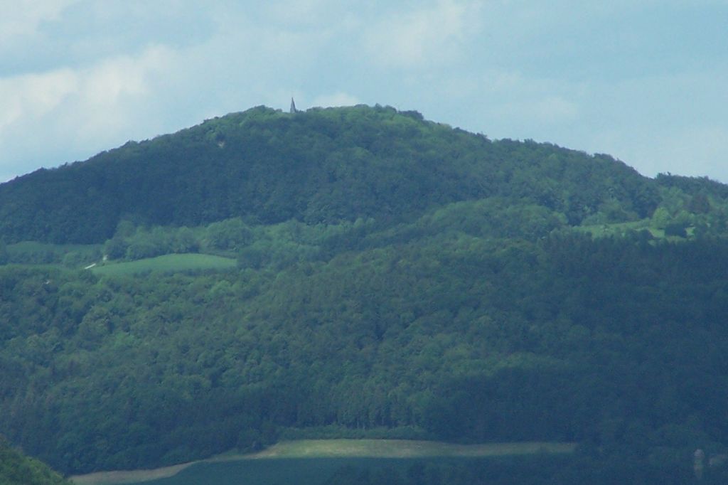
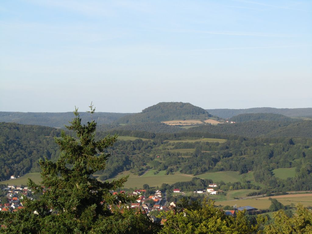
The Hülfensberg (called Stuffenberg in the Middle Ages) is a 448 m high, heavily wooded mountain in the Geismar municipality in the Eichsfeld district, Thuringia, Germany. The mountain has been a pilgrimage site since the late Middle Ages, and on its summit are a church containing a 12th-century crucifix, a Franciscan friary, a chapel dedicated to Saint Boniface, and a large free-standing cross.
The medieval name for the mountain was Stuffenberg, from which the supposed Germanic god Stuffo derives his name. According to some sources the name was changed in the 14th century (or around 1400) because of a famous crucifix in the church, the Hülfenskreuz; another etymology for the modern name was given in 1575, based on the legend that Boniface had defeated an army of unbelievers on the mountain, which was subsequently named Hülfensberg (helfen: to help) in reference to divine help.
There's a trail leading to the summit. Hülfensberg is one of the 163 peaks along the multi-day Jakobswege in Deutschland.
By elevation Hülfensberg is
# 74 out of 232 in Landkreis Eichsfeld
By prominence Hülfensberg is
# 83 out of 3816 in Thuringia # 11 out of 232 in Landkreis Eichsfeld
We use GPS information embedded into the photo when it is available.
3D mountains overlay
Adjust mountain panorama to perfectly match your photos because recorded by camera photo position might be imprecise.
Move tool
Rotate tool
Zoom
More customization
Choose which peak labels should make into the final photo and what photo title should be.
Next
Photo Location
Satellitte
Flat map
Relief map
Latitude
Longitude
Altitude
OR
Latitude
°'''
Longitude
°'''
Apply
Register Peak
Peak Name
Latitude
Longitude
Altitude
Register
Teleport
PeakVisor
This 3D model of Sagarmatha National Park in Nepal was made using the PeakVisor app topographic data. The mobile app features higher precision models worldwide, more topographic details, and works offline. Download PeakVisor maps today.
Download OBJ model
PeakVisor
The download should start shortly. If you find it useful please consider supporting the PeakVisor app.
PeakVisor for iOS and Android
Be a superhero of outdoor navigation with state-of-the-art 3D maps and mountain identification in the palm of your hand!