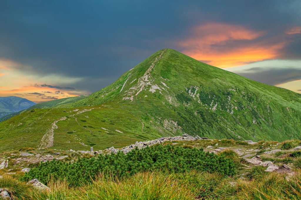
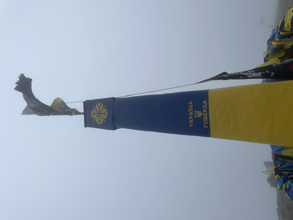
Mount Hoverla (Ukrainian and Rusyn: Говерла), at 2,061 metres (6,762 ft), is the highest mountain in Ukraine and part of the Ukrainian Carpathians. The mountain is located in the Eastern Beskids, in the Chornohora region. The slopes are covered with beech and spruce forests, above which there is a belt of sub-alpine meadows called polonyna in Ukrainian. The main spring of the Prut River is on the eastern slope. The name is most likely of Romanian origin and means 'difficult ascent.' Some sources offer a Hungarian word for a 'snow fortress' as the origin, however this claim lacks logical evidence. Hoverla is composed of sandstone.
The date of the first ascent is unknown. In the late 19th century, the mountain became a notable tourist attraction, especially among tourists from nearby cities of Galicia. In 1880 the first tourist route between the peak of Hoverla and Krasny Luh was marked by Leopold Wajgel of the Galician Tatra Society. The first tourist shelter was built the following year.
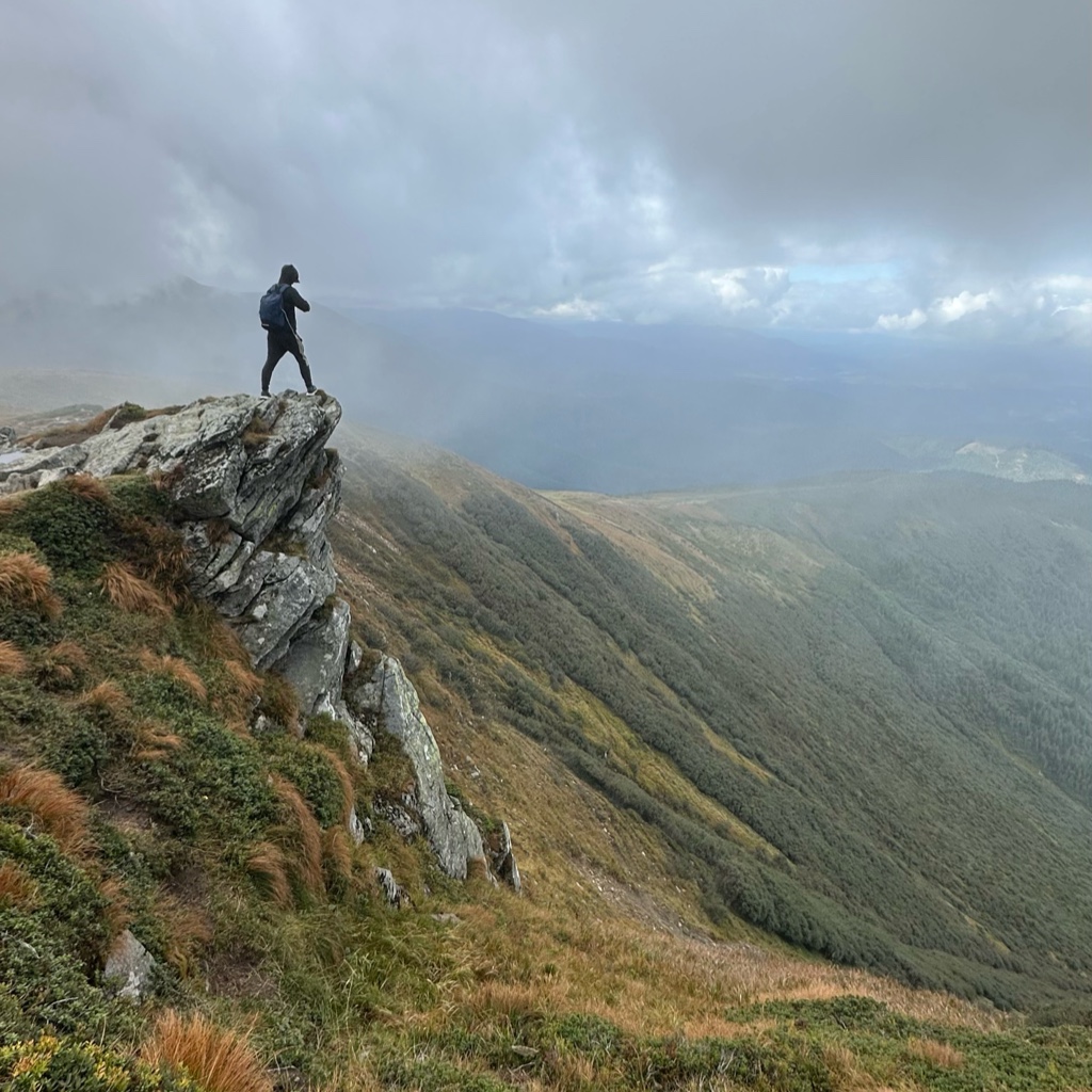
In the 20th century, the mountain increasingly gained popularity as an extreme sports site. Some routes are classified as 1A in the winter period (from late autumn to May), according to the Soviet grading system. The most popular approach to the summit starts from the tour-basa Zarosliak on the mountain's eastern face and gains more than 1,100 m (3,600 ft) elevation along a steep path with few hairpin turns. There is a steeper route (marked with blue signs) and a gentler, longer one (marked with green).
There's a trail leading to the summit. Hoverla is one of the 68 peaks along the multi-day Тranscarpathian tourist path.
The nearest mountain hut is Ekologichnii Punkt "U Pidnizhzhi Goverli" located 629m/2 063ft WNW of the summit.
By elevation Hoverla is
# 1 out of 82 in Yaremche Municipality # 1 out of 15 in Чорногірський заповідний масив # 1 out of 61 in Carpathian Biosphere Reserve # 1 out of 133 in Rakhiv Raion # 1 out of 3926 in Ukraine # 1 out of 529 in Ivano-Frankivsk Oblast # 1 out of 696 in Zakarpattia Oblast
By prominence Hoverla is
# 1 out of 82 in Yaremche Municipality # 1 out of 15 in Чорногірський заповідний масив # 2 out of 61 in Carpathian Biosphere Reserve # 2 out of 133 in Rakhiv Raion # 8 out of 3926 in Ukraine # 2 out of 529 in Ivano-Frankivsk Oblast # 5 out of 696 in Zakarpattia Oblast # 44 out of 25182 in the Carpathian Mountains
We use GPS information embedded into the photo when it is available.
3D mountains overlay
Adjust mountain panorama to perfectly match your photos because recorded by camera photo position might be imprecise.
Move tool
Rotate tool
Zoom
More customization
Choose which peak labels should make into the final photo and what photo title should be.
Next
Photo Location
Satellitte
Flat map
Relief map
Latitude
Longitude
Altitude
OR
Latitude
°'''
Longitude
°'''
Apply
Register Peak
Peak Name
Latitude
Longitude
Altitude
Register
Teleport
PeakVisor
This 3D model of Sagarmatha National Park in Nepal was made using the PeakVisor app topographic data. The mobile app features higher precision models worldwide, more topographic details, and works offline. Download PeakVisor maps today.
Download OBJ model
PeakVisor
The download should start shortly. If you find it useful please consider supporting the PeakVisor app.
PeakVisor for iOS and Android
Be a superhero of outdoor navigation with state-of-the-art 3D maps and mountain identification in the palm of your hand!