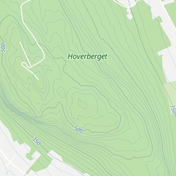
Hoverberget is a mountain on a peninsula in the southern part of the Storsjön lake. The mountain, a significant landmark and a Natura 2000 designated nature reserve, lies within Berg Municipality in the southern parts of Jämtland in northern Sweden. The village of Berg lies on the south slope of the Hoverberget, which is 255 m (837 ft) above the Storsjön and the surrounding area, and culminates at 548 m (1,798 ft) above sea level.
Hoverberget is made of porphyry, and originates from the same period as the Scandinavian Mountains. For millions of years it has been moving eastwards, and it now lies isolated and apart from other mountains. The mountain is rich in flora, with several orchid species, and many of the plants grow at their northernmost growth boundary. There are several rare species of moss and lichen. The mountain also has a rich bird life, with many birds of prey such as the common kestrel, the Eurasian sparrowhawk and the long-eared owl. Besides more common mammals, Hoverberget is also home to Eurasian lynx.
The tourist attraction called the Hoverberg Cave (Hoverbergsgrottan) is 170 m (560 ft) deep, and is the largest rock cave in Scandinavia. It was discovered 1897 by Jöns Väst, a Swedish-American. 81 m (266 ft) of the cave is accessible to visitors. Less known is the Fissure (Rämnan), a large ravine in the mountain with a length of about 400 m (1,300 ft) and a depth of about 25 m (82 ft), that is visible from the west and even from the county highway (länsväg) 321. According to a folk tale, a giant called the Old Man of Hoverberg Lad (Hoverbergsgubben) resided in the cave, but he moved out when people began to tidy the cave.
At the top of Hoverberget is a small café, which is open in the summer season. Adjacent to it is an observation tower, for those who want to look for the lake monster Storsjöodjuret, a folkloric phenomenon in the lake, or to enjoy the view.
We use GPS information embedded into the photo when it is available.
3D mountains overlay
Adjust mountain panorama to perfectly match your photos because recorded by camera photo position might be imprecise.
Move tool
Rotate tool
Zoom
More customization
Choose which peak labels should make into the final photo and what photo title should be.
Next
Photo Location
Satellitte
Flat map
Relief map
Latitude
Longitude
Altitude
OR
Latitude
°'''
Longitude
°'''
Apply
Register Peak
Peak Name
Latitude
Longitude
Altitude
Register
Teleport
PeakVisor
This 3D model of Sagarmatha National Park in Nepal was made using the PeakVisor app topographic data. The mobile app features higher precision models worldwide, more topographic details, and works offline. Download PeakVisor maps today.
Download OBJ model
PeakVisor
The download should start shortly. If you find it useful please consider supporting the PeakVisor app.
PeakVisor for iOS and Android
Be a superhero of outdoor navigation with state-of-the-art 3D maps and mountain identification in the palm of your hand!