The Hopfenberg is a wooded hill near Winterstein in the borough of Waltershausen, in the county of Gotha in the German state of Thuringia.
With a height of 536.1 m above NN, the Hopfenberg forms the eastern boundary of the Emse valley within the municipality of Winterstein. The hill, which is cleared on its western and northern flanks, was used in the Middle Ages for the cultivation of hops, from which the hill derives its name.
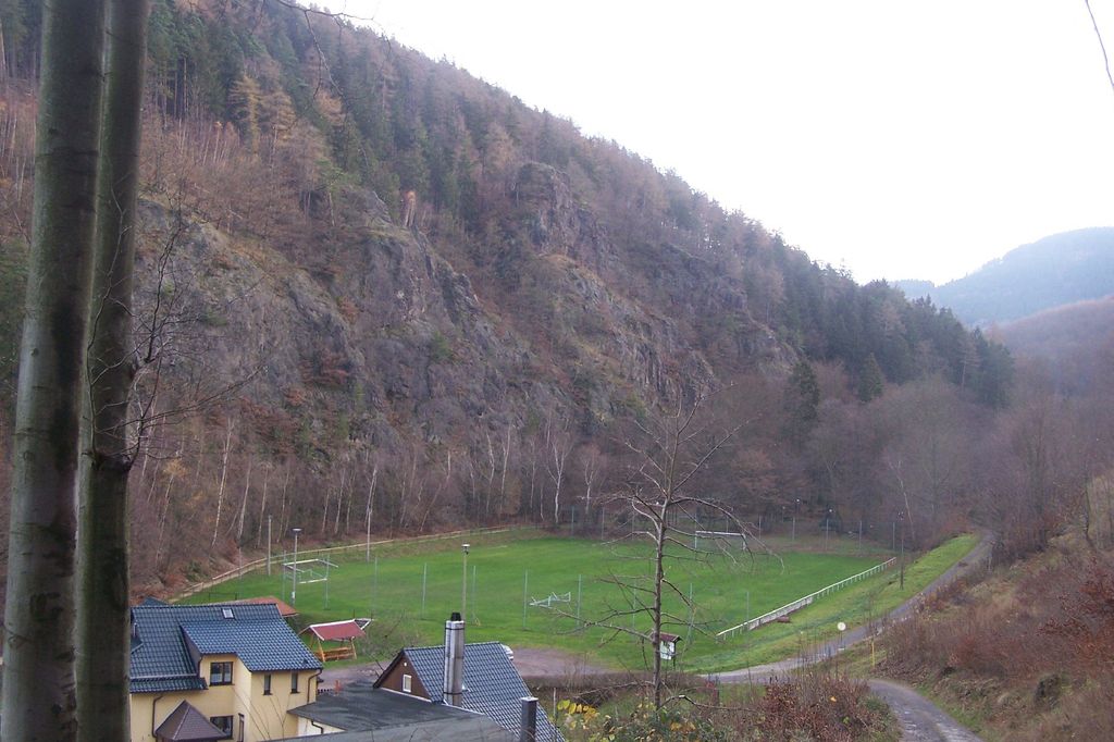
The rocky southern face of the Hopfenberg towers over the Sembach valley by about 125 metres. The Kilianstein rock formation in the east of the valley recalls the conversion of local pagans by the missionary, St Kilian. The rock face on the Treppenstein is also impressive; here there used to be a quarry whose rock was used in the construction of forest tracks.
The nearest mountain hut is Jagthütte Sembachtal located 1 153m/3 782ft SSE of the summit.
We use GPS information embedded into the photo when it is available.
3D mountains overlay
Adjust mountain panorama to perfectly match your photos because recorded by camera photo position might be imprecise.
Move tool
Rotate tool
Zoom
More customization
Choose which peak labels should make into the final photo and what photo title should be.
Next
Photo Location
Satellitte
Flat map
Relief map
Latitude
Longitude
Altitude
OR
Latitude
°'''
Longitude
°'''
Apply
Register Peak
Peak Name
Latitude
Longitude
Altitude
Register
Teleport
PeakVisor
This 3D model of Sagarmatha National Park in Nepal was made using the PeakVisor app topographic data. The mobile app features higher precision models worldwide, more topographic details, and works offline. Download PeakVisor maps today.
Download OBJ model
PeakVisor
The download should start shortly. If you find it useful please consider supporting the PeakVisor app.
PeakVisor for iOS and Android
Be a superhero of outdoor navigation with state-of-the-art 3D maps and mountain identification in the palm of your hand!