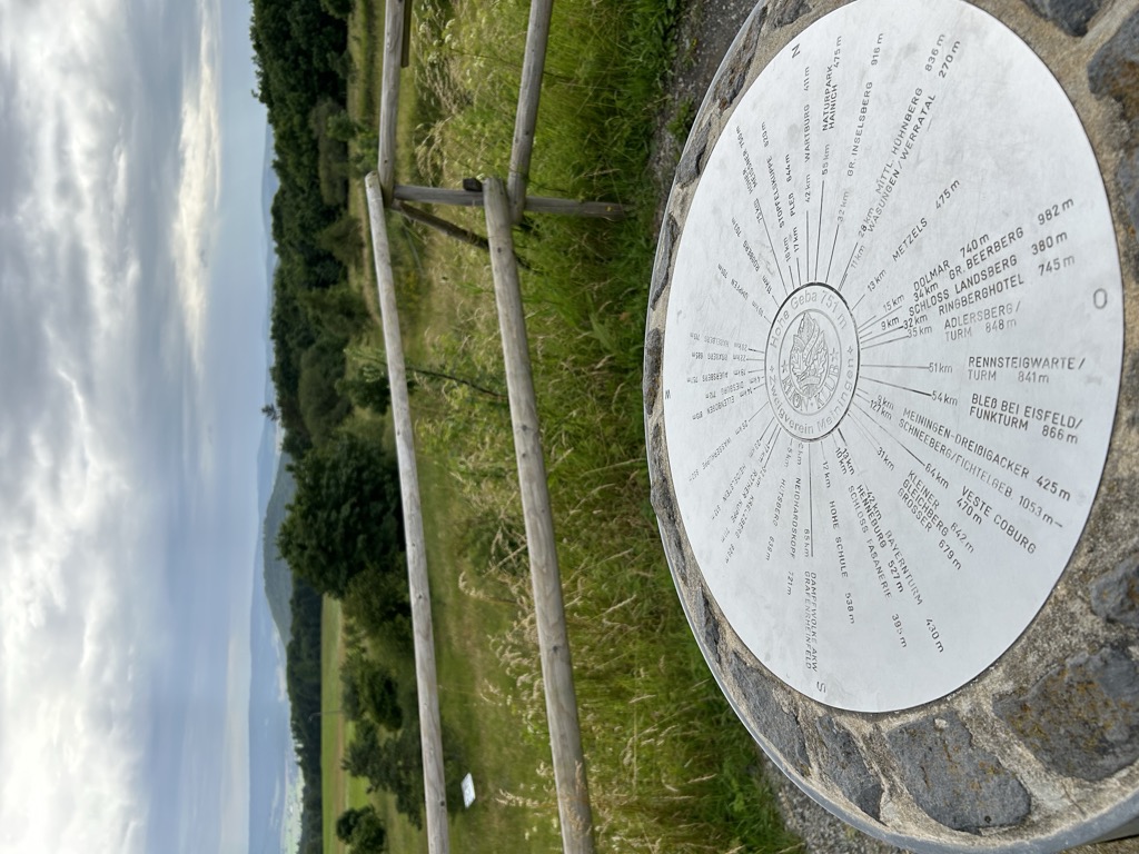
The Gebaberg, also called the Hohe Geba or Die Geba, near Geba in the county of Schmalkalden-Meiningen in southern Thuringia, Germany, is 750.7 m above sea level (NHN), and thus the highest point of the Anterior Rhön (Vorderer Rhön).
There's a trail leading to the summit.
The nearest mountain hut is Meininger Hütte located 68m/224ft E of the summit.
By elevation Hohe Geba is
# 89 out of 480 in Landkreis Schmalkalden-Meiningen
By prominence Hohe Geba is
# 9 out of 3816 in Thuringia # 4 out of 480 in Landkreis Schmalkalden-Meiningen # 70 out of 21663 in the German Highlands
We use GPS information embedded into the photo when it is available.
3D mountains overlay
Adjust mountain panorama to perfectly match your photos because recorded by camera photo position might be imprecise.
Move tool
Rotate tool
Zoom
More customization
Choose which peak labels should make into the final photo and what photo title should be.
Next
Photo Location
Satellitte
Flat map
Relief map
Latitude
Longitude
Altitude
OR
Latitude
°'''
Longitude
°'''
Apply
Register Peak
Peak Name
Latitude
Longitude
Altitude
Register
Teleport
PeakVisor
This 3D model of Sagarmatha National Park in Nepal was made using the PeakVisor app topographic data. The mobile app features higher precision models worldwide, more topographic details, and works offline. Download PeakVisor maps today.
Download OBJ model
PeakVisor
The download should start shortly. If you find it useful please consider supporting the PeakVisor app.
PeakVisor for iOS and Android
Be a superhero of outdoor navigation with state-of-the-art 3D maps and mountain identification in the palm of your hand!