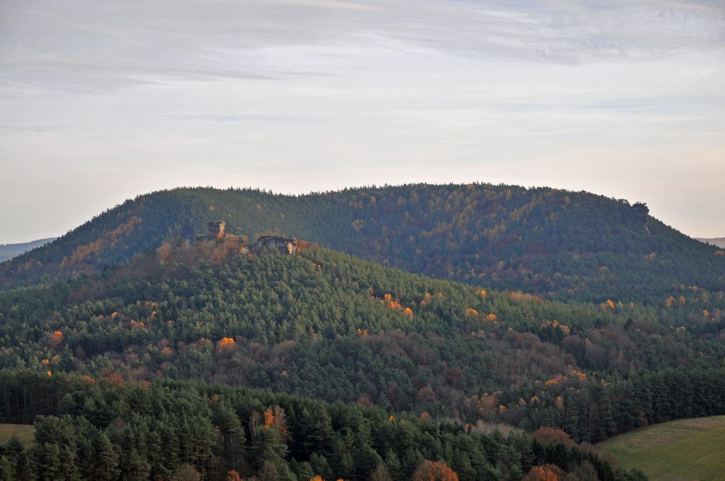
The Heidenberg is a 420-metre-high hill in the southeastern Wasgau, the region that covers the southern part of the Palatinate Forest in Germany and the northern Vosges in France. The Heidenberg's north flank is in the parish of Busenberg, its south flank in the parish of Erlenbach bei Dahn.
On its western slopes is the Buchkammerfels, a striking rock formation in which, in a rock spur with vertical sides, there is what is suspected to be the site of a castle that consisted of inaccessible rock chambers (known as Buchkammern or Heidenkammern).
The rock chambers are first mentioned in 1635, where they are described as dungeons. This function is just as unverified as the theory that they might have been used by the inhabitants of Drachenfels Castle as an outlying observation post.
There's a trail leading to the summit. Heidenberg is one of the 4 peaks along the Busenberger Holzschuhpfad.
The nearest mountain hut is Drachenfelshütte located 670m/2 198ft NW of the summit.
By prominence Heidenberg is
# 53 out of 753 in Naturpark Pfälzerwald # 28 out of 438 in Südwestpfalz
We use GPS information embedded into the photo when it is available.
3D mountains overlay
Adjust mountain panorama to perfectly match your photos because recorded by camera photo position might be imprecise.
Move tool
Rotate tool
Zoom
More customization
Choose which peak labels should make into the final photo and what photo title should be.
Next
Photo Location
Satellitte
Flat map
Relief map
Latitude
Longitude
Altitude
OR
Latitude
°'''
Longitude
°'''
Apply
Register Peak
Peak Name
Latitude
Longitude
Altitude
Register
Teleport
PeakVisor
This 3D model of Sagarmatha National Park in Nepal was made using the PeakVisor app topographic data. The mobile app features higher precision models worldwide, more topographic details, and works offline. Download PeakVisor maps today.
Download OBJ model
PeakVisor
The download should start shortly. If you find it useful please consider supporting the PeakVisor app.
PeakVisor for iOS and Android
Be a superhero of outdoor navigation with state-of-the-art 3D maps and mountain identification in the palm of your hand!