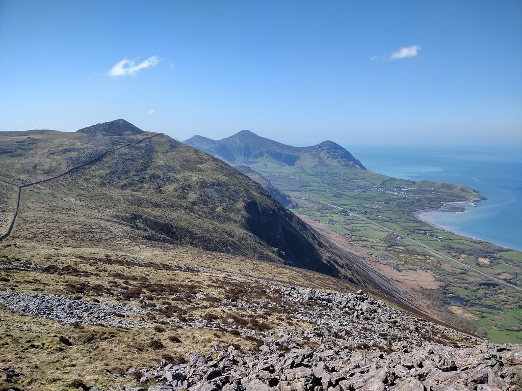
Gyrn Ddu is a hill near the northeastern corner of the Llŷn Peninsula in the community of Llanaelhaearn in the county of Gwynedd in North Wales. It forms the western half of a wider upland area, another significant top of which is the 510 m summit of Bwlch Mawr to the east.
The distinct northern top of Gyrn Ddu is Gyrn Goch, which attains a height of 492 m. The summit of an eastern top which reaches 491 m is crowned by a prehistoric cairn. To the southwest of Gyrn Ddu is the lower top of Moel Pen-llechog, which reaches a height of 316 m, whilst to the south is the 416 m flat top of Moel Bronmiod.
By prominence Gyrn Ddu is
# 22 out of 3092 in the Wales Mountains # 14 out of 731 in Gwynedd # 22 out of 3083 in Wales
We use GPS information embedded into the photo when it is available.
3D mountains overlay
Adjust mountain panorama to perfectly match your photos because recorded by camera photo position might be imprecise.
Move tool
Rotate tool
Zoom
More customization
Choose which peak labels should make into the final photo and what photo title should be.
Next
Photo Location
Satellitte
Flat map
Relief map
Latitude
Longitude
Altitude
OR
Latitude
°'''
Longitude
°'''
Apply
Register Peak
Peak Name
Latitude
Longitude
Altitude
Register
Teleport
PeakVisor
This 3D model of Sagarmatha National Park in Nepal was made using the PeakVisor app topographic data. The mobile app features higher precision models worldwide, more topographic details, and works offline. Download PeakVisor maps today.
Download OBJ model
PeakVisor
The download should start shortly. If you find it useful please consider supporting the PeakVisor app.
PeakVisor for iOS and Android
Be a superhero of outdoor navigation with state-of-the-art 3D maps and mountain identification in the palm of your hand!