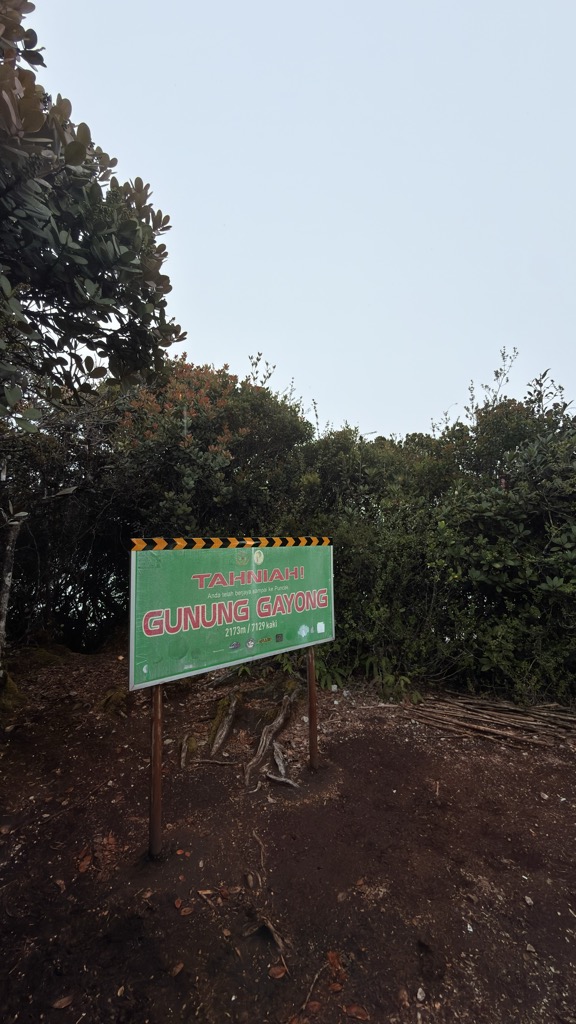
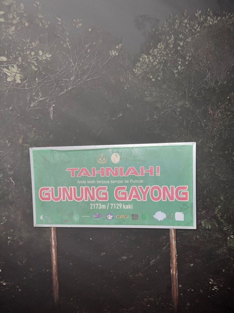
Mount Gayong (Malay: Gunung Gayong) is a mountain in Peninsular Malaysia, situated within the Titiwangsa Range along the border between the states of Perak and Kelantan. It is fourth highest mountain in the Malay Peninsula, at 2,173 metres. It can be reached in about an hour's trek from the peak of Mount Korbu, the highest mountain of the range and the second highest mountain in Peninsular Malaysia. Due to the close proximity between the two mountains, they are collectively known as Korga among the hiking and mountaineering community.
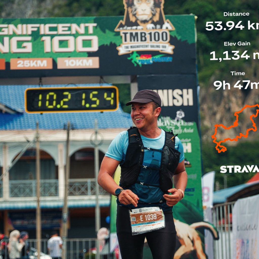
It is a favourite site for mountain climbing.
There's a trail leading to the summit.
By elevation Gunung Gayong is
# 26 out of 5270 in Malaysia # 3 out of 533 in Perak
We use GPS information embedded into the photo when it is available.
3D mountains overlay
Adjust mountain panorama to perfectly match your photos because recorded by camera photo position might be imprecise.
Move tool
Rotate tool
Zoom
More customization
Choose which peak labels should make into the final photo and what photo title should be.
Next
Photo Location
Satellitte
Flat map
Relief map
Latitude
Longitude
Altitude
OR
Latitude
°'''
Longitude
°'''
Apply
Register Peak
Peak Name
Latitude
Longitude
Altitude
Register
Teleport
PeakVisor
This 3D model of Sagarmatha National Park in Nepal was made using the PeakVisor app topographic data. The mobile app features higher precision models worldwide, more topographic details, and works offline. Download PeakVisor maps today.
Download OBJ model
PeakVisor
The download should start shortly. If you find it useful please consider supporting the PeakVisor app.
PeakVisor for iOS and Android
Be a superhero of outdoor navigation with state-of-the-art 3D maps and mountain identification in the palm of your hand!