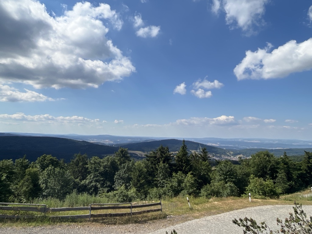
Großer Inselsberg is a mountain in the Thuringian Forest with a height of 916.5 m (3,007 ft) above sea level, located on Rennsteig in the districts of Gotha and Schmalkalden-Meiningen. It is the fourth-highest distinct mountain of Thuringia, after Großer Beerberg (982.9 m (3,225 ft)), Schneekopf (978 m (3,209 ft)) and Großer Finsterberg (944.1 m (3,097 ft)) and forms a landmark that can be viewed in particular from northern and western directions.
There's a trail leading to the summit.
The nearest mountain hut is Schutzhütte Venetianierstein located 926m/3 038ft WSW of the summit.
By elevation Großer Inselsberg is
# 14 out of 3816 in Thuringia # 1 out of 248 in Landkreis Gotha # 3 out of 480 in Landkreis Schmalkalden-Meiningen
By prominence Großer Inselsberg is
# 8 out of 3816 in Thuringia # 1 out of 248 in Landkreis Gotha # 3 out of 480 in Landkreis Schmalkalden-Meiningen # 69 out of 21663 in the German Highlands
We use GPS information embedded into the photo when it is available.
3D mountains overlay
Adjust mountain panorama to perfectly match your photos because recorded by camera photo position might be imprecise.
Move tool
Rotate tool
Zoom
More customization
Choose which peak labels should make into the final photo and what photo title should be.
Next
Photo Location
Satellitte
Flat map
Relief map
Latitude
Longitude
Altitude
OR
Latitude
°'''
Longitude
°'''
Apply
Register Peak
Peak Name
Latitude
Longitude
Altitude
Register
Teleport
PeakVisor
This 3D model of Sagarmatha National Park in Nepal was made using the PeakVisor app topographic data. The mobile app features higher precision models worldwide, more topographic details, and works offline. Download PeakVisor maps today.
Download OBJ model
PeakVisor
The download should start shortly. If you find it useful please consider supporting the PeakVisor app.
PeakVisor for iOS and Android
Be a superhero of outdoor navigation with state-of-the-art 3D maps and mountain identification in the palm of your hand!