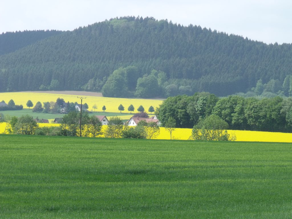
The Kniebrink, at 315 m above sea level (NN), is the third highest mountain in the northern German Wiehen Hills. Its immediate summit belongs administratively to the village of Oberbauerschaft in the municipality of Hüllhorst. However, its boundary with the town of Lübbecke runs just north of the summit, so that its northern slopes belong to Lübbecke.
The Kniebrink is just 3 metres lower than the more northerly Wurzelbrink, which obscures it from view in Lübbecke. The hill is largely trackless. In spring 2007 its trees suffered major storm damage. The top can be reaches from Lübbecke in under 45 minutes. From the south you need about 20 minutes for the short but steep climb.
Media related to Kniebrink at Wikimedia Commons
There's a trail leading to the summit. Gehlenbecker Berg is one of the 1 peaks along the A2 Lübbecke-Gehlenbeck.
The nearest mountain hut is Hütte auf dem Heidbrink located 1 038m/3 406ft WSW of the summit.
We use GPS information embedded into the photo when it is available.
3D mountains overlay
Adjust mountain panorama to perfectly match your photos because recorded by camera photo position might be imprecise.
Move tool
Rotate tool
Zoom
More customization
Choose which peak labels should make into the final photo and what photo title should be.
Next
Photo Location
Satellitte
Flat map
Relief map
Latitude
Longitude
Altitude
OR
Latitude
°'''
Longitude
°'''
Apply
Register Peak
Peak Name
Latitude
Longitude
Altitude
Register
Teleport
PeakVisor
This 3D model of Sagarmatha National Park in Nepal was made using the PeakVisor app topographic data. The mobile app features higher precision models worldwide, more topographic details, and works offline. Download PeakVisor maps today.
Download OBJ model
PeakVisor
The download should start shortly. If you find it useful please consider supporting the PeakVisor app.
PeakVisor for iOS and Android
Be a superhero of outdoor navigation with state-of-the-art 3D maps and mountain identification in the palm of your hand!