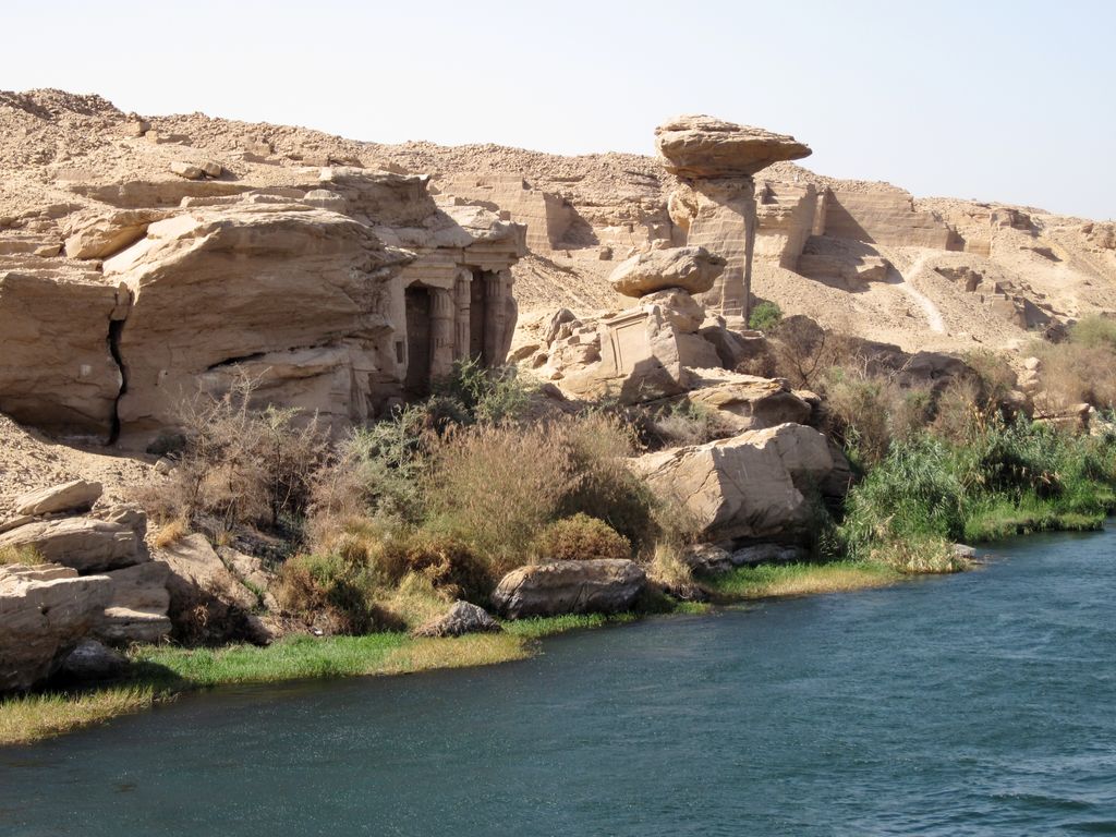
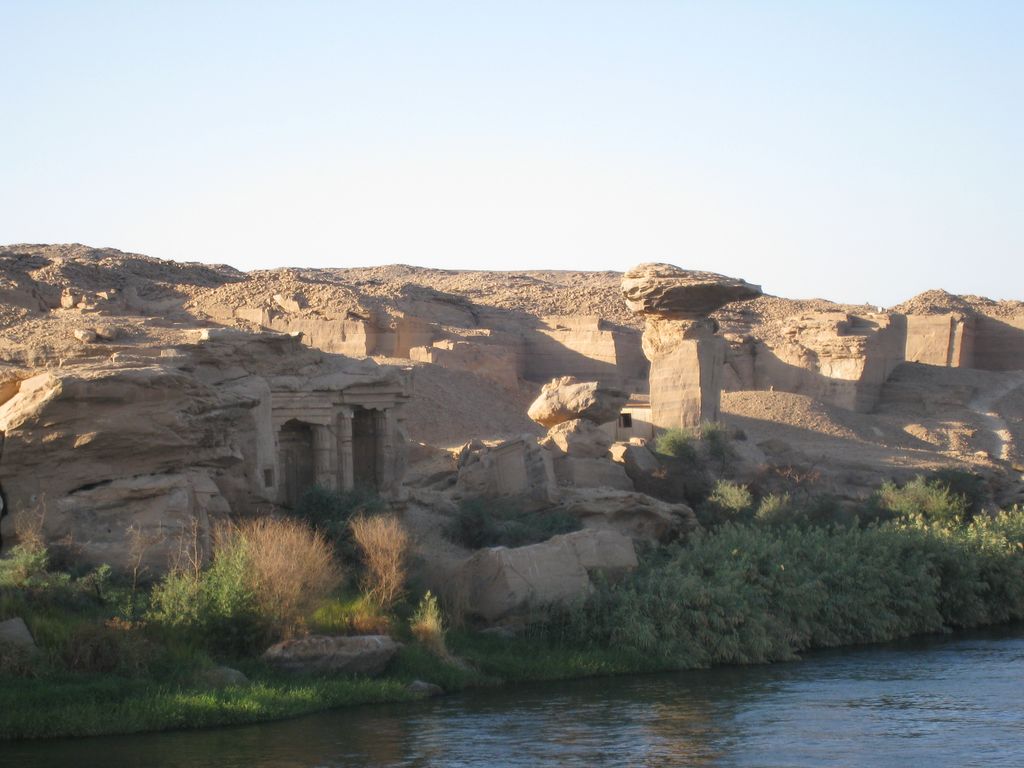
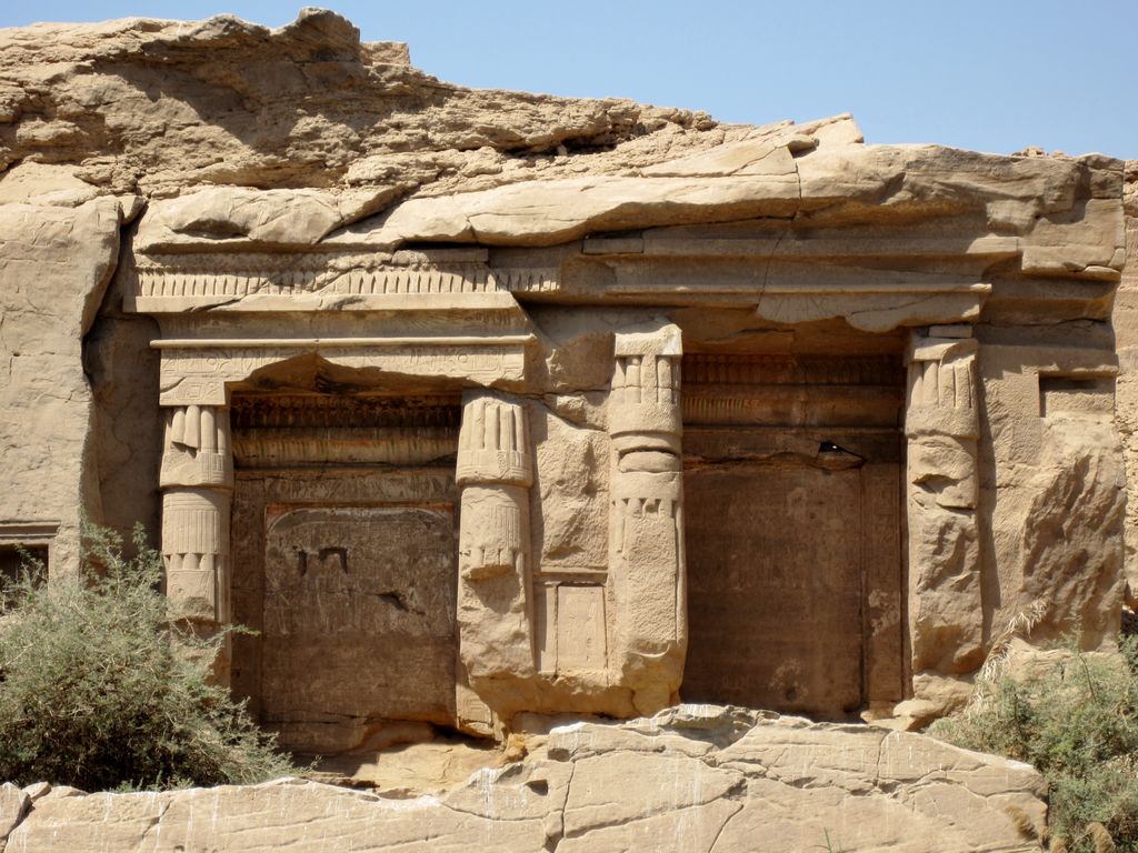
Gebel el-Silsila or Gebel Silsileh (Arabic: جبل السلسلة - Jabal al-Silsila or Ǧabal as-Silsila – "Chain of Mountains" or "Series of Mountains"; Egyptian: ẖny, Khenyt, Kheny or Khenu – "The Place of Rowing"; German: Dschabal as-Silsila – "Ruderort", or "Ort des Ruderns" – "Place of Rowing"; Italian: Gebel Silsila – "Monte della Catena" – "Upstream Mountain Chain") is 65 km (40 mi) north of Aswan in Upper Egypt, where the cliffs on both sides close to the narrowest point along the length of the entire Nile. The location is between Edfu in the north towards Lower Egypt and Kom Ombo in the south towards Upper Egypt. The name Kheny (or sometimes Khenu) means "The Place of Rowing". It was used as a major quarry site on both sides of the Nile from at least the 18th Dynasty to Greco-Roman times. Silsila is famous for its New Kingdom stelai and cenotaphs.
We use GPS information embedded into the photo when it is available.
3D mountains overlay
Adjust mountain panorama to perfectly match your photos because recorded by camera photo position might be imprecise.
Move tool
Rotate tool
Zoom
More customization
Choose which peak labels should make into the final photo and what photo title should be.
Next
Photo Location
Satellitte
Flat map
Relief map
Latitude
Longitude
Altitude
OR
Latitude
°'''
Longitude
°'''
Apply
Register Peak
Peak Name
Latitude
Longitude
Altitude
Register
Teleport
PeakVisor
This 3D model of Sagarmatha National Park in Nepal was made using the PeakVisor app topographic data. The mobile app features higher precision models worldwide, more topographic details, and works offline. Download PeakVisor maps today.
Download OBJ model
PeakVisor
The download should start shortly. If you find it useful please consider supporting the PeakVisor app.
PeakVisor for iOS and Android
Be a superhero of outdoor navigation with state-of-the-art 3D maps and mountain identification in the palm of your hand!


.jpg)


