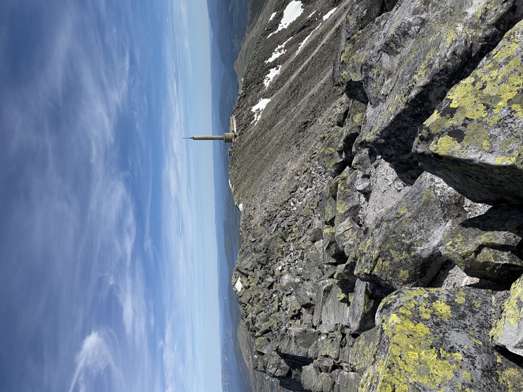
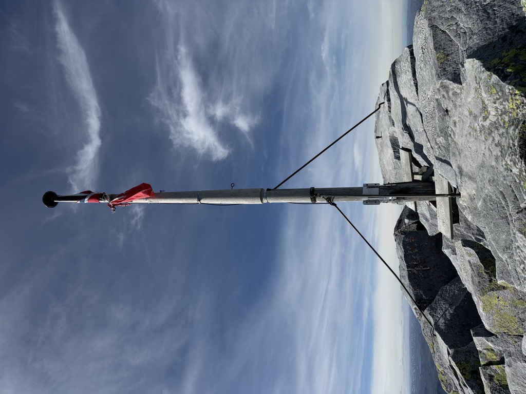
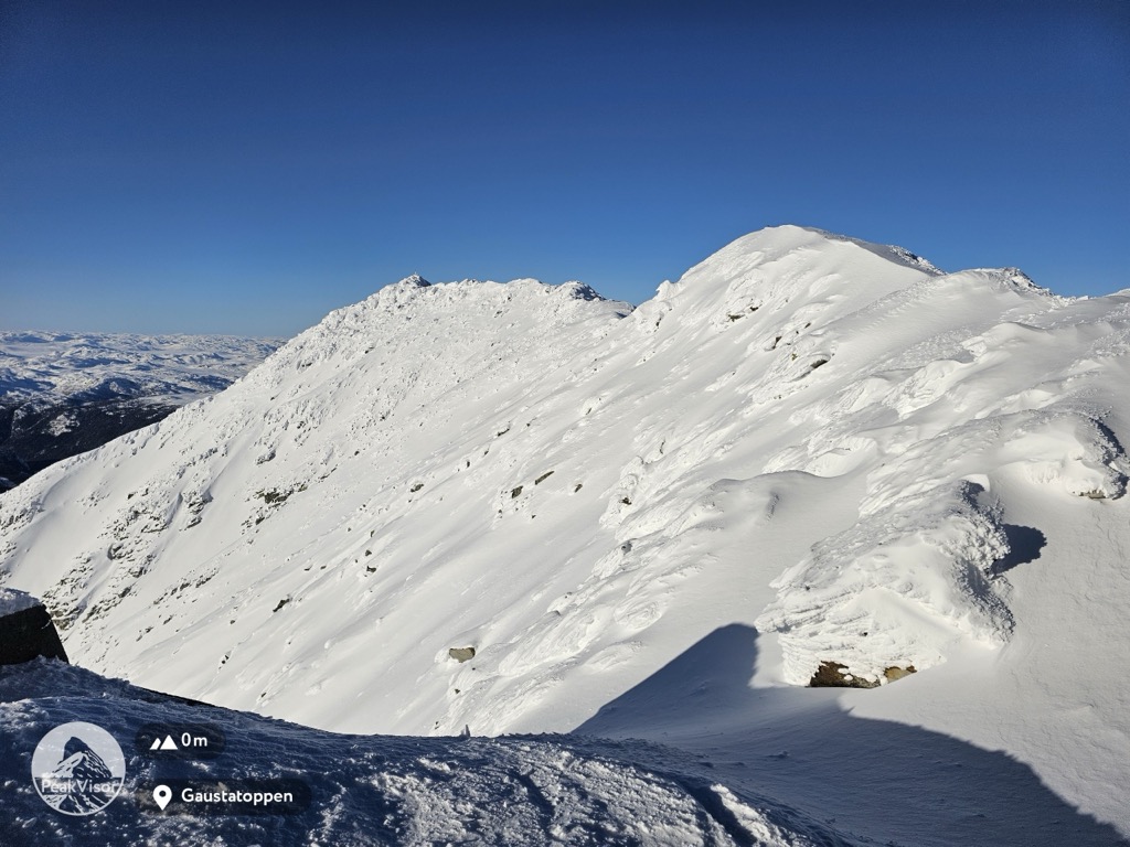
Gaustatoppen is a mountain in Telemark county, Norway. The 1,883-metre (6,178 ft) tall mountain is located on the south side of the town of Rjukan. It is the tallest mountain in all of Telemark county. The peak of the mountain lies in Tinn Municipality, but there is a lower plateau that crosses over the municipal border into Hjartdal Municipality.
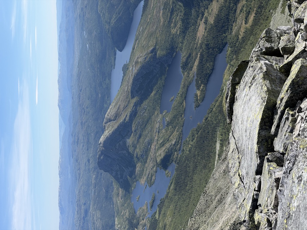
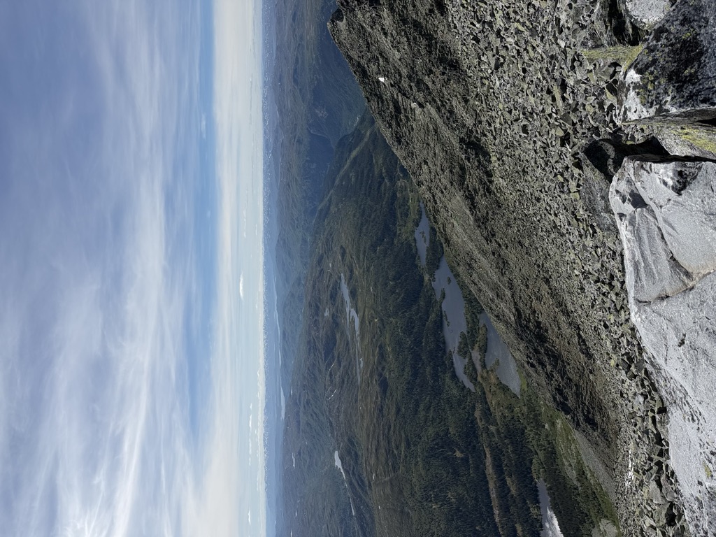
The view from the summit is impressive, as one can see an area of approximately 60,000 square kilometres (23,000 sq mi), nearly one-sixth of Norway's mainland. The mountain is popular for downhill skiing in the winter, and competitions have been held on its slopes. These competitions include the "Norseman triathlon", billed as "the world's most brutal iron-distance triathlon". It starts in Eidfjord and finishes at the top of Gaustatoppen. The summit is accessible on foot in the summer, on a rocky pathway of medium difficulty, although the southwestern side of the mountain is very dangerous and inaccessible. The wreckage of an airplane crash still lies on that side of the mountain since it is too difficult to remove it.
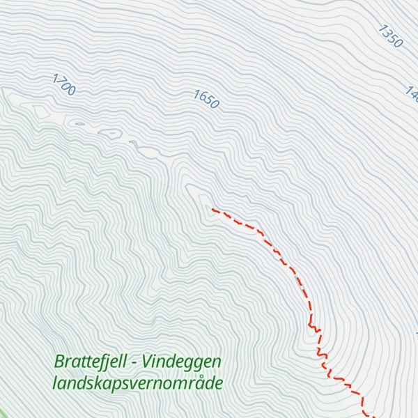
There's a demading hiking trail (T3) leading to the summit.
The nearest mountain hut is Gaustatoppen Turisthytte located 552m/1 811ft ESE of the summit.
By elevation Gaustatoppen is
# 1 out of 11398 in Vestfold og Telemark # 1 out of 166 in Brattefjell - Vindeggen landskapsvernområde
By prominence Gaustatoppen is
# 2 out of 11398 in Vestfold og Telemark # 1 out of 166 in Brattefjell - Vindeggen landskapsvernområde
We use GPS information embedded into the photo when it is available.
3D mountains overlay
Adjust mountain panorama to perfectly match your photos because recorded by camera photo position might be imprecise.
Move tool
Rotate tool
Zoom
More customization
Choose which peak labels should make into the final photo and what photo title should be.
Next
Photo Location
Satellitte
Flat map
Relief map
Latitude
Longitude
Altitude
OR
Latitude
°'''
Longitude
°'''
Apply
Register Peak
Peak Name
Latitude
Longitude
Altitude
Register
Teleport
PeakVisor
This 3D model of Sagarmatha National Park in Nepal was made using the PeakVisor app topographic data. The mobile app features higher precision models worldwide, more topographic details, and works offline. Download PeakVisor maps today.
Download OBJ model
PeakVisor
The download should start shortly. If you find it useful please consider supporting the PeakVisor app.
PeakVisor for iOS and Android
Be a superhero of outdoor navigation with state-of-the-art 3D maps and mountain identification in the palm of your hand!