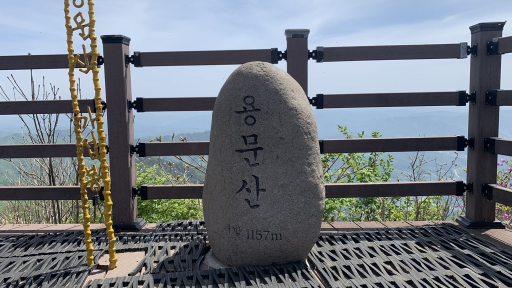
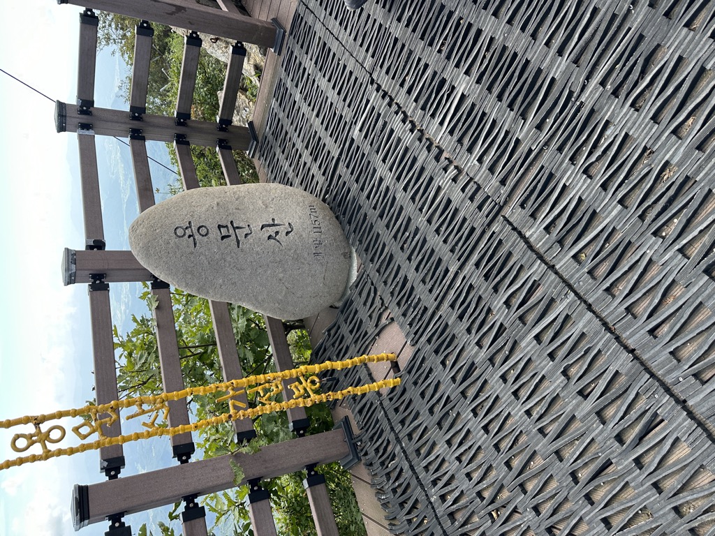
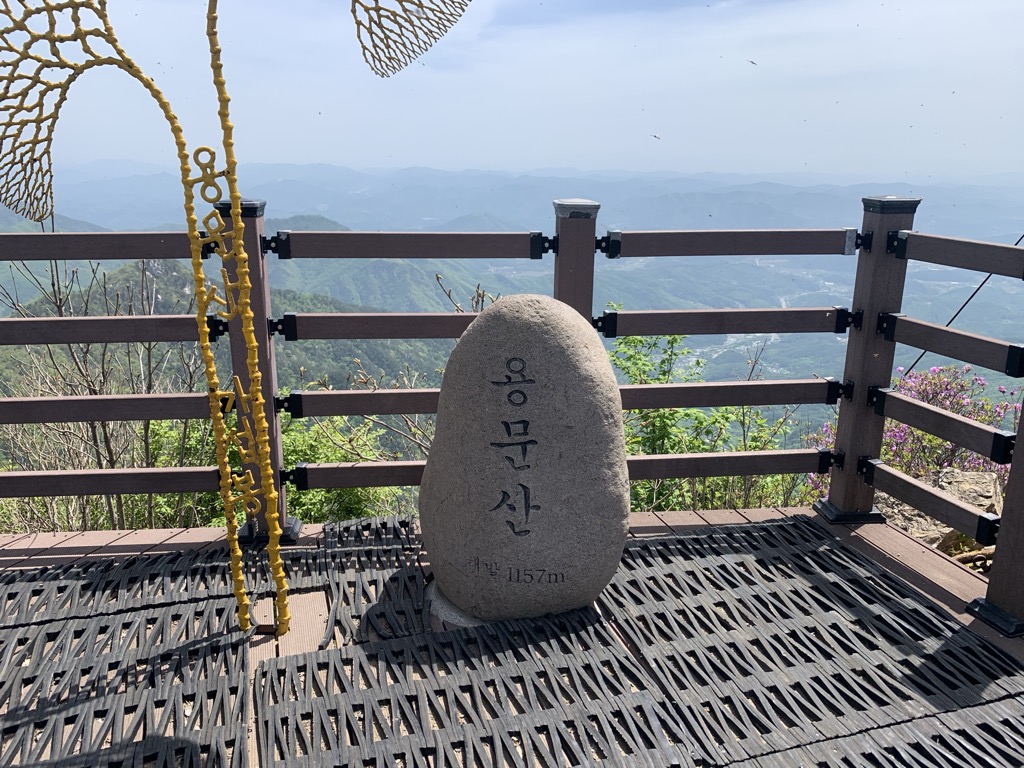
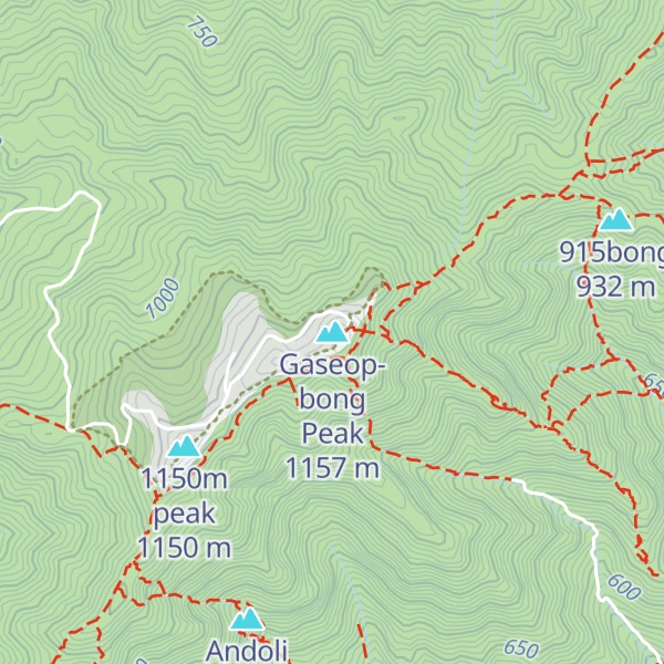
용문산 최정상 봉. 정상부에 자리 잡은 공군 8145부대로 인하여 일반인의 접근이 차단 되어 있다가 2007년 11월 부터 가섭봉 정상에 한해 제한적으로 부분 개방 되었음. 가섭봉과 함께 '용문산 불교 3봉' 이라고 불리며 정상부를 이루는 다른 두 봉우리인 1150봉 과 1155봉(아난봉, 석가봉)은 계속 접근 불가임.
We use GPS information embedded into the photo when it is available.
3D mountains overlay
Adjust mountain panorama to perfectly match your photos because recorded by camera photo position might be imprecise.
Move tool
Rotate tool
Zoom
More customization
Choose which peak labels should make into the final photo and what photo title should be.
Next
Photo Location
Satellitte
Flat map
Relief map
Latitude
Longitude
Altitude
OR
Latitude
°'''
Longitude
°'''
Apply
Register Peak
Peak Name
Latitude
Longitude
Altitude
Register
Teleport
PeakVisor
This 3D model of Sagarmatha National Park in Nepal was made using the PeakVisor app topographic data. The mobile app features higher precision models worldwide, more topographic details, and works offline. Download PeakVisor maps today.
Download OBJ model
PeakVisor
The download should start shortly. If you find it useful please consider supporting the PeakVisor app.
PeakVisor for iOS and Android
Be a superhero of outdoor navigation with state-of-the-art 3D maps and mountain identification in the palm of your hand!