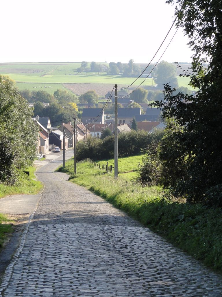
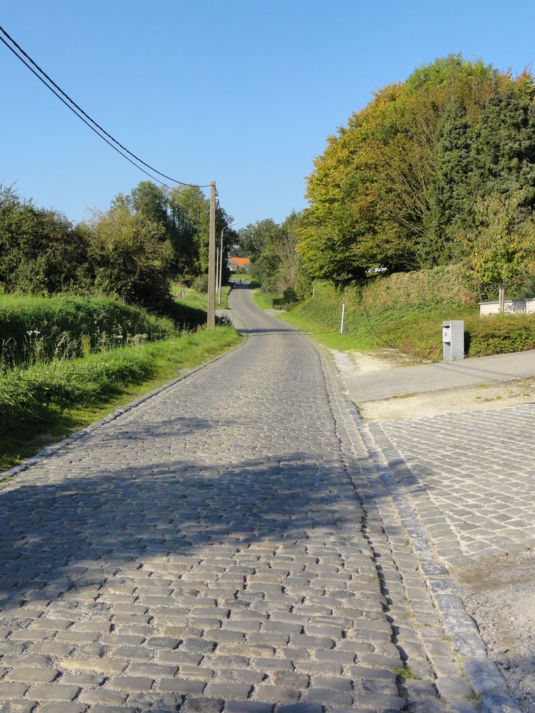
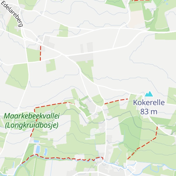
The Eikenberg (English: Oak Hill) is a hill and road in the municipality of Maarkedal, in the Belgian province of East Flanders. With an 82 m altitude top, it is one of many hill formations in the Flemish Ardennes, in the south of East Flanders.
The slopes of the hill are paved in cobbles, with a road gradually winding upwards from the Maarke brook to the top in Kerzelare village, 3 km east of Oudenaarde. The top of the climb is on the intercity road between Brakel and Oudenaarde. The cobbled climb is one of the regular sites in Flemish cycling races in springtime. In 1995 the road of the Eikenberg was classified as a protected monument.
There's a trail leading to the summit.
By elevation Eikenberg is
# 2 out of 2 in Maarkebeekvallei (Longkruidbosje) # 74 out of 127 in Flanders # 32 out of 50 in East Flanders
By prominence Eikenberg is
# 2 out of 2 in Maarkebeekvallei (Longkruidbosje) # 44 out of 50 in East Flanders
We use GPS information embedded into the photo when it is available.
3D mountains overlay
Adjust mountain panorama to perfectly match your photos because recorded by camera photo position might be imprecise.
Move tool
Rotate tool
Zoom
More customization
Choose which peak labels should make into the final photo and what photo title should be.
Next
Photo Location
Satellitte
Flat map
Relief map
Latitude
Longitude
Altitude
OR
Latitude
°'''
Longitude
°'''
Apply
Register Peak
Peak Name
Latitude
Longitude
Altitude
Register
Teleport
PeakVisor
This 3D model of Sagarmatha National Park in Nepal was made using the PeakVisor app topographic data. The mobile app features higher precision models worldwide, more topographic details, and works offline. Download PeakVisor maps today.
Download OBJ model
PeakVisor
The download should start shortly. If you find it useful please consider supporting the PeakVisor app.
PeakVisor for iOS and Android
Be a superhero of outdoor navigation with state-of-the-art 3D maps and mountain identification in the palm of your hand!