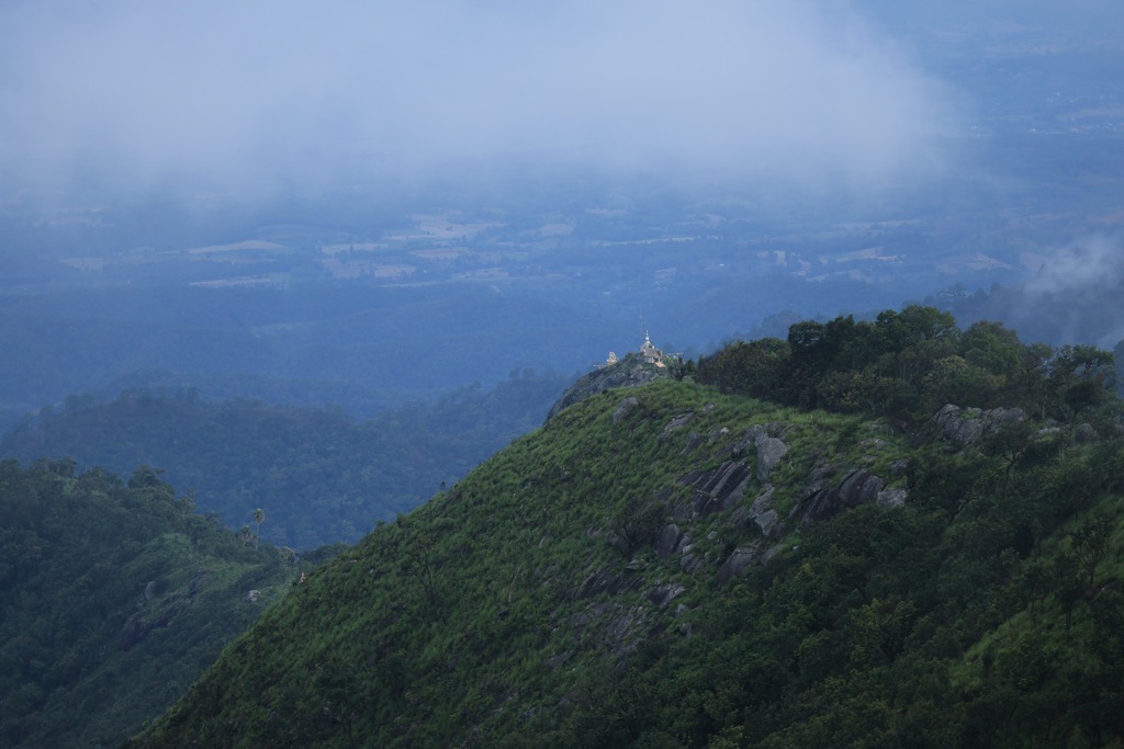
Doi Luang (Thai: ดอยหลวง) is a 1,694 m high mountain in Thailand, part of the Phi Pan Nam Range.
The mountain rises at the western end of Ban Tun Subdistrict, Mueang Phayao District, Phayao Province, near the point where the limit of this province meets with Lampang Province. With a height of 1,694 metres it is the highest point of the Phi Pan Nam Range.
There are a number of lesser mountains with the name "Doi Luang" throughout the same range.
Its summit is in Doi Luang National Park, less than seven km to the north of Route 120 between Wang Nuea and the AH2 Highway.
There's a trail leading to the summit.
By elevation Doi Luang is
# 3 out of 370 in Lampang Province # 2 out of 213 in Phayao Province # 1 out of 23 in Mueang Phayao District # 1 out of 54 in Doi Luang National Park
By prominence Doi Luang is
# 2 out of 370 in Lampang Province # 2 out of 213 in Phayao Province # 18 out of 11640 in Thailand # 1 out of 23 in Mueang Phayao District # 1 out of 54 in Doi Luang National Park
We use GPS information embedded into the photo when it is available.
3D mountains overlay
Adjust mountain panorama to perfectly match your photos because recorded by camera photo position might be imprecise.
Move tool
Rotate tool
Zoom
More customization
Choose which peak labels should make into the final photo and what photo title should be.
Next
Photo Location
Satellitte
Flat map
Relief map
Latitude
Longitude
Altitude
OR
Latitude
°'''
Longitude
°'''
Apply
Register Peak
Peak Name
Latitude
Longitude
Altitude
Register
Teleport
PeakVisor
This 3D model of Sagarmatha National Park in Nepal was made using the PeakVisor app topographic data. The mobile app features higher precision models worldwide, more topographic details, and works offline. Download PeakVisor maps today.
Download OBJ model
PeakVisor
The download should start shortly. If you find it useful please consider supporting the PeakVisor app.
PeakVisor for iOS and Android
Be a superhero of outdoor navigation with state-of-the-art 3D maps and mountain identification in the palm of your hand!