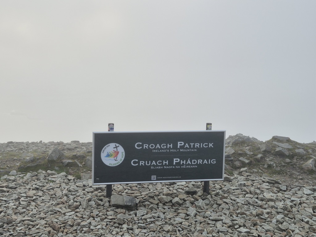
Croagh Patrick (Irish: Cruach Phádraig, meaning '(Saint) Patrick's stack'), nicknamed 'the Reek', is a mountain with a height of 764 m (2,507 ft) and an important site of pilgrimage in County Mayo, Ireland. The mountain has a pyramid-shaped peak and overlooks Clew Bay, rising above the village of Murrisk, several kilometres from Westport. It has long been seen as a holy mountain. It was the focus of a prehistoric ritual landscape, and later became associated with Saint Patrick, who is said to have spent forty days fasting on the summit. There has been a church on the summit since the 5th century; the current church dates to the early 20th century. Croagh Patrick is climbed by thousands of pilgrims every year on Reek Sunday, the last Sunday in July, a custom which goes back to at least the Middle Ages.
Croagh Patrick is the fourth-highest mountain in the province of Connacht on the P600 listing after Mweelrea, Nephin and Barrclashcame. It is part of a longer east–west ridge; the lower westernmost peak is named Ben Goram.
There's a hiking trail (T2) leading to the summit.
By elevation Croagh Patrick is
# 8 out of 116 in County Mayo # 74 out of 2365 in Ireland # 76 out of 2703 in the Mountains of Ireland
By prominence Croagh Patrick is
# 6 out of 116 in County Mayo # 17 out of 2365 in Ireland # 18 out of 2703 in the Mountains of Ireland
We use GPS information embedded into the photo when it is available.
3D mountains overlay
Adjust mountain panorama to perfectly match your photos because recorded by camera photo position might be imprecise.
Move tool
Rotate tool
Zoom
More customization
Choose which peak labels should make into the final photo and what photo title should be.
Next
Photo Location
Satellitte
Flat map
Relief map
Latitude
Longitude
Altitude
OR
Latitude
°'''
Longitude
°'''
Apply
Register Peak
Peak Name
Latitude
Longitude
Altitude
Register
Teleport
PeakVisor
This 3D model of Sagarmatha National Park in Nepal was made using the PeakVisor app topographic data. The mobile app features higher precision models worldwide, more topographic details, and works offline. Download PeakVisor maps today.
Download OBJ model
PeakVisor
The download should start shortly. If you find it useful please consider supporting the PeakVisor app.
PeakVisor for iOS and Android
Be a superhero of outdoor navigation with state-of-the-art 3D maps and mountain identification in the palm of your hand!