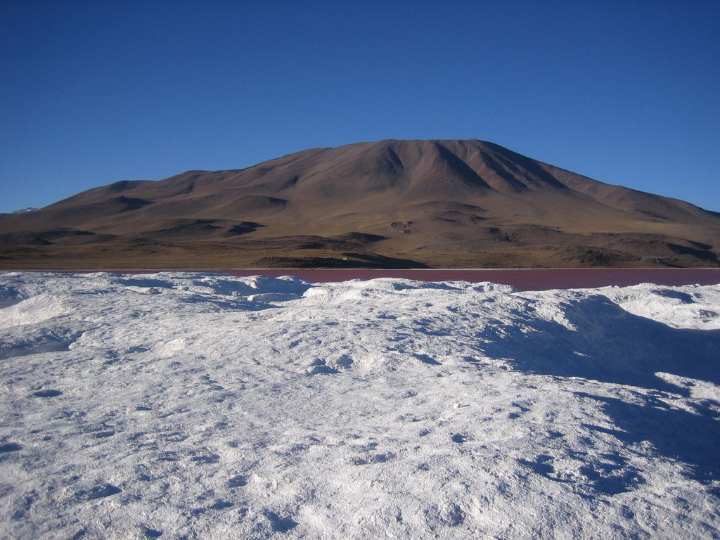
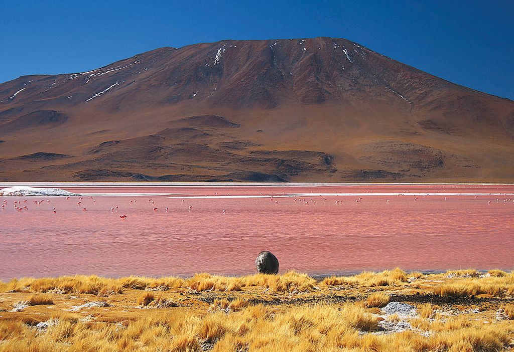
Jorcada is a volcano in the Andes, Bolivia. It is constructed by four fissures between Pastos Grandes and Laguna Colorada. Several stratovolcanoes, seven lava domes are constructed along the fissures, with craters ranging 0.2–1.5 kilometres (0.12–0.93 mi) in diameter.
The stratovolcanoes are of andesitic-dacitic composition and the lava domes have erupted rhyolite, and the last eruption occurred on the northwestern fissure 95,000 BP. On that fissure basaltic-andesitic centres were formed.
By elevation Cerro de Jorcada is
# 62 out of 3781 in Bolivia # 15 out of 150 in Provincia Sur Lípez # 25 out of 1235 in Potosí
We use GPS information embedded into the photo when it is available.
3D mountains overlay
Adjust mountain panorama to perfectly match your photos because recorded by camera photo position might be imprecise.
Move tool
Rotate tool
Zoom
More customization
Choose which peak labels should make into the final photo and what photo title should be.
Next
Photo Location
Satellitte
Flat map
Relief map
Latitude
Longitude
Altitude
OR
Latitude
°'''
Longitude
°'''
Apply
Register Peak
Peak Name
Latitude
Longitude
Altitude
Register
Teleport
PeakVisor
This 3D model of Sagarmatha National Park in Nepal was made using the PeakVisor app topographic data. The mobile app features higher precision models worldwide, more topographic details, and works offline. Download PeakVisor maps today.
Download OBJ model
PeakVisor
The download should start shortly. If you find it useful please consider supporting the PeakVisor app.
PeakVisor for iOS and Android
Be a superhero of outdoor navigation with state-of-the-art 3D maps and mountain identification in the palm of your hand!