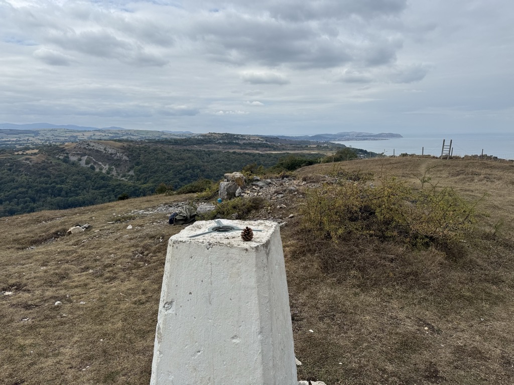
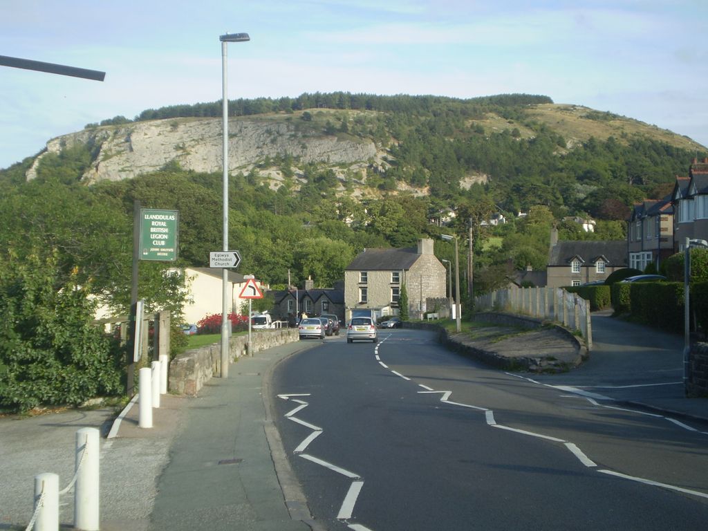
Cefn yr Ogof is the highest point of the hill to the west of Gwrych Castle near Abergele and Llanddulas. Ownership of the hillside is divided into three categories; an area managed by Welsh National Resources on behalf of the National Assembly of Wales, private ownership including the land immediately around Gwrych Castle and the western slopes which are predominantly common land and therefore open access. It is 204 m (669 ft) high, with views towards the Clwydian Hills, Denbigh Moors, (Mynydd Hiraethog) Snowdonia, the Great Orme, Anglesey and the Dulas valley. The name refers to the caves located on the hill.
It has recently been promoted to HuMP status, having a prominence of over 100 metres.
Large parts of Cefn yr Ogof are designated an SSSI.
We use GPS information embedded into the photo when it is available.
3D mountains overlay
Adjust mountain panorama to perfectly match your photos because recorded by camera photo position might be imprecise.
Move tool
Rotate tool
Zoom
More customization
Choose which peak labels should make into the final photo and what photo title should be.
Next
Photo Location
Satellitte
Flat map
Relief map
Latitude
Longitude
Altitude
OR
Latitude
°'''
Longitude
°'''
Apply
Register Peak
Peak Name
Latitude
Longitude
Altitude
Register
Teleport
PeakVisor
This 3D model of Sagarmatha National Park in Nepal was made using the PeakVisor app topographic data. The mobile app features higher precision models worldwide, more topographic details, and works offline. Download PeakVisor maps today.
Download OBJ model
PeakVisor
The download should start shortly. If you find it useful please consider supporting the PeakVisor app.
PeakVisor for iOS and Android
Be a superhero of outdoor navigation with state-of-the-art 3D maps and mountain identification in the palm of your hand!