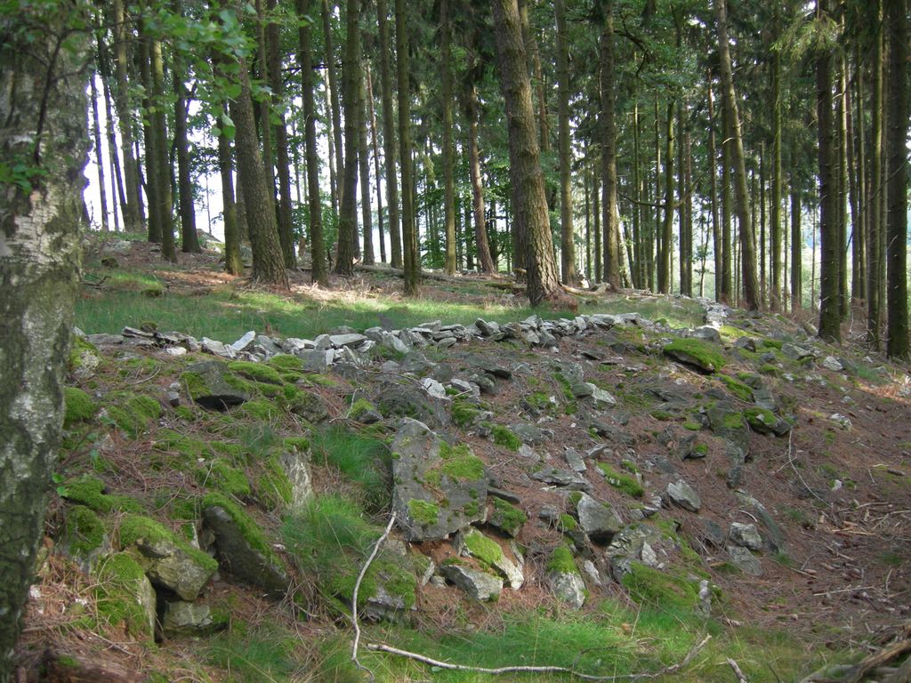
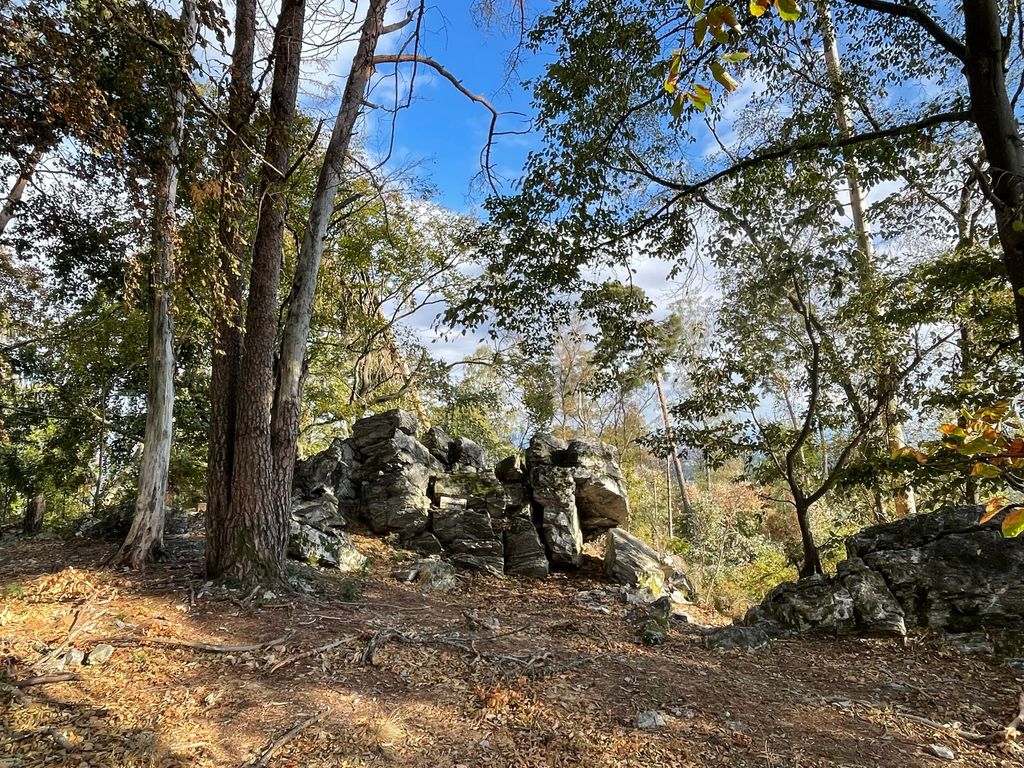
The Bleibeskopf is a hill in Hesse, Germany, about 6 km northwest of Bad Homburg.
In the late Bronze Age (about 800 BC), a pre-Celtic hillfort of the Urnfield culture was on the Bleibiskopf. The circular rampart, which was once 3 to 3.5 metres thick, about 1.8 metres tall and 490 metres long, is still recognisable today. Numerous bronze objects have been found on the Bleibeskopf: a hatchet, a decorated lance tip, a knife, a needle, a razor and leg rings.
There's a trail leading to the summit.
The nearest mountain hut is Homburger Hütte located 989m/3 245ft WSW of the summit.
We use GPS information embedded into the photo when it is available.
3D mountains overlay
Adjust mountain panorama to perfectly match your photos because recorded by camera photo position might be imprecise.
Move tool
Rotate tool
Zoom
More customization
Choose which peak labels should make into the final photo and what photo title should be.
Next
Photo Location
Satellitte
Flat map
Relief map
Latitude
Longitude
Altitude
OR
Latitude
°'''
Longitude
°'''
Apply
Register Peak
Peak Name
Latitude
Longitude
Altitude
Register
Teleport
PeakVisor
This 3D model of Sagarmatha National Park in Nepal was made using the PeakVisor app topographic data. The mobile app features higher precision models worldwide, more topographic details, and works offline. Download PeakVisor maps today.
Download OBJ model
PeakVisor
The download should start shortly. If you find it useful please consider supporting the PeakVisor app.
PeakVisor for iOS and Android
Be a superhero of outdoor navigation with state-of-the-art 3D maps and mountain identification in the palm of your hand!