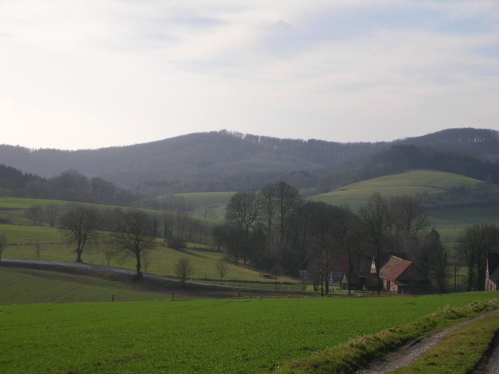
The Amelungsburg is a 292-metre (958 ft) high hill in the Lippe Uplands in central Germany, in the municipality of Dörentrup in the district of Lippe.
The Amelungsburg is believed to be the observation hill (Warthberg) belonging to the Piepenkopf rampart system located on its south-southwestern spur. Investigations into the charred remains (Brandfunde) at the site of the settlement with its double-embankment have been dated to 250 B.C. and can thus be presumed to have belonged to the La Tène culture. The settlement was not rebuilt.
At the southwestern foot of the Amelungsburg today is a still easily recognised, roughly 2-metre-high section of the ramparts with a 1.5-metre-deep ditch. It is suspected that this advanced rampart used to guard the road system.
In order to beat looters, the refuge castle has been investigated. Excavations on the plateau of the Amelungsburg unearthed about 300 individual items. In a number of spots there were both single and multiple hordes of goods.
The nearest mountain hut is Grillhütte located 1 516m/4 973ft E of the summit.
We use GPS information embedded into the photo when it is available.
3D mountains overlay
Adjust mountain panorama to perfectly match your photos because recorded by camera photo position might be imprecise.
Move tool
Rotate tool
Zoom
More customization
Choose which peak labels should make into the final photo and what photo title should be.
Next
Photo Location
Satellitte
Flat map
Relief map
Latitude
Longitude
Altitude
OR
Latitude
°'''
Longitude
°'''
Apply
Register Peak
Peak Name
Latitude
Longitude
Altitude
Register
Teleport
PeakVisor
This 3D model of Sagarmatha National Park in Nepal was made using the PeakVisor app topographic data. The mobile app features higher precision models worldwide, more topographic details, and works offline. Download PeakVisor maps today.
Download OBJ model
PeakVisor
The download should start shortly. If you find it useful please consider supporting the PeakVisor app.
PeakVisor for iOS and Android
Be a superhero of outdoor navigation with state-of-the-art 3D maps and mountain identification in the palm of your hand!