Scan the QR code and open PeakVisor on your phone
The Whiskeytown-Shasta-Trinity National Recreation Area (WST-NRA) encompasses 246,087 acres and is divided into three units: Whiskeytown, Shasta, and Trinity. The Shasta and Trinity units are surrounded by the Shasta-Trinity National Forest and managed by the Forest Service.
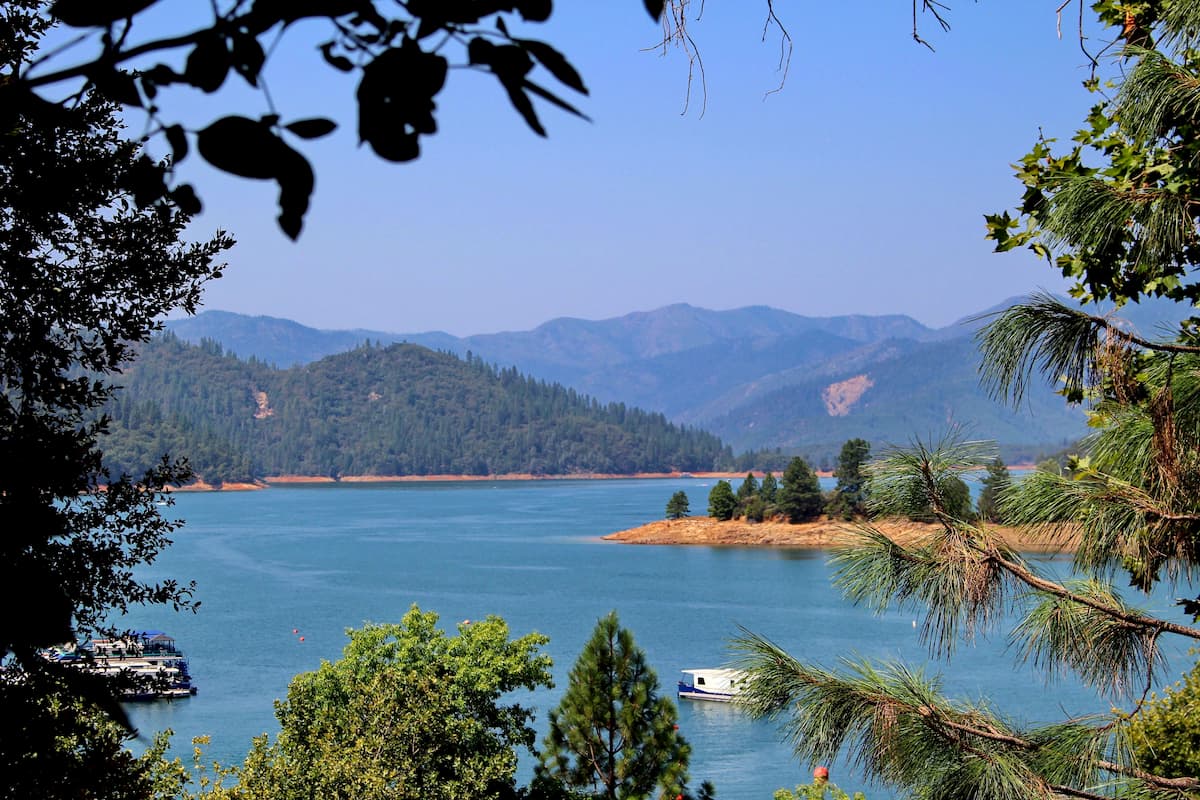
Established in 1965, the Shasta unit lies in the north central portion of Northern California at the juncture of the Klamath Mountains and the northern edge of the Sacramento Valley. This 123,100-acre unit is centered around Shasta Lake, California’s largest man-made reservoir. The lake was filled for the first time in 1952 after the construction of the Shasta Dam. When full, the lake covers 365 miles of shoreline and 30,000 surface acres.
Shasta Lake has four distinct arms: the Sacramento, McCloud, Squaw, and Pit arms. Though the Sacramento arm is the best-known and most developed, each arm offers a variety of outdoor recreation options, particularly for water sports enthusiasts.
The Squaw Creek Arm is notoriously rugged and remote, while McCloud sits nestled beneath stunning limestone summits. The longest arm of the lake, the Pit arm, houses expansive basins filled with gorgeous vistas, while the Sacramento Arm contains the infamous Shasta Dam, one of the largest concrete structures ever built.
Shasta Lake sits at the convergence of three major mountain systems and, as a result, is characterized by complex and diverse vegetation and topography. Impressive peaks like Bass Mountain and O’Brien Mountain represent the region’s incredible volcanic past, while Gray Rocks, Brock Mountain, and Backbone Ridge are composed of dark, metamorphic rock created by faulting and folding.

Although Shasta Lake and the Shasta Dam are the dominating features of the Shasta unit, the area also supports one of the largest nesting populations of bald eagles, making it an excellent destination for birdwatching. Wildlife enthusiasts often make their way to Packers Bay or Hirz Bay to observe an array of migratory birds.
The historic Hirz Mountain Lookout is located at the craggy summit of Hirz Mountain, high above the McCloud River Arm. At over 3,500 feet, the lookout offers expansive views of Mount Shasta, Mount Lassen, and the gray limestone exposures of Hirz Mountain. The lookout was originally constructed to detect fires due to its location overlooking the headwaters of the McCloud river. Today, the lookout can be reserved, weather permitting.
There are several trails that follow the shoreline of Shasta Lake. This area is particularly popular for day hiking, fishing, mountain biking, and general sightseeing. Bailey Cove, Waters Gulch, and Clikapudi are three popular loop trails at Shasta Lake. Bailey Cove is the shortest and easiest of the three. Bailey Cove travels along the lower McCloud Arm of Shasta Lake and circles a stunning mountain peninsula.

Waters Gulch follows Lake Shasta’s shoreline before climbing over a low ridge to the parking lot at the Packers Bay Boat Ramp. This trail offers great fishing and swimming access.
Clikapudi is located on the Jones Valley arm of Shasta Lake and is a popular trail for mountain biking and hiking. This 8-mile trail begins and ends at the boat ramp parking lot and contains a 1-mile ‘Advanced Loop’ that is particularly popular with mountain bikers.
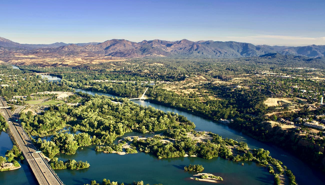
Just 20 minutes from Shasta Lake, Redding is a big, bustling city surrounded by magnificent mountains, lakes, and scenic drives. Named ‘the unofficial capital of kayaking’ by TIME magazine, Redding’s mild weather and unfettered access to outdoor recreation make it the perfect place to stay when exploring the Shasta-Trinity area.
Nestled within the shadow of Mt. Shasta, this tiny community sits just 15 minutes east of Mt. Shasta city and the nearby Mt. Shasta Ski Park. Despite its modest size, McCloud is known for its variety of outdoor activities, amenities, and charming boutiques. At the center of town, the historic McCloud River Mercantile and Hotel offers twelve uniquely themed rooms that are encapsulated in McCloud’s rich history.
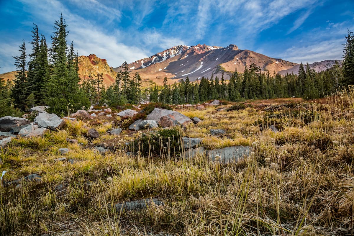
Known as an alpine community and one of the fastest growing tourist destinations in Northern California, the mountain’s namesake city, Mount Shasta, is the perfect destination for outdoor enthusiasts looking to explore the Shasta-Trinity National Forest. Within proximity of the city, visitors will find hundreds of miles of hiking and biking trails, stunning mountain vistas, and tranquil alpine lakes. One of the larger cities in this region, Mt. Shasta offers a variety of accommodations including hotels, bed & breakfasts, resorts, and a few secluded retreats.