Scan the QR code and open PeakVisor on your phone
Located in the southern region of Vancouver Island in British Columbia, Canada lies the Sooke Mountain Provincial Park. The park is one of the oldest in the region after having been established in 1928. Today the park encompasses 1,100 acres across the island and is part of the Sea to Sea Green Blue Belt that surrounds much of the land around Victoria, BC. There are 7 named mountains in Sooke Mountain Provincial Park. Thunderbird Mountain is the highest point at 1,795 feet. The most prominent mountain is Sooke Mountain with 299 feet of prominence.
Prior to becoming protected as a provincial park, the region acted as a wilderness destination for those who were working on the Canadaian Pacifiic Railway. Like much of the land in Canada, the Victoria region has long since been home to First Nation tribes. Sadly, much of the park, and the surrounding provincial parks were logged extensively during the 1950s. This played a large part in establishing the Sea to Sea Green Blue Belt in the region.
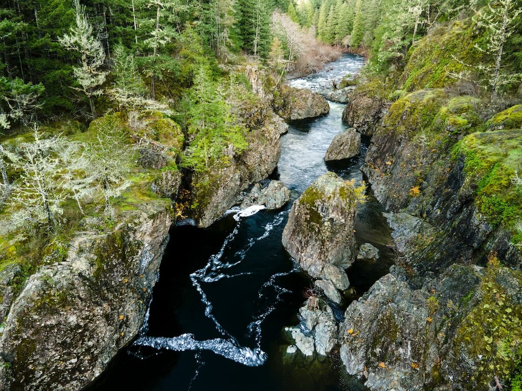
Though beautiful and rugged, the park does not have any established roads or trails. The most common access to the park comes from fly fishers who are headed to Shields Lake and Crabapple Lake.
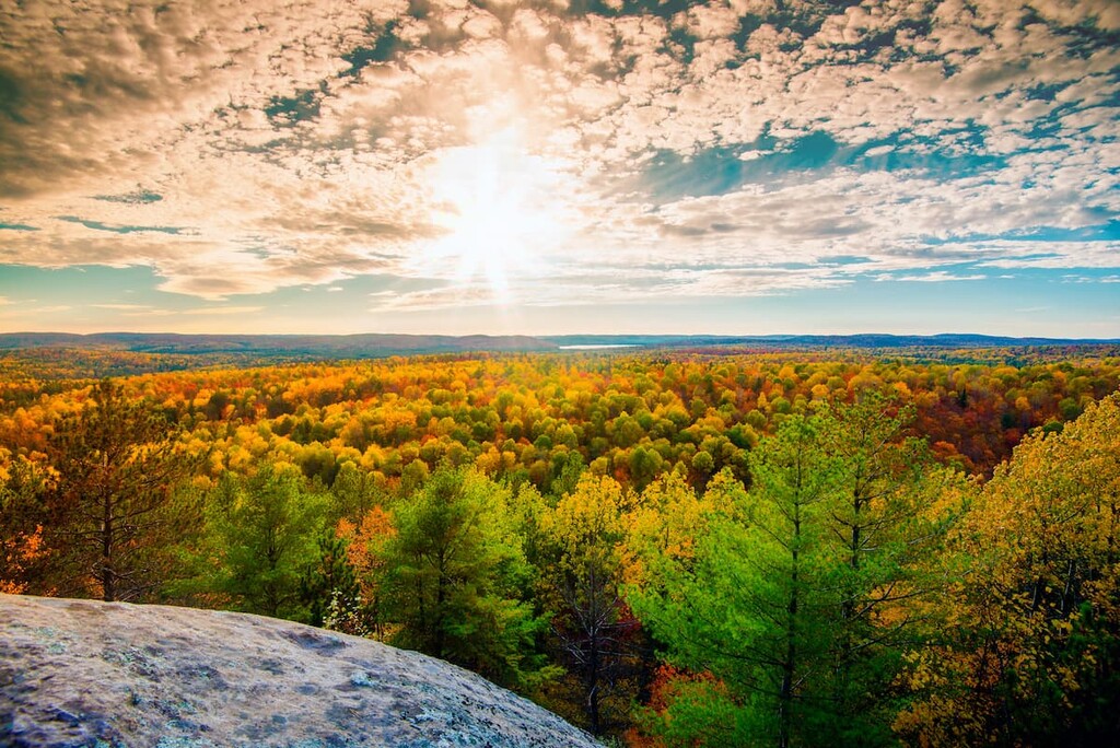
Because the park isn’t well traveled, flora and fauna thrive. The park helps protect the endangered Garry oak trees as well as the Sooke River. The Sooke Mountain Provincial Park is inhabited by black bears, cougars, elk, gray work, as well as native bird populations. Because the park is smaller than most, animals frequently pass through the area.
Shields Lake: The most popular trail in the park leads to Shields Lake. The route is 4.7 miles out and back with just over 1,000 feet in elevation gain. The trail climbs steadily through the forest with many viewpoints throughout the climb. Once at the lake the trail circles around the northern half providing ample spots to stop and eat or fish in the waters.
Thunderbird Mountain Loop: To travel to the highest point in the park the Thunderbird Mountain Loop covers 5.5 miles with 1,440 feet of elevation gain. The high elevations allow hikers panoramic views. The Olympic Mountains of Washington State lie far off to the south, the mountains of Vancouver Island span to the northwest while the Coastal Mountains of mainland British Columbia can be seen to the north. The trail is property of the YMCA of the region but hiking is permitted as long as prior notice is given.
Mount Empress: The trail to the summit of Mount Empress is 3.7 miles round trip with 1,070 feet of total elevation gain. The trail, like many in the region, begins in the dense and lush forest before climbing above the tree line to reveal views of the Strait of Juan de Fuca separating Vancouver Island from the Olympic Peninsula.
The city of Victoria is the capital for the province of British Columbia in Canada. Located on the southern tip of Vancouver Island, Victoria is the largest city on the entire island with a population of 85,792 and the greater area having a population of 367,770. The island can be reached by ferry from mainland British Columbia as well as Washington State in the United States. The city was named after Queen Victoria and is one of the oldest cities in the Pacific Northwest. The region is known for rock climbing, hiking, kayaking, surfing, and skiing. The close proximity to both the ocean and mountains makes this city a mecca for outdoor activities.

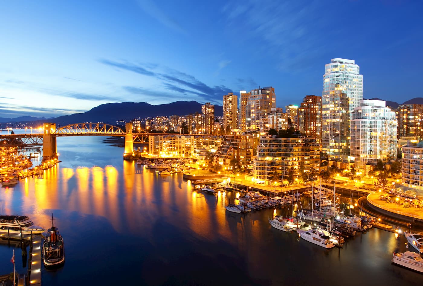
Vancouver is the third largest city in Canada and the largest city in the entire province. Vancouver can be accessed from Vancouver Island via a ferry. While the city population is 603,000, the Vancouver metro area has a population of over 2,500,000. The city is one of the most ethnically and linguistically diverse cities in Canada. The mild climate of the city, along with its abundant access to lakes, trails, and mountains, makes it a popular destination for outdoor recreation. The city is close to three ski resorts, and an abundance of hiking, running, and mountain biking trails.