
Scan the QR code and open PeakVisor on your phone
Siuslaw National Forest has 104 named peaks. The highest is Marys Peak at 1,250 m. Other notable peaks include West Ridge, Mount Hebo and Main Point.
The Siuslaw National Forest is within the Oregon Coast Range. The entire forest covers an area of 630,000 acres stretching between the towns of Coos Bay and Tillamook. This national forest included the Sand Lake Recreation Area and the Oregon Dunes National Recreation Area. The forest is divided into two Ranger Districts, Central coast District to the south and the Hebo District to the north. There are 50 named mountains in Siuslaw National Forest.
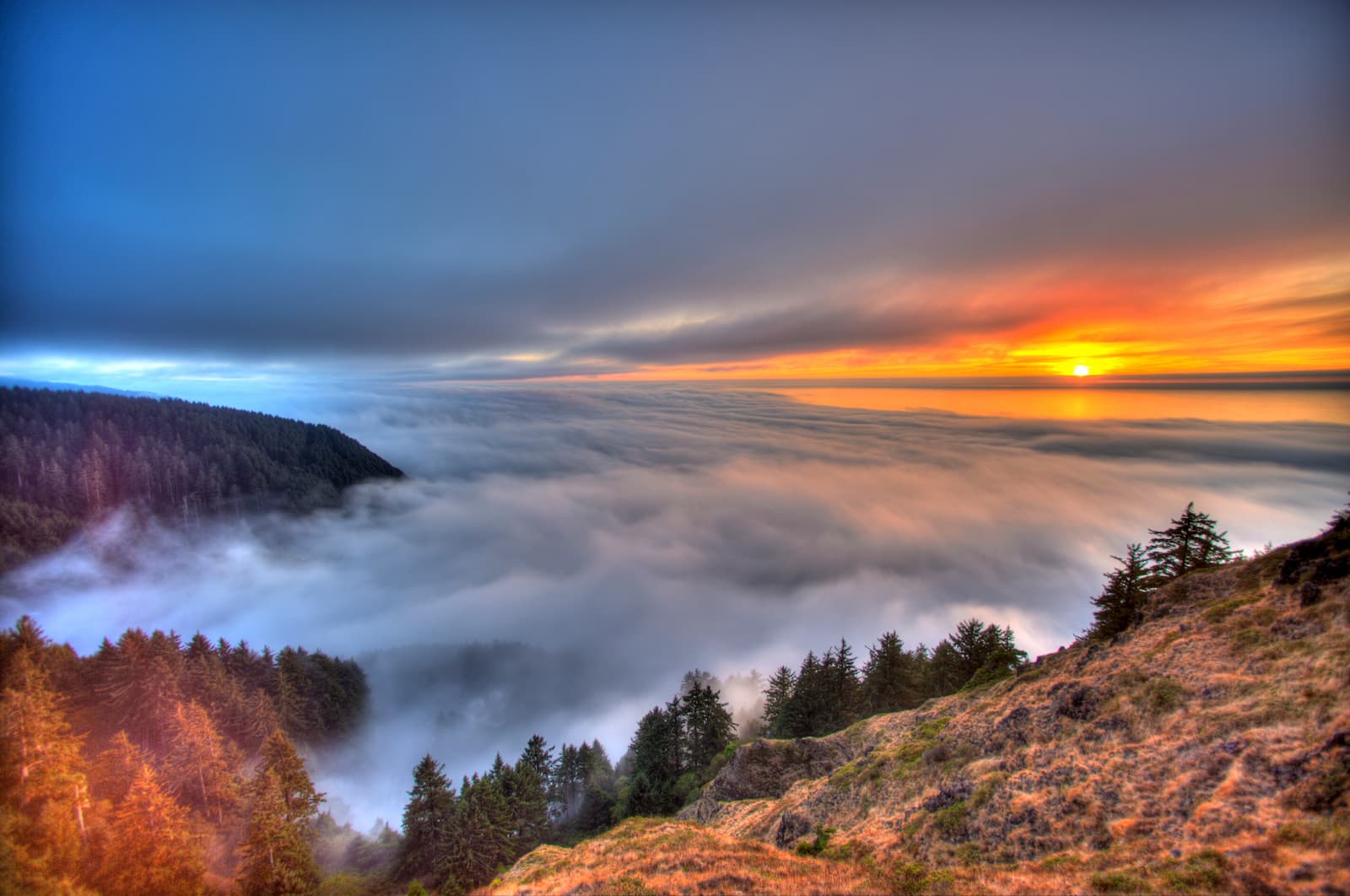
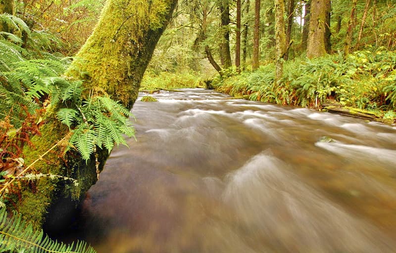
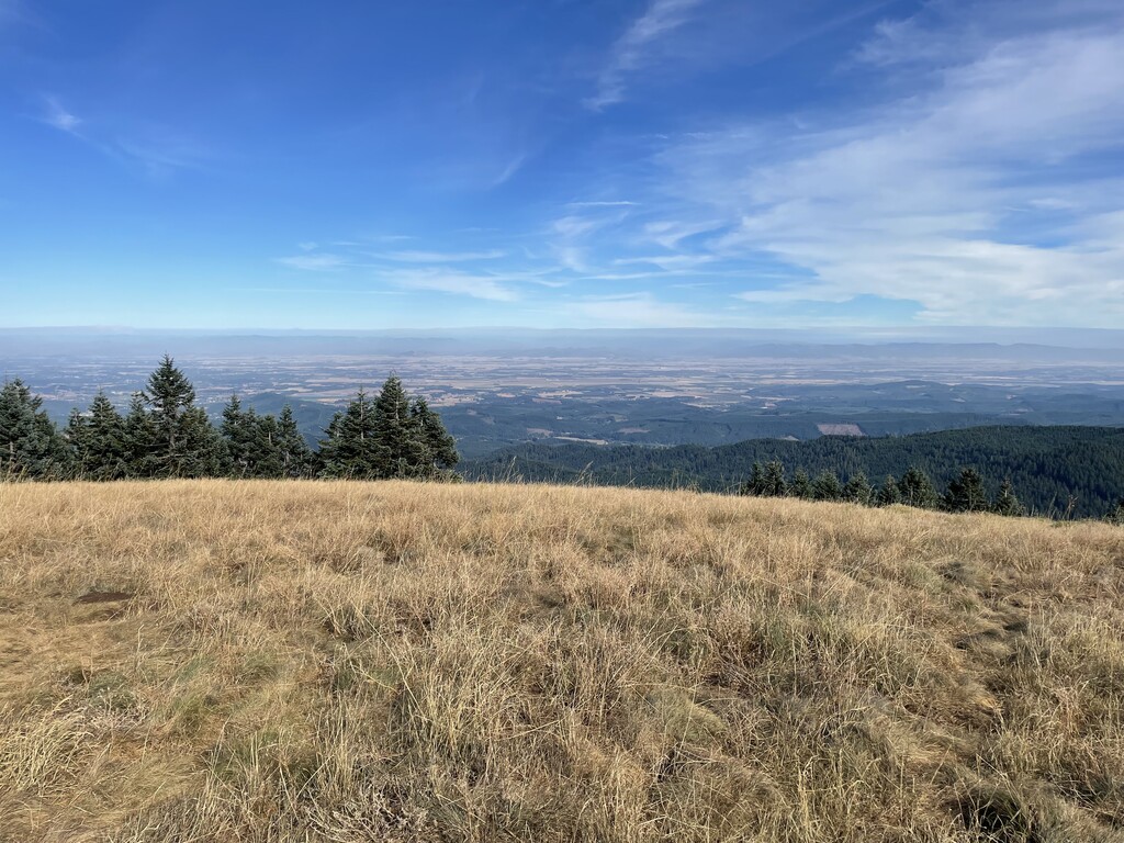
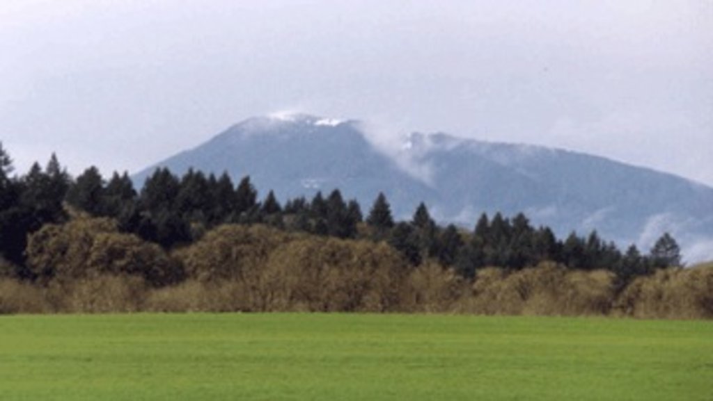
The highest and the most prominent mountain is Marys Peak standing at 4,097 feet. There are four major rivers that run through the forest, Alsea, Nestucca, Siuslaw, and Umpqua rivers. The forest is also home to over 30 named lakes. The area is home to two distinct vegetation zones. The western side of the forest, near the Pacific Ocean, is dominated by Sitka spruce trees while the eastern side of the forest is full of Western Hemlock and Douglas Fir trees. Trees in the Siuslaw National Forest grow extremely rapidly due to the high rainfall and optimal weather conditions. Within the forest there are three designated Wilderness areas; Drift Creek, Cummins Creek, and Rock Creek. The region is known for camping, hiking, mountain biking, and exploring the unique Oregon coast.
The Gwynn Creek Loop Trail is located within the Cape Perpetua Scenic Area within the Siuslaw National Forest. This 6.3-mile loop trail has 1,200 feet of total elevation gain. The loop connects Cook’s Ridge with Gwynn Creek while taking you through breathtaking old-growth forest. The trail starts at the visitor’s center for the Cape Perpetua Scenic Area. Follow the trail inland through the old forest until the trail begins to loop back towards the ocean. Near the end of the hike you will begin to hear the crashing sounds of waves on the shore. The last mile of the trail walks along the coastal cliffs before returning to the visitor’s center.
One of the most iconic landscapes within the Siuslaw National Forest are the sand dunes along the Oregon coast. These diverse and unique landscapes attract travelers from all over the state. The John Dellenback Dunes Trail is 2.7 miles one way and rated as easy. The trail starts at the Eel Creek Campground where you pass through what is now an overgrown dune. As the trees begin to thin, you will arrive at dunes themselves. Be careful where you step as much of the land is loosely packed. Follow the signs (note that some may be covered by the shifting dunes) until you reach the beach. Climb up to high points within the dunes to take in the expansive and diverse landscape below.
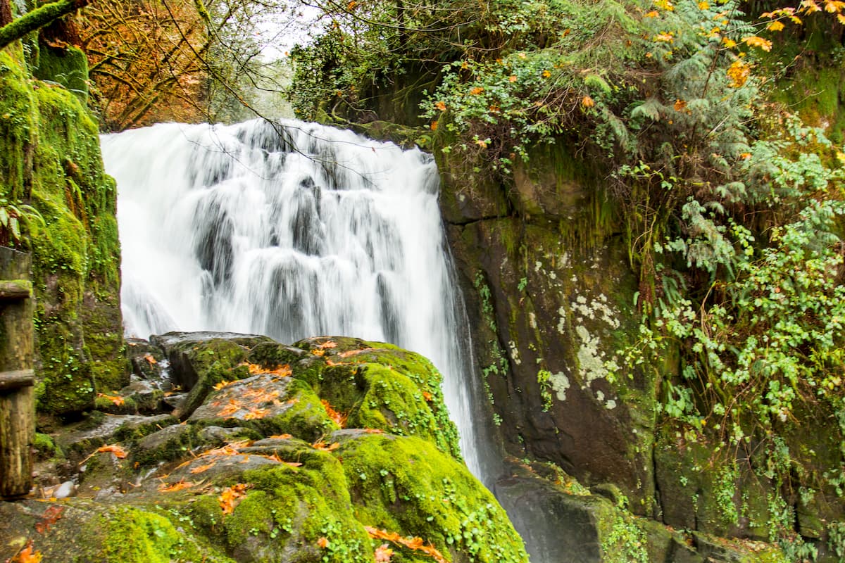
This 3.7 mile out and back trail takes you to one of the most beautiful waterfalls in the area. Descend on the trail for 0.8-miles until you see Upper Kentucky Falls, a smaller waterfall than the main attraction. Continue down the trail until you reach Kentucky Falls. These falls stand at 100 feet tall and sit at the confluence of Kentucky Creek and Smith River.
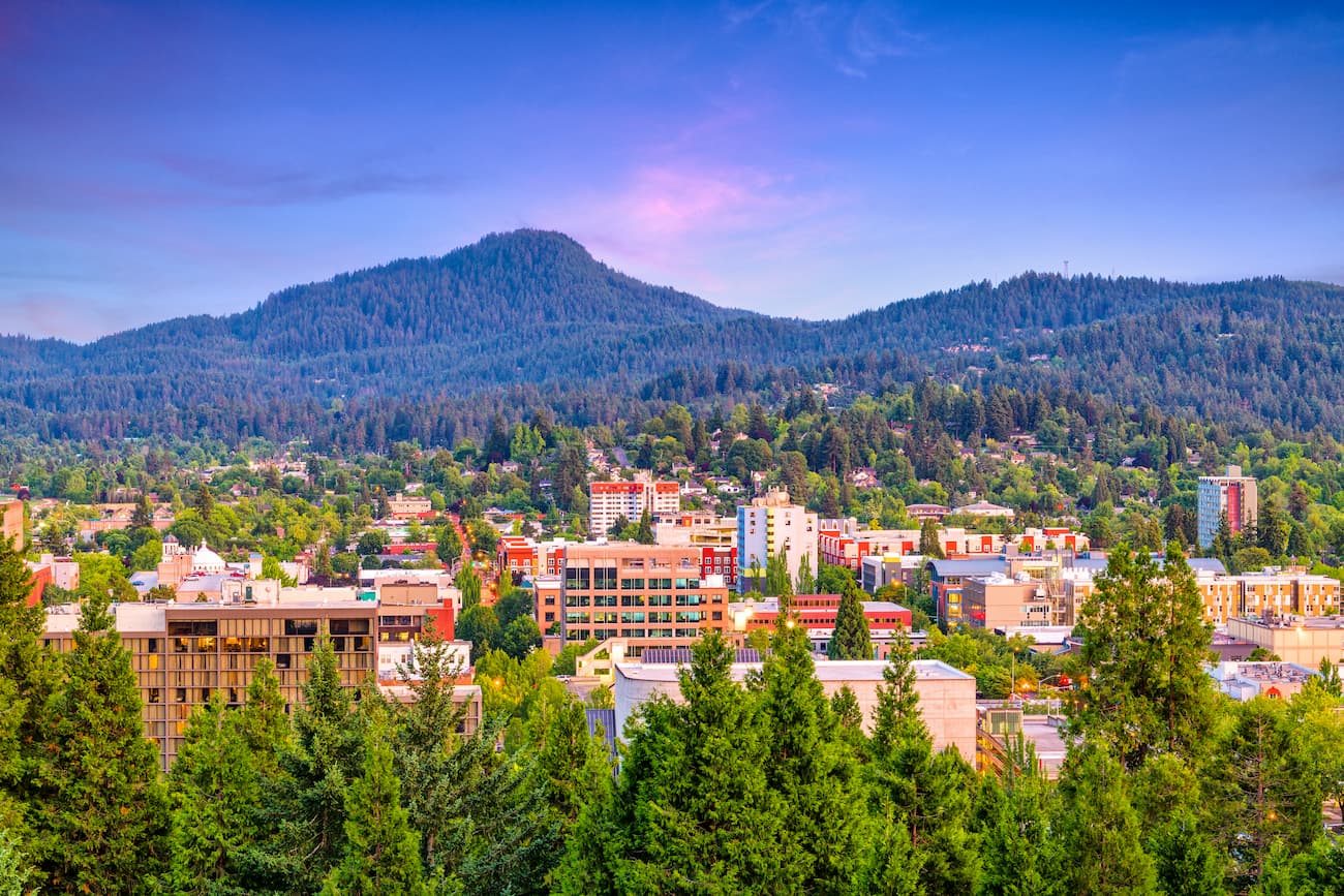
Known as “Track Town, USA”, Eugene is a runner’s paradise. With a population of nearly 200,000, the city is the largest within central Oregon. The city is located two hours south of Portland, and just one hour south of Salem, Oregon’s state capitol. Eugene is the closest major city to the Siuslaw National Forest with many small towns located on the Oregon coast. The town is known for its focus on environmentalism and abundance of recreation activities including biking, hiking, rafting, and of course, running. Eugene is also where the Nike corporation began. Be sure to check out the Lane County Farmers’ Market or grab a bite to eat at one of the many local restaurants.
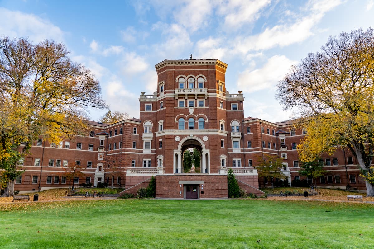
Located in central western Oregon, Corvallis has a population of approximately 58,000. The town is known for being the location of Oregon State University, one of the largest universities within the state. The term Corvallis means “heart of the valley” as the city is located within the Willamette Valley. The surrounding area is known for its hiking as well as its many wineries. As one of the major wine regions on the west coast, it is worth considering adding a wine tour to your list while visiting. The city of Corvallis sits 90 minutes south of Portland, the largest city within the state. The gorgeous, remote, and rugged Oregon coast sits an hour drive west of the city.


_(benDA0137).jpg)
The highest peak in Siuslaw National Forest is Marys Peak, at 1,250 m.
Notable peaks in Siuslaw National Forest include Marys Peak, West Ridge, Mount Hebo, Main Point and South Point.


.jpg)