Get PeakVisor App
Sign In
Search by GPS coordinates
- Latitude
- ° ' ''
- Longitude
- ° ' ''
- Units of Length

Yes
Cancel
❤ Wishlist ×
Choose
Delete
The Protected Landscape Lake Pogradec covers Albania’s portion of Lake Ohrid, a fabulously clear lake on the border between North Macedonia and Albania. The area has many names owing to its location at a crossroads of culture and language, hence Pogradec. Grasslands, mountains, wetlands, and crystal clear lakeshore are the natural attractions of Lake Ohrid. Meanwhile, the lake is also historical, with many structures dating back over 1,000 years. The lake is one of the early cradles of civilization and has likely been inhabited for tens of thousands of years.
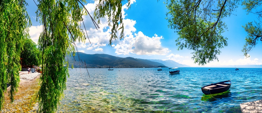
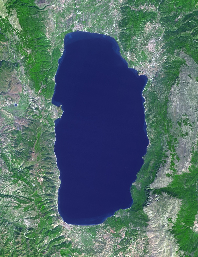
Lake Ohrid, also known as Ohridsko Ezero in Macedonian and Liqeni i Ohrit or Liqeni Pogradecit in Albanian, is a lake that sits on the border between North Macedonia and Albania. In Albania, part of the lake's coast is a Managed Nature Reserve, while in North Macedonia, a section of the lakeside is part of Galičica National Park.
The towns located on the lakeside include Ohrid and Struga in North Macedonia and Pogradec in Albania. Villages and resorts in both countries surround the lake. The park covers about 28,000 ha (69,189 ar).
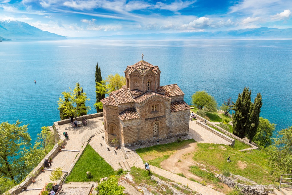
Covering 358 sq. km (222 sq. mi), Lake Ohrid holds an estimated 55 cubic km (34 cubic mi) of water. At its widest point, it measures 30.4 km (18.9 mi) long and 15 km (9.3 mi) wide, with a shoreline extending 87 km (54 mi). The lake has an average depth of 155 m (508 ft) and reaches 288 m (945 ft) at its deepest point.
North Macedonia possesses 64% of Lake Ohrid's shoreline and 69% of its surface area, while Albania has 36% of the shoreline and 31% of the surface area. The park, situated between 695 m (2,280 ft) and 2,288 m (7,507 ft) above sea level, encompasses various landscapes and ecosystems, including a UNESCO World Heritage Site. The Ohrid-Prespa Transboundary Reserve was added to UNESCO's World Network of Biosphere Reserves in 2014. UNESCO also extended Albania's side of Lake Ohrid as a World Heritage Site in 2019.
The Pogradec and Verdovo rivers originate in the surrounding mountains and flow into the southwestern part of Lake Ohrid. The lake influences the local climate, moderating winter temperatures and cooling summers.
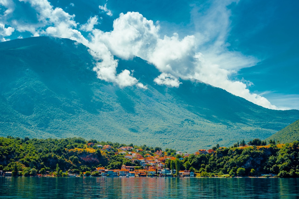
Lake Ohrid loses water mainly through evaporation and via the Black Drin River to the Adriatic Sea. Lake Ohrid's water circulation is influenced by wind and the Earth's rotation, with most movement along the shore in a counterclockwise direction. The lake is oligotrophic, with low nutrient concentrations and exceptionally clear water.
Over time, Lake Ohrid's water level has decreased, leaving visible evidence on its terraces. These terraces in areas like Buçimash, Lin, Struga, and Ohrid were once islands but have become peninsulas today.
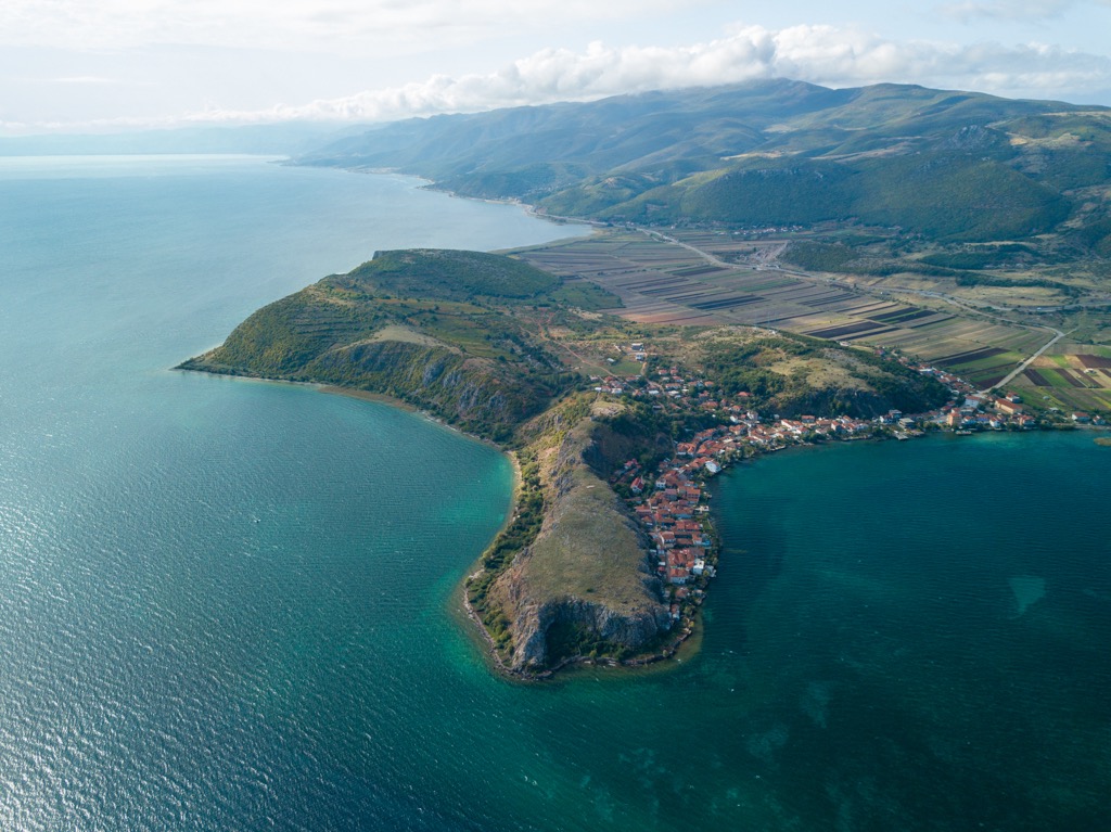
Like most mountains, the Ohrid and Prespa Lakes exist because of plate tectonics; they are the largest in a chain of tectonic basins, including Lake Ioannina, known as the Dessaret group. This transition in tectonics occurred around 6 million years ago, and the oldest lake sediments date back to possibly 3-5 million years ago. The Dessaret chain is a rift valley similar in origin to ancient lakes like Baikal and Titicaca. Ohrid has survived due to its depth and minimal sediment inflow from Lake Prespa.
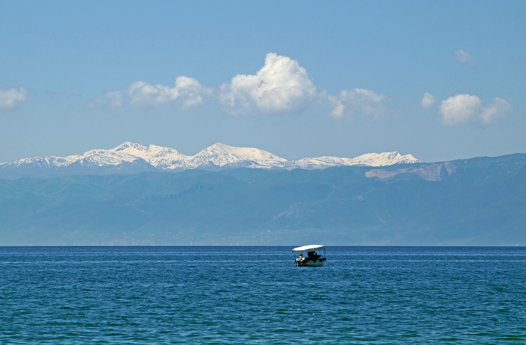
The massive Prespa-Ohrid Lake system spans Greece, North Macedonia, and Albania. The area’s underlying geological makeup consists of Paleozoic metamorphic silicates overlaid by thick layers of porous limestone. Due to the limestone's porous nature, an underground connection between Lake Prespa and Lake Ohrid is present.
Water from Prespa Lake emerges from various coastal and underwater karst springs, as well as rivers and runoff from the surrounding mountains. In contrast, the springs near the St. Naum monastery on Lake Ohrid contribute significantly to the lake's water volume. More than half of Ohrid’s water flows directly from Lake Prespa.
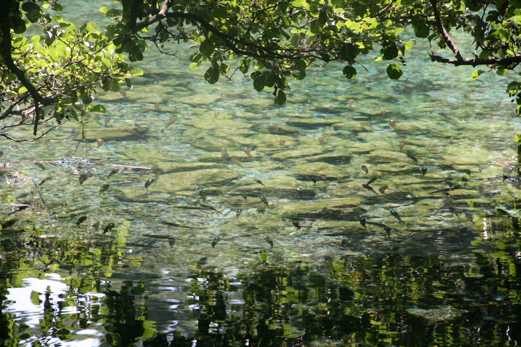
However, the region’s greatest geological fascination is the exceptional clarity of Lake Ohrid. It’s one of the clearest lakes in Europe, with average clarity around 14m (46 ft). The euphotic zone, or the depth at which photosynthesis can still occur, is 150m (500 ft). Ohrid owes its clarity to the karstic influx of water. It receives most of its water from underground springs sourced from nearby Lake Prespa. These springs filter particulates out of the water before it enters the lake. Only a minority of water influx is due to the sediment-rich streams running down from the Galichica Mountains.
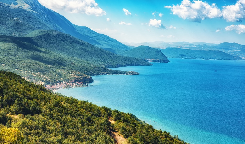
The protected landscape of Pogradec in Albania features diverse vegetation levels shaped by climate and environmental conditions. Species like oak, beech, chestnut trees, and black pine thrive in different areas. Various medicinal plants and grasslands support bird populations, while mammals like otters, bears, and wolves inhabit the region.
Lake Pogradec's ecosystem, vegetation, and fauna are closely linked to water quality. Coastal vegetation and aquatic plants are vital in filtering pollutants and providing habitat for fish and other species.
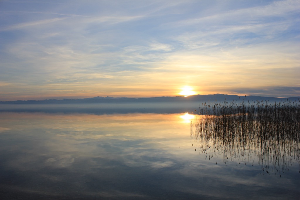
Lake Ohrid and Prespa are crucial for preserving endemic species, earning them recognition as Biosphere Reserves. Lake Ohrid, in particular, boasts a high number of endemic diatom species and endemic macroalgae like Chara ohridana. The lake's benthic fauna, including endemic species like the round sponge, also highlight this high rate of endemism.
Phytoplankton and zooplankton communities serve as indicators of water quality, with endemic fish species comprising a significant portion of the fish fauna. Bird species like Fulica atra and Netta rufina thrive in the lake watershed.
Illyrian tribes, including the Enchele and Dassaretii, inhabited the ancient region around Lake Ohrid. Legend has it that the Phoenician king Cadmus founded Lychnidos, the ancient predecessor to the modern town of Ohrid. Archaeological evidence suggests the city existed during the reign of King Philip II of Macedon.
Lychnidos faced various rulers throughout history, including the Romans, Bulgarians, and Byzantines. In the Middle Ages, it became a cultural and religious center under Bulgarian rule, later passing through the hands of various empires and local rulers, including Albanian leaders like Pal II Gropa and Ottoman control.
In the modern era, Ohrid was controlled by Serbia, Bulgaria, and Yugoslavia before becoming part of Macedonia. Tragically, it was the site of the Avioimpex Flight 110 crash in 1993, the deadliest aviation disaster in North Macedonia's history.
Due to its size and biodiversity, Lake Ohrid is an important research site, offering insights into geological and biological evolution, climate history, and agriculture. Overfishing and pollution have decreased fish populations, prompting conservation measures like fishing moratoriums.
UNESCO designated Lake Ohrid a World Heritage Site, but the region still faces threats like tourism, pollution, and urban development. The area, known for its historical sites and pristine environment, attracts an increasing number of tourists. While international tourism declined during regional conflicts, it has slowly recovered. Fishing villages dot the shores, though tourism now drives the local economy. The lake's catchment area, with a population of around 170,000 people, has grown by 100,000 in the last 50 years, straining its fragile ecosystem.
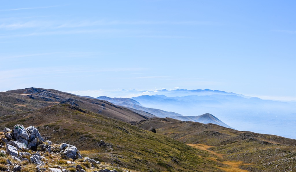
Pllaja e Pusit is the highest point of the Mali i Thate mountain range. This peak offers a panoramic vista at an impressive elevation of 2,287 m (7,503 ft). One can see Ohrid Lake, Prespa National Park, and Prespa Lake from this vantage point. The hike to the summit is 8 km (5 mi) and boasts an elevation gain of 1,200 m (3,937 ft).
The hike starts from Alarup Village, a 30-minute car ride from Pogradec city center. Hikers can look forward to spotting the Tree of Life, a solitary tree at 2,000 m (6,562 ft) serving as a landmark in the pasture area. You’re almost there!
The highest point of the Lake Ohrid watershed guarantees breathtaking views from the summit. However, there are no water sources along the hike, so be sure to pack enough water!
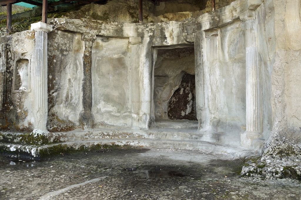
Lin Village is great for hikers seeking natural and cultural richness. Situated on a rocky peninsula along the western coast of Ohrid Lake, approximately 22 km (13.7 mi) from Pogradec, it showcases local heritage. Visitors can enjoy the lake, the mosaic-adorned streets, and the monumental tombs of Selca.
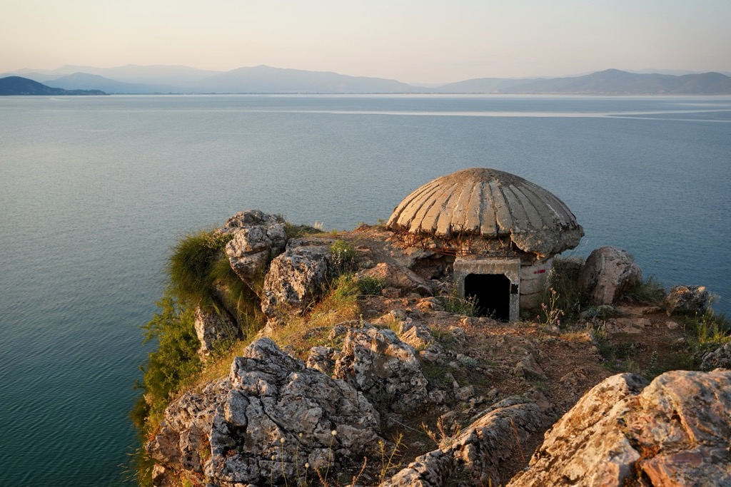
Pogradec is located on the southwestern shore of Lake Ohrid and is the largest city on its shores, with a population of 61,000. The city has been inhabited since at least the time of the Illyrians and is now part of Albania. In addition to the lake, visitors will be interested in the Illyrian Royal Tombs, which are on the shortlist for becoming another World Heritage Site (Pogradec is already listed within the Lake Ohrid region).
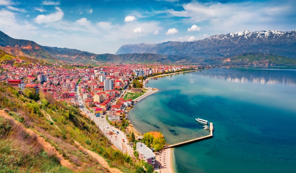
With a population of around 42,000, Ohrid is known for its numerous churches, some dating back to the eleventh century. Ohrid is a UNESCO World Heritage Site, celebrated for its ancient architecture and Byzantine frescoes. The city offers a blend of cultural and outdoor experiences, with opportunities for boating and hiking around Ohrid Lake.
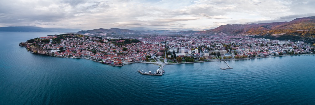
Struga, located on the northern shores of Lake Ohrid, is known for its poetry and natural splendor. Home to approximately 16,500 residents, Struga hosts the Struga Poetry Evenings, an international poetry festival. The town's riverside promenade offers stunning views of the lake and surrounding mountains.
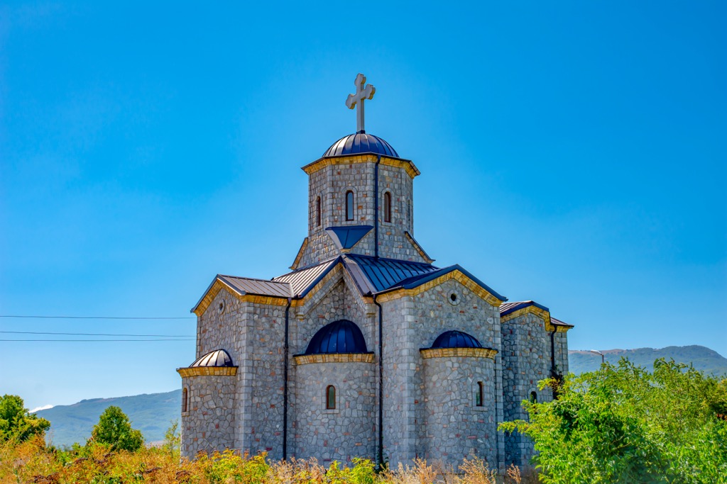
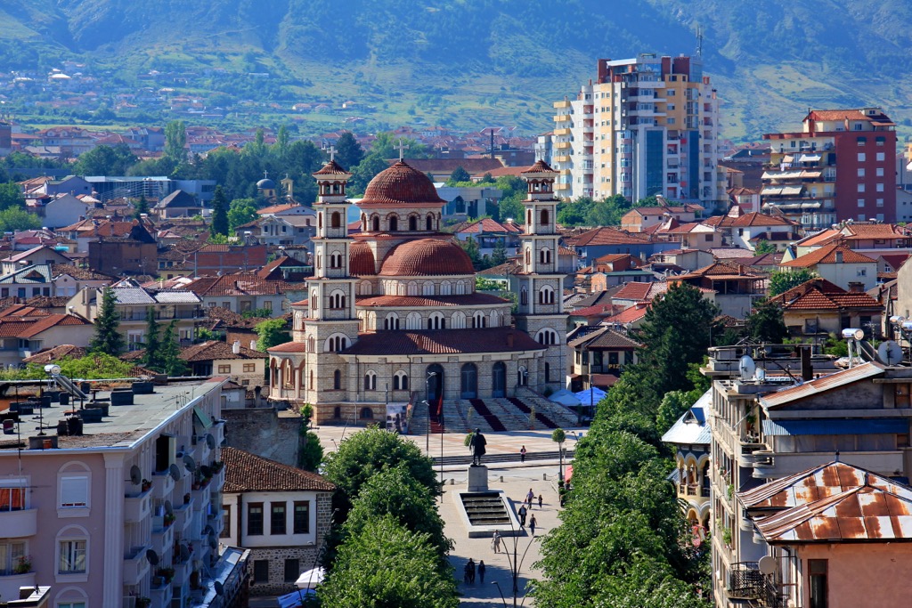
With a population of over 76,000, Korce is known as the "City of Serenades." The town blends Ottoman and European architecture, and the city is a hub of art and education, home to museums and galleries.
Explore Rezervat Natyror i Menaxhuar "Liqeni Pogradecit" with the PeakVisor 3D Map and identify its summits.


