Get PeakVisor App
Sign In
Search by GPS coordinates
- Latitude
- ° ' ''
- Longitude
- ° ' ''
- Units of Length

Yes
Cancel
❤ Wishlist ×
Choose
Delete
Galichica National Park is located on the border between two countries and two lakes, Ohrid and Prespa Lakes. The park is known for its luscious forests, diverse wildlife, and proximity to the Prespa and Ohrid lakes and the surrounding historic communities. There are 55 named mountains in National Park Galichica; Kota (2,264m / 7,428 ft) is the highest, while Lako Signoј (Vakafski Gnoј) is the most prominent, with 417m (1,368 ft) of prominence.
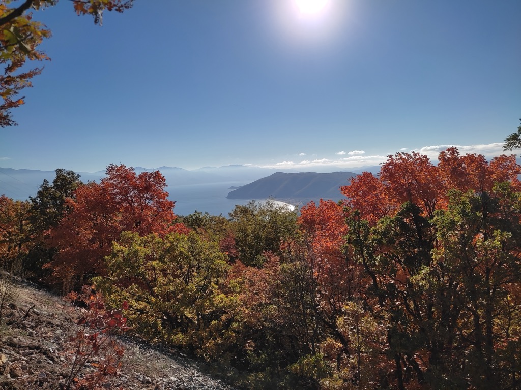
Galichica, also known as Galičica or Mali i Thatë, is a national park straddling the border between North Macedonia and Albania. The park is nestled between Lake Ohrid and Lake Prespa on the North Macedonian side.
This park covers 227 sq. km (87.6 sq. mi) and was established in 1958 to protect the mountain's unique nature and beauty. Notably, about two-thirds of the park is part of the UNESCO World Heritage Site of the Ohrid region. The Public Institution Galichica National Park manages the park and is fully integrated into the Ohrid-Prespa Transboundary Biosphere Reserve.
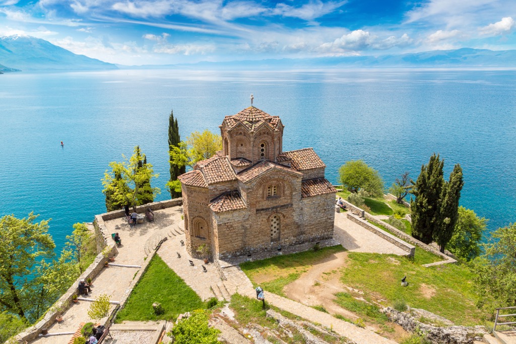
Galichica National Park is situated in the southwest of Macedonia. It encompasses parts of the Galichica mountain range and includes the island of Golem Grad in Lake Prespa. The park is part of the greater Sharri-Pind mountain system.
The park’s altitudes range from 695 m (2,280 ft) at Lake Ohrid and 850 m (2,789 ft) at Lake Prespa to 2,264 m (7,424 ft) at Kota, the peak’s highest peak.
The mountain's relief is characterized by deep valleys and steep slopes leading down to the lakes. Galicica is divided into four distinct parts, including Stara Galicica to the south, featuring its highest peaks and rugged terrain, and Galichica to the north, with a narrower width and steep slopes toward the lakes. The remaining massif is divided into two parts: the Petrino area, which slopes toward Lake Ohrid, and the eastward slopes into the Prespa Valley opposite.
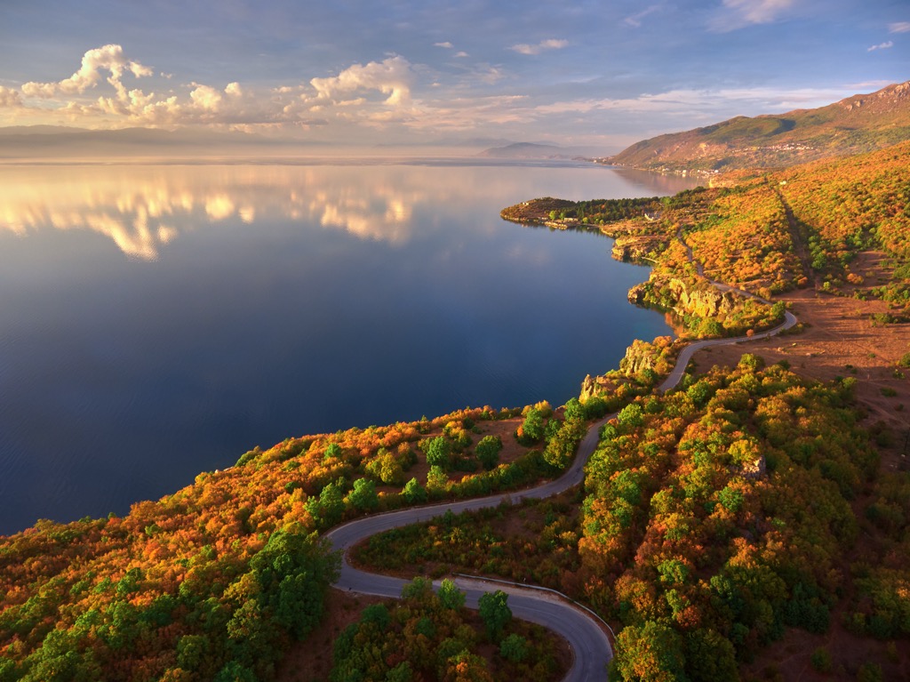
Mount Galicica's rugged terrain, including deep valleys and high mountain ridges, offers breathtaking panoramic views, especially in the southern region, where peaks exceed 2,000 m (6,561 ft).
The massive Prespa-Ohrid Lake system spans Greece, North Macedonia, and Albania, far beyond the borders of Galichica National Park. Galichica's underlying geological makeup consists of Paleozoic metamorphic silicates overlaid by thick layers of porous limestone. Due to the limestone's porous nature, an underground connection between Lake Prespa and Lake Ohrid is present.
Water from Prespa Lake emerges from various coastal and underwater karst springs, as well as rivers and runoff from the surrounding mountains. In contrast, the springs near the St. Naum monastery on Lake Ohrid contribute significantly to the lake's water volume.
Recent observations have noted a decrease in Prespa Lake's water level. While it's known that water from Prespa Lake flows into Ohrid Lake through Galichica, it's uncertain if this is the primary cause of Prespa Lake's water loss.
However, the region’s greatest geological fascination is the exceptional clarity of Lake Ohrid. It’s one of the clearest lakes in Europe, with average clarity around 14m (46 ft). The euphotic zone, or the depth at which photosynthesis can still occur, is 150m (500 ft). Ohrid owes its clarity to the karstic influx of water. It receives most of its water from underground springs sourced from nearby Lake Prespa. These springs filter particulates out of the water before it enters the lake. Only a minority of water influx is due to the sediment-rich streams running down from the Galichica Mountains.
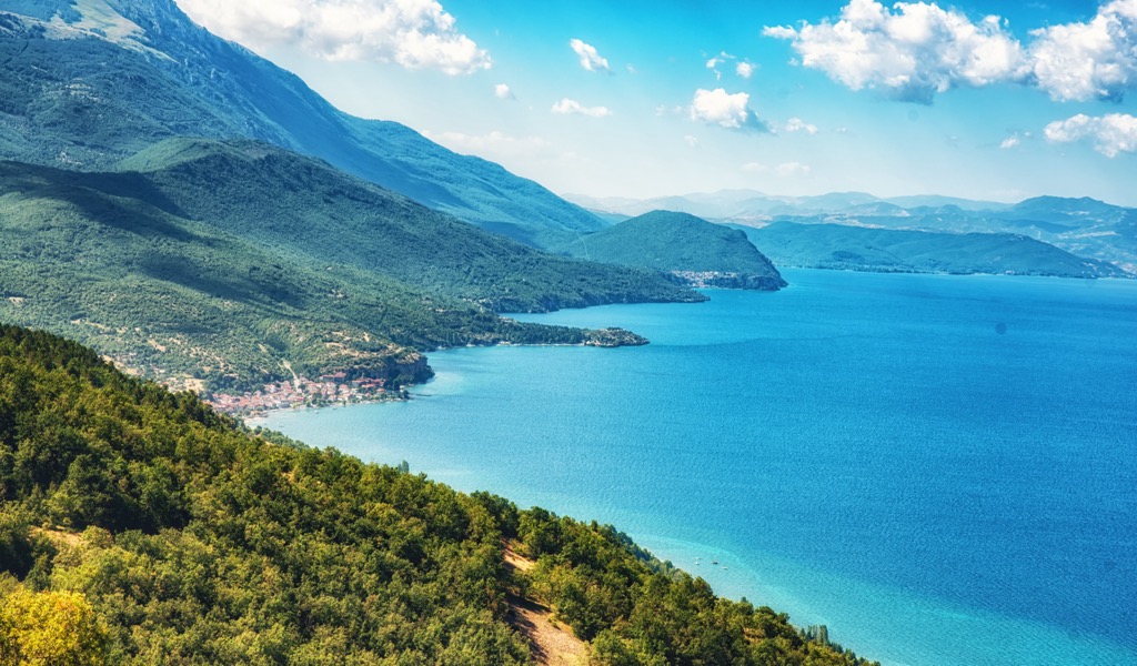
Galicica is not only exceptionally beautiful but also a unique environment, with diverse natural flora across various ecosystems. Galichica experiences a moderate continental climate influenced by the abundant water from lakes and warm sub-Mediterranean currents penetrating through the nearby mountain passes in Albania.
The flora within Galicica National Park encompasses over 800 species, including many relict and endemic forms. Eleven of these endemics, existing solely on the mountain's slopes, have been discovered so far.
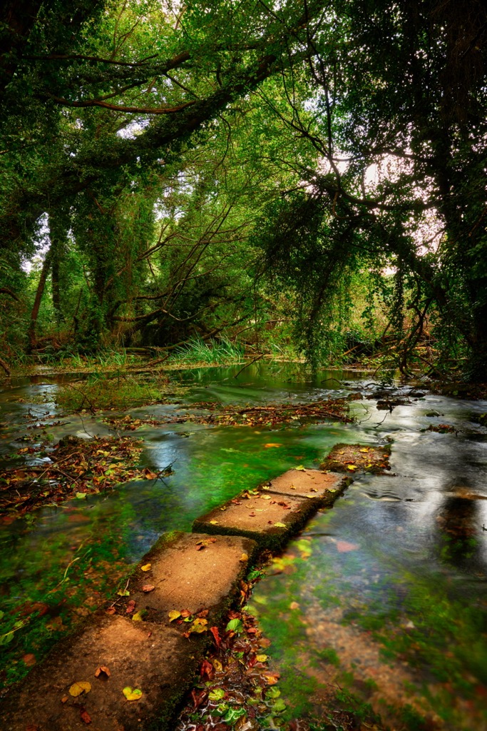
This rich variety extends beyond Macedonia, making Galicica's flora unique within a broader geographical context. The most well-known species include Scarlet Martagon Lily, Leopard's Bane, Myrtle Spurge, Spring Gentian, Alpine Saxifrage, Common Juniper, Elder-flowered Orchid, Green Spleenwort, Alpine Squill, Cvijic's Crocus.
The fauna of Galichica is remarkably diverse and abundant. The park is a regional and global biodiversity hotspot, with an exceptional variety of habitats and species within a relatively compact area. The park harbors more than 37 habitat types, 40 plant communities, over 1,600 vascular plant species, 143 species of lichenoid fungi, over 480 fungal species, and 3,279 fauna taxa.
The park hosts four globally endangered invertebrate taxa and thirteen vertebrate taxa. Additionally, some species live only within the park's boundaries, including 29 algal taxa, 12 vascular plant species, 68 invertebrate taxa, and four vertebrate taxa unique to Macedonia or the Balkans.
The park also supports many other animals, particularly within the waters of Lake Ohrid. The highest density of fauna can be found in less frequented areas of the park, exemplified by Golem Grad Island.
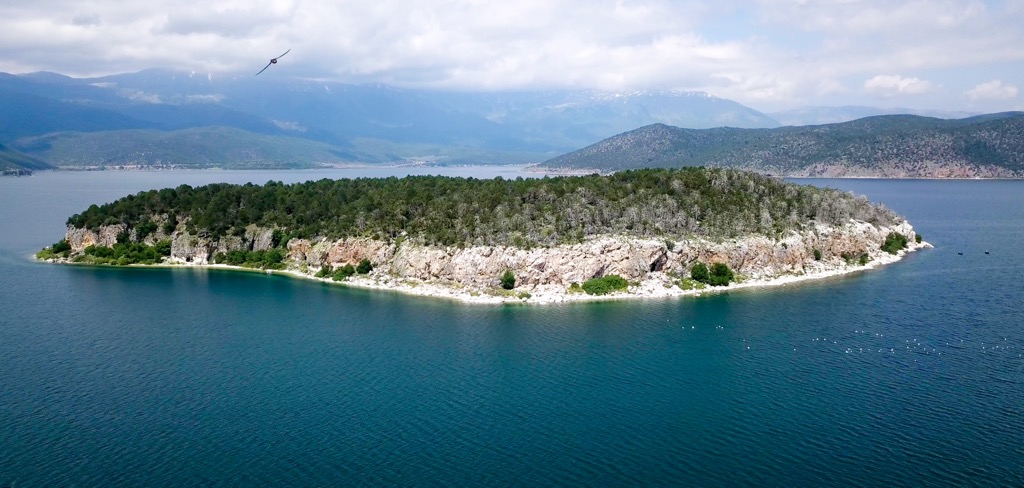
Mammal species include Brown Bear, Red Fox, European Badger, Chamois, and Balkan Snow Vole. Birds common here include Great Cormorant, Rock Partridge, Yellow-billed Chough, Dalmatian Pelican, European Nightjar, and Mute Swan.
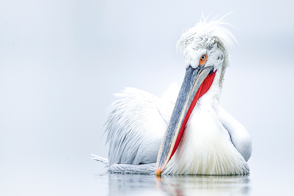
The lakes also sustain the world's largest colony of Dalmatian pelicans, with over 1,000 breeding pairs, though this number has fluctuated recently. These pelicans are one of the largest freshwater bird species globally, boasting a wingspan of up to 3 m (10 ft). Distinguished by their striking white plumage, black flight feathers, and distinctive pouch beneath their long bills, Dalmatian Pelicans are known for their social behavior and cooperative hunting strategies. These pelicans predominantly inhabit lakes, rivers, and wetlands, and their diet primarily consists of fish, making them significant indicators of the health of their aquatic habitats.
In 2022, widespread incidence of H5N1 bird flu killed as many as 60% of the first 1000 individuals who arrived at the lakes for the season. The Spirit of the Wetlands is a magnificent essay addressing the recent crisis on Lake Prespa.
“For those who visit the colonies, seeing these birds soaring on wings so large that they eclipse the sun when passing in front of it, their bayonet bills strangely archaic for such elegant fliers, a deep-time association often surfaces swiftly. It’s like watching dinosaurs.”
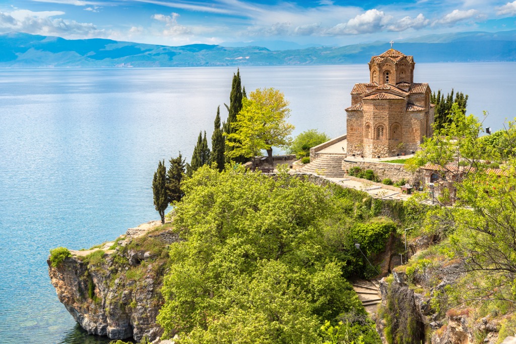
Galichica National Park boasts significant cultural and historical landmarks alongside its natural assets, compelling visitors to explore the park. The park features a diverse array of monuments, including archaeological sites, churches, monasteries, cave churches, and other historical structures.
The park's numerous cultural and historical sites include the monastery St. Naum, the church St. Bogorodica Zahumska, and archaeological sites on Golem Grad Island. Golem Grad is the sole island in the Republic of Macedonia and is accessible via transportation from the villages of Stenje and Konjsko.
Various churches and monasteries within Galicica National Park contribute to its cultural landscape. Noteworthy are monuments like the church St. Bogorodica Zaumska from 1361, renowned for its Byzantine-style architecture and significant European paintings. Conservation efforts have preserved this church, making it accessible to visitors.
Magaro (2,255 m / 7,398 ft) is one of Galicica's highest peaks. The journey begins near the Baba locality. Traverse through natural high mountain pastures, offering a glimpse into Galicica's rich biodiversity. Weather permitting, reach the summit of Magaro and be rewarded with panoramic views across the entire expanse of Ohrid and Prespa Lakes.
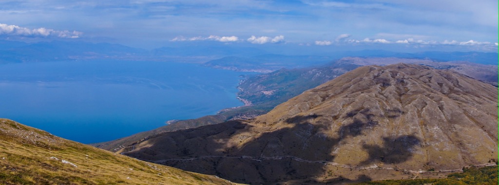
This trail leads you to the Samatska Dupka Cave and the Goga Peak (1,734 m / 5,688 ft). Head north towards the Dva Javori area and enjoy the high mountain pastures. From Asan-Dzura, the trail splits into two branches, leading you through the sprawling karst field of Suvo Pole. Hikers can ascend to the summit of Goga for breathtaking Ohrid and Prespa Lakes vistas or explore the depths of Samatska Dupka Cave.
Step back in time as you explore Golem Grad Island. Ancient houses and burial sites remain at a site dating back to the fourth century BC. The island's medieval monastery complex was once home to several churches and is still a hub of spiritual activity.
Lying in the southwestern region of Macedonia, Ohrid is a picturesque city and one of the country's premier tourist destinations. It sits majestically along the shores of Lake Ohrid, one of Europe's oldest and deepest lakes. With approximately 42,000 residents, this ancient city features a rich cultural heritage, earning it the status of a UNESCO World Heritage Site.
The city holds immense archaeological significance and has been continuously inhabited for 2,500 years. It was established around 340 BC, originating from the vision of Philip II of Macedon, the father of Alexander the Great.
The city was initially named "Ochrida," derived from the Greek "Ochrēs," meaning "bright." With the turquoise hue of the lake, the green mountains, and the stone architecture, the city remains true to its name.
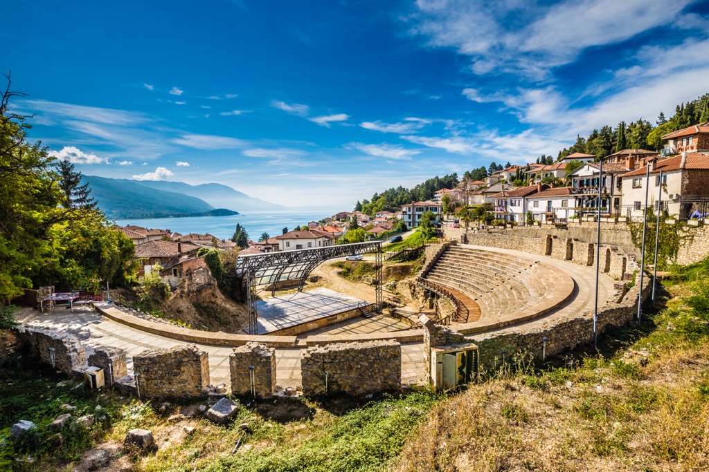
Located in the southwestern part of Macedonia, Bitola has a population of around 70,000 inhabitants. It is the second-largest city in the country and serves as a cultural and economic hub. Known as the "City of Consuls," Bitola's rich history is evident in its well-preserved Ottoman-era buildings, bustling bazaars, and grand neoclassical architecture.
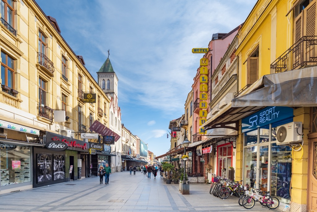
Situated in southeastern Albania, Korçë is a charming city with an approximate population of 75,000. Visitors can explore its historic Old Town, sample traditional Albanian cuisine at local taverns, or hike through the nearby Morava Mountains.
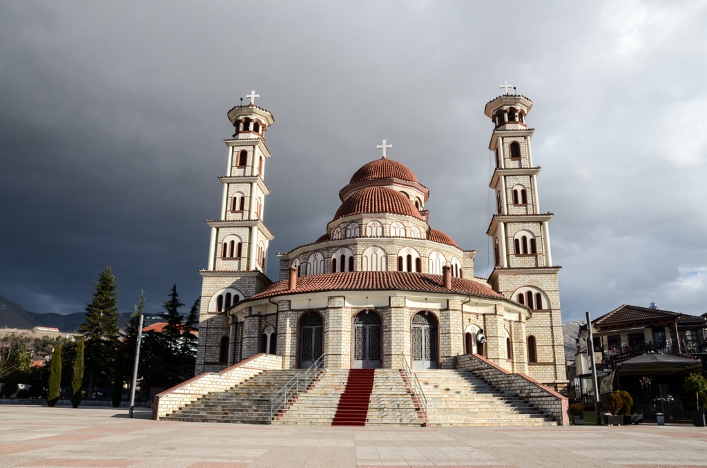
Explore National Park Galichica with the PeakVisor 3D Map and identify its summits.


