Get PeakVisor App
Sign In
Search by GPS coordinates
- Latitude
- ° ' ''
- Longitude
- ° ' ''
- Units of Length

Yes
Cancel
❤ Wishlist ×
Choose
Delete
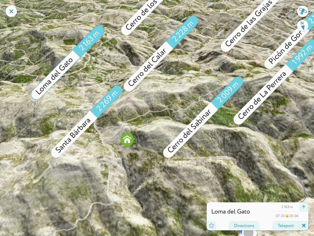
Nestled in southern Spain, lies Parque Natural Sierra de Baza (Sierra de Baza Natural Park); a stunning outdoor recreation destination known for its abundance of peaks. The park contains 182 named mountains. The highest peak and most prominent peak is Santa Bárbara standing at 2,269 m (7,444 ft) with 1155 m (3,789 ft) of prominence.
Parque Natural Sierra de Baza is situated in the southern region of Spain in the Granada province. Santa Bárbara is the tallest peak in the park, and part of the Sierra de Baza mountain range. Elevations in the Parque Natural Sierra de Baza and surrounding mountains range from around 700 m (2297 ft) up to the summit of Santa Bárbara.

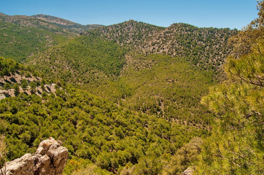
The park lies within the southern region of the Altiplano Granda, which also encompasses the most southern desert in mainland Europe. While the dry desert landscape lies just a few kilometers north, the park is distinguished by steep forested valleys that climb up to the peaks of the region.
Many of the major peaks of the park are often in the clouds, due to their sheer steepness. The quick change in elevation results in higher amounts of rainfall within the park boundaries. Because of this phenomenon the park is classified as a bioclimatic island. The park spans 53 hectares (131 acres).
Additionally, Parque Natural Sierra de Baza is located near a large number of other popular outdoor recreation areas. This includes the Sierra Nevada National Park (Parque Nacional de Sierra Nevada) to the southwest, Cabo de Gata-Níjar Natural Park (Parque Natural Cabo de Gata-Níjar) to the southeast, and the Sierras de Cazorla (Parque Natural de la Sierra de Cazorla, Segura y las Villas) to the north.
The outskirts of the park are marked by the steep and forested slopes. The central part of the park is made up primarily of the rugged limestone peaks.
The Sierra Nevada range, which the park is a part of, was formed during the Alpine Orogeny. When the African and Eurasian plates collided, millions of years ago, the mountain range began forming.

The rugged peaks that are left behind today, showcase massive amounts of erosion due to the soft limestone. The foothills of the peaks are often full of nutrient rich soil due to the leftover sediment from the mountain's formation.
Major peaks within the park include Santa Bárbara, Cerro del Calar, Loma de Elvira, and Cerro de Quintana.
The lower elevations of the park, along with the foothills of the peaks, are heavily forested. Most of the forest is made up of oak, maple, and thorny scrub trees. As elevations increase, visitors are more likely to find both Aleppo pine and black pine.
Besides the forests, the park is home to numerous species of thyme that are native to the region. Creeks and streams run throughout the park, many leading into the Baza River (Río Baza).
The park is known for its abundance of birds which include royal eagles, golden eagle, royal owls, and other birds of prey. The forested landscape is also home to deer, foxes, wild cat, badgers, and various amphibians.

Though the park is now protected from further deforestation or development, the region has been inhabited for thousands of years. Archaeological remains are found throughout the park, including paintings along Jabalcon Hill. In recent decades, the population of small villages and communities in the region have slowly begun to decline.
Parque Natural Sierra de Baza is home to numerous trails. Here are some of the top hiking areas to visit in the park:
The Barranco del Forfria is a longer hike within the park. The route totals (13.2 miles) with (3,490 ft) elevation gain. The loop style hike starts in the northern end of the park and travels south passing just below Santa Bárbara. The loop hike can also be completed as an out and back in order to reach the summit of the tallest peak in the park.

Starting in the small city of Rejano are numerous hikes. One of the more popular routes is El Cerrón. The loop hike is (7.94 miles) with (1,316 feet) elevation gain. Situated along the eastern edge of the park, the hike offers sweeping views of the rest of the forested park.
Looking for a place to stay near Parque Natural Sierra de Baza? Here are some of the best cities and villages to check out in the region:
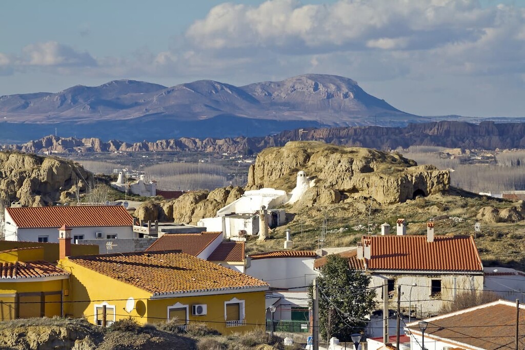
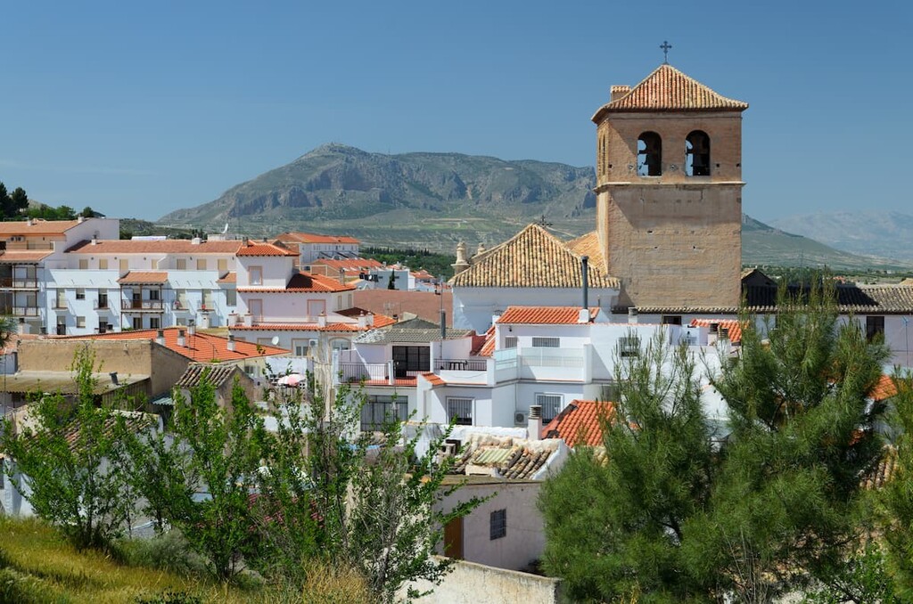
Located at the northern end of the park lies the city of Baza. The city has a population of around 22,000 and lies within the valley of the Sierra Nevada range. The town is named after the protected park which in turn was named after the iconic peaks.
The Lady of Baza, a prehistoric artifact, was discovered in the city during the 1970s. Humans have inhabited the region of Baza for thousands of years and today the small city is known for being a quaint community not far from Granada.

The city Granada is the capital of the province of Granada. The urban population is around 475,000, making it the 13th largest in Spain. Granada is surrounded by mountain ranges and sits on the Vega de Granada plain.
Granada is known for being the cultural and historical hub of the region and province, home to numerous museums and festivals. The city is also home to numerous parks including the gardens of Alhambra and Generalife, and the Federico García Lorca Park.

Explore Parque Natural Sierra de Baza with the PeakVisor 3D Map and identify its summits.


