
Scan the QR code and open PeakVisor on your phone
Parque Natural de Redes has 332 named peaks. The highest is Torres at 2,098 m. Other notable peaks include La Rapaina, Peña el Viento and Pico Cascayón.
Located in northern Spain, lies Parque Natural de Redes (Redes Natural Park); a stunning outdoor recreation destination located within the Cantabrian Mountains. The park contains 334 named mountains. The tallest peak is Torres standing at 2,098 m (ft) and the most prominent peak is Tiatordos with 531 m (ft) of prominence.
Parque Natural de Redes is situated in the northern region of Spain in the autonomous community of Asturias. The park spans 37,803 ha (93,410 acres) across northern Spain. The Cantabrian Mountains run from west to east throughout the entire park.
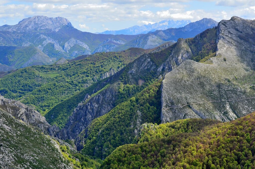
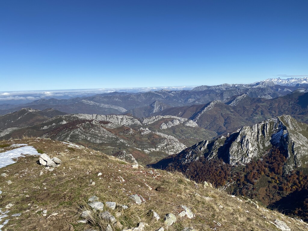
The park is characterized by its rugged peaks met with the rolling hills at lower elevations. The tallest peaks in the park mark the southern edge of the protected area while the northern region is met with vast fields, forests, and river gullies.
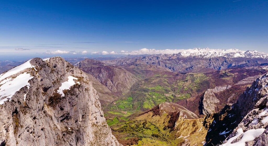
Rivers run throughout the park, providing the lower elevations with nutrient rich soil and fields ideal pastures for local communities. While most plains are at the lower elevations, Branagallones sits at an elevation of 1,215 m (ft) amidst the mountainous region.
Additionally, Parque Natural de Redes is located near a large number of other popular outdoor recreation areas. This includes the Parque Nacional de Picos de Europa (Picos de Europa National Park) directly to the south, Parque Natural de Sanabria Lago (Sanabria Lake Natural Park) to the southwest and Parque Natural Saja-Besaya (Saja-Besaya Natural Park) to the east.
Similar to much of the mountains in Spain, the Cantabrian Mountains are limestone dating back to the Carboniferous and Paleozoic time periods. The range in the park runs parallel to the Atlantic Ocean that lies to the north.
The park’s limestone composition has left behind karst formations along with a numerous networks of caves. Glacial formations, such as cirques and moraines are found throughout the park near the major peaks.
River Alba and Los Arrudos run through the park. These bodies of water, along with various others are thought to have carved the valleys amidst the limestone hills over the course of millions of years.
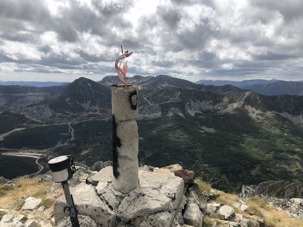
Major peaks within the park include Torres, Tiatordos, La Rapaina, and Peña el Viento.
Despite being located in the Cantabrian Mountains, over 40 percent of the park is forested. A large majority of the forest is dominated by beech and oak trees. The largest section of forest is found in the upper basins of the Nalon River. Other trees in the park include ash, yew, birch, and holly.

Intermixed throughout the park lie vast plains full of native grass and shrubs. Some of the most prominent plants in higher elevations are juniper bushes and bearberry.
The brown bear can be found within the park boundaries though they are more common in the mountainous region. Wolf populations thrive within the park due to the vast protected region that spans beyond the Parque Natural de Redes boundaries. Other common animals include chamois, deer, grouse, Egyptian vultures, and golden eagles.
Before the park, and those surrounding it, were ever established, the region was home to the Battle of Covadonga around 718 AD. Due to the significance of this battle, and the legend that Virgin Mary appeared, much of the land became protected.
The park was officially established in 1996. In 2001 the park, along with various others in the region, were declared Biosphere Reserves by UNESCO. Later in 2003 the park was declared a Special Protection Area for its bird population. In recent years discussion has been had about whether or not to combine all of the parks into one.
Today local communities utilize transhumance farming. This involves farmers moving livestock to higher elevation pastures during the summer months and down to lower elevations during the winter months.

Parque Natural de Redes is home to numerous trails. Here are some of the top hiking areas to visit in the park:
This trail is located at the northeastern section of the park. The route totals (7.7 m) with (2,742 ft) elevation gain. The loop trail takes visitors up to the summit of La Xamoca. The route travels through the chestnut tree forests in the foothills before reaching the summit and viewpoints of the rolling hills and steep peaks to the south.
The route to Pico Cogollu is (6.4 miles) with (2,447 ft) elevation gain. Though the loop trail travels through the forest, there are viewpoints throughout the surrounding hills and peaks such as El Pandu and Picu L’Arroz. Reguero los Aviaus can be seen along much of the hike.

This (8.5 miles) trail has (3,257 ft) elevation gain and takes hikers to the summit of the most prominent peak in the park. Lower elevations along the trail wind through the forest before climbing steeply up the mountain. Once above the treeline, the trail boasts vast open faces of grass covered peaks. Though not the tallest peak in the park, the route provides panoramic views of much of the park.
Looking for a place to stay near Parque Natural de Redes? Here are some of the best cities and villages to check out in the region:
Located to the northwest of the park lies the city of Oviedo. This city is the capital of Asturias and has a population of around 220,000. Oviedo is known for its rich architectural history, multiple buildings dating back to as early as 800 AD.
Many Spanish writers and artists have been inspired by this city and it is home to numerous cathedrals, museums, and theatres. Despite being slightly inland, the city has a temperate oceanic climate, perfect for visiting throughout the year.

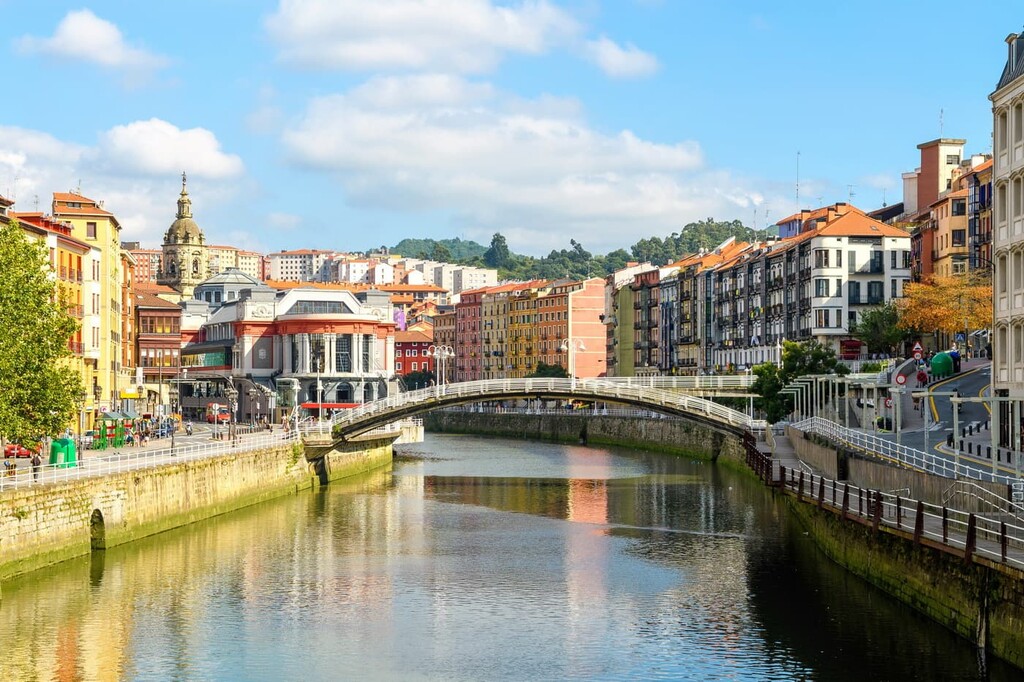
East of the park lies the city of Bilbao. With a metro population of over 1 million, the city is the largest in all of the Basque Country and northern Spain. Though the city is outside of the park, it is also home to two small mountain ranges that help give Bilbao its moderate climate.
Because Bilbao is the largest city in the region it acts as a cultural hub. Basque is spoken throughout the city and surrounding region and is home to its unique style of cuisine. The city also has over a dozen museums, many dedicated to Basque cultural and heritage.


The highest peak in Parque Natural de Redes is Torres, at 2,098 m.
Notable peaks in Parque Natural de Redes include Torres, La Rapaina, Peña el Viento, Pico Cascayón and Peña la Rapaona.


