Get PeakVisor App
Sign In
Search by GPS coordinates
- Latitude
- ° ' ''
- Longitude
- ° ' ''
- Units of Length

Yes
Cancel
❤ Wishlist ×
Choose
Delete
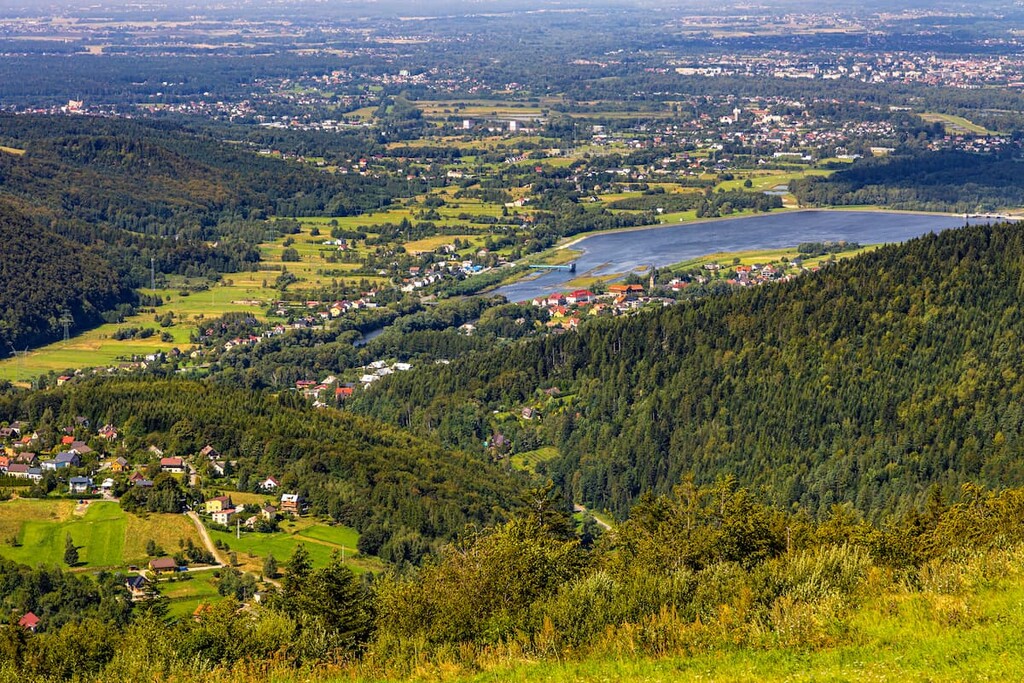
The Low Beskids Landscape Park (Polish: Park Krajobrazowy Beskidu Małego) is in southeastern Poland near the border with Slovakia. It’s a protected area that showcases the Low Beskids Mountains, a subgroup of the Carpathians. The park is characterized by gently rolling hills, extensive forests, and tranquil meadows. The landscape features Poland's rural heritage, with quaint villages and remnants of historical Lemko culture throughout the park. There are 125 named mountains in Park Krajobrazowy Beskidu Małego; the highest and most prominent is Czupel (934 m / 3,064 ft).
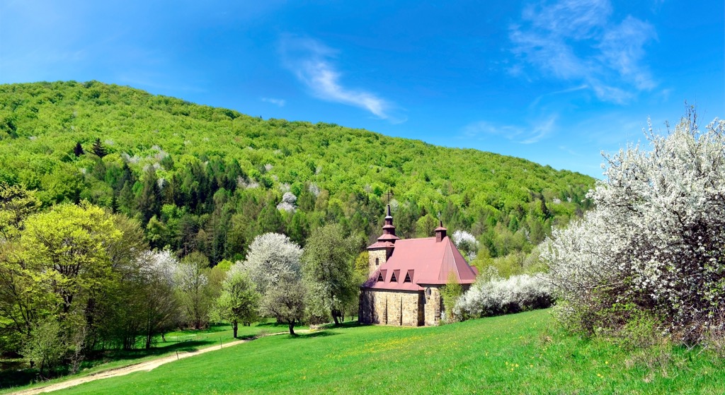
The Low Beskids are a compact mountain range about 35 km (21.7 mi) long and 12 km (7.5 mi) wide. The park covers 25,601 ha (63,261 ac) with an average elevation of around 800 m (2,625 ft). It’s the youngest park in Lesser Poland and exists within the Prešov Region, as well as Sanok and Jasło Counties.
The Soła River Gorge splits the park into two parts. The Magurka Wilkowicka is the range's western part and includes the highest peak, Czupel (933 m / 3,061 ft). The eastern part, the Łamana Skała group (also known as the Zasolskie Mountains or Beskid Kocierski), has the peak of the same name - Łamana Skała (929 m / 3,048 ft).
The range borders the Wilkowicka Gate, Makowski Beskid, Silesian Beskids, Pewelsko-Krzeszowskie Ranges, and Żywiecki Beskid. This Landscape Park is a Natura 2000 area with three nature reserves: Madohora, Szeroka, and Zasolnica.
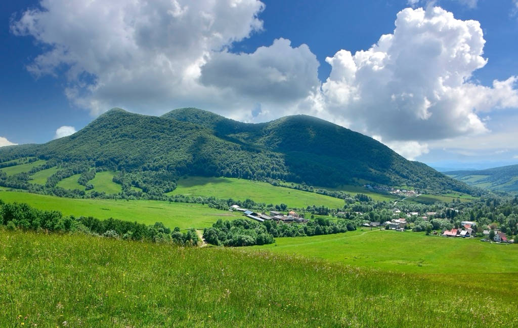
The park's geological structure was shaped during the Alpine orogeny in the Cretaceous and Paleogene periods. The Low Beskids comprise 95% thick-bedded Godula sandstones, which are fine-grained and slightly blue or green. The park features many rock formations, such as pulpits and rock towers, and caves formed mainly by landslides and tectonic processes. Notable caves include the Dziurawa Cave in Tarnawska Góra.
The Andrychow Rocks, made of ancient siliceous rocks, are a notable geological phenomenon. Other formations include Goat Rocks in Żurawnica and Wandering Stones in Smrekowica.
The area has a dense river network and many springs. The principal rivers are the Biała, Soła, and Skawa. Along the Soła River between Żywiec and Kęty, there is a system of dam reservoirs known as the Soła Cascade.
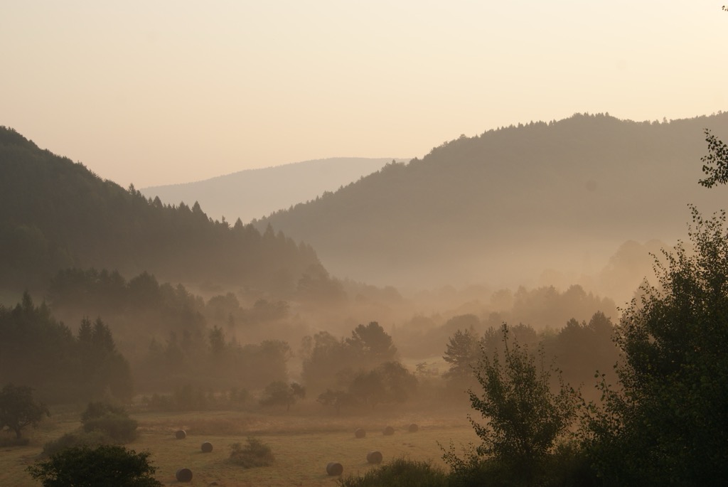
Human activity has significantly transformed the park's landscape. The foothills, up to 550 m (1,804 ft), are mainly used for farming and housing. Above 550 m (1,804 ft), dense forests with small clearings cover the range.
The most common forests are beech and lower montane forests, including the diverse Carpathian beech forests. There is no upper montane zone in Lower Beskids, with the exception of an upper montane spruce forest on Madohora's summit (913 m / 2,995 ft).
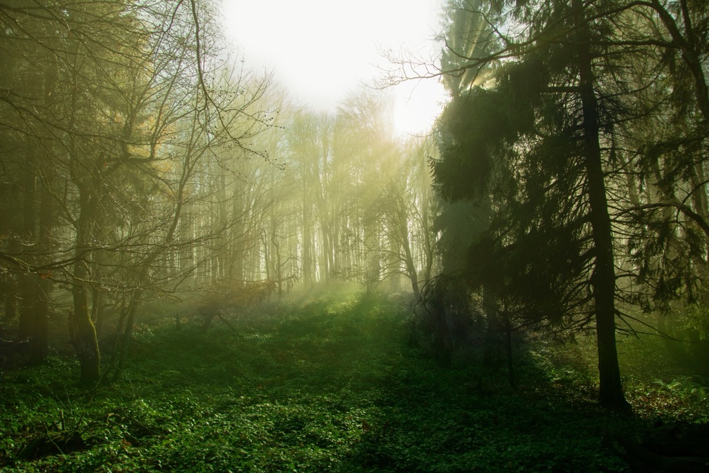
Research has found over 840 species of vascular plants, including 54 strictly protected species and 10 partially protected ones. Historically, tertiary beech forests dominated but were largely destroyed by burning and logging, leaving secondary forests of spruce, beech, and fir.
The Beskid Mountains have modest wildlife due to their small area and extensive human settlement. There are 40 mammal species, 111 breeding bird species, and about 40 fish species.
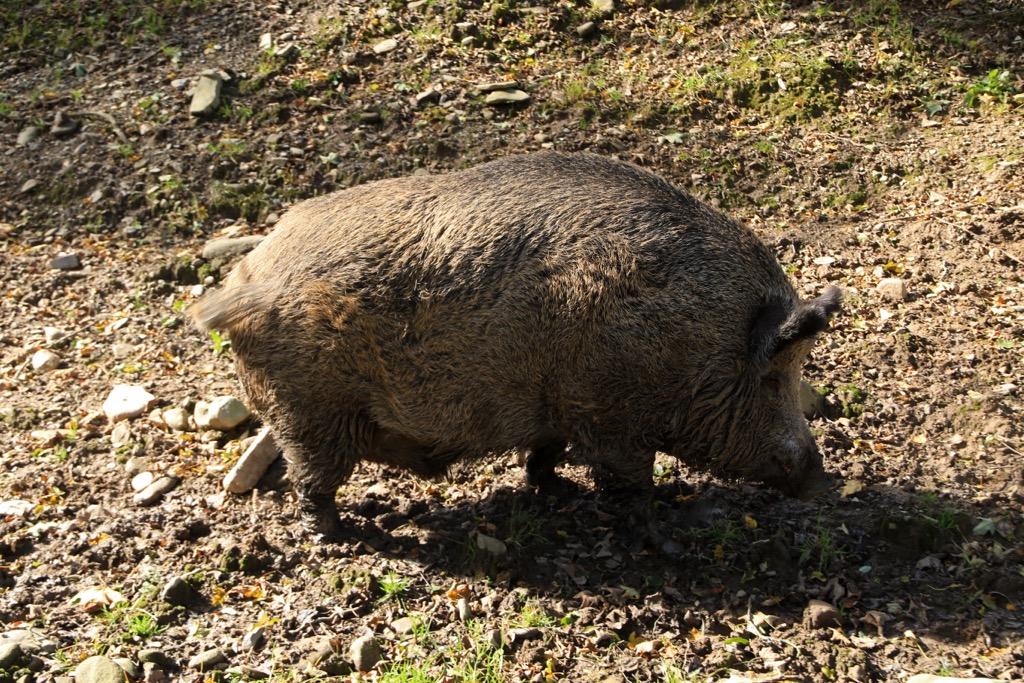
Large game disappeared as the region developed, with the last bear killed around 1870. Wolves and lynx were extirpated in the 20th century, and wild boars were nearly exterminated before World War I. Reforestation, conservation efforts, and reduced pollution are allowing animals to return. Predators like wolves, lynx, and wild boar are beginning to reappear sporadically.
Deer, foxes, badgers, otters, martens, ferrets, weasels, and ermines are common, as are bats like the late and whiskered bat.
The Beskids were settled by Polish (Krakowiacy and Sandomierz), Spiš-Germans, Wallachians, and Rusyns, now known as the Lemko. These migrations ended in the first half of the sixteenth century. Each group brought its customs and architecture, leading to differences in building styles, tools, techniques, and clothing. The area’s isolation helped preserve many traditions. The architecture in the Low Beskids is similar to that in Beskid Żywiecki and the Silesian Beskids.
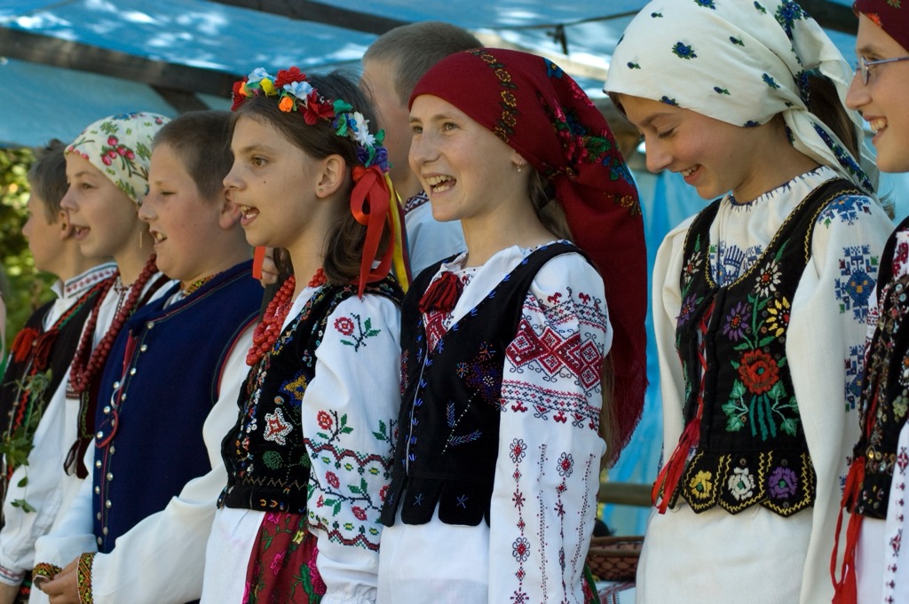
No discussion of the Low Beskids could exclude a discussion of the Lemkos. They’re an ethnic minority, one of only four living in Poland (the others are the Tatars, the Crimean Karaites, and the Roma). They likely arose from Rusyn Peoples migrating to the Low Beskids from Ukraine and Russia up through the early 16th century. Their exposure to other regional cultures eventually resulted in an ethnic group distinct from Ukraine or Russia.
About 75,000 people identifying as Lemko remain in southern Poland, northern Slovakia, and west-central Ukraine.
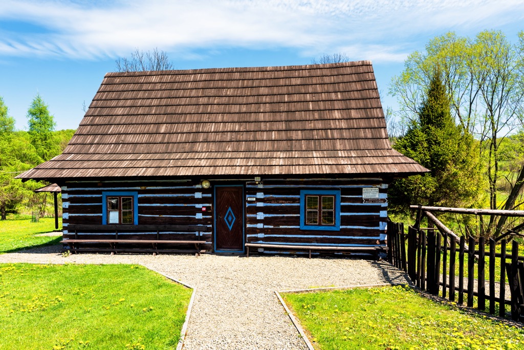
Unlike other Beskid areas, The Low Beskids rarely had typical shepherd huts, as farming was close to local villages. Instead, there were stone or wooden sheds in mountain clearings. The area has many cultural and historical monuments, such as Loreto bell towers, old cottages, historic figurines, chapels, crosses, and unique stone huts. The oldest church is St. Stanisław’s from the twelfth century in Stare Bielsko. Wooden churches still exist in Mikluszowice and Łodygowice. In Sucha Beskidzka is the Renaissance Komorowski Castle.
In the modern day, the Low Beskids are charming and full of natural beauty but unfairly overlooked due to their lower height. The area is easily accessible, with good roads and a dense hiking and cycling network. Eclectic accommodation is available in mountain huts, student cottages, and agritourism farms.
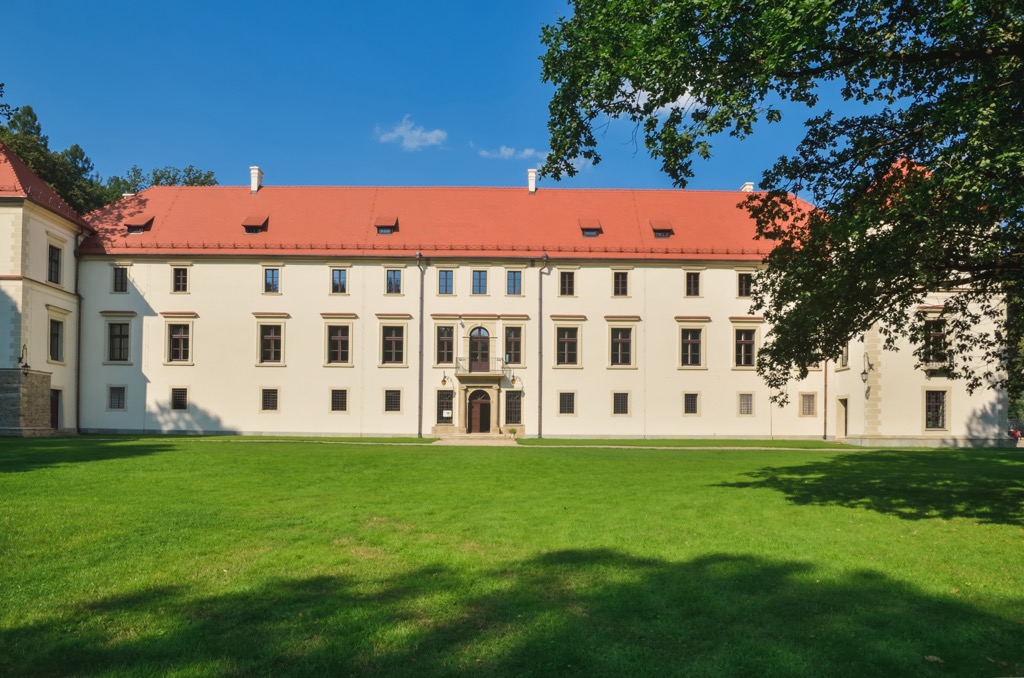
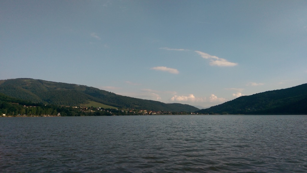
This 8 km (5 mi) trail begins in Międzybrodzie Żywieckie, with a steep but short climb, and the summit offers views of Lake Międzybrodzkie. The trail to Kiczera runs alongside the power plant on Mount Żar, offering views of the Low and Silesian Beskids. It then enters a forest, leading to a scenic clearing near the summit. Descending from Kiczera along yellow and green trails, you reach Isepnicka Pass.
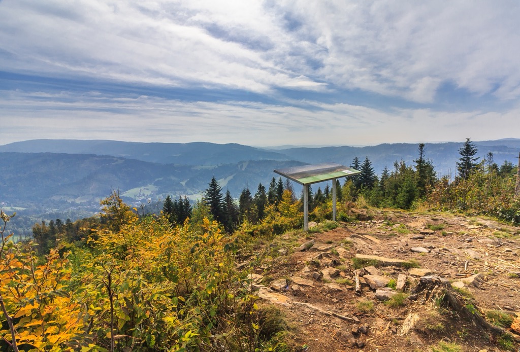
This 9 km (5.5 mi) hike is a pleasant loop to Czupel (933 m / 3,061 ft), starting and ending in Czernichów. The trail begins at the Czernichów commune office and starts out on the non-forested slopes of Suchy Wierch. The blue trail leads through the forest and joins the red trail from Międzybrodzie Bialskie, leading to Czupel's peak. Descend along blue, red, yellow, or green trails for your return. The descent includes steep sections and passes through the Koliby clearing. You can also visit the Devil's Stone, a boulder surrounded by local lore.
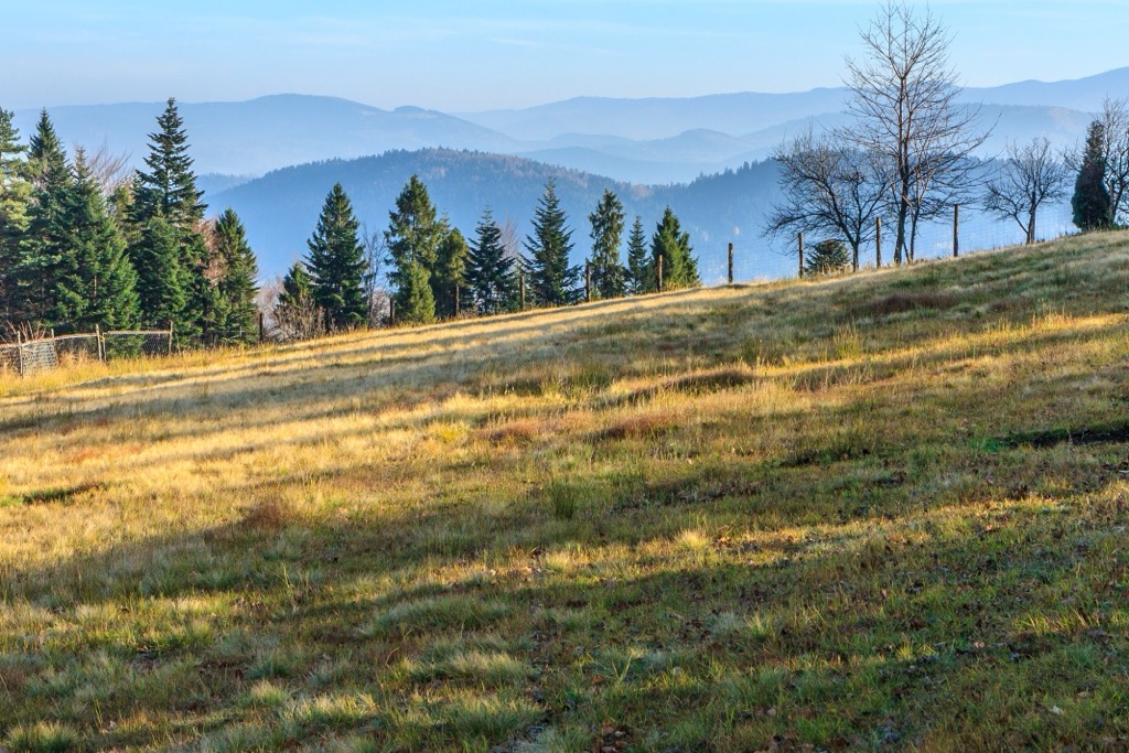
Slightly lower than Czupel, Łamana Skała (929 m / 3,047 ft) is another prominent peak in the Low Beskids. The 12 km (7 mi) route takes you from the Czarny Groń bridge to Rzyki and Praciaki. The trail features several viewpoints, a visit to two huts, and rock formations like the 7 m (23 ft) high Robber's Window.
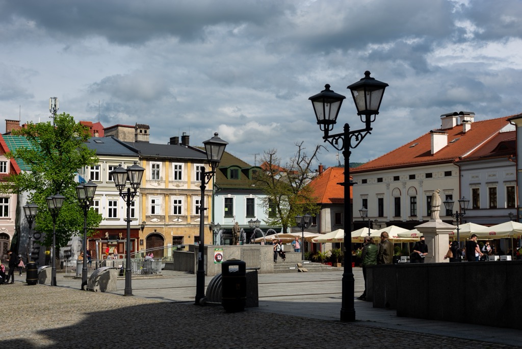
Bielsko-Biała lies in southern Poland and has a population of about 170,000. Nestled at the foothills of the Beskid Mountains, it offers a mix of nature and relatively low-key city life. It’s renowned for the Bielsko-Biała Museum and Castle.
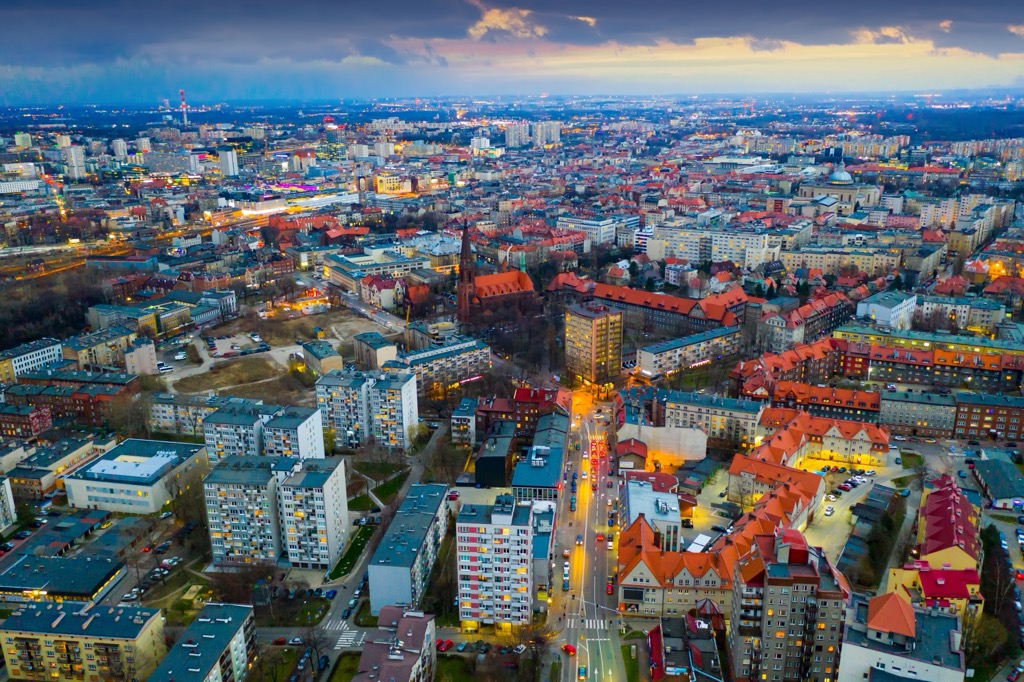
Katowice, the heart of Poland's Silesian Metropolis, has a population of around 300,000. Known for its industrial past, it now promotes landmarks like the Spodek Arena and the Silesian Museum.
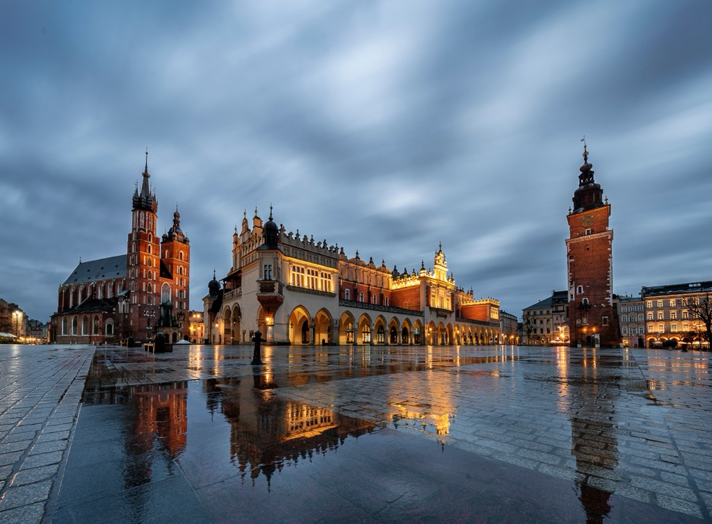
Krakow, one of Poland's oldest and most culturally significant cities, is located in the southern part of the country and is the closest major city to the Low Beskids, as well as the Tatra Mountains. Home to approximately 770,000 residents, it boasts a rich history dating back over a thousand years. It is known for its well-preserved medieval core, including the UNESCO-listed Krakow Old Town, St. Mary's Basilica, and Wawel Royal Castle.
Explore Low Beskids Landscape Park with the PeakVisor 3D Map and identify its summits.

