
Scan the QR code and open PeakVisor on your phone
Parco regionale naturale dei Monti Lucretili has 163 named peaks. The highest is Monte Pellecchia at 1,370 m. Other notable peaks include Cima Fidene, Colle Valle del Lago and Monte Gennaro.
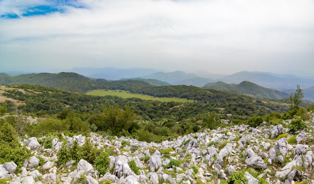
From mountain peaks, forests, and karst plateaus, there’s plenty for hikers to explore in Parco Regionale Naturale dei Monti Lucretili, which is surprisingly wild and diverse, despite its proximity to Rome. There are 163 named mountains in Parco Regionale Naturale dei Monti Lucretili. The highest and most prominent mountain is Monte Pellecchia.
Parco Regionale Naturale dei Monti Lucretili is situated in the Italian region of Lazio, in the provinces of Rieti and Rome, encompassing 12 municipalities. The park covers an area of 180 sq. km/ 70 sq. mi of largely unspoiled countryside and is part of Monti Lucretili, the southernmost offshoot of Monti Sabini, part of the Lazio Sub-Apennines.
The park lies northeast of Italy’s capital, Rome, and to the south and east is bordered by the Aniene valley and forms the eastern border of the Roman countryside.
The Monti Lucretili group consists mainly of sedimentary formations of marine origin, deposited around 200 million years ago in the ancient Tethys Sea.
The entire area of the park is part of the Umbro-Sabino transition domain, which connects the Lazio-Abruzzese carbonate platform, characterized by sediments of a shallow marine environment and the Umbro-Marchigiano domain represented by calcareous levels, from a deep-sea environment.
Geologically, the area represents a transition area between two different marine environments. The oldest formation appears as grey dolomites and dolomitic limestones that can be found in the southwestern sector of the mountain range.
Between the Upper Triassic and Lower Jurassic periods, limestone levels were sedimented, forming Massive Limestone. Later, a combination of breccias, marly limestones, and limestones formed the Corniola formation.
The Ammonite Red Formation contains limestone-marly sediments and clay marls of a pelagic environment, containing ancient mollusk fossils such as ammonites and lamellibranchs, and was formed in the Lower Jurassic period.
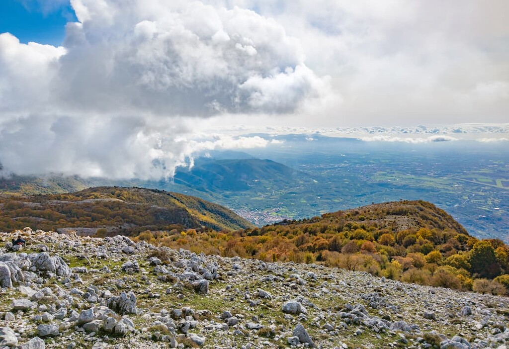
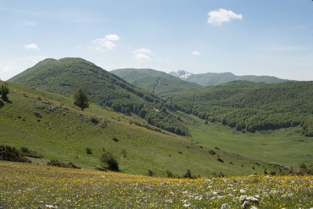
The park’s pre-Apennine landscape and proximity to the sea give it a rich biodiversity and a variety of microclimates. Low mountains alternate with karstic plateaus, and grazing lands to provide a wealth of environments for hikers to explore.
Environmental conditions together with human influence have shaped the landscape and forest areas of the park, changing the original terrain.
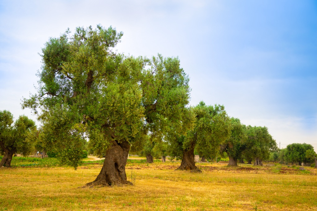
Southwest of Monte Gennaro, cultivated orchards and olive groves grow up to 400 m/1,300 ft, while higher up the slopes you can find mixed woodlands of Mediterranean and Balkan species such as the Judas tree and oriental hornbeam thanks to the area’s sunny exposition.
Higher up the slopes and in the more humid valleys, mixed deciduous woodlands grow, and above 900 m/2,950 ft mixed beech forests thrive with beech trees and mountain maple, typical of the Apennine mountains.
Above 1,000 m/3,280 ft, the woodlands peter out into meadows populated with botanical species such as the stemless carline thistle and Iris sabina, endemic to this part of the Apennines, as well as around 60 different kinds of flowering orchids.
Similarly to the flora, the park’s fauna has been influenced by human activity over the years, particularly through hunting and millenary activity, which has changed the local environment. Despite this, Parco Regionale Naturale dei Monti Lucretili preserves some interesting fauna within its boundaries.
Rocky crags have lent themselves well to bird species such as the golden eagle, with a pair often seen circling the skies over the mountaintops and nesting in the area.
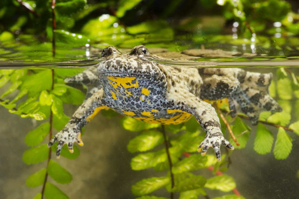
Other bird species such as the partridge have found refuge within the park’s mountain pastures, and mammals including martens have made their home within the mature forests. While the park’s waterways provide the perfect environment for local species such as the spectacled salamander, yellow-bellied toad, and the dipper.
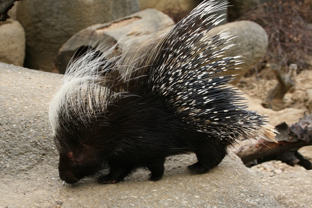
Wolves occasionally frequent the park, straying as far as the hills overlooking the Tyrrhenian plain. While the low woodlands are home to populations of badgers, wild boar, and porcupines.
Human activity in Parco Regionale Naturale dei Monti Lucretili dates back to prehistoric times, with lithic artifacts found in several sites within the park. The area remained inhabited from this point onwards with evidence of remains from the Bronze Age to the Iron Age.
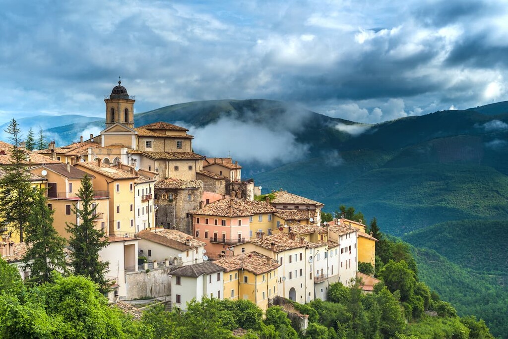
Ancient Roman remains are found at the foot of Castiglione, including a villa said to belong to the Ancient Roman poet, Horace. Many churches in the area date back to the middle ages, as well as some now-abandoned villages, including Castiglione, Montefalco, Monteverde, Poggio Runci, Saracinesco, and others which have now been reduced to ruin.
Today, you can immerse yourself in cultural activities such as the Sagra delle Cerase in Palombara, which includes a parade and several events, taking place on the first or second Sunday in June. Corpus Domini is also celebrated in June in Poggio Moiano, with bursts of colorful flowers.
There are plenty of hiking opportunities in Parco Regionale Naturale dei Monti Lucretili, with around 200 km /125 mi of footpaths to discover. All paths are signposted with white and red markings and arrows indicating the paths' direction, including an estimate of the time it takes to reach various destinations.
Several multi-day itineraries cross the boundaries of the park, allowing hikers to follow along some of these great routes, crossing through different environments and interesting cultural and environmental points of interest in the park and surrounding area. Whether you’re following in the footsteps of pilgrims or the footprints of wolves, here are some of the best long hikes that cross through the park.
Designed for beginners and experienced hikers alike, this path is open to anyone who wants to have a mindful experience immersed in nature. The route leaves Rome and heads through historic valleys, woodlands, and local mountains.
Perfect for slowing down and experiencing the surrounding nature, the path unites different protected areas between the city of L’Aquila in Abruzzo and Rome, allowing walkers to experience the area’s cultural, environmental, and religious heritage.
This route can be taken from either La Verna or Rome to Assisi and connects important places from the life of St. Francis of Assisi. The southern route from Rome passes through the park, stretching 247 km/154 mi across 14 stages until it reaches Assisi.
The path runs along the ancient lands of the Sabines and Romans, passing through medieval villages, and joining the ancient Salt and Oil Road (Via del Sale e dell’Olio), rich in history, forests, and biodiversity.
Il Sentiero Coleman (The Coleman Trail)The Coleman Trail is a multi-day hike created in memory of a four-day walk through the Simbruini mountains by landscape painter Enrico Coleman in 1881. It’s over 100 km /62 mi and starts from Tivoli, connecting Parco Regionale Naturale dei Monti Lucretili with Parco Naturale Regionale dei Monti Simbruini.

The route is a tribute to the painter who described the beauty of these mountains when walking with notebook and pencil, sketching the local characters, villages, and surrounding countryside, and taking notes of what he saw.
A 14-stage journey across Lazio and Abruzzo, the way of the wolves follows in the footsteps of the wolves of the Apennine mountains. Starting in Tivoli, the route travels through Parco Regionale Naturale dei Monti Lucretili, Parco Naturale Regionale dei Monti Simbruini, and Parco Nazionale di Abruzzo, Lazio e Molise, ending in San Donato in Valle di Comino.
Each stage of the journey is roughly 15 km/9 mi, passing through the Roman countryside, the plains of the Tiber, karst plateaus, mixed woodland, peaks, and pastures.

Starting in Umbria and running through Lazio’s interior until the border with Campania, the Way of St. Benedict crosses through the heart of Italy. 310 km/192 mi of footpath is divided into 16 stages along paths and secondary roads, with an average daily length of around 20 km/12 mi. The bike route is 340 km/211 mi and mostly follows the same paths as the walking route and is divided into seven stages.
A great way to immerse yourself in the park’s surroundings is to stay in any one of the nearby villages in a local farm stay, guesthouse, hotel, or B&B for an authentic insight into life in the surrounding area. However, if you’re short on time or want something a bit more lively, here are some of the main cities near the park to use as a base when planning a visit:
Just over an hour’s drive from Parco Regionale Naturale dei Monti Lucretili, Rome is the perfect place to base your stay. The city will keep you busy with its incredible ancient sites such as the Pantheon, Roman Forum, and Colosseum, to name a few. Soak up the culture while strolling around picture-perfect streets, stumbling upon beautiful piazzas, and sampling the local cuisine.

Or head out of the city for a bit of peace and quiet in the stunning Roman countryside. You can reach the park by either train or car and can combine a visit to the park with trips to other nearby parks such as Parco Naturale Regionale dei Monti Simbruini to experience the diversity of this beautiful countryside. Rome is well-connected with all major Italian cities by train and welcomes international flights at its Fiumicino airport.
Located just outside of Rome, to the northeast of the city, Tivoli is another nearby option. Visit Hadrian’s villa and the magical gardens of Villa d’Este and experience some of the town’s long history with ancient Roman aqueducts and temples, a medieval castle, and plenty of churches.
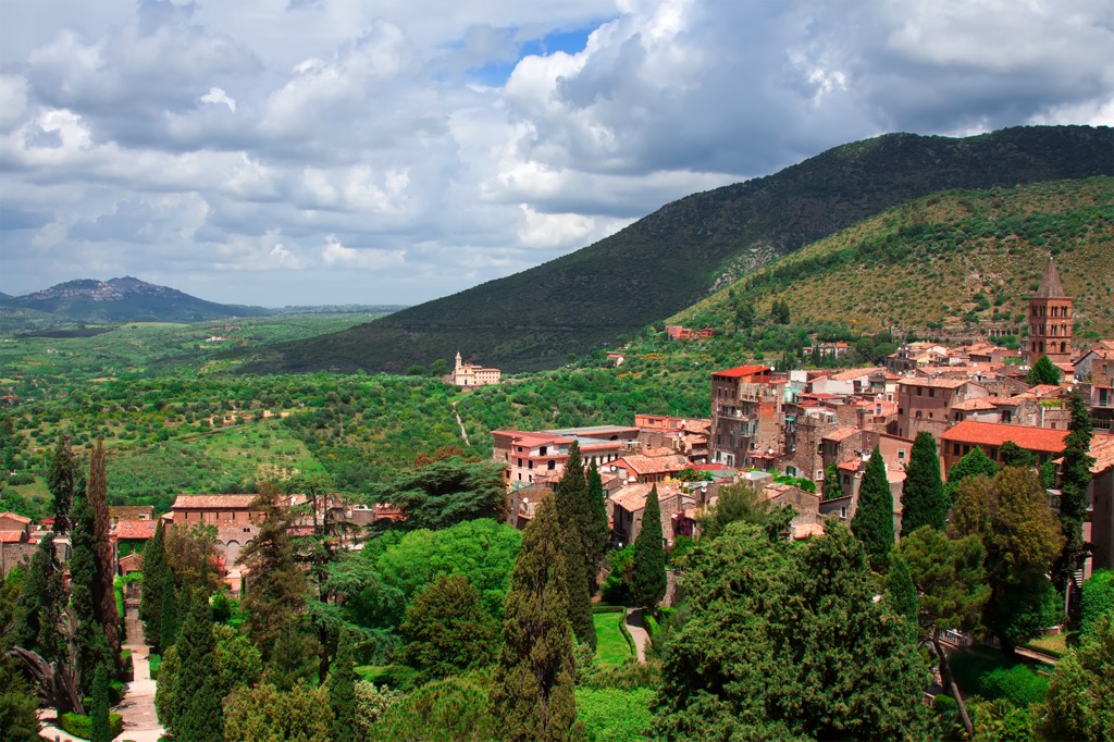
From Tivoli, you can reach the park by car in under an hour or a couple of hours by train. It’s also a great base to visit nearby Parco Naturale Regionale dei Monti Simbruini.


The highest peak in Parco regionale naturale dei Monti Lucretili is Monte Pellecchia, at 1,370 m.
Notable peaks in Parco regionale naturale dei Monti Lucretili include Monte Pellecchia, Cima Fidene, Colle Valle del Lago, Monte Gennaro and Colle Acetore.


