Get PeakVisor App
Sign In
Search by GPS coordinates
- Latitude
- ° ' ''
- Longitude
- ° ' ''
- Units of Length

Yes
Cancel
❤ Wishlist ×
Choose
Delete
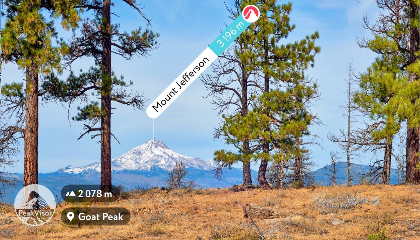
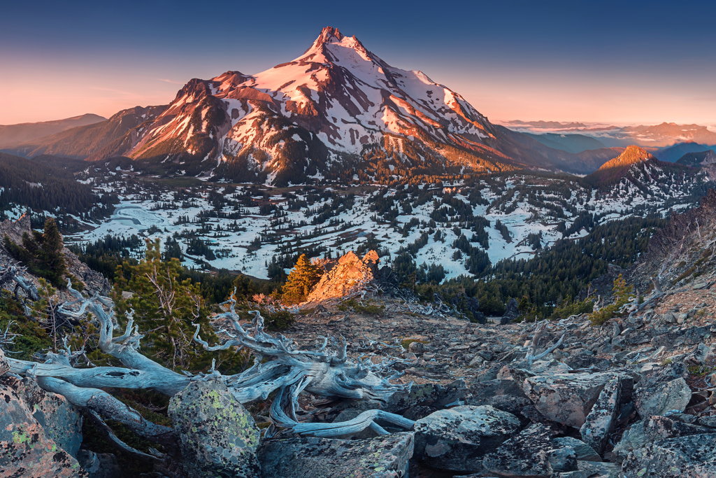
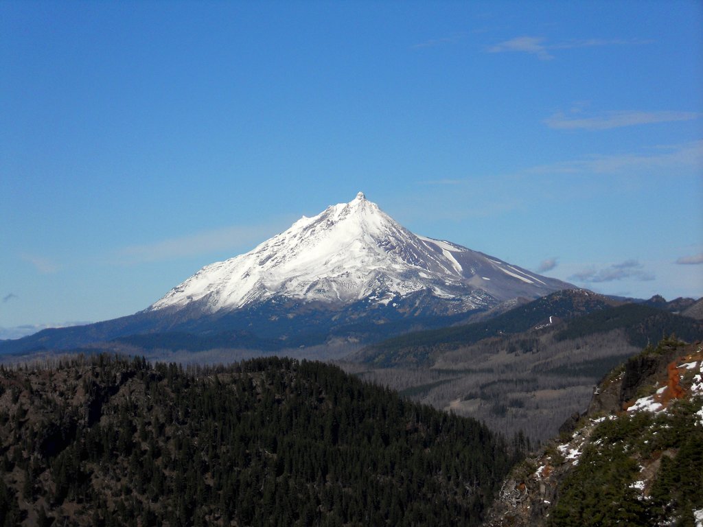
There are 31 named mountains in Mount Jefferson Wilderness. The highest and the most prominent mountain is Mount Jefferson standing at 10,497 feet. Mount Jefferson Wilderness is located in the state of Oregon. The area covers 104,523 total acres and boasts 163 miles of trails throughout the wilderness. The wilderness is located within the High Cascades of the state of Oregon. Forty miles of the Pacific Crest Trail run through the wilderness before heading south towards Mount Washington Wilderness.
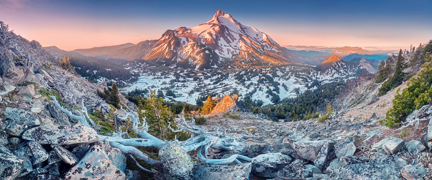
Mount Jefferson is the second tallest peak within Oregon, second only to Mount Hood that stands at 11,250 feet. The vegetation in the wilderness consists predominantly of Douglas-fir, silver, fir, subalpine fir, mountain hemlock, along with various species of pine and cedar trees. There are five distinct glaciers on Mount Jefferson: Whitewater, Waldo, Milk Creek, Russell and Jefferson park. The wilderness is also abundant with alpine meadows and over 150 lakes, many that are stocked with trout.
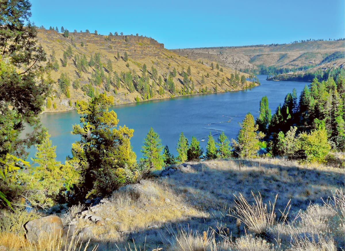
This 5.5-mile out and back hike is rated as easy as it gently strolls along the Metolius River. Starting at the Lower Canyon Creek Campground, this trail passes gushing riverbanks and rapids. The trail follows the river downstream before reaching the Wizard Falls Fish Hatchery at 2.7 miles. Within only 100 feet of total elevation gain, this hike is perfect for all skill levels while still providing views of wildflowers, old growth forests, and of course the clear flowing waters of the Metolius River.
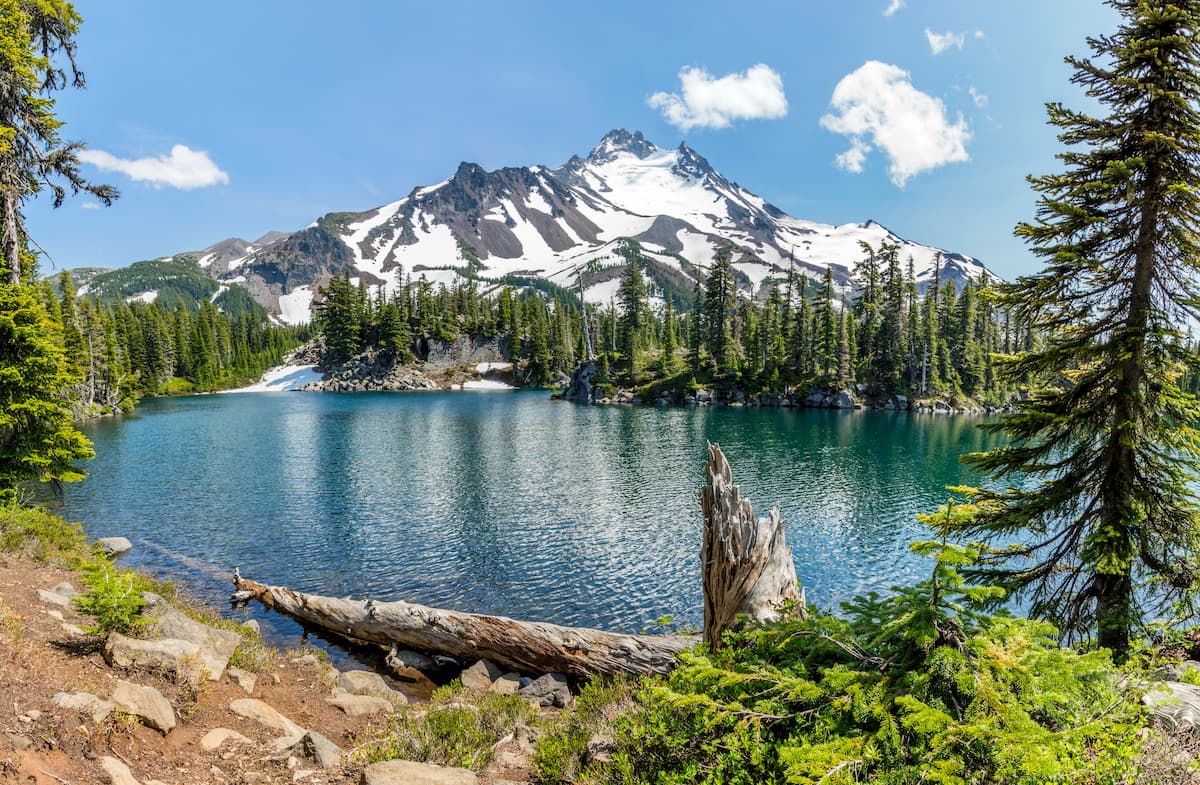
This 11.2-mile out and back hike is one of the most beautiful within Mount Jefferson Wilderness. With over 2,500 feet of climbing many hikers choose to spend the night once they reach Scout Lake. From the lake you will have breathtaking views of both Mount Jefferson (from the north shore) and Park Butte (from the south shore). The lake itself has sandy shores and is quite deep, perfect for a mid-hike swim. Campfires are not allowed in the area so if you do camp overnight be sure to bring a stove and obtain the proper permits. Due to the high elevation of the lake and surrounding areas, the snow coverage does not usually thaw until the middle of July. Be sure to check trip reports prior to leaving to ensure the trail is open.
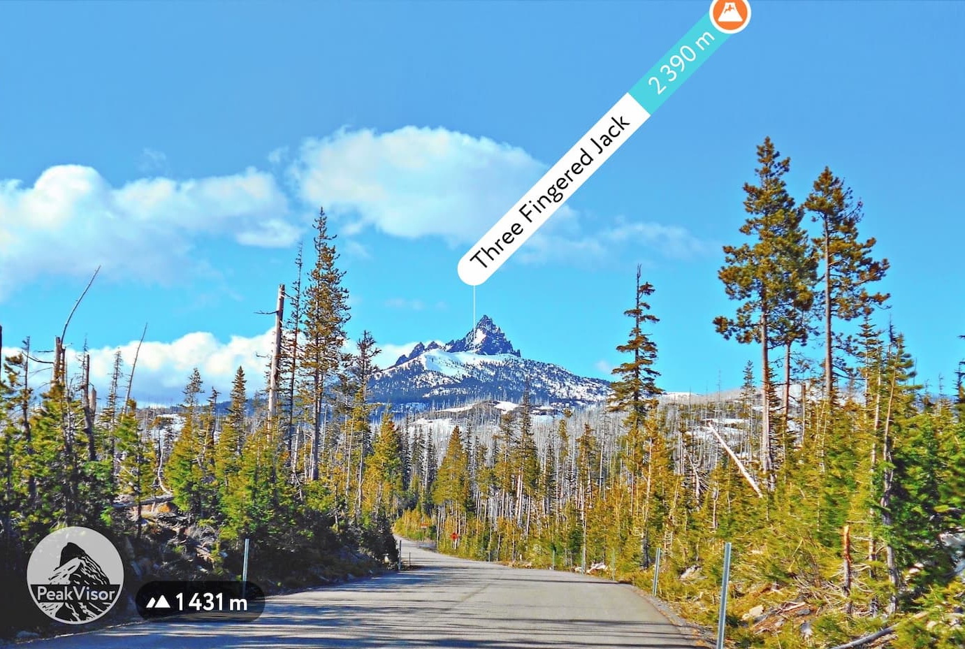
A popular multi-day hike within the wilderness, Three Fingered Jack Loop is 21.5-miles with roughly 3,000 feet of elevation gain. The trail starts at the Pacific Crest Trailhead at Santiam Pass. The beginning of the trail is loose, dry and sandy before you reach the forest where it becomes more compact. Be sure to look for mountain goats throughout the entire loop. Throughout the hike you’ll pass Square Lake, Booth Lake, and Wasco Lake. Take in the views of Maxwell Butte, Duffy Butte, Mount Jefferson, and of course, Three Fingered Jack. While many hikers complete the loop in two days, experienced trail runners and hikers can complete it in one day.
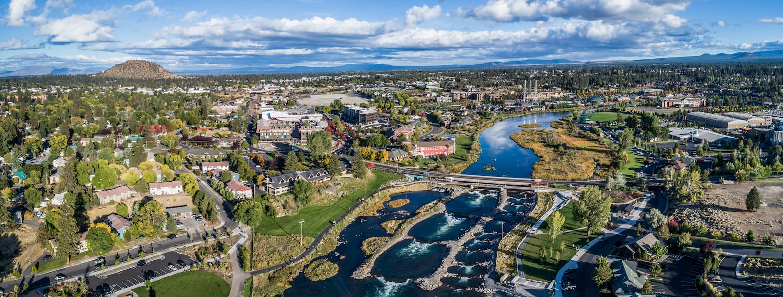
Bend is the largest city located in eastern Oregon with a population of nearly 100,000. The city is located on the Deschutes River and is known for being an outdoor paradise. To the west lies the lake and peaks of the Cascade Mountains, along with Mount Bachelor Ski Resort, while a trail in the city leads to the top of Pilot Butte. To the south lies the High Desert Museum and Newberry National Volcanic Monument. Just north of town is one of the state’s most iconic rock-climbing locations, Smith Rock State Park. As a whole, the city is a mecca for trail running, skiing, mountain biking, hiking, rock climbing, and even surfing in the river. Besides the abundance of outdoor activities, Bend is known for its numerous breweries and restaurants.
Explore Mount Jefferson Wilderness with the PeakVisor 3D Map and identify its summits.


ultra
glacier
volcano
oregon-9000ers
cascade-range-9000ers
chemeketan-18-nw
cascade-volcanoes-pin
mazamas-cascades-award
mazamas-16-nw-award
oregon-ultras
chemeketan-18-nw
cascade-volcanoes-pin
mazamas-cascades-award
mazamas-16-nw-award
ultra
glacier
volcano
oregon-9000ers
cascade-range-9000ers
chemeketan-18-nw
cascade-volcanoes-pin
mazamas-cascades-award
mazamas-16-nw-award
oregon-ultras
chemeketan-18-nw
cascade-volcanoes-pin
mazamas-cascades-award
mazamas-16-nw-award
