
Scan the QR code and open PeakVisor on your phone
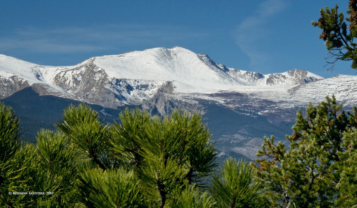
The Mount Evans Wilderness Area has 19 named mountains, with the highest and most prominent mountain being Mount Evans itself. Everything in this wilderness is subsidiary to this massive mountain, which in turn can be seen from almost everywhere in and around the wilderness. This 74,401-acre wilderness is both near and dear to the greater Denver area - its sprawling namesake mountain a dominating feature of the skyline west of Denver. Its profile is not easily mistaken for any other mountain visible from most of the metropolitan area. Mount Evans is one of three fourteeners that can be seen from Denver (the other two, not in the wilderness, are Pikes Peak and Longs Peak). There is one other fourteener - Mount Bierstadt - located in this wilderness, which occupies parts of Pike and Arapaho National Forests, as well as Clear Creek and Park Counties.
The area received its wilderness designation in 1980 pursuant to the Wilderness Act of 1964. Wilderness is best defined by the author of the Wilderness Act, Howard Zahnister: "A wilderness, in contrast with those areas where man and his own works dominate the landscape, is hereby recognized as an area where the earth and its community of life are untrammeled by man, where man himself is a visitor who does not remain." There are several government agencies that administer the 765 wilderness areas in the United States - U.S. Forest Service, U.S. National Park Service, U.S. Fish and Wildlife Service and the U.S Bureau of Land Management. As of 2016, this encompassed a total of 109,129,657 acres, or an area larger than the state of California.
When viewed on a map, one will notice a deep indentation into the overall boundary of the wilderness. This is due to the fact that a paved road climbs to the top of Mount Evans - well almost to the top. From the parking area at the top, it is still about a 125-foot scramble to reach the actual summit. That fact aside, this is nevertheless the highest paved highway in North America. Of course, people who have done this short hike from their car may try to claim to have climbed a fourteener - OK, but not officially.
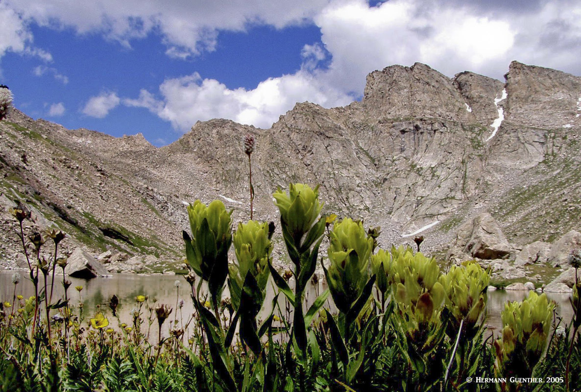
Much of the Mount Evans Wilderness lies above timberline. It contains notable biological features, including not only alpine tundra but arctic tundra as well, one of only a few places south of the Arctic Circle where such tundra is found. This tundra is characterized by its moisture because of countless small pools of water. By contrast, most tundra in Colorado, which is of the alpine variety, tends to be very dry and brittle when it is not covered by snow, thus making it very fragile. Another unusual natural feature is the Mount Goliath Natural Area which is known for a prime stand of Bristlecone Pines - these gnarly trees can live up to 2,000 years and their twisted trunks are evidence of their bitter struggle for survival against the elements. Their growth rate is microscopic. Despite the popularity of this area, animals that are usually less common in other areas of the state can be frequently seen here, even right along the summit road. A herd of Bighorn Sheep live here and Mountain Goats are a common sight right beside the road.
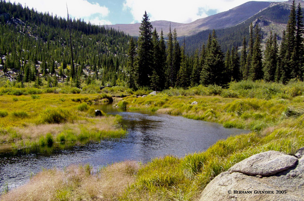
Upper Bear Creek - Mount Evans Wilderness
Being so close to a metro area of two million people, it goes without saying that the Mount Evans Wilderness attracts its more-than-fair share of recreation. Easy accessibility on major highways ensures that this area gets plenty of visitors, especially on summer weekends. There are four major trailheads that provide access into most of the wilderness, including the two fourteeners. Three of these trailheads are located on paved roads, the fourth being at the end of a rough gravel road that is closed for all but about three months of the year. Besides these major trailheads, there are a few others that are more remote and which themselves do not lead to the major destinations, but merely connect with other trails that do.
Guanella Pass Trailhead - One glance at the Guanella Pass summit area on Google Earth quickly conveys the message that this trailhead, at an elevation of 11,670 feet, is ultra popular. With the recent completion of the construction improvements to the road from the little town of Grant on U.S. Highway 285 to Georgetown on Interstate Highway 70, getting to this trailhead is no longer a challenge. It is now paved the entire way. And, as a result of the roadway improvements, they built two huge parking areas up there - they are not nearly big enough. The number of cars parked along the road can easily exceed the number parked in the two lots. And this is all due to the most popular fourteener in Colorado - Mount Bierstadt. By most accounts, it is the most accessible and easiest of them all.
It wasn't like that 35 years ago, when I first climbed it. Back then, aside from the difficult drive on a rough gravel road, it was a daunting challenge to get through the first mile or so of the trail - the infamous "Bierstadt Willows". Hikers had to fight their way through this dense growth of underbrush and swampy ground to just get to the base of the mountain. This was no joke; it likely discouraged thousands of would-be "peak baggers" from taking on this otherwise "gentle giant" of a mountain, which didn't even have a maintained trail for the rest of the way up at that time. Not so anymore. A well-built boardwalk now penetrates the entire area and connects to a very fine and comfortable trail all the way to the summit cone, which presents nothing more challenging than a mild rock scramble to the top. Thus the most popular fourteener in the state. A round trip of seven miles and about 2,750 feet of total elevation gain and you can claim that you have conquered a fourteener - and more and more people are doing it. This is also a mountain that can serve as a training ground for winter mountaineering. The Sawtooth Ridge that connects Mount Bierstadt to Mount Evans is an amazing sight from most of the trail.
Mount Bierstadt (r) and the Sawtooth Ridge, from Guanella Pass
A much easier hike from this trailhead, for those who are not up to the challenge of a fourteener, is to go to the two Square Top Lakes - perched on the east-facing slope of their namesake mountain. This round-trip hike of less than five miles along the South Park Trail, and a total elevation gain of just over 1,000 feet, crosses open tundra the whole way - the maximum elevation reached is 12,272 feet. As with Mount Bierstadt, it is important to be mindful of the weather. Summer afternoon thunderstorms are just as much of a risk factor here as on the slopes of Bierstadt.
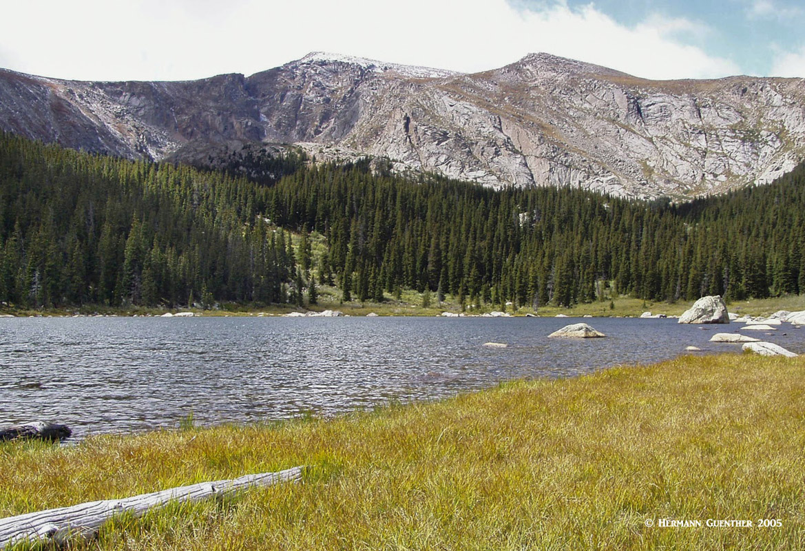
Echo Lake Trailhead - This well-positioned trailhead can be reached year-round on State Highway 103 from either Idaho Springs or the town of Evergreen. Echo Lake is itself an alpine gem and a popular recreation area for fishing, picnicking and camping. While the highway may be open year-round, the trails starting from here may not be quite so, depending on a hiker's conditioning and experience in winter mountaineering. This is also where the 14-mile Mount Evans Summit Road begins. This road is easily driven in any private vehicle when it is open in the summer months - by those who are not intimidated by mountain driving. There is a recreation fee that must be paid to drive this road (although interagency annual and senior passes are accepted). There is an interesting quirk about this road - it is a state highway (Colorado 5) and state highways cannot charge a user fee to drive on them. So one can make the argument that they only want to drive the road without stopping and parking to see the attractions along the way. That may be true, but that means you would have to stay only within the highway's right-of-way limits all the way up and back. What's the point in that? Not too many people do that or even know about that.
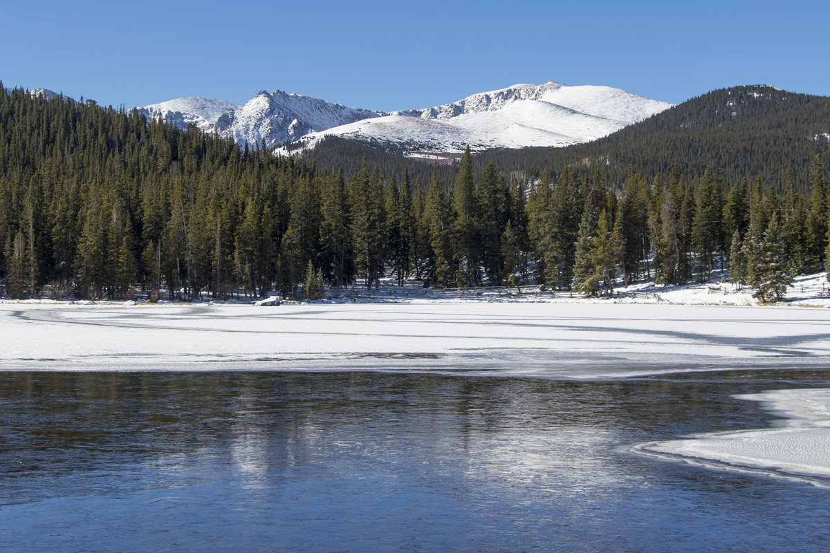
Echo Lake and Mount Evans
An awesome hike, about ten miles round trip, to take into the wilderness from Echo Lake is the trail to the two Chicago Lakes. The first lake is surrounded by willows and marshland and is itself not a particularly attractive destination. It is the second, higher lake that is the real attraction here. It does take a bit more effort to get to it, which may be why many hikers simply stop at the first lake. It is totally worth the extra effort to reach the second lake. It is located in a deep glacial basin surrounded on three sides by steep terrain. Adventurous hikers can continue past the upper lake to Summit Lake (which is much more easily reached by car along the Mount Evans Road), and further along, Mount Evans itself can be climbed from here. One word of caution - on the return to Echo Lake, you must go uphill for some distance, which can be a little tiring since you will be hiking in the afternoon sun.
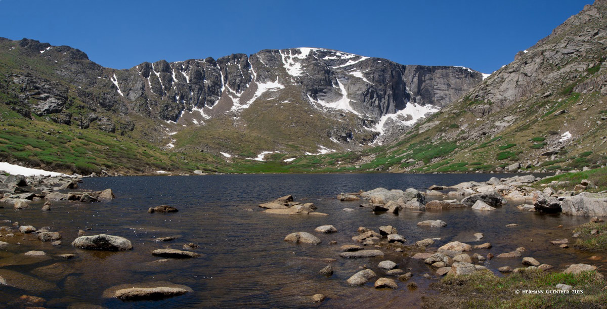
Upper Chicago Lake and Mount Evans
Another trail that starts here is the one leading to Lincoln Lake, which lies more than five miles from the trailhead. While its elevation is only about 1,000 feet higher than the trailhead, the hike involves a significant elevation drop after the first mile, which must then be regained at the end of the hike. There is another way to reach Lincoln Lake, but that involves seasonal access restrictions (see below).
Lincoln Lake from Mount Evans Road
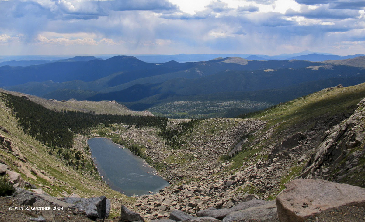
Camp Rock Trailhead - This trailhead provides trail access deep into the Mount Evans Wilderness. It is not one of the most popular trailheads for the reason that it is located within the Mount Evans Wildlife Area. This means that public access is prohibited from the day after Labor Day (first Monday in September) until June 14 the following year. This precludes hiking or camping there for a significant part of the prime hiking season. Even the rough gravel road leading to the campground and trailhead passes through the closure area. Nevertheless, there is some wonderful hiking to be experienced here during much of the summer. Two trails begin here - the Beartrack Lakes Trail and the Beaver Meadows Trail - which can be combined into a delightful loop (together with part of the Cub Creek Trail) that passes through an old burn area that has shown significant signs of recovery. For those wanting a more strenuous hike, the Beartrack Lakes Trail goes to the lakes of the same name, where some good backcountry camping sites can be found. A side trail also connects to the Roosevelt Lakes at a junction near the main Beartrack Lake. To take all of this in would best be accomplished by making a two- or three-day backpack trip. The aforementioned Lincoln Lake can also be reached from the Beaver Meadows/Cub Creek Trail junction via the Resthouse Trail, which diverts to that lake and ultimately to Echo Lake. This area sees considerably less foot traffic and thus provides more of a wilderness experience.
Beartrack Lake and Rosalie Peak
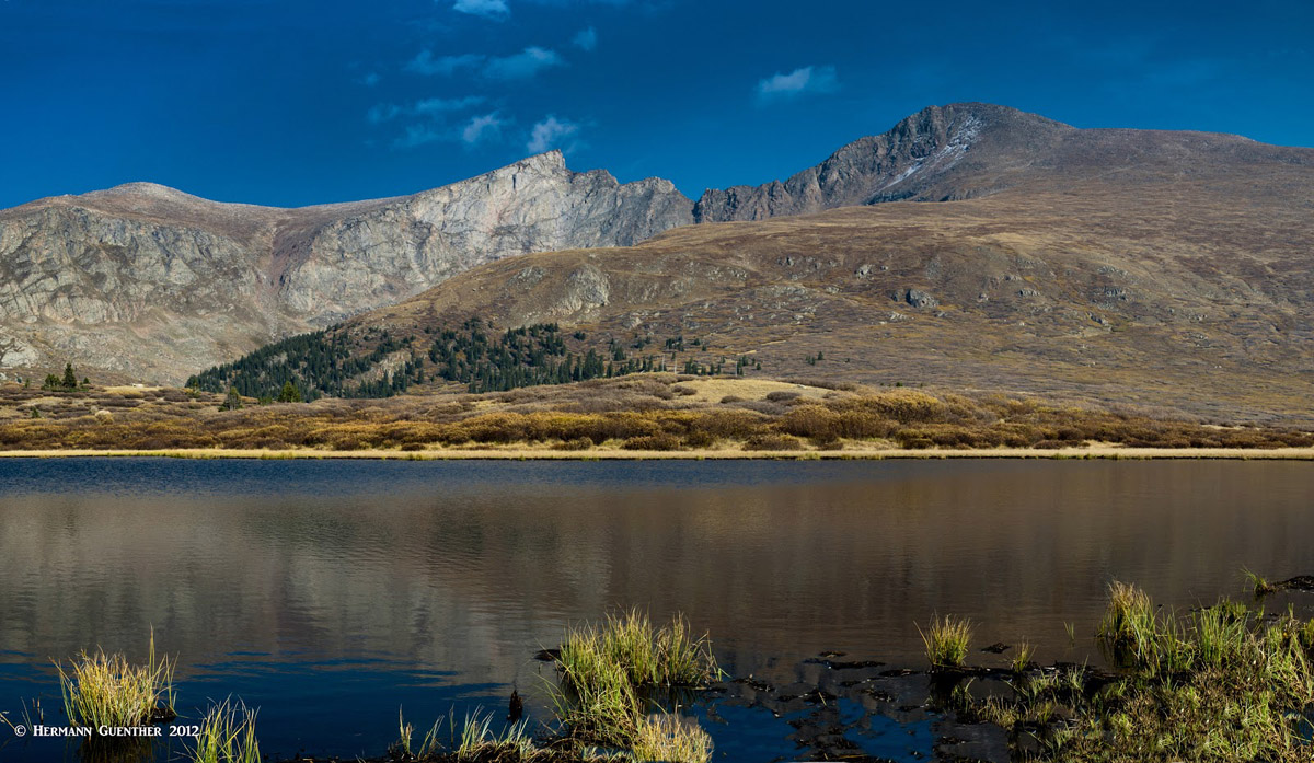
Abyss Trailhead - For those willing to undertake a long day-hike of about 18 miles round trip, this is the trailhead from which to start. It is located along the Guanella Pass Road about five miles north of small town of Grant along U.S. Highway 285. Abyss Lake rests in a rock-rimmed glacial basin at an elevation of 12,550 feet, tucked in between Mounts Evans and Bierstadt. The view across the lake toward the Sawtooth Ridge connecting the two peaks is impressive. This trail, the Scott Gomer Trail, passes a number of scenic ponds and meadows that can make excellent backpacking destinations, whereby the length of the hike can be broken down into smaller segments. About halfway up along the Scott Gomer Trail is a branch trail that leads all the way up to Guanella Pass. The terrain in this area is quite conducive to cross-country skiing since the grades are mostly gentle.
Abyss Lake and the Sawtooth
With the proximity of the Mount Evans Wilderness to the largest urban population in the Rocky Mountains of North America, it would be remiss not to include Denver in this category of major towns. But there are other towns on the periphery of this wilderness that are deserving of mention, since they not only provide some amenities for visitors but also have aspects of historic interest. Those that fit this category are Idaho Springs and Georgetown, and to a lesser degree, the suburban mountain towns of Evergreen and Conifer, which are technically part of the greater Denver urban area.
Denver - Having a metropolitan area population of over 2 million, it goes without saying that Denver, the Mile High City, offers anything and everything that a visitor needs or wants. With a world-class international airport, world-wide access to Denver is easy. Non-stop flights from as far away as Asia and Europe are routine. Visitors can get into a car at the airport and be in the high country in as little as 90 minutes, even less to parts of the Mount Evans Wilderness. Looming 9,000 feet above the Great Plains and dominating the view from Denver to the west, the mighty profile of Mount Evans, only 35 miles away, cannot fail to impress first-time visitors. I have lived here almost forty years and am still impressed every time I see this view. And while all amenities one could want in a big city are readily available, it is the proximity to the mountains which is one of the biggest attractions Denver provides. The only Interstate Highway crossing Colorado from east to west is I-70, which passes through the center of Denver. This is most convenient, since the most popular destinations in the Mount Evans Wilderness are easily reached by all-season roads directly off the Interstate Highway.
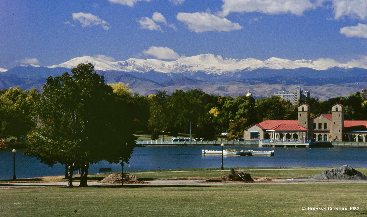
Mount Evans Massif from City Park, Denver
Idaho Springs - This historic mining town of 1,700 residents dominates the narrow Clear Creek Valley and is the first significant town a traveler encounters when driving west along I-70. Most drivers will "fly" past the town on their way to higher and farther destinations. But those in the know will get off at the main exit and head up into the Mount Evans area. It is only 28 miles and about one hour from here to the very summit of this 14,271-foot fourteener. Of course the Echo Lake Park area is only 14 miles and 23 minutes away. Idaho Springs does offer a limited selection of accommodations, and a number of restaurants and breweries. There are also several attractions for visitors interested in mining history. The Argo Gold Mine and Tunnel is a tourist favorite as is the Indian Hot Springs. River rafting and tubing on Clear Creek is a hot-ticket item in the summer months.
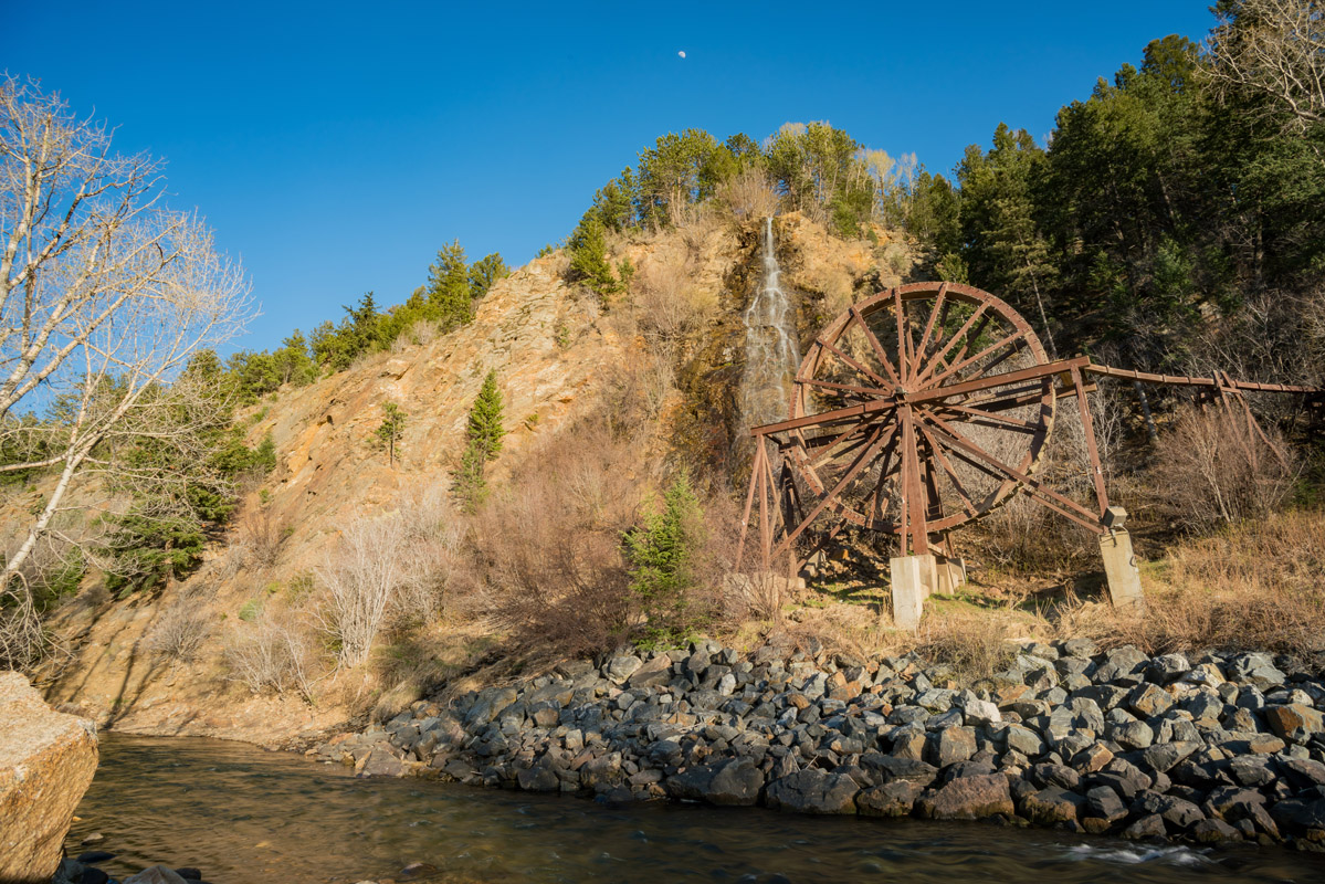
Charlie Taylor Water Wheel at Idaho Springs
Georgetown - This charming Victorian town just a few miles west of Idaho Springs is a must-see stop along the way into the mountains. If nothing else, the Victorian architecture alone is worth a stop off the highway, with a collection of historic houses and museums, as well as a fine choice of restaurants, shops and boutiques. The famous Georgetown Loop Railroad is a reconstruction of a historic mountain train line that is extremely popular with families in the summer months. But Georgetown is also a major gateway into the Mount Evans Wilderness area, specifically the most popular trailhead at the top of Guanella Pass. It is only 12 miles from the highway exit to the pass along an extremely scenic road that takes only about a half hour. Being a small town of only about 1,000 residents, Georgetown does not offer a wide choice of accommodations or restaurants, but what it does offer is adequate for those visitors who chose to make this charming town a base for exploring the surrounding attractions.
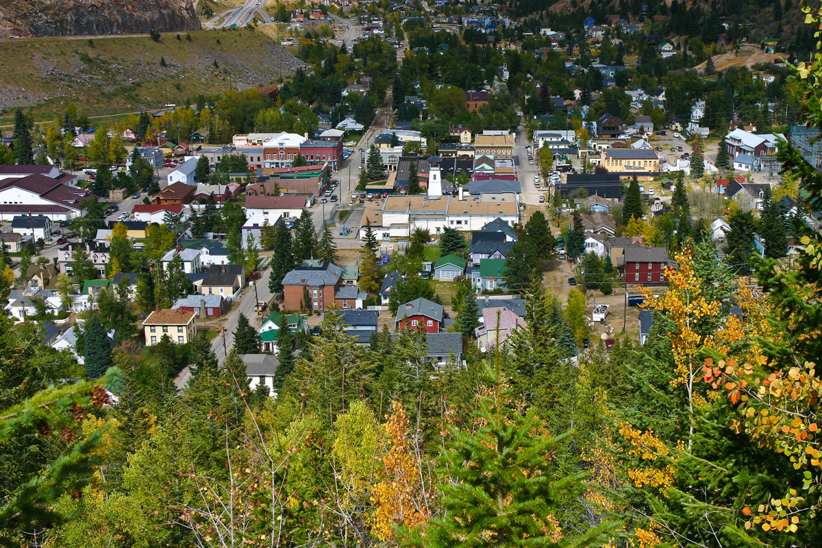
Georgetown from Guanella Pass Road


