Scan the QR code and open PeakVisor on your phone
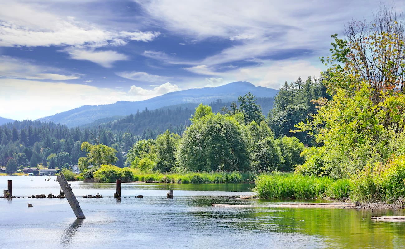
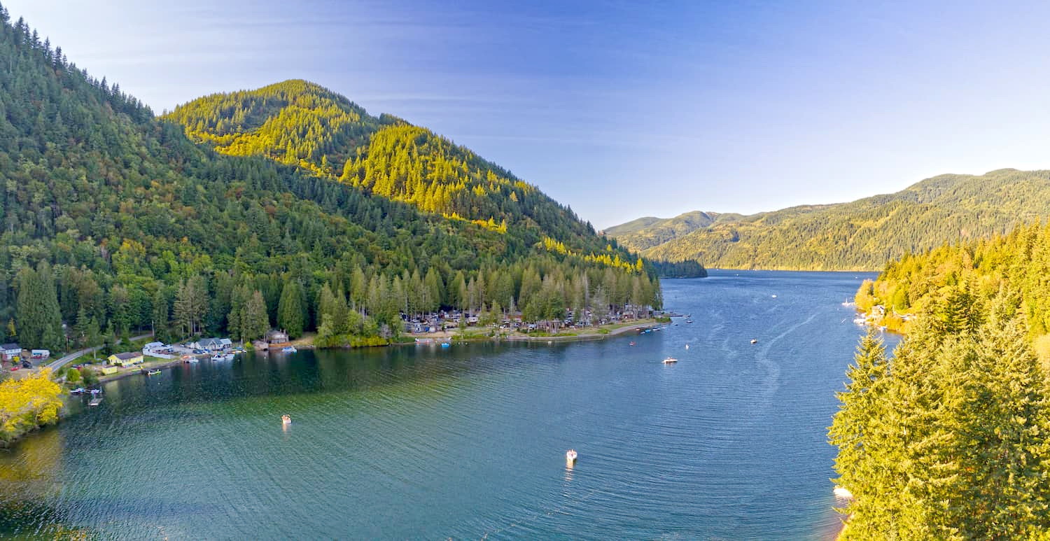
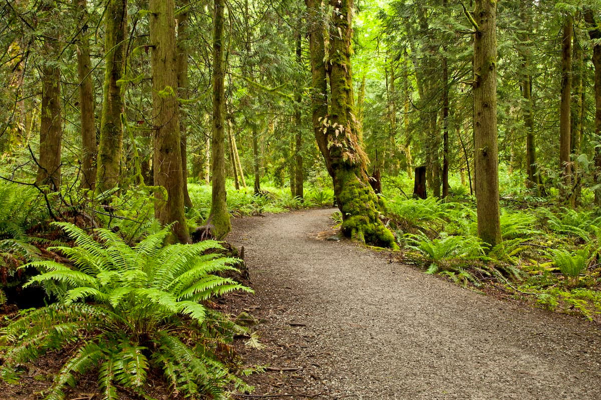
While the trees stand old and tall in Lookout Mountain Forest Preserve, many of the trails have been created since 2018. This forest is a nice and calm alternative to the often busy Chuckanut Mountain trail system. There are 2 named mountains in Lookout Mountain Forest Preserve. The highest and the most prominent mountain is Lookout Mountain. Located within minutes of downtown Bellingham, this forest has 8 miles of trails that are used for a variety of outdoor activities; hiking, running, and biking. The area spans nearly 4,430 forested acres and is located just south of Sudden Valley in Whatcom County.
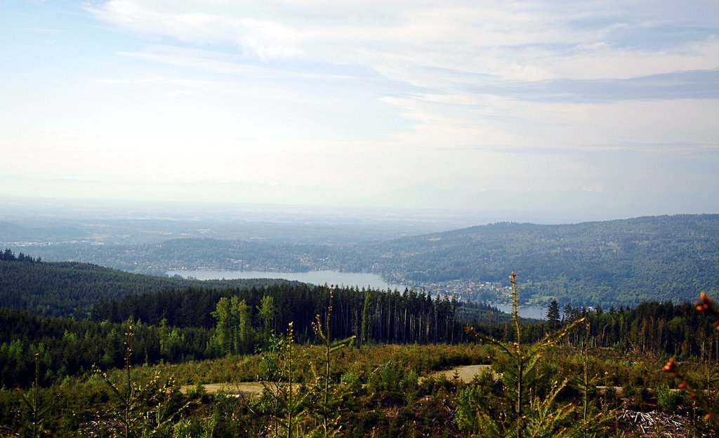
One of the most popular hikes in the forest, this 4.6-mile trail starts at Lookout Mountain Trail. The moderate climb takes you through old growth forest, across streams, wetlands, and sandstone cliffs before reaching Lake Whatcom Lookout. Enjoy the view of the lake below and on a clear day see Mt. Baker in the distance.
This short 1.1-mile trail has just over 200 feet of elevation gain. The trail takes you to a beautiful waterfall lookout amongst the forest’s pines. The short distance makes the trail more accessible for all levels and ages of hikers.
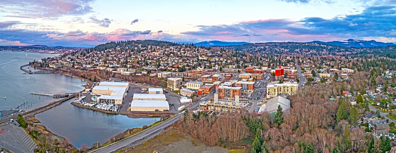
Located in the northwestern part of Washington, Bellingham is a paradise when it comes from outdoor adventure. The city is known as being a mecca for trail running, hiking, and mountain biking with a population of 80,000. The city sits on the water of Bellingham Bay and is two hours west of the North Cascades. The outdoor town is about an hour south of Vancouver B.C. and 80 minutes north of Seattle. The Lookout Mountain Forest Preserve is located seven miles southeast of downtown Bellingham.