Scan the QR code and open PeakVisor on your phone
The Irazú Volcano National Park is located in central Costa Rica, just east of the capitol San Jose. The park spans eight square miles across the country, as it encompasses Volcan Irazu. Irazú Volcano National Park was established back in 1955 and is home to a major reforestation project. The reforestation aims to help the land recover from the massive eruptions that have occurred in the past. There are 3 named mountains in Irazú Volcano National Park. The highest and the most prominent mountain is Volcán Irazú standing at 11,260 feet with 6,207 feet of prominence.
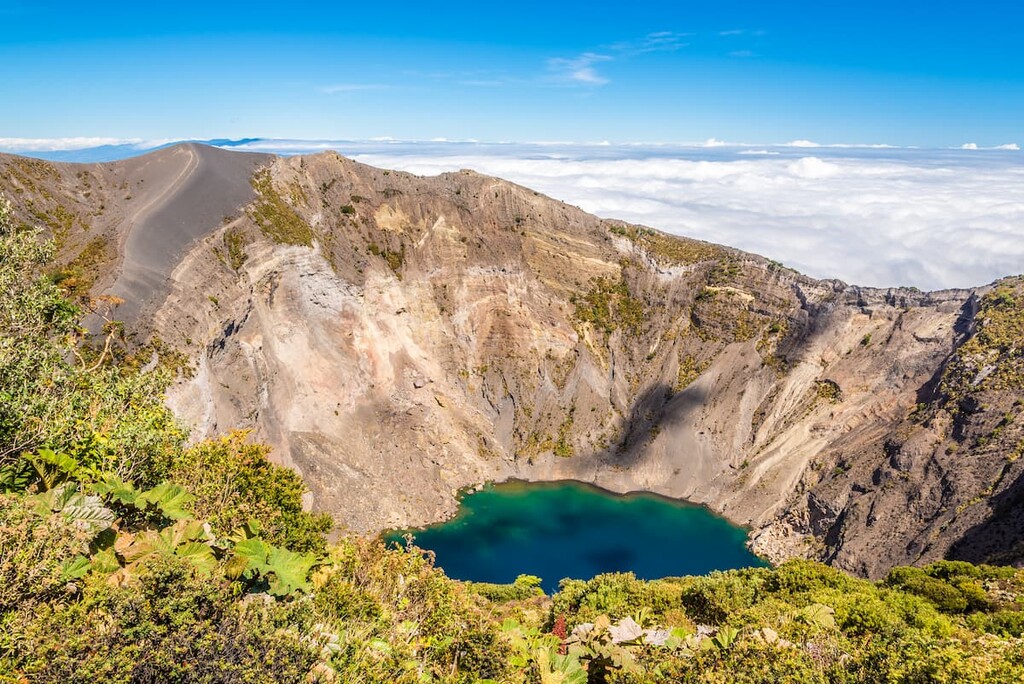
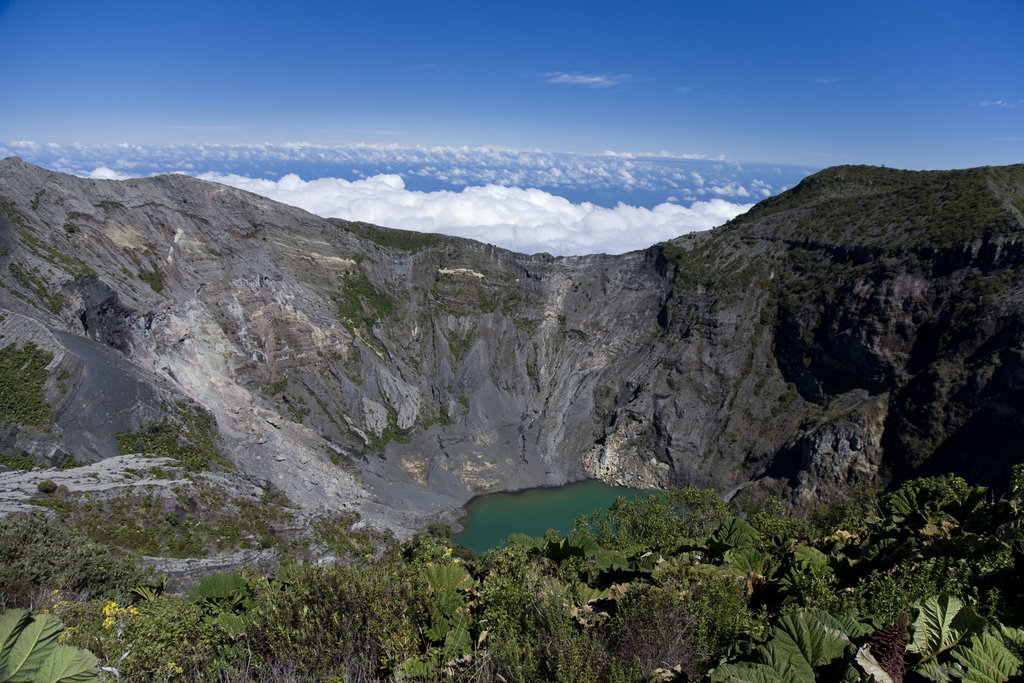
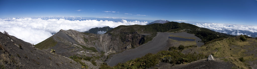
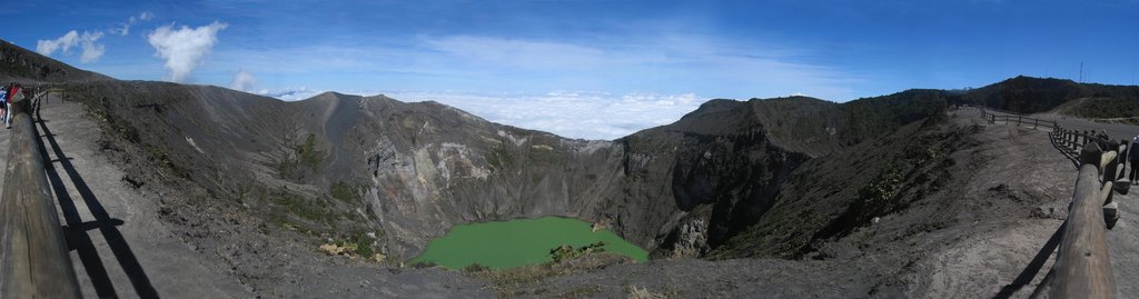
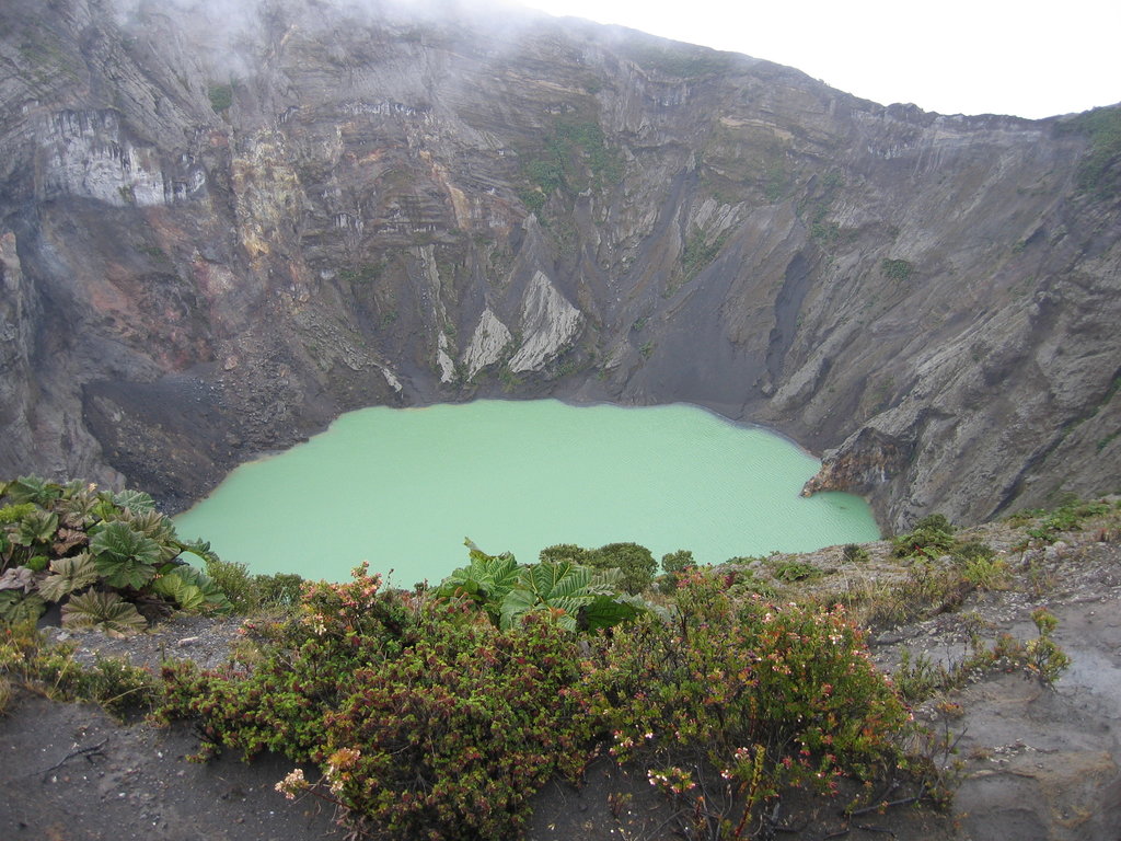
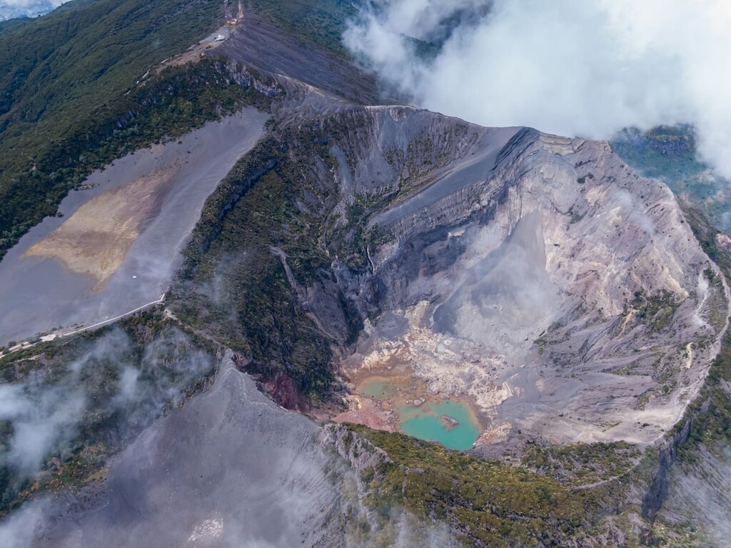
Volcan Irazu is still an active volcano though the last major eruptions took place in 1963 and 1965. The native forest that is still standing after the eruptions is made up primarily of oak and alder trees which protect the Reventado River watershed. Once near the summit, hikers can see the lake within the Diego de la Haya, known for its greenish color. Animals in the park live primarily within the forest. This includes owls, armadillos, rabbits, hummingbirds, and woodpeckers.
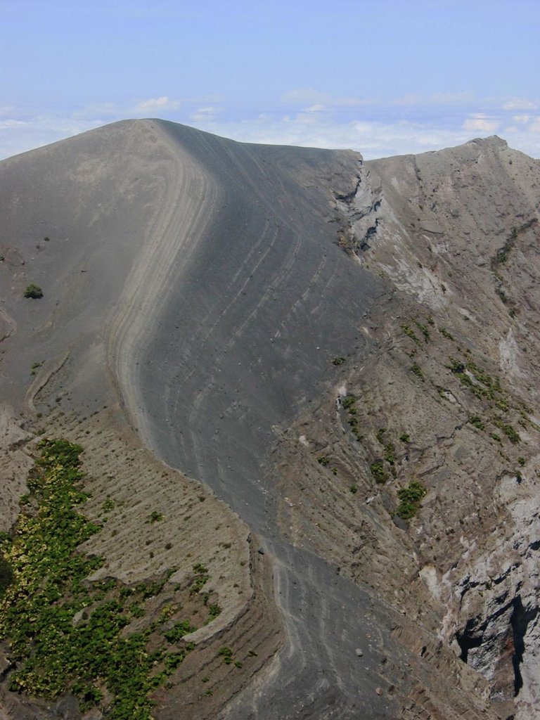
Volcan Irazu was named after thunder because of its many eruptions. In Costa Rica the infamous volcano is known as “El Coloso” because of the devastation it has caused in the past. There are numerous craters atop the volcano including the lake within Diego de la Haya. The volcano is the highest active volcano in the nation. Of the ten Quaternary volcanoes located in northern Costa Rica, Volcan Irazu is the most southern. There have been 23 eruptions of the volcano since recording began back in the 1700s. The most well-known eruption began in 1963 and lasted until 1965. The park’s close proximity to San Jose makes it an easily accessible tourist attraction. The main road leads up to the summit of the park with pathways available along the edge of the crater.
Irazu Volcano Trail: Once at the summit, the park offers a 1.3 mile trail that has around 150 feet of elevation gain. The wide trail offers views of central Costa Rica below as well as a look down into the crater. Hikers should try to visit on a clear day so that views of the bright green lake are possible.
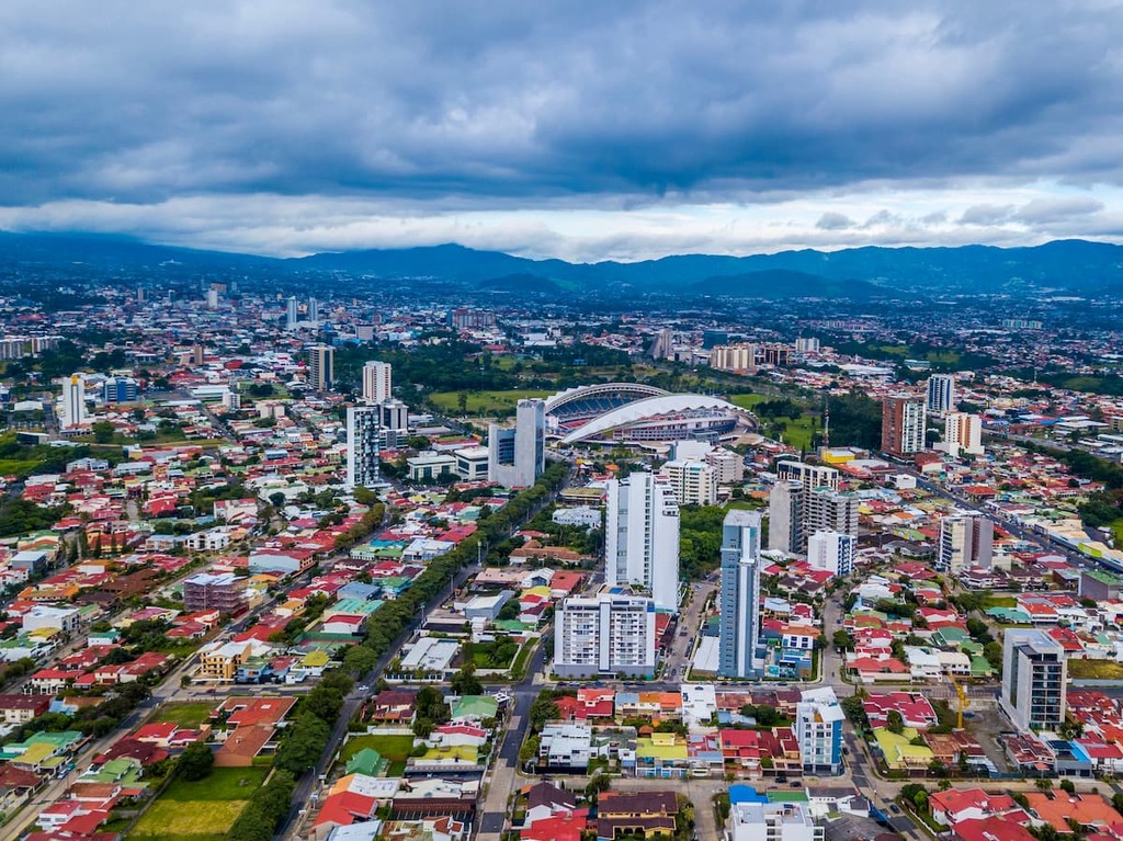
The largest city in the country is San Jose, which also happens to be the capitol. The metro population of the area is estimated to be 2.1 million people. The central location of the city allows for travelers to have easy access to all regions of the country. San Jose is known for being one of the safest major cities in Latin America and its focus on sustainability. Typical food throughout Costa Rica, and within San Jose, consists of gallo pinto, a mixture of beans and rice. From the capitol city, tourists have access to all of the major regions and National Parks that Costa Rica has to offer.