Scan the QR code and open PeakVisor on your phone
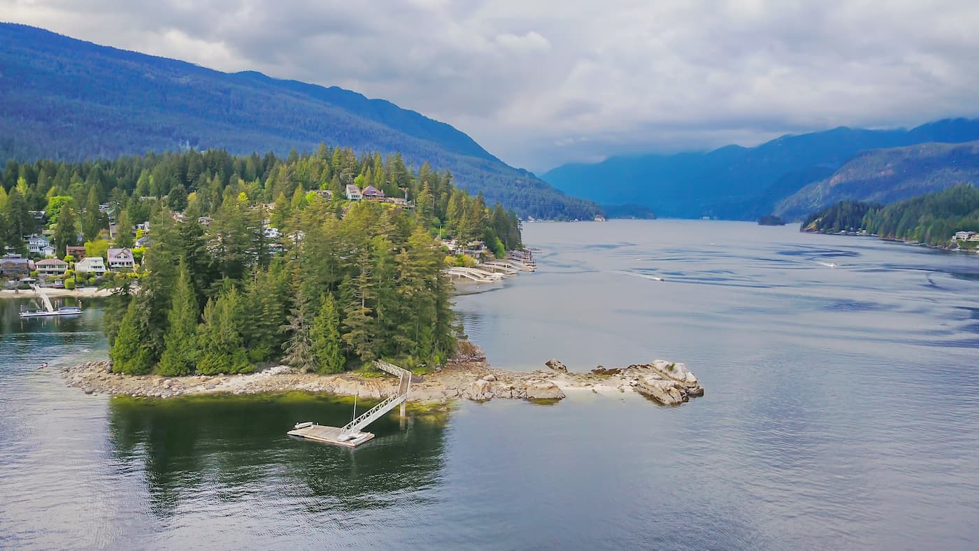
Say Nuth Khaw Yum Provincial Park [aka Indian Arm Park], is co-managed by both the Tsleil- Waututh Nation and the Province of British Columbia. The phrase “Say Nuth Khaw Yum” means “Serpent’s Land” and the park is located in traditional territory of the Tsleil-Waututh people. The conservation park protects the shores of Indian Arm, which is an 18 km fjord; the fjord extends north from the Burrard Inlet in Vancouver, British Columbia. The area was once heavily glaciated which has left behind a diverse and rugged landscape featuring the 50-metre high Granite Falls.
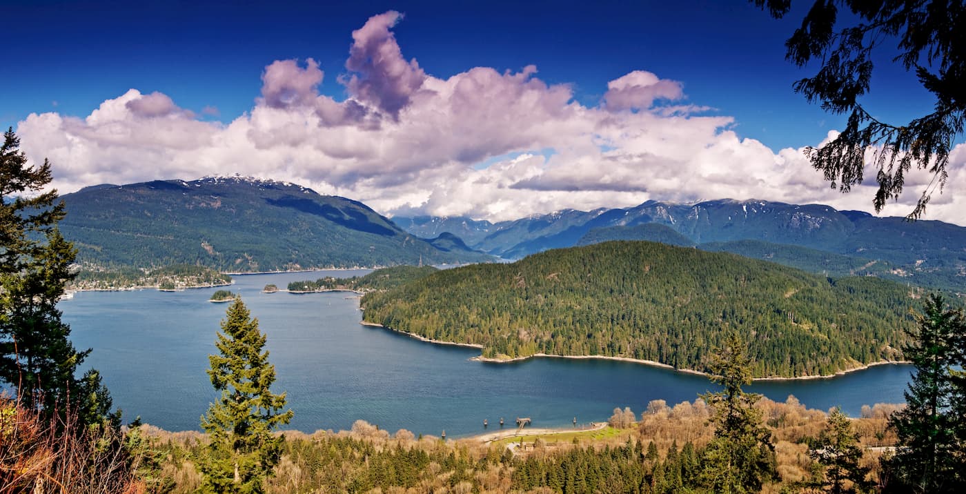
The Provincial Park also encompasses Racoon and Twin Islands. The old-growth forest that covers the landscape makes the park ideal for hiking and wildlife viewing. Being surrounded by water ensures that a post hike dip is always accessible. Hikes in the area tend to be quite strenuous so plan accordingly with food and water. There are 5 named mountains in Indian Arm Provincial Park. Mount Dickens is the highest point. The most prominent mountain is Dilly Dally Summit.
This 20 km hike is rated for expert hikers as the route is quite strenuous. The trail climbs out of Buntzen Lake to El Paso junction. The climb has multiple viewpoints of Vancouver below. Once you reach the ridge, you’ll enter some of the best remaining old growth sections along Eagle Ridge. The trail continues to climb past Jessica Lake, Pulpit viewpoints, before finally reaching Lindsay Lake. Follow the loop around the lake before descending steeply along the trail you climbed up on.
This 7km hike may be short but is rated for experts. The trail offers views of Vancouver, Burrard Inlet, and Indian Arm below. The trail starts in the B.C. Hydro Recreation area before connecting to Say Nuth Khaw Yum Provincial Park. Travel uphill, along the ridge and cross the power lines and pipelines. Continue following the trail up the forested ridge past numerous viewpoints. The road meets up with an access road and stay right to meet up with the Buntzen Lake trail. Turn left to travel north towards the suspension bridge and North Beach.
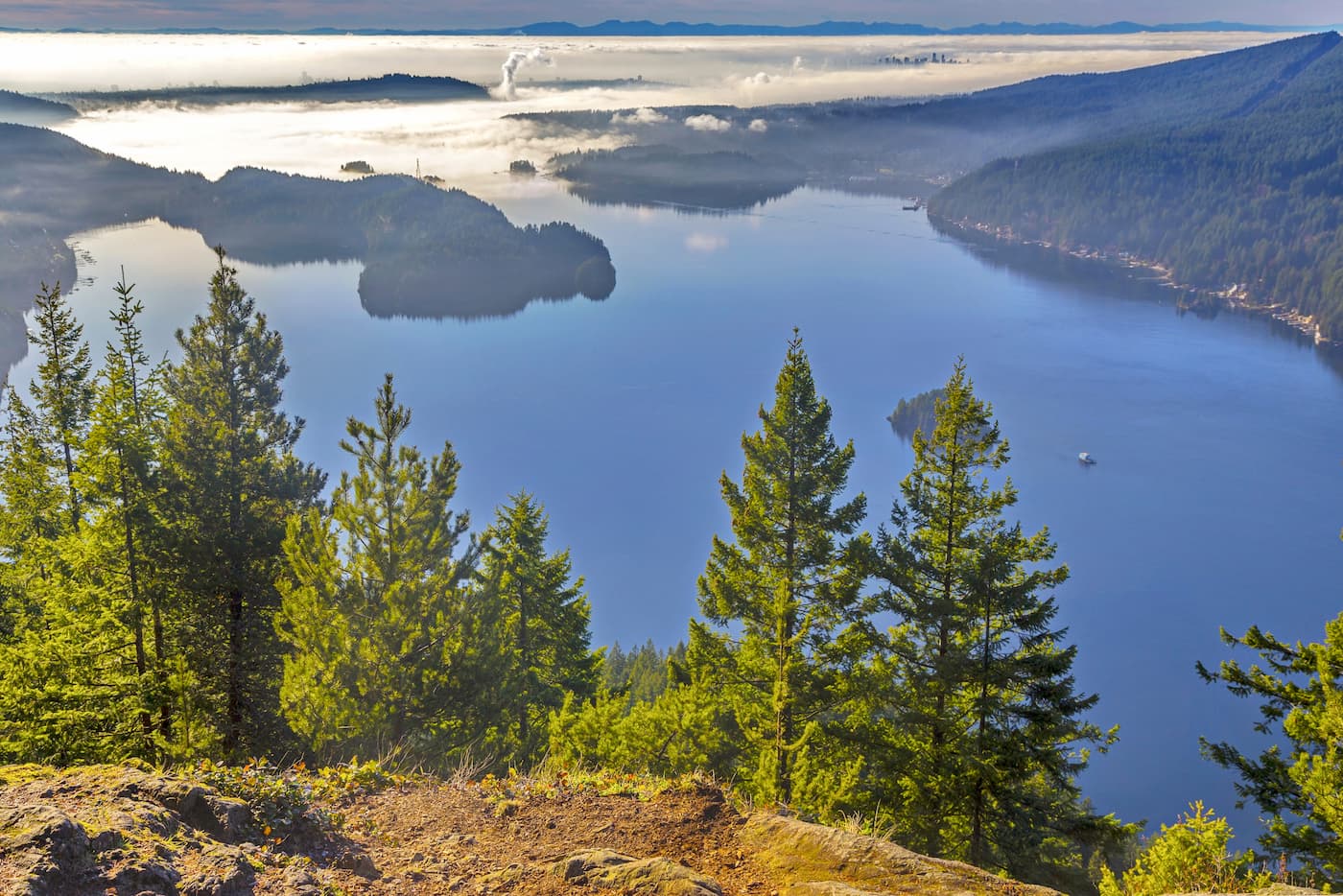
This 25km trail has over 1150m of elevation gain. Starting at the northern end of Buntzen Lake, travel up the Swan Falls Trail to the Swan Falls Junction. Travel along the ridge past 117 Lookout and over Dilly Dally Peak. Take in the views before the trail begins to descend down an old logging road, eventually leading back to the north end of Buntzen Lake.
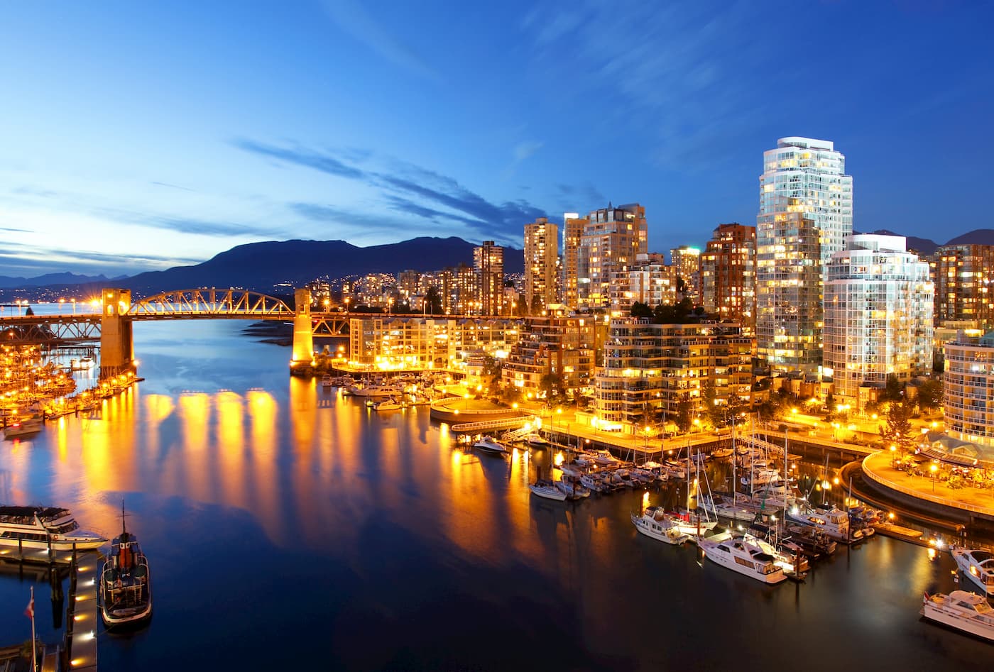
Vancouver is the third largest city in Canada and the largest city in the entire province. While the city population is 603,000, the Vancouver metro area has a population of over 2,500,000. The city is one of the most ethnically and linguistically diverse cities in Canada. The mild climate of the city, along with its abundant access to lakes, trails, and mountains, makes it a popular destination for outdoor recreation. The city is close to three ski resorts, and an abundance of hiking, running, and mountain biking trails.