
Scan the QR code and open PeakVisor on your phone
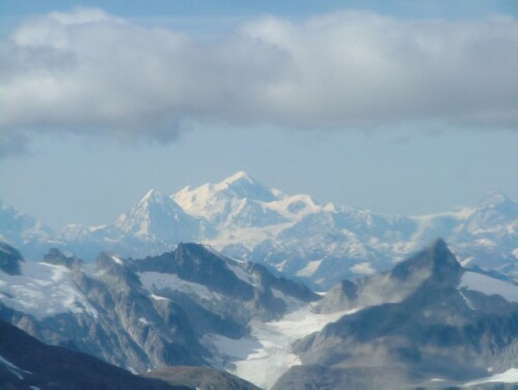
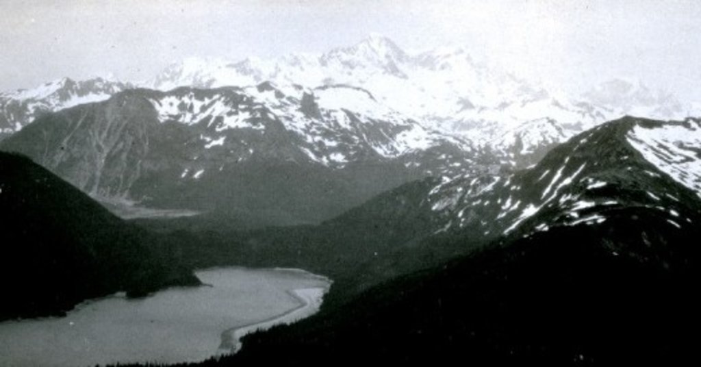
Glacier Bay National Park has 102 named peaks. The highest is Mount Fairweather at 4,671 m. Other notable peaks include Mount Quincy Adams, Mount Crillon and Mount Root.
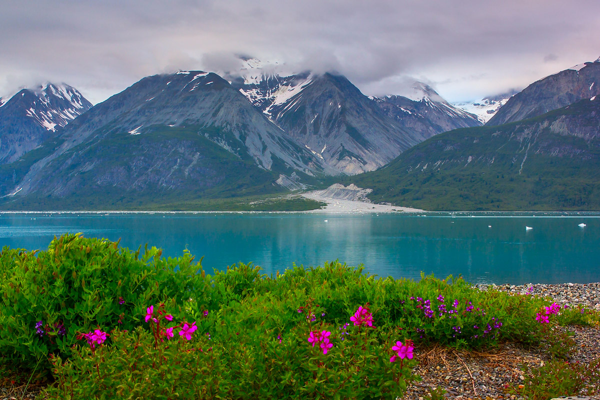
Situated on the coast of the Southeast Alaska panhandle, Glacier Bay National Park and Preserve is a large swath of public land dedicating to protecting the natural wonders of the heavily glaciated region. The modern day boundaries protect 3,223,384 acres (13,044 km2) of land in the US state of Alaska with 2,7700,000 acres (11,210km2) designated as a wilderness area.
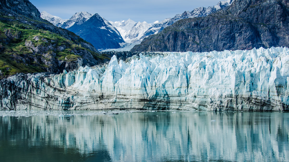
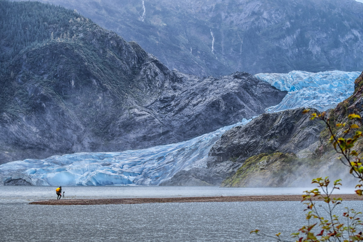
The park is home to 89 named mountains, the highest at most prominent of which is Fairweather Mountain (15,325ft/4671m). Additionally, Glacier Bay is known for its mix of glaciation, sharp jagged peaks, and temperate rainforest all in one area, making it one of the most unique National Parks in the United States.
There is archaeological evidence that suggests the earliest human inhabitants of the land that would later become Glacier Bay National Park arrived in the region about 10,000 years ago. However, evidence of that time is relatively scarce because of the area’s extensive glaciation which has either destroyed artifacts or prevented their preservation.
Thus, the vast majority of archaeological evidence in the Glacier Bay National Park area is from the last 200 years. The Haida, Eyak, and Tlingit people all consider the region to be their ancestral homelands, though the Tlingit people have been the most populous group in the area in recent centuries.
The first European to journey through the area was Jean-Francois de Galaup, who traveled the Alaska coast by foot starting in 1786. Researchers also believe that Russian fur traders made it to the area during the mid-1700s after which, George Vancouver’s Discovery visited in 1794 during the Vancouver Expedition.
One of the more notable white visitors to the region was John Muir, who visited what latter became Glacier Bay National Park in 1879. He detailed his journies in his 1915 book Travels in Alaska and later had the Muir Glacier renamed in his honor.

Tourism started in the late 19th century in what would become Glacier Bay National Park, thanks to the Pacific Coast Steamship Company, which ran tours throughout the Inside Passage, departing from Tacoma and Portland in the 1890s. Due to this accessibility, hundreds of naturalists and geologists made the journey to the area. But after a magnitude 8.0 glacier in 1899 rocked the area, shook Yakutat Bay and caused the previously 300 foot (91m) high Muir Glacier to collapse into the bay, tourism dropped substantially.
In the early 1900s, a movement to designate the Glacier Bay region as a national park was opposed by the U.S. Geological Survey, who believed the area was rich with valuable minerals. However, some land was set aside as the Glacier Bay National Monument after President Calvin Coolidge made a proclamation under the Antiquities Act on February 26, 1925.
During the Second World War, the US Army built a number of airfields in the region, principally around the small town of Gustavus. Preservation work in Glacier Bay National Monument was temporarily halted with no park personnel assigned to the monument until a few years after the conclusion of the war.
With the introduction and passage of the Alaska Native Claims Settlement Act (ANCSA) of 1971, an additional 80 million acres (32 million ha) were available for inclusion into the US National Park system. Eventually, in 1978, President Jimmy Carter invoked the Antiquities Act and proclaimed fifteen National Park Service units in Alaska that also expanded Glacier Bay National Monument to include lands around the Alesk River.
With the passage of the final Alaska National Interest Lands Conservation Act (ANILCA) in 1980, the monument was officially designated a national park. One year beforehand, however, UNESCO designated the Glacier Bay National Monument a world heritage site as part of the Kluane-Wrangell-St. Elias-Glacier Bay-Tatshenshini-Alesk transborder park system due to its importance as glaciated terrain and territory for grizzly bears, caribou, and Dall sheep.
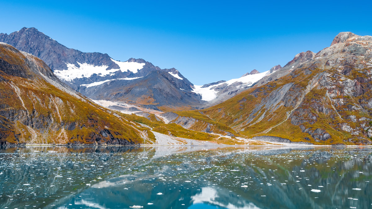
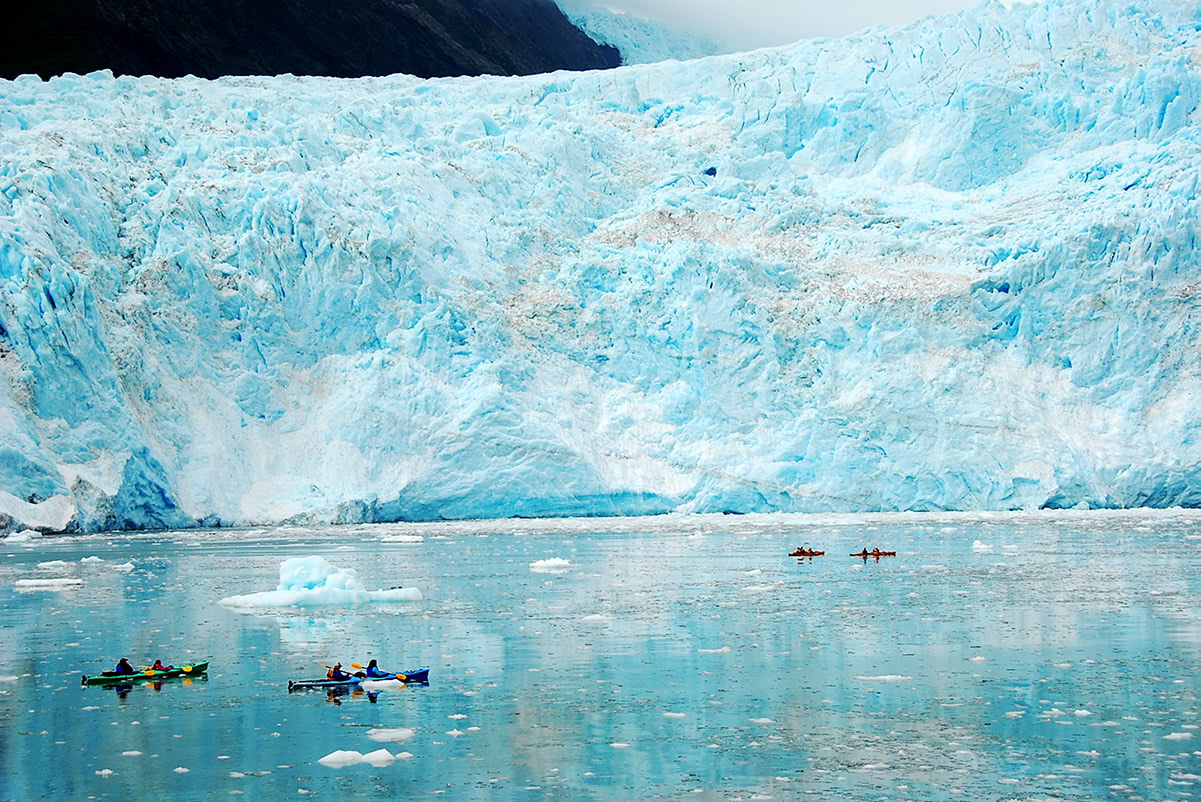
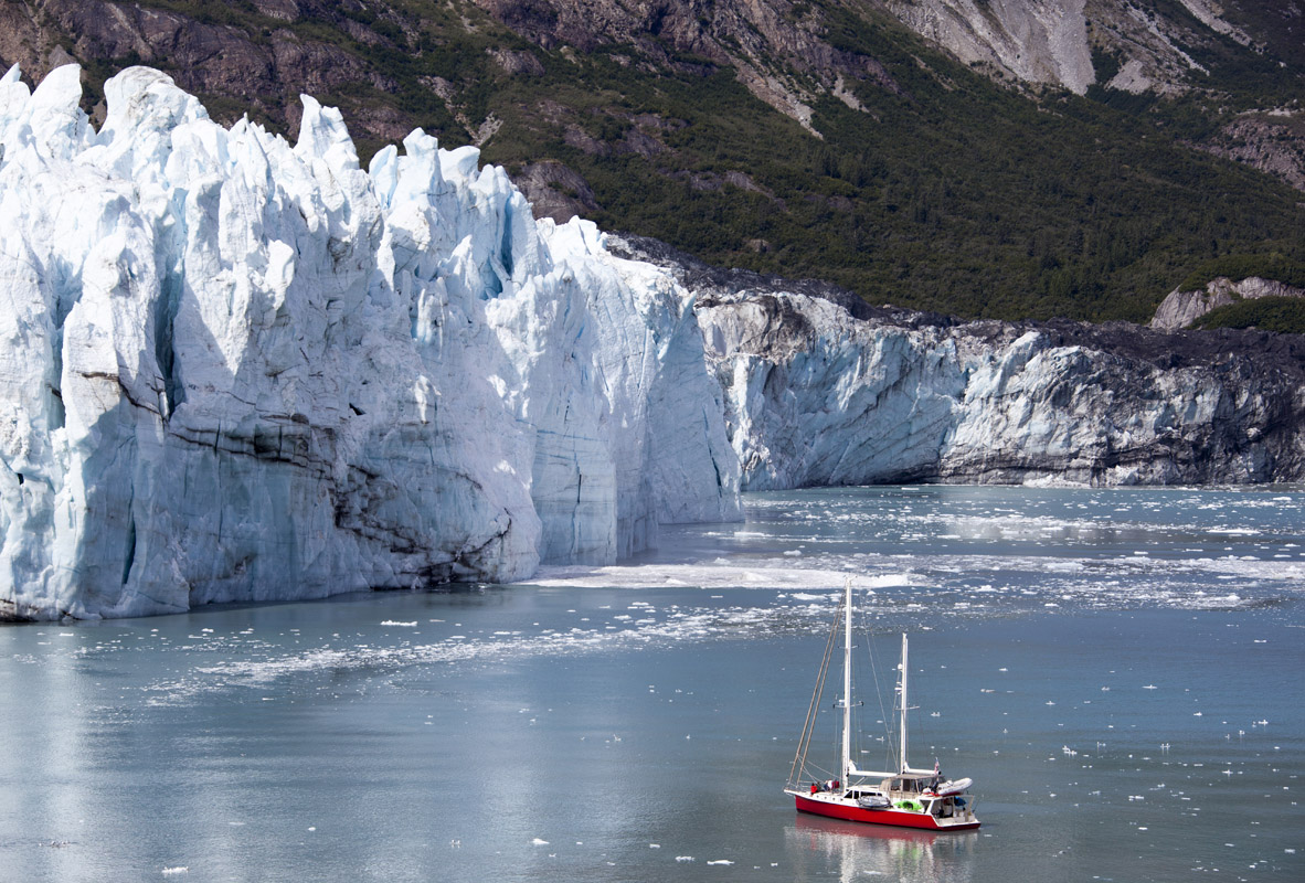
These days, the park is most frequently accessed by boat as a number of companies now offer cruises through the inside passage, allowing visitors to experience the splendor of the region’s glaciated bays first-hand. However, if you’re willing to delve further into the backcountry, you can find solitude, endless adventure, and stunning alpine scenery in Glacier Bay National Park.
Since the vast majority of Glacier Bay is rugged, glaciated coastline, there are limited opportunities for hiking on developed trails. The few trails in the park are all located around Bartlett Cove, though it’s possible to get a bush plane or boat to access more remote, trailless terrain with enough planning. Here are some of the Bartlett Cove trails:
This four mile, round trip, hike meanders through the beauty of an intertidal lagoon and then takes you into a spruce/hemlock forest. Eventually, you end up at the Bartlett river estuary where you can sit and watch for coyotes, moose, bear, and other critters. Salmon and seabirds are also a common site from the estuary.
The Bartlett Lake Trail is an 8 mile, round trip walk that climbs up a moraine to reach the shores of Bartlett Lake. Solitude abounds on this trail, but be sure to pay attention to where you’re going as it’s easy to lose the trail.
Glacier Bay National Park is pretty darn remote. Plus, the region’s maze of fjords makes travel difficult, even across short distances. There’s really only one place to start your journey: Gustavus, Alaska.
Gustavus, Alaska is a small town of just 400 people that’s located west of Juneau, Alaska. The town has an airfield with daily plane service from Juneau, courtesy of Alaska Airlines. The only road into Glacier Bay National Park leaves from Gustavus and takes you ten miles to Bartlett Cove. Unless you arrive in the park by boat, Gustavus is your go-to starting point for your adventures.


14er
ultra
4000ers-canada
11ers-bc
alaska-13ers
canada-sampler
british-columbia-ultras
alaska-ultras
14er
ultra
4000ers-canada
11ers-bc
alaska-13ers
canada-sampler
british-columbia-ultras
alaska-ultras
The highest peak in Glacier Bay National Park is Mount Fairweather, at 4,671 m.
Notable peaks in Glacier Bay National Park include Mount Fairweather, Mount Quincy Adams, Mount Crillon, Mount Root and Mount Watson.


