Scan the QR code and open PeakVisor on your phone
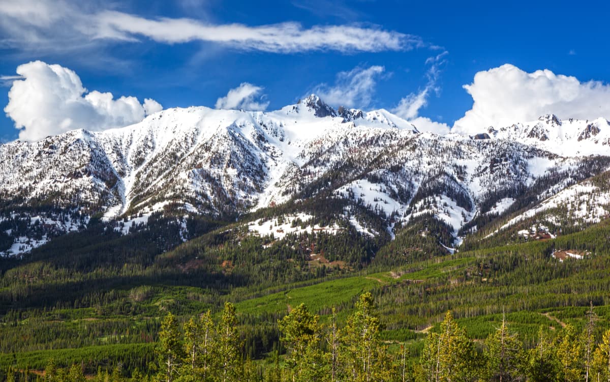
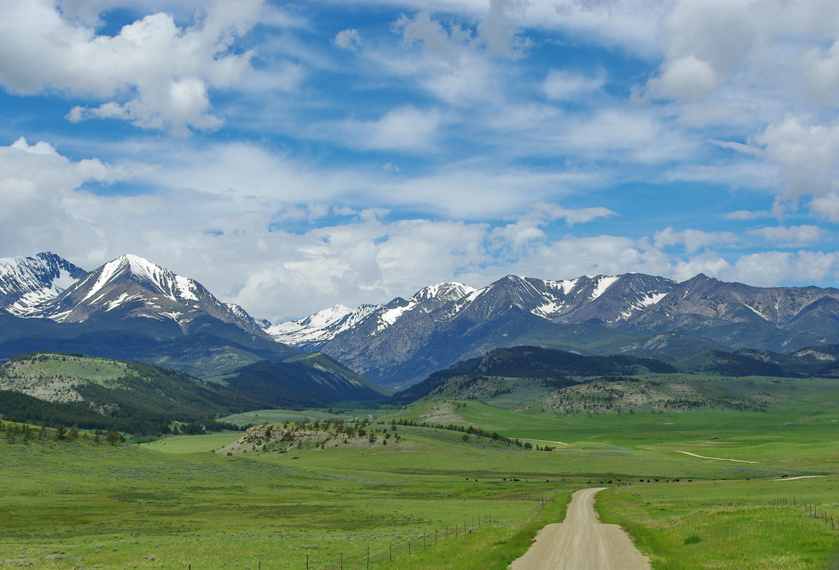
The Gallatin National Forest is located in south central Montana in the United States and spans 1,8 million acres. Portions of the Lee Metcalf Wilderness and the Absaroka-Beartooth Wildernesslie within the forest’s boundaries. There are 144 named mountains in Custer Gallatin National Forest. The highest and the most prominent mountain is Crazy Peak at 11,178 feet. The forest is bordered by Yellowstone National Park and is part of the larger Yellowstone Ecosystem. In total this ecosystem encompasses 20 million acres of land. The Gallatin National Forest was named after former U.S. Secretary of the Treasury, Albert Gallatin.
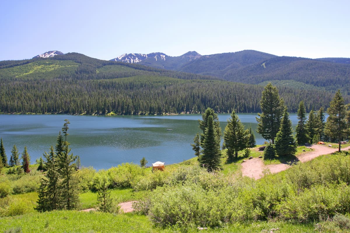
Within the forest lie six separate mountain ranges. This includes the Gallatin, Madison, Crazy, Bridger, Absaroka, and Beartooth ranges. Within the forest lies Quake Lake. This lake is the location of the 1959 earthquake and subsequent landslide that formed what is now Quake Lake. Much of the lower elevation within the forest is characterized by thin trees, sage brush, and grasses. The higher altitudes offer more dense forest, rugged peaks, and alpine lakes and meadows. There are over 4,000 miles of waterways within the forest, many which connect with the nearby Yellowstone River. Both the Madison River and Missouri River run through the wilderness.
The Gallatin National Forest is home to nearly 2,300 miles of hiking trails. Many trails within the forest connect or lead to Yellowstone National Park. While the summer months are full of hiking, the region is popular amongst snowmobilers during winter months. Wildlife in the forest is similar to the surrounding regions with grizzly bear, black bear, bighorn sheep, elk, moose, cougar, and various other species. An abundance of trout within the waterways of the forest are what make this region one of the most popular fly-fishing destinations in the United States.
Lava Lake Trail: This 6-mile trail is one of the most popular in the forest with 1,600 feet of elevation gain. The trail climbs steadily through the forest before reaching higher elevation along Cascade Creek. The three-mile climb is worth the view with pristine Lava Lake surrounded by Jumbo Peak and various other peaks reaching over 10,000 feet.
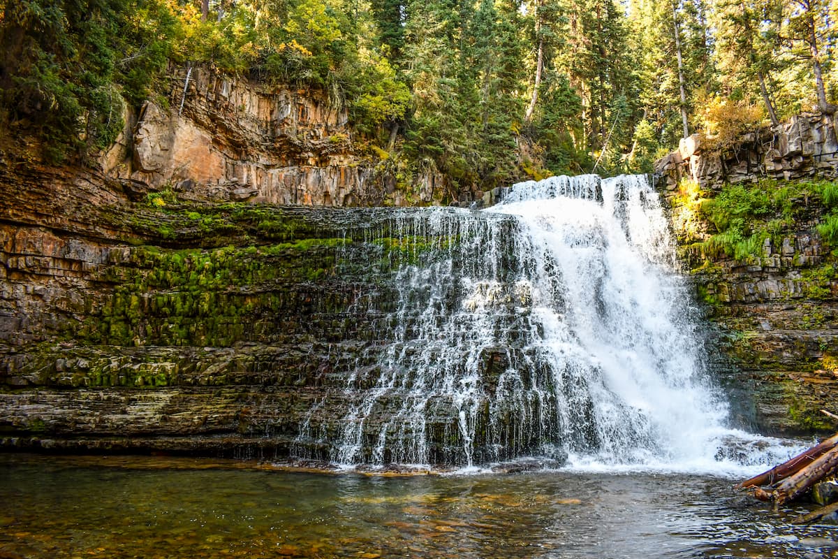
Ousel Falls: This short hike is just 1,6 miles roundtrip with 250 feet of elevation gain. The mostly paved trail makes this route accessible for many individuals. Once at the falls, hikers can take in the gorgeous view of the water rushing down. The falls can even be reached during the early winter to observe the frozen falls and river below.
Storm Castle Peak: Just a short drive outside of Bozeman, lies Storm Castle Peak. The 4.6 mile out and back trail has 1,800 feet of elevation gain. But the steep climb is worth it once hikers reach the summit. Panoramic views await, showcasing the forest, and seemingly endless peaks around.
Drinking Horse Mountain Trail: This 2.1-mile loop trail has 660 feet of elevation gain and views throughout. This shorter hike helps showcase where the forest meets the rolling hills. Along the trail, hikers have views of Bridger Canyon along with Gallatin Valley. A moderate hike that is also frequently used for running.
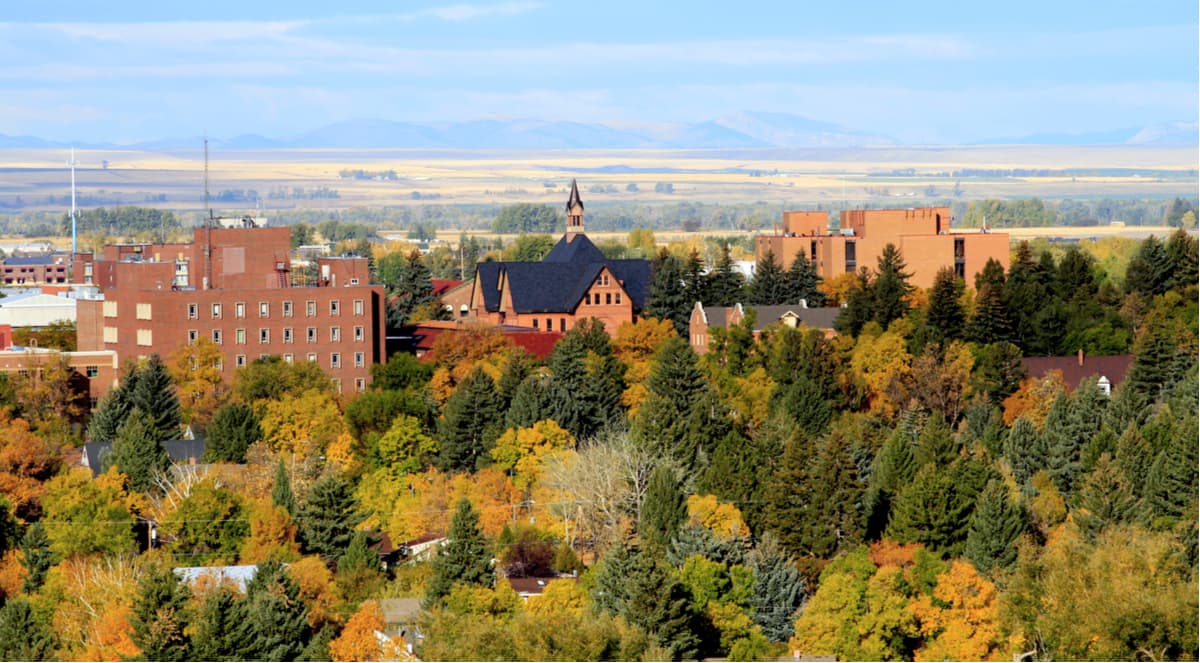
The city of Bozeman is one of the largest in the state of Montana. The population is estimated to be about 50,000 as the city saw a lot of growth over the past decade. The city is home to Montana State University and was named after John M. Bozeman who in 1864 established both the town and the Bozeman Trail. At an elevation of 4,820 feet the city experiences warm summers and snowy cold winters. Weather can change drastically from day to day. Bozeman is surrounded by mountains, making it a popular destination for outdoor adventure.
Big Sky is a small town with just over 2,000 full time residents. However, the city is located right next to the extremely popular Big Sky Ski Resort. Big Sky is 45 miles southwest of Bozeman and just 15 miles northwest of the border of Yellowstone National Park. While the city is dominated by skiing in the winter, the summer months offer hikes and mountain biking as well as local restaurants and pubs.