Get PeakVisor App
Sign In
Search by GPS coordinates
- Latitude
- ° ' ''
- Longitude
- ° ' ''
- Units of Length

Yes
Cancel
❤ Wishlist ×
Choose
Delete
Fjallabak Nature Reserve (Friðland að Fjallabaki) is part of the Icelandic Highlands and a protected area within the Rangárþing ytra municipality of southern Iceland. A landscape carved by volcanic activity and ancient glaciers, Fjallabak Nature Reserve embodies Iceland's nickname, the Land of Fire and Ice. There are 42 named mountains in Fjallabak Nature Reserve; the highest and the most prominent is Háskerðingur (1,281 m / 4,203 ft).
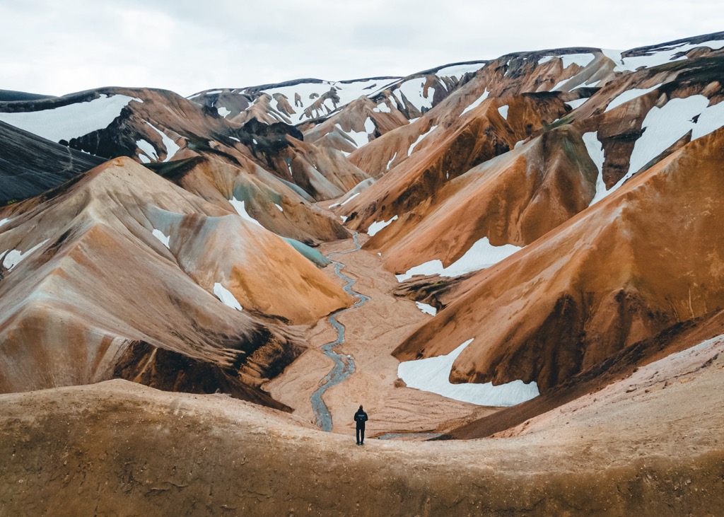
Fjallabak Nature Reserve covers an area of approximately 446 sq km (172 sq mi) north of Iceland's fourth-largest glacier, Mýrdalsjökull (1,336 m / 4,383 ft). The reserve spans from Torfajokull (1,032 m / 3,386 ft) in the south to Melfell (636 m / 2,087 ft) to the north.
Fjallabak is a mountainous region punctuated by deep valleys, lava fields, rivers, and hot springs. Due to their geological composition, the mountains of Fjallabak Nature Reserve are a vibrant blend of black, red, pink, green, blue, and yellow.
Tourists flock to Fjallabak Nature Reserve to visit Landmannalaugar, an area at the heart of Fjallabak Nature Reserve known for its multi-colored mountains and geothermal hot springs.
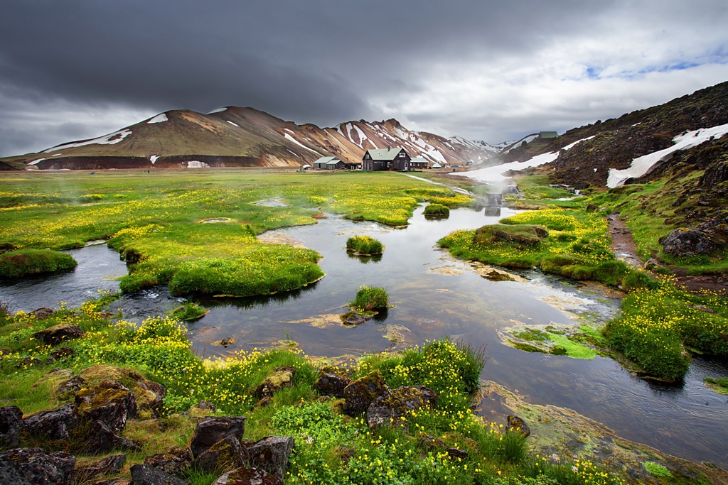
These hot springs are called the “People’s Pools,” which have been used by locals for centuries and can reach temperatures up to 40ºC (96ºF). They’re one of the reserve’s top attractions. The area is also popular for hiking, horseback riding, and even cross-country skiing in winter.
Just to the northeast of Landmannalaugar is Frostastaðavatn, Fjallabak Nature Reserve's largest lake, with a surface area of 2.3 sq km (1.4 sq mi).
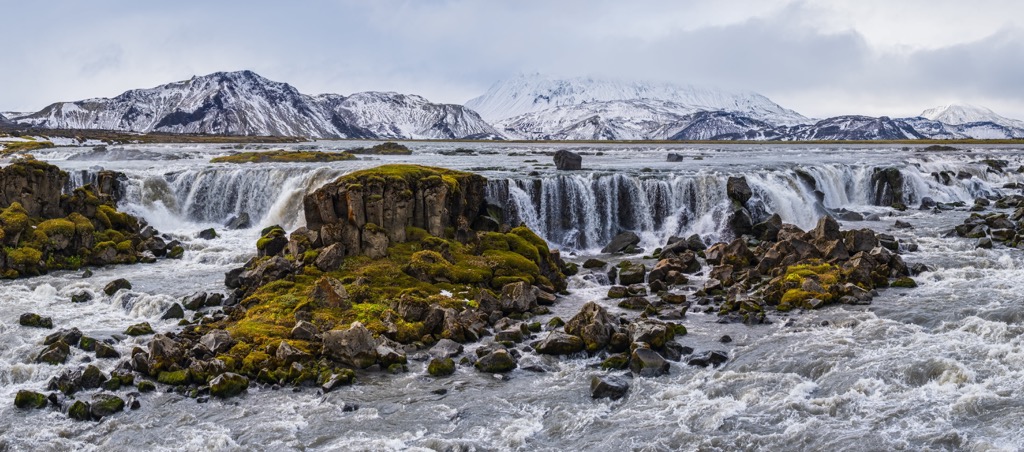
Along Fjallabak Nature Reserve's eastern boundary is the Tungnaá River, which features Tungnaárfellsfoss, one of Iceland's widest waterfalls. One of the hidden gems on the western side of Fjallabak Nature Reserve is the Rauðafoss waterfall, a striking orange-hued waterfall.
The largest nearby settlements to Fjallabak Nature Reserve include Selfoss, Hella, Flúðir, and Kirkjubæjarklaustur. Most visitors opt to stay at one of the reserve's several campsites while exploring the area.
Due to its location along the Mid-Atlantic Ridge on the boundary between the North American and Eurasian tectonic plates, Fjallabak has a unique and recent geological history.
The basement rocks of Fjallabak formed between 8 and 10 million years ago along the western drift belt of the North American Plate. Approximately 2 million years ago, intense volcanic activity sculpted the area's modern geological structure.
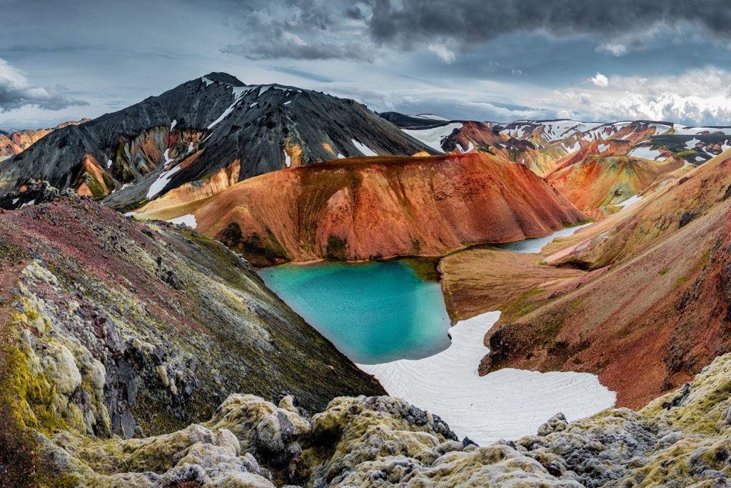
Fjallabak Nature Reserve is part of the Torfajökull area, a 600 sq km (232 sq mi) rhyolite massif which ranges between 600 m (1,968 ft) and 1,200 m (3,937 ft) above sea level. It's the largest rhyolite area in Iceland.
At the center of the Torfajökull area is an oval caldera that is approximately 500,000 years old and extends 16 km (10 mi) from east to west and 12 km (7.5 mi) from north to south.
The reserve is at the boundary of the Torfajökull and the Bárðarbunga volcanic systems. The northern Bárðarbunga volcanic system is geologically different from the southern Torfajökull. The Bárðarbunga spews only basaltic magma, while the Torfajökull is primarily rhyolite magma.
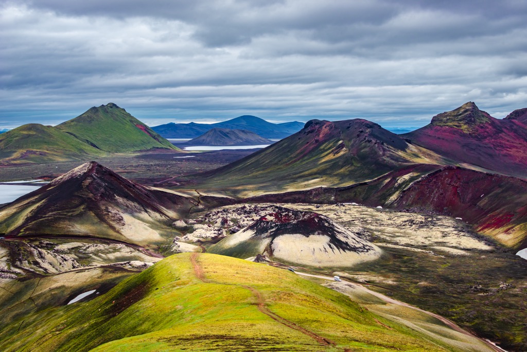
When rapidly cooled, rhyolite forms into obsidian, but can also be gray, yellow, pink, and green. Geothermal activity and erosion from hot springs, glaciers, and glacial rivers have helped shape the landscape's unusual coloration.
Rhyolite eruptions on the edge of the Torfajökull approximately 57,000 years ago during the late glacial period created geological structures unique to Iceland, including prominent rhyolite mesas.
Fjallabak is also home to some tuff mountains, like Löðmundur (1,077 m / 3,533 ft). Tuff is a type of rock formed from ash ejected during an explosive volcanic eruption. The ash particles, including small fragments of pumice, glass, and other materials, are compacted and cemented over time to form a solid rock.
Landmannalaugar to the north of the Torfajökull area is distinctly darker in appearance than the rest of Fjallabak. It belongs to the Bárðarbunga and is covered in alluvial plains and magma formed from mainly red and black river sediment and basalt. Landmannalaugar borders the jet-black Laugahraun lava field, created by a volcanic eruption in 1477.
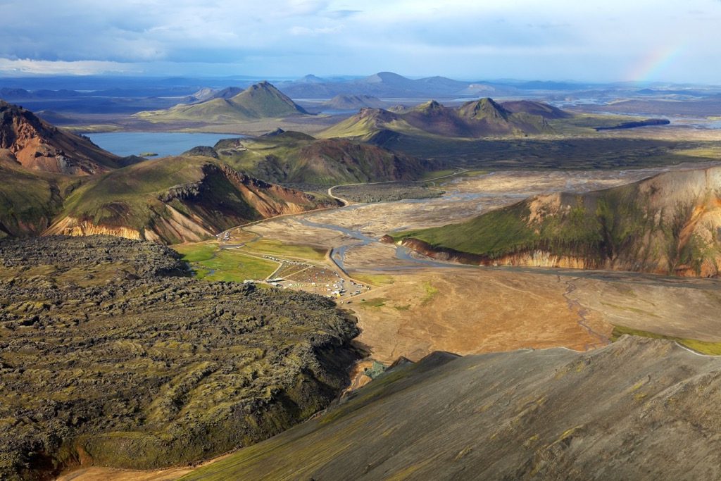
Fjallabak Nature Reserve may appear barren at first glance, but it's home to a wealth of wildlife, some of which depend on the region's geothermal and volcanic activity.
Due to its harsh conditions, mammals are scarce in Fjallabak Nature Reserve. Arctic foxes are uncommon in Fjallabak, but mink are more widespread, having been introduced in the 1950s. Reindeer don't generally travel as far west as Fjallabak.
Overall, 90 small animal species inhabit the reserve. Some animals, primarily insects, rely on geothermal activity to survive. These include Scatella tenuicosta f. thermarum, a species of shorefly, and Pirata piraticus, a species of wolf spider.
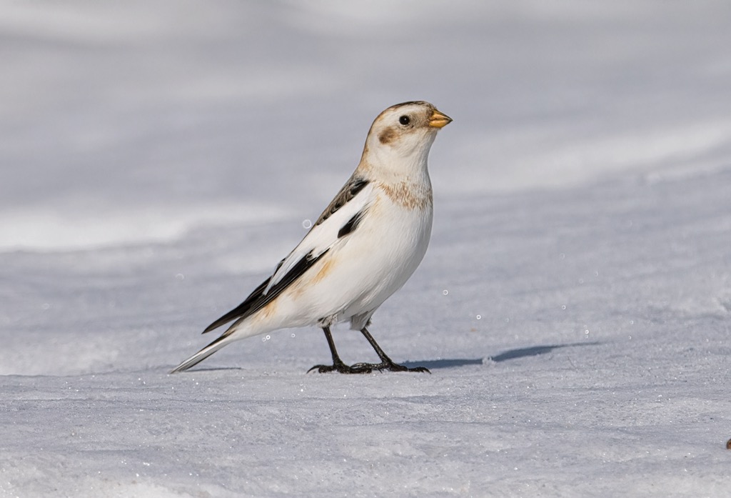
Twenty-three bird species nest within Fjallabak Nature Reserve, primarily around the reserve's lakes. The most common is the snow bunting.
Other notable bird species include ptarmigans, great northern loons, whooper swans, and red-necked phalaropes. Harlequin ducks are occasionally spotted within the Landmannalaugar and sometimes nest there.
The cold climate, poor soil quality, and grazing contribute to low vegetation levels across Fjallabak Nature Reserve. The reserve's most heavily vegetated areas are along the shores and banks of its lakes and rivers. Acidic rhyolite areas are particularly bare with little to no vegetation.
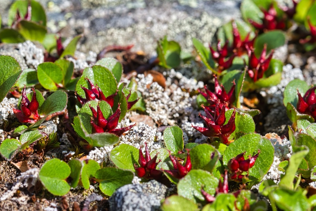
Approximately 150 plant species grow across Fjallabak, mainly alpine plants, mosses, and lichens. Dwarf willow, with its red and yellow flower clusters, is one of the most vibrant plants that grows across the lava fields and dunes.
Cotton grass is common in marshy areas near Fjallabak's lakes. Within the Landmannalaugar at low altitudes, marsh cinquefoil and common sedge add some welcome life to this otherwise empty landscape. On the rim of the Torfajökull caldera and the tuff mountains are continuous growths of bright green wooly moss.
There's little recorded early human history of Fjallabak due to its poor farming conditions and unforgiving landscape. Human activity in the area became widespread as late as the end of the 19th century.
When humans first arrived in Iceland in the late ninth century, Fjallbak was still undergoing significant volcanic and geothermal transformations, ranging from the Vatnaalda eruption in 871 to the Veiðivötn eruption of 1477.
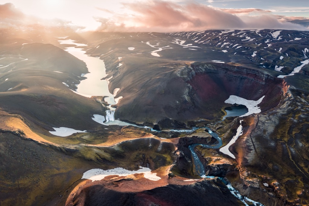
Icelandic folklore states that Torfi Jónsson í Klofa, a magistrate and chieftain, stayed in Fjallabak with his gang during a second wave of the plague during the late 15th century. Torfajökull is named after Torfi Jónsson.
According to reports by Jón Torfason, a reverend from Stóruvellir, Fjallabak's resources were unutilized until at least the mid to late 19th century. In 1841, he wrote about the potential for moss collecting, trout fishing, and swan hunting in the region, suggesting the area was still largely uninhabited.
It wasn't until 1850 that farmers began grazing sheep within Fjallabak, held back by their fear of outlaws, trolls, and the dangerous environment. Cave Landmannahellir became a popular stopover for travelers and is said to be able to shelter 70 horses, and the Landmannalaugar became an important grazing spot for livestock.
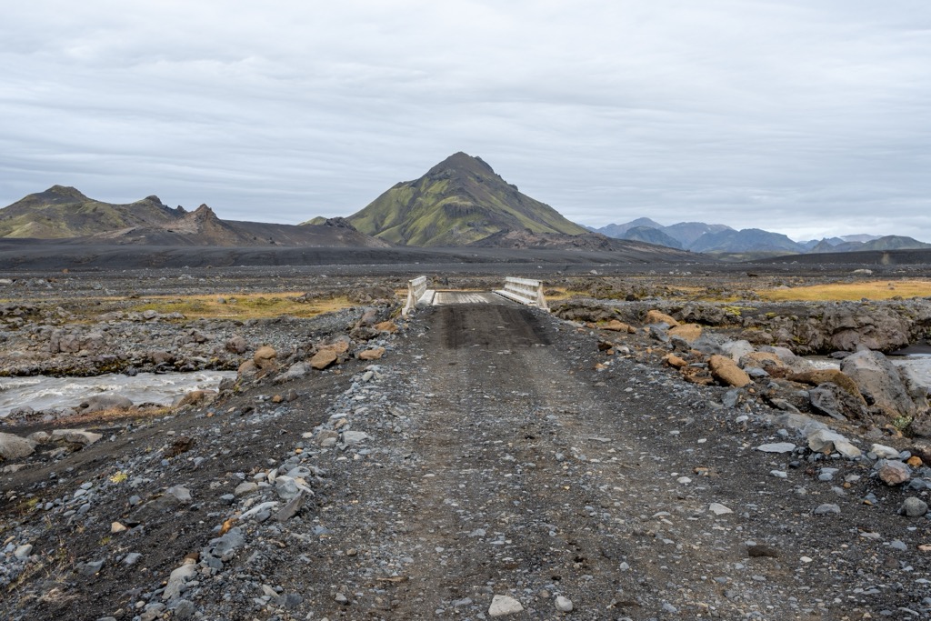
The Landmannaleið, once the longest trail in Fjallabak and now the F225 road, was created between 1895 and 1907. It stretches from Galtalækur in the east to Svartárnúpur in the west. At one point, 798 cairns marked the trail, many of which are still standing. In 1907, the first shelter was constructed at Landmannahellir, marked by cairn number 522.
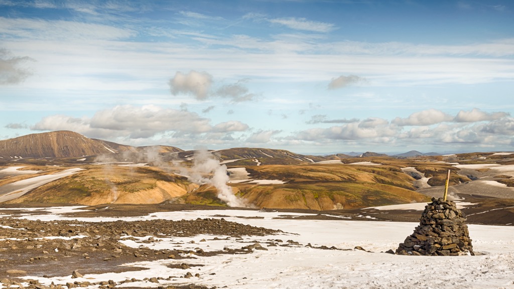
Since the creation of the Landmannaleið trail and increased knowledge of the area's resources, Fjallabak has become increasingly popular with farmers, hikers, and tourists.
Fjallabak Nature Reserve was created in 1979 to protect the region's unique landscape and wildlife.
Fjallabak Nature Reserve is one of Iceland's most popular hiking destinations, featuring some of the country's best day hikes and long-distance treks.
The average summer temperatures in Fjallabak Nature Reserve are between 5°C and 14°C (41 - 57℉). It can get cold even in the middle of July, so bring warm clothes. Take plenty of provisions, check local weather reports, and map your route carefully when hiking in Fjallabak Nature Reserve.
It's worth noting that the People's Pool hot springs, one of Fjallabak Nature Reserve's top attractions, are free of charge and an excellent way to relax after a long day of hiking. Please note there's a charge for using the hot springs' showers and changing rooms.
The best time to hike in Fjallabak Nature Reserve is from June to September — the F-roads to the Landmannalaugar Campground are closed in winter.
If you visit Landmannalaugar in summer between 8 a.m. and 3 p.m., you'll need to reserve a parking space, and the fee is 450 ISK per vehicle. You can make reservations on ust.is/reservations or through the Parka app.
Bláhnúkur (940 m / 3,100 ft), or Bláhnjúkur, is a volcano located in the southeastern area of Landmannalaugar. Its name means "blue peak" in English, referring to its blue-black slopes created by volcanic ash and lava.
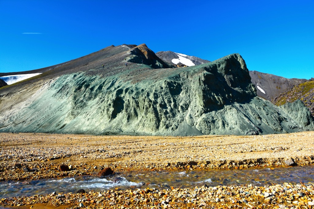
It's one of the highlights of Fjallabak Nature Reserve. Its summit provides views across the Laugahraun lava field and of six glaciers in the region.
The most popular route to Bláhnúkur begins from the Landmannalaugar Campground north of the volcano. The hike is relatively easy but sometimes steep and slippery. The trail is well-signposted with yellow markers.
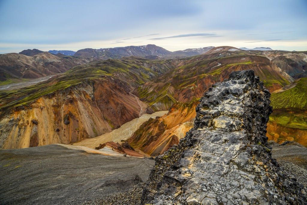
The trail leads west through the vibrant green Grænagil canyon before circling east up Bláhnúkur's slopes. The summit views are incredible, with numerous red mountains visible, like Suðurnámur (920 m / 3,018 ft) to the northwest, neighboring Brennisteinsalda (855 m / 2,890 ft) to the west, and the Barmur ridge to the east.
The Bláhnúkur looped trail is approximately 6 km (3.7 mi) in length.
Brennisteinsalda (855 m / 2,890 ft) is Bláhnúkur's western neighbor and another hugely popular mountain in Fjallabak Nature Reserve.
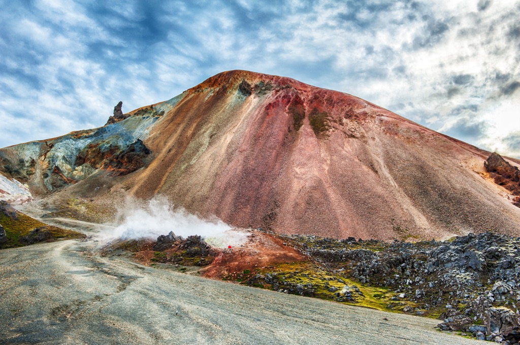
An active volcano that last erupted in 1961, Brennisteinsalda is among Iceland's most colorful volcanoes. In English, Brennisteinsalda means "sulfur wave" and certainly lives up to its name. Its slopes are predominantly red and yellow from iron and sulfur deposits. Green, black, and blue streaks, caused by moss, lichen, and volcanic ash, stain the volcano's slopes.
You can pick up the trail to Brennisteinsalda from the Landmannalaugar Campground. The hike is well-signposted and straightforward, with a few steep areas. It's possible to combine Bláhnúkur and Brennisteinsalda for a longer hike. The start of the Laugavegur long-distance trail passes by Brennisteinsalda.
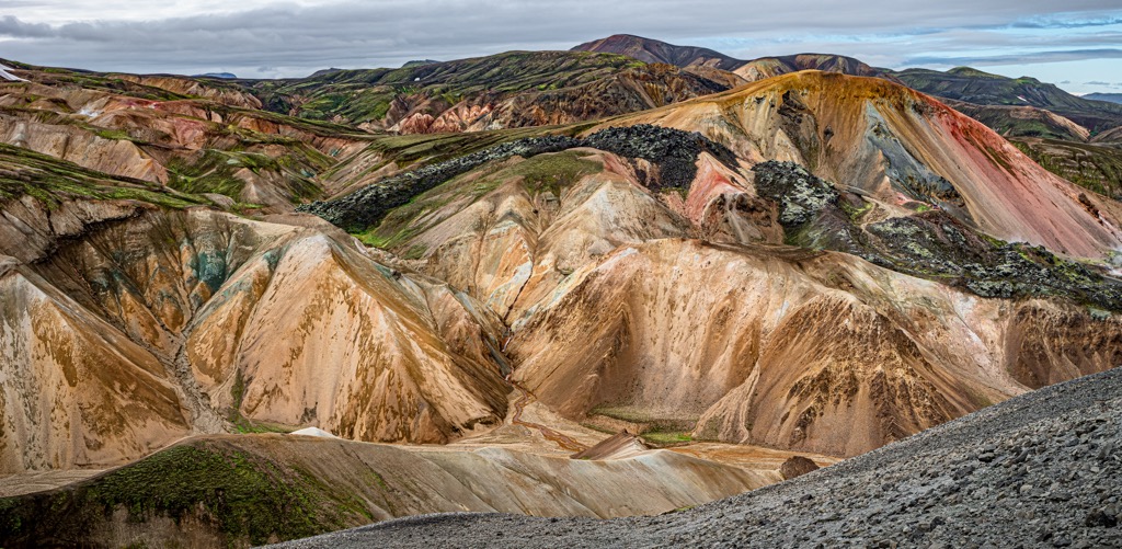
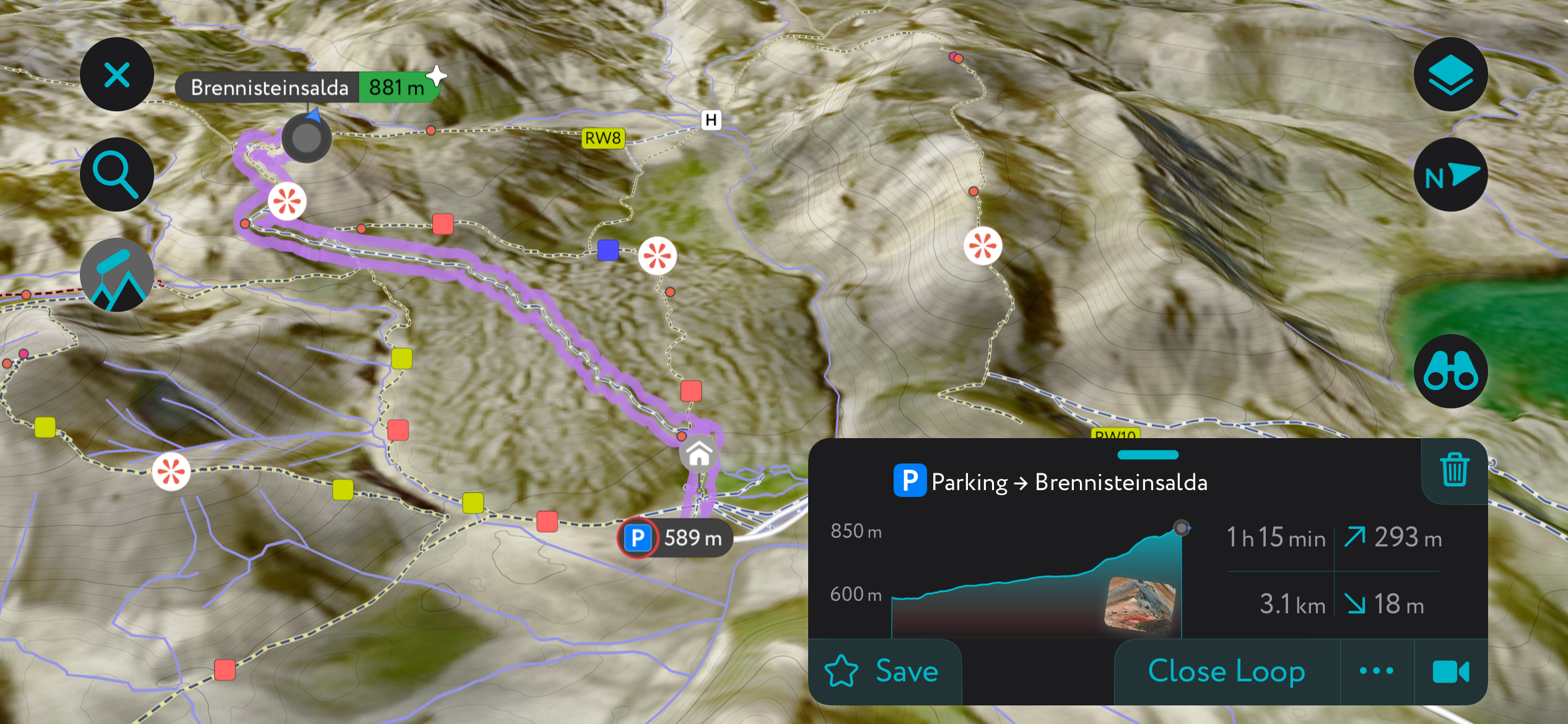
Start by following the Laugavegur trail's red markers for 2 km (1.2 mi) to reach the foot of Brennisteinsalda. Turn right and follow the green markers up the mountainside. The final stretch of the ascent is steep but worth it for the views.
From atop Brennisteinsalda, you can see the Vondugil Valley and the Laugahraun lava field. It's also one of the best places to view Bláhnúkur. This looped trail to Brennisteinsalda is approximately 6.5 km (4 mi) in length.
Suðurnámur (920 m / 3,018 ft) isn't as famous as Bláhnúkur or Brennisteinsalda, but its summit offers hard-to-match views in Fjallabak Nature Reserve.
To the south, there are extensive views across the Landmannalaugar's otherworldly rhyolite mountains and lava fields. To the east, you're treated to spectacular panoramas of the Tungnaá River.
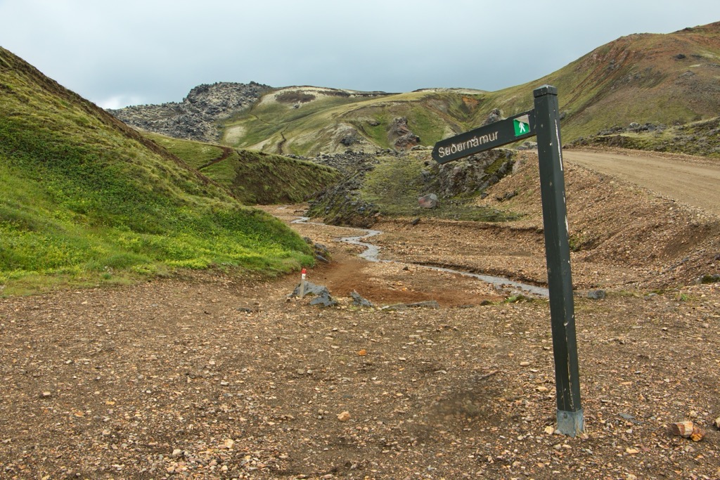
The trail to Suðurnámur begins at the Landmannalaugar Campground. Red signposts mark the trail, similar in difficulty to Brennisteinsalda and Bláhnúkur.
The trail starts climbing steadily uphill along a ridge with a couple of excellent viewpoints. Eventually, you'll reach a plateau before making your final ascent to Suðurnámur's summit. The descent of Suðurnámur loops south and back east to your starting point.
This looped trail to Suðurnámur is approximately 9 km (5.6 mi) in length.
Löðmundur (1,077 m / 3,533 ft) is an impressive mountain with a conical shape and sharp summit crest. It stands in isolation, overlooking Löðmundarvatn lake at the western end of Landmannahellir. It shouldn't be confused with Löðmundur (1,432 m / 4,700 ft) in the Kerlingarfjöll mountain range.
Löðmundur is a straightforward climb that rewards you with breathtaking views. Hekla (1,491 m / 4,892 ft), Rauðufossafjöll (1,221 m / 4,006 ft), Krakatindur (1,012 m / 3,320 ft), and all of Iceland's main glaciers are visible from the summit.
The trail to Löðmundur starts from Landmannahellir. Signposts guide you up the western side of the mountain. The hike up Löðmundur is approximately 8 km (5 mi) in length.
The Laugavegur is a 55 km (34 mi) trail that leads from Landmannalaugar to Þórsmörk. Locals and visitors widely regard Laugavegur as Iceland's most beautiful hiking trail, with National Geographic ranking it among the 20 best trails in the world.
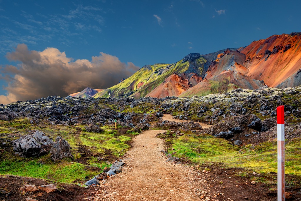
With its unique mix of painted mountains, obsidian lava fields, sizzling hot springs, and even lush forests, it's easy to see why the Laugavegur trail is internationally renowned. The Laugavegur trail is usually completed in four stages, each ending at a hut. Fog and snow can make the trail difficult to follow, so carefully map your route.
The Laugavegur Stage 1 leads from Landmannalaugar to the Hrafntinnusker Hut (1,100 m / 3,609 ft). It begins by passing through the Laugahraun lava field alongside Brennisteinsalda. Past the lava fields is a plateau with several geysers, including the 15 m (49 ft) wide Stórihver — a great spot to take a break. The Laugavegur Stage 1 is approximately 12 km (7.5 mi) in length.
The Laugavegur Stage 2 heads to the Álftavatn Hut (550 m / 1,804 ft) near Brattháls (763 m / 2,503 ft). Alternatively, you can avoid staying at Álftavatn and continue for 4 km (2.4 mi) to Hvanngil (1,804 m / 5,919 ft), which some hikers prefer.
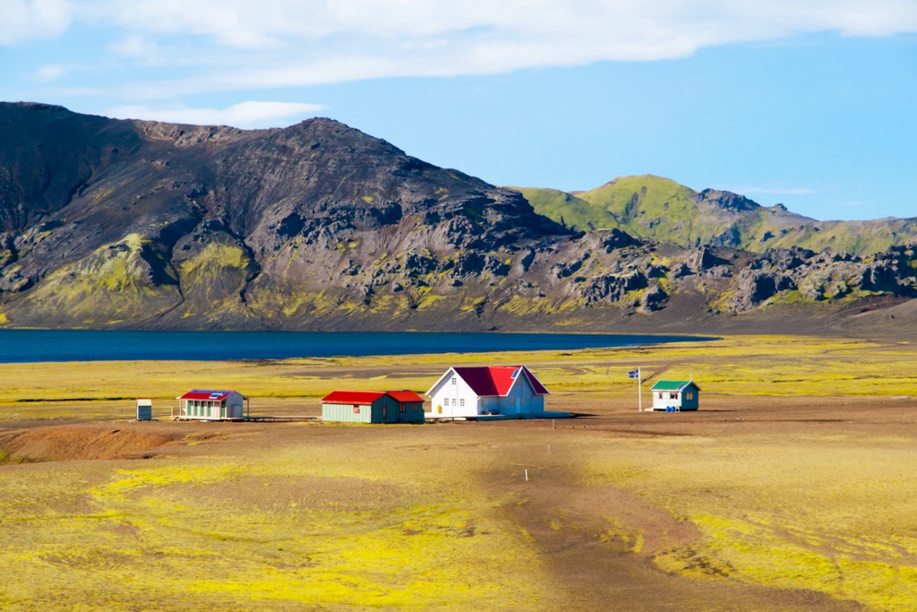
From Hrafntinnusker (1,141 m / 3,743 ft), you'll pass along the slopes of Reykjaföll (1,165 m / 3,822 ft), taking care while walking on thin ice over snow-filled ravines. At Jökultungur (919 m / 3,015 ft), it's possible to see three glaciers: Mýrdalsjökull (1,336 m / 4,383 ft), Eyjafjallajökull (1,510 m / 4,954 ft), and Tindfjallajökull (1,216 m / 3,990 ft). The Laugavegur Stage 2 is approximately 12 km (7.5 mi) in length.
The Laugavegur Stage 3 finishes at the Botnar huts at Emstrur (465 m / 1,526 ft). From Álftavatn, you'll cross the Bratthálskvísl River, pass Hvanngil, and then ford the Innri Emstruá River. This is an easy leg of the Laugavegur, featuring only a couple of hills to conquer. The Laugavegur Stage 3 is 16 km (10 mi) in length.
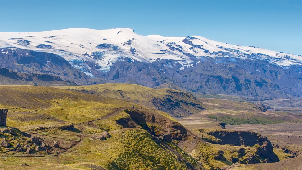
The Laugavegur Final Stage ends at Þórsmörk. This leg is mainly downhill, leading over the Fremri Emstruá River and through two ravines: Slyppugil and Bjórgil. Both ravines are ideal locations for lunch with a view. Past the Ljósá and Þröngá rivers - and one final hill - awaits Þórsmörk. The Laugavegur Stage 4 is approximately 15 km (9 mi) in length.
Iceland is not well-known for ski tours, but one of the country's most popular multi-day routes runs directly through the center of Fjallabak Nature Reserve.
Let's take a look at this ski tour and some of the new features on the PeakVisor App that make it the perfect companion app for your next winter expedition.
The Sigalda – Landmannalaugar – Þórsmörk is a varied and remarkable ski tour that follows a similar route to the Laugavegur trail. It's 70 km (55 mi) long and is usually completed in 4 days.
Day one leads from Sigalda to the north of Fjallabak to Landamannalaugar. Then, you'll walk from Landamannalaugar to Hrafntinnusker Hut (1,100 m / 3,609 ft) and onto Álftavatn. This ski tour ends in Emstrur (465 m / 1,526 ft). The best time to complete this tour is between February and April.
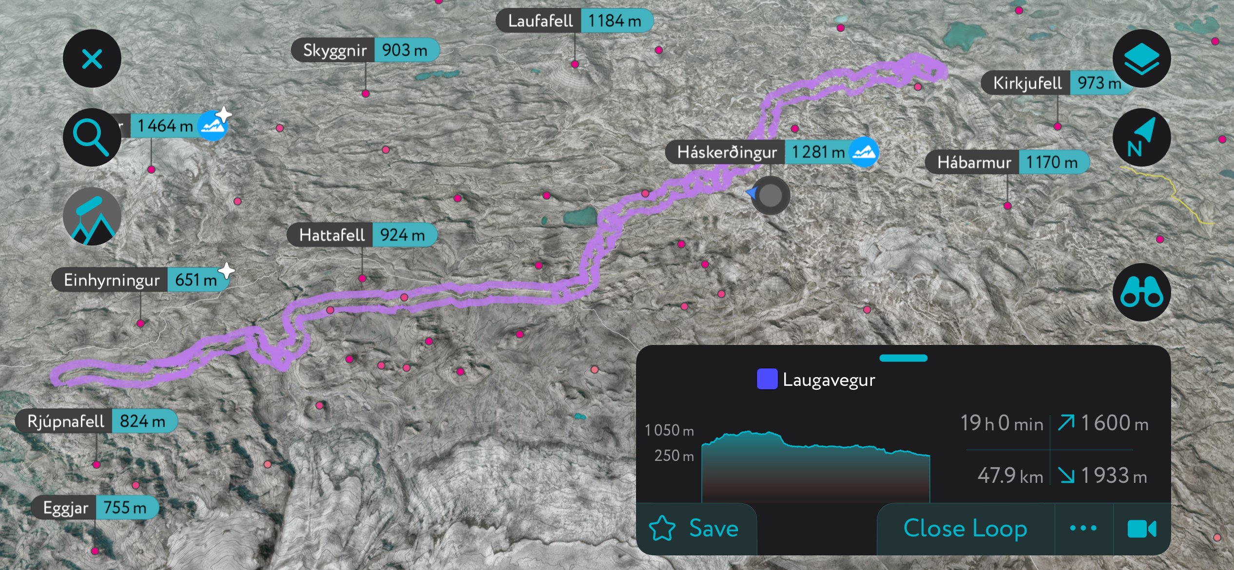
We've been hard at work making the PeakVisor App the pinnacle of mountain navigation and mapping apps.
Get the latest local weather reports and snow depths, and receive up-to-date information on mountain huts, including opening hours, dining options, and overnight accommodation.
Plus, the new "Discover" feature lets you quickly filter and view the best ski tours and hikes at any given location, helping you save time while searching for the best trails.
Fjallabak Nature Reserve is off the beaten track — you'll need to hire a car or join a tour group to reach the area. As mentioned, you'll want to reserve parking when visiting Fjallabak in summer, and F-roads are closed in winter.
The nearest international airport to Fjallabak Nature Reserve is Reykjavík International Airport, located 170 km (105 mi) to the west.
Reykjavík is Iceland's capital and largest city. It's Iceland's largest metropolitan area by far — roughly 63% of the country's population lives in Greater Reykjavík.
Located on the Reykjanes Peninsula in Iceland's southwest corner, Reykjavík is the country's commercial, cultural, and transport hub. It's home to the country's top human-made landmarks, like Hallgrímskirkja, the Sun Voyager, and Perlan.
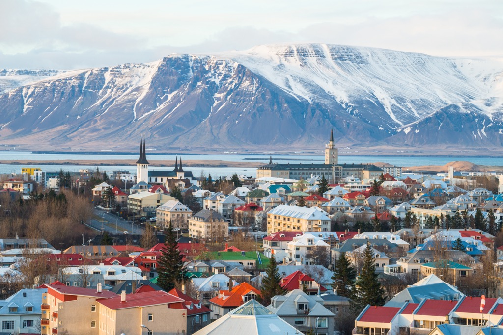
Staying in Reykjavík allows you to explore Reykjanesfólkvangur, a nature reserve located 25 km (15.5 mi) south of the city.
Reykjavík is located approximately 150 km (93 mi) west of Fjallabak Nature Reserve. You can book several multi-day tours of Fjallabak, most of which leave from Reykjavík BSI central bus terminal.
Bus services, like Highland Bus, also run from Reykjavík BSI central bus terminal through Selfoss and Hella to Landmannalaugar.
Selfoss is the largest settlement near Fjallabak Nature Reserve, with a population of roughly 10,000. It's located approximately 100 km (62 mi) west of Fjallabak.
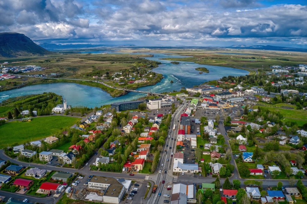
Selfoss is on the edge of the Golden Circle, Iceland's most popular sightseeing route. Numerous hotels and amenities in and around the town make it an excellent base from which to explore Fjallabak Nature Reserve.
On your way to Fjallabak, consider stopping off to hike up Hekla (1,491 m / 4,892 ft), one of Iceland's most active volcanoes.
Hella is a small town in southern Iceland with a population of under 1,000. It's a popular tourist destination because it's one of the nearest significant towns to Fjallabak Nature Reserve, which is located roughly 85 km (53 mi) to the northeast.
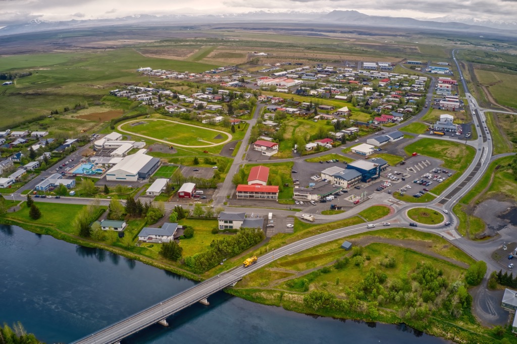
Hella is also popular due to its location near the Hekla stratovolcano and Þórsmörk, a popular hiking area and the endpoint of the Laugavegur hiking trail. Both Þórsmörk and Hekla are less than an hour's drive from Hella.
Explore Friðland að Fjallabaki with the PeakVisor 3D Map and identify its summits.


