Scan the QR code and open PeakVisor on your phone
The Finlay-Russel Provincial Park is a park located in northern British Columbia in Canada. Though its own distinct park, the Finlay-Russel Provincial Park is part of the larger Muska-Kechika Management Area. The park was established back in 2001 and today spans just over 420 square miles across British Columbia. There are 12 named mountains in Finlay-Russel Provincial Park. The highest and the most prominent mountain is Mount Cushing at 8,625 feet of elevation gain and 4,334 feet of prominence.
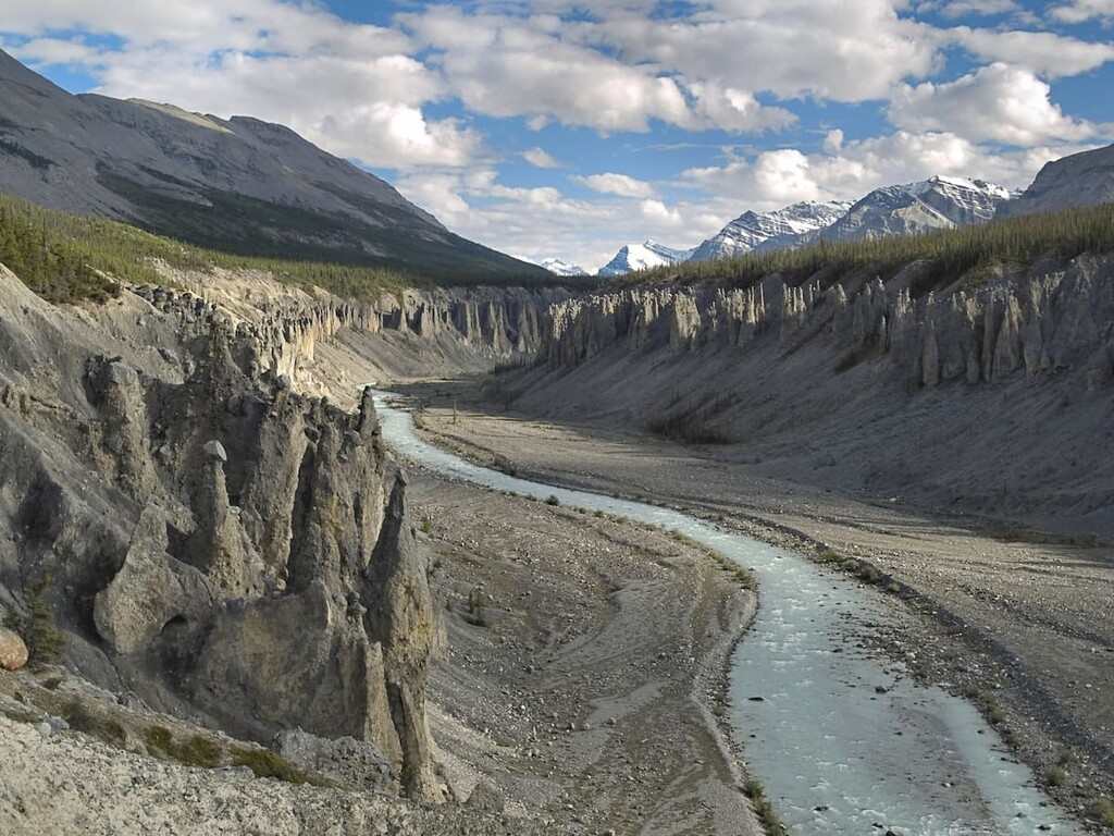
A majority of the park consists of land that lies along the Finlay River corridor. The edges of the park are marked by both the Fox River confluence and the Toodoggone River confluence. The remote nature of the park means that it does not receive many annual visitors. The park was established back in 2001 as a way to further protect the fish and wildlife that relied on the Finlay River and its surrounding habitats. The park also holds significance for First Nation groups of the region and protects part of the First National trail. This section of the trail extends from Kwadacha to Caribou Hide as well as the Stikine country. The protected waterways and surrounding land are home to various types of trout, Arctic grayling, as well as moose, caribou, mountain goats, and sheep.
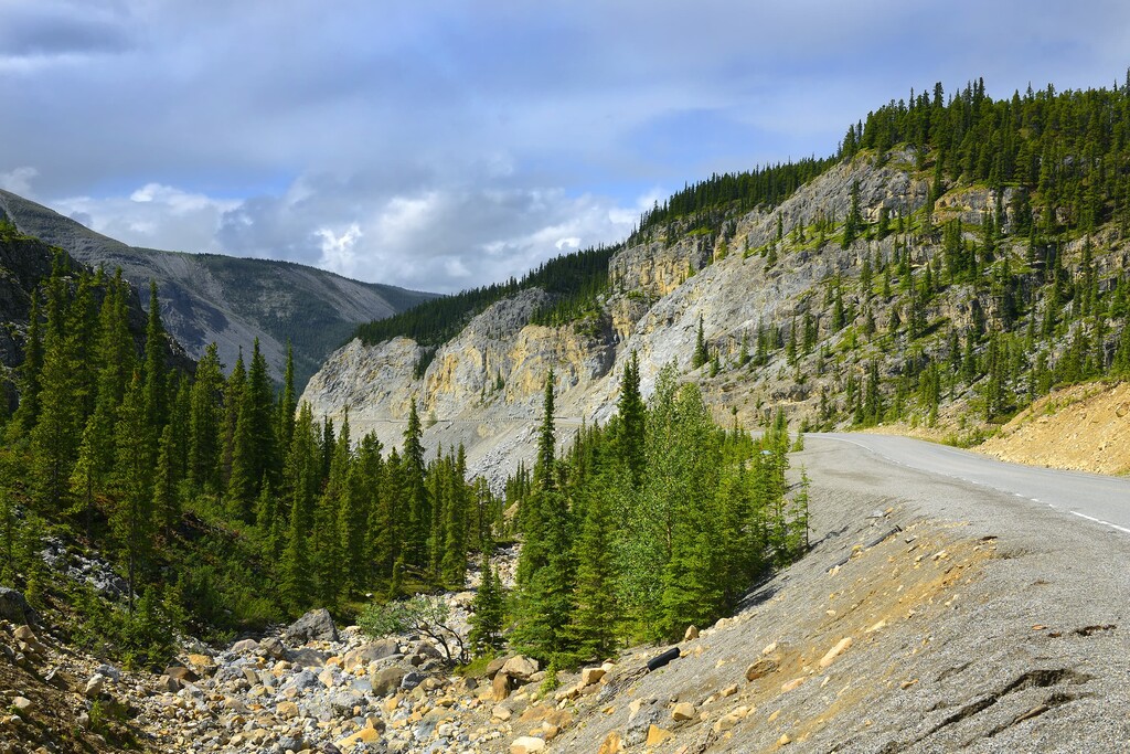
The park is incredibly remote and the trails are not regularly maintained. Though there aren’t any designated campgrounds, the Finlay-Russel Provincial Park is often used for remote backpacking with primitive campgrounds throughout. Many of the roads in the park are unpaved so it is recommended that four-wheel drive vehicles are used. Activities in the park include hiking, mountain biking, hunting, fishing, and horseback riding.
Maintained trails are often difficult to find within the Finlay-Russel Provincial Park. The nearby Stone Mountain Provincial Park provides more easily accessible trails. These popular trails include Summit Peak, Erosion Pillar, Flower Springs Lake, and Summit Lake.
Fort Nelson: The nearest city to Finlay-Russel Provincial Park is Fort Nelson. The small community has a population of around 3,500. Fort Nelson is just on the east side of the Rocky Mountains in what is known as the Peace River Region. The community is located along the Alaska Highway at milepost 300. There are not many cities in the area and the nearest urban city is Fort Saint Johns, located four hours away. Fort Nelson sits at the confluence of the Fort Nelson River, Prophet River, and the Muskwa River. The close proximity to Stone Mountain Provincial Park, and other nearby regions, attracts tourists to the area to hike, hunt, fish, view the wildlife, and go camping. Other nearby parks include Liard Hot Springs, Stone Mountain Provincial Park and the Smith River Falls-Fort Halkett Provincial Park.