Get PeakVisor App
Sign In
Search by GPS coordinates
- Latitude
- ° ' ''
- Longitude
- ° ' ''
- Units of Length

Yes
Cancel
❤ Wishlist ×
Choose
Delete
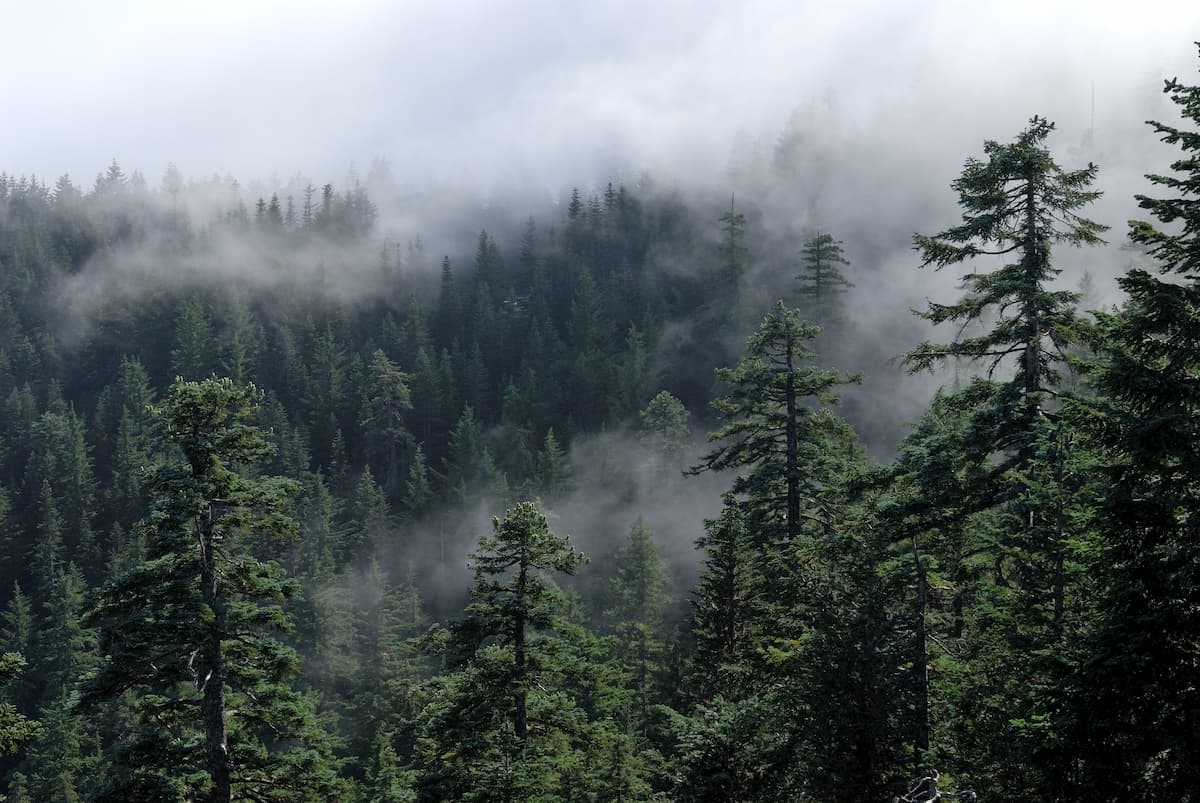
The Elliott State Forest is located on the central coast of Oregon. The forest lies between Coos Bay and Reedsport amongst the Oregon Coast Range. There are 6 named mountains in Elliott State Forest. The highest and the most prominent mountain is Elk Peak at 2,100 feet. The forest spans 93,000 acres with 41,000 acres of old growth forest. This forest is also known for being the first state forest in Oregon and was named after the first forester, Francis Elliott.

The forest is surrounded by three separate clear-cut areas, making it a safe haven for local wildlife such as marbled murrelet, northern spotted owl, elk, and salmon. The Oregon Coast is known for the Coho salmon population, with 22% of this salmon originating in the Elliott streams and rivers.
Elliott State Forest was established back in 1930. Nearly 90% of the forest is managed as an asset to the Common School Fund to help public schools. This means that the revenue from the forest is given to public schools. Each year the forest generates millions of dollars from harvesting approximately one percent of the forest and selling the timber. While the forest is open to the public, it does not have a network of trails making hiking difficult.
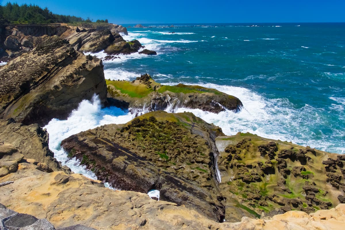
The nearest city to the Elliott State Forest is Coos Bay. A small coastal town, Coos Bay has a population of approximately 16,000 with the surrounding region totaling 32,000. This quaint coastal town is surrounded by protected nature including Oregon Dunes National Recreation Area, Bastendorf Beach County Park, Yoakam Point State Park, and many more. The coastline surrounding the bay offers an abundance of space for aquatic based activities.

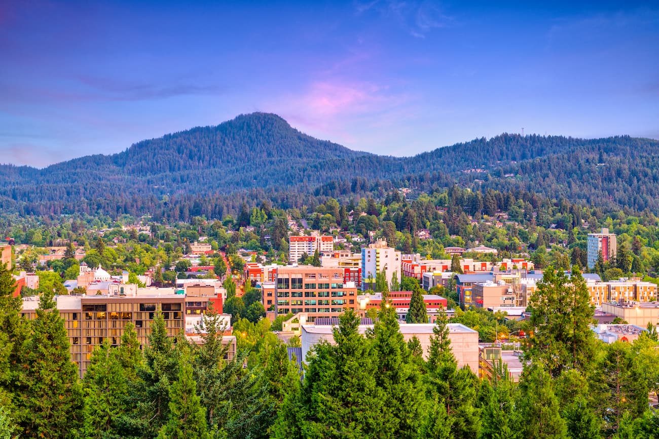
Known as “Track Town, USA”, Eugene is a runner’s paradise. With a population of nearly 200,000, the city is the largest within central Oregon. The city is located two hours south of Portland, and just one hour south of Salem, Oregon’s state capitol. Eugene is the closest major city to the Siuslaw National Forest with many small towns located on the Oregon coast. The town is known for its focus on environmentalism and abundance of recreation activities including biking, hiking, rafting, and of course, running. Eugene is also where the Nike corporation began. Be sure to check out the Lane County Farmers’ Market or grab a bite to eat at one of the many local restaurants.

Explore Elliott State Forest with the PeakVisor 3D Map and identify its summits.


