Get PeakVisor App
Sign In
Search by GPS coordinates
- Latitude
- ° ' ''
- Longitude
- ° ' ''
- Units of Length

Yes
Cancel
❤ Wishlist ×
Choose
Delete
Peaceful woodland walks and lakeside strolls await hikers at Germany's Eifel National Park. There are 24 named mountains in Eifel National Park. Sonntagshügel (671 m/2,201 ft) is the highest point. The most prominent mountain is Hellberg (550 m/1,804 ft).
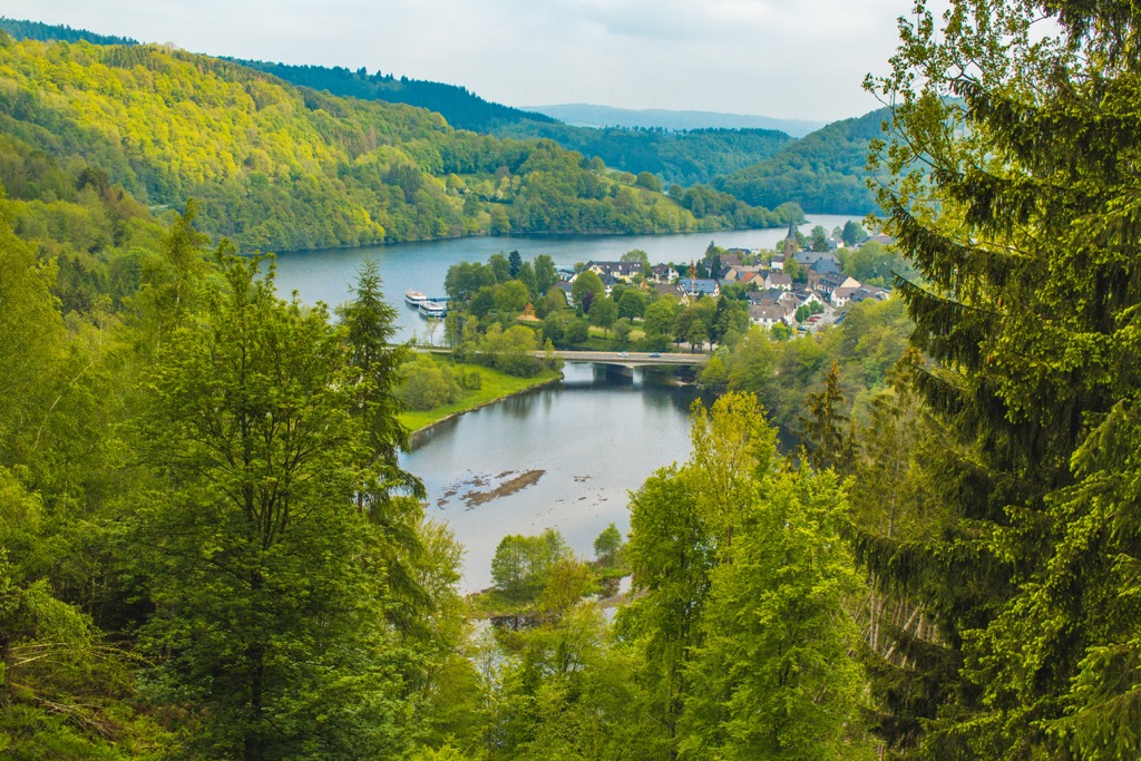
Eifel National Park is a national park located in western Germany. It covers an area of approximately 110 sq km (42.5 sq mi) and is the only national park in North Rhine-Westphalia.
Eifel National Park centers around North Eifel, the northern section of the Eifel, a heavily forested low mountain range that stretches across western Germany and eastern Belgium.
At the center of the park is the 33 sq km (12.7 sq mi) Dreiborn Plateau (Dreiborner Hochfläche). With its open heathlands and views of the surrounding countryside, the Dreiborn Plateau is one of North Eifel's most popular areas.
Eifel National Park is a part of the larger High Fens – Eifel Nature Park (Naturpark Hohes Venn – Eifel). This cross-border park encompasses an area of 2,485 sq km (959 sq mi) across the German states of North Rhine-Westphalia and Rhineland-Palatinate, as well as the province of Liège in Belgium.
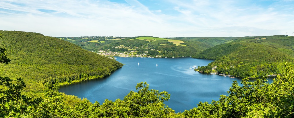
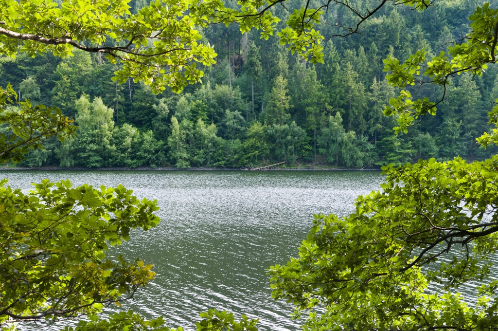
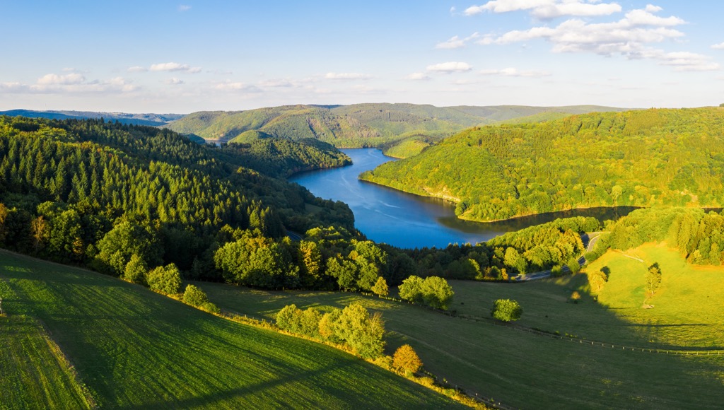
There are several significant rivers in Eifel National Park such as the River Uft, which snakes its way through the middle of the park. The river's 58 m (190 ft) high Uft Dam (Urfttalsperre) has created the Urft Reservoir (Urftstausee), which covers an area of 2.16 sq km (0.8 sq mi) near the park's center.
On the park's north side is the River Rur, which features the 77 m (252.5 ft) high Rur Dam (Rurtalsperre Schwammenauel) and the 7.8 sq km (3 sq mi) Rur Reservoir (Rurstausee).
The closest significant town to Eifel National Park is Schleiden. Schleiden is split into 18 settlements, including Schleiden's center and Gemünd. Eifel National Park's headquarters are located in Schleiden-Gemünd.
Other notable settlements near Eifel National Park include Simmerath, Monschau, and Heimbach. Aachen, Germany's westernmost city, is located less than 40 km (25 mi) from Eifel National Park.
The geological basement of the North Eifel began forming 550 to 440 million years ago during the Ordovician and Cambrian periods. During this time, North Eifel lay below a sea, where marine sediment was deposited and folded into Devonian slate, limestone, and sandstone. Deposits of brachiopods and spore plants formed into fossils.
These rocks formed due to the Caledonian orogeny, a mountain-building event that helped create many mountain ranges across the British Isles and Scandinavia.
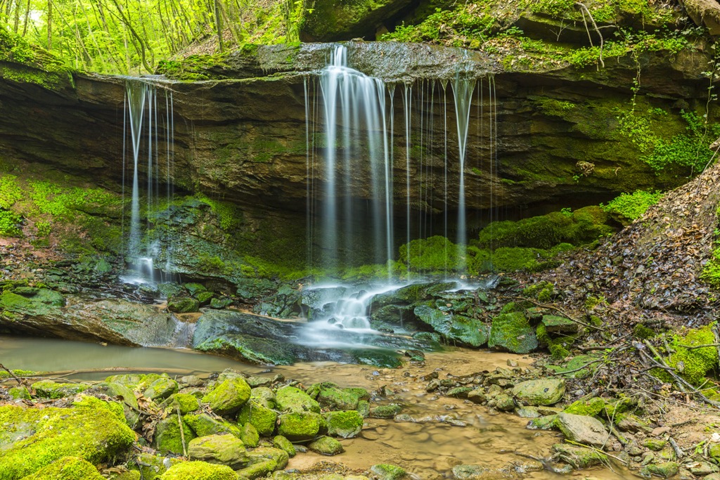
In the Devonian and Carboniferous periods, approximately 420 to 300 million years ago, during the Variscan orogeny erosion, material from the supercontinent Laurasia was deposited south of the equator and folded. Most of the Eifel mountain range consists of rocks from this orogeny.
Currently, North Eifel's surface is composed primarily of Devonian rocks. However, certain areas have been overlaid in more recent geological periods.
In small areas, Buntsandstein sandstone was deposited during the Triassic and early Mesozoic periods, approximately 250 to 200 million years ago. These deposits can be found at the park's northern end in Hetzinger Forest (Hetzinger Wald).
Today, North Eifel is a low mountain with only two summits exceeding 600 m (1,968 ft) in elevation. Aside from the park's highest mountain, Sonntagshügel (671 m/2,201 ft), notable summits in Eifel National Park include Wahlerscheid (641m/2,103 ft), Girvelscheid (590 m/1,936 ft), and Hellberg (550 m/1,804 ft).
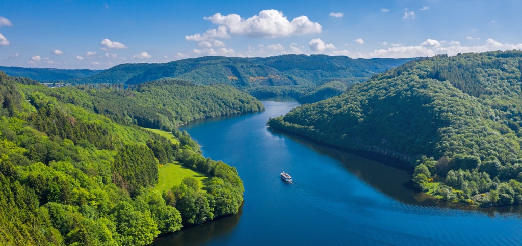
The dense forests, open meadows, and numerous streams of North Eifel are home to an array of flora and fauna. Read to learn about Eifel National Park's wildlife.
Red deer are the largest animals found within Eifel National Park. There are thought to be over 1,000 red deer inhabiting the park. Other notable mammals include raccoon dogs, stone martins, ermines, and mouflons.
The Eifel and the neighboring Ardennes are home to one of the largest populations of European wildcats in Central Europe. Despite this, the park's wildcats are rarely seen, hunting mainly around dusk and dawn.
One of the park's smallest but most interesting mammals is the Mediterranean water shrew. It's critically endangered in Germany, and very little is known about its range. It's also one of the only venomous mammals on the planet. However, this venom does not affect humans.
The forests and meadows of Eifel National Park are awash with rare and fascinating bird species. One of the rarest is the black stork, which almost went extinct but has recovered thanks to conservation efforts.
Another interesting bird species is the Eurasian wryneck, which is famous for its snake mimicry. It's one of six woodpecker species that inhabit Eifel National Park. Other notable bird species include peregrine falcons, kingfishers, eagle owls, and gray herons.
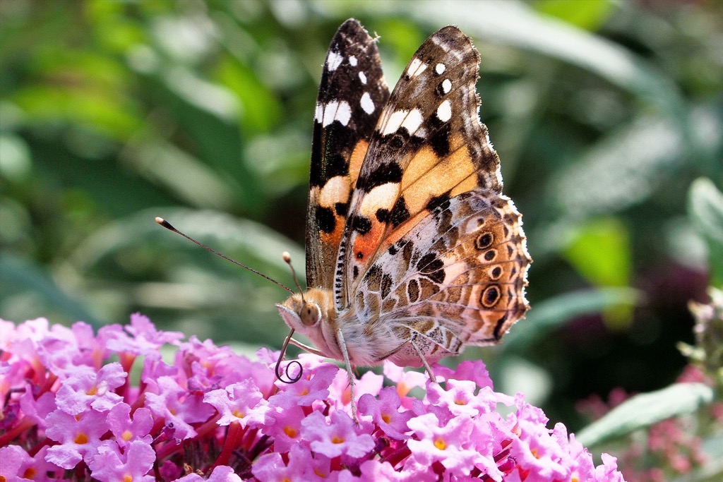
Of the park's numerous insect species, the painted lady butterfly is one of the greatest wanderers, migrating from as far away as North Africa to reproduce in the Eifel. Other insect and arachnid species worth highlighting include cranberry fritillaries, wart-biters, and pseudoscorpions.
The forests of North Eifel were originally dominated by deciduous trees, predominantly beech trees. However, due to human intervention, the make-up of these forests has changed considerably over the past 150 years.
Due to their ability to grow much quicker than beech trees, coniferous trees such as spruces were planted for commercial use. Due to these plantations, over 40 percent of the trees in Eifel National Park are now conifers. One of the park's main goals is to replace these spruce forests with natural deciduous forests over the course of several decades.
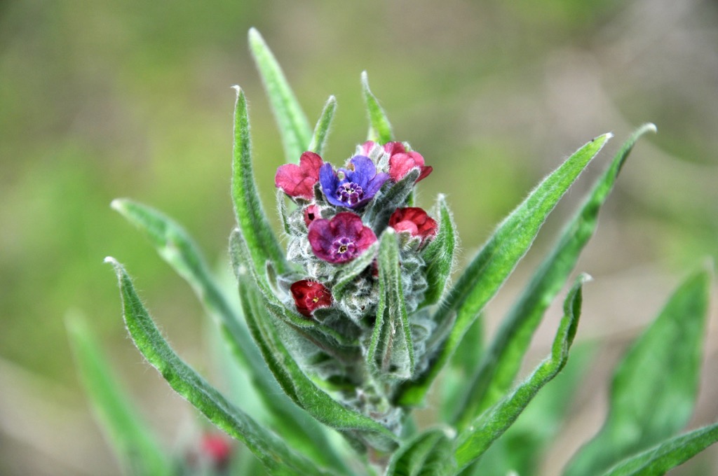
One of the rarest flowers in Eifel National Park is the green houndstongue, which grows only in low mountain ranges. The only place it can be found in Germany is in North Rhine-Westphalia, almost exclusively within Eifel National Park.
Other notable flowering plants that grow within Eifel National Park include lilies of the valley, fragrant orchids, spotted orchids, and evening primroses.
There are also several unique and surprisingly vibrant fungi that grow within Eifel National Park. One of the highlights is the octopus stinkhorn, which likely came from Asia or Australia and is instantly recognizable due to its red and black arms.
Another interesting fungi species is the tinder fungus, which is highly flammable when dried out and has been used as kindling for thousands of years.
Humans have inhabited the Eifel region since roughly the Paleolithic period. Human remains discovered in the Magdalena Cave (Magdalenahöhle) suggest the area was even visited during the height of the last glacial period.
By the Iron Age, the Hunsrück-Eifel culture, a Celtic cultural group, had begun living in the region and smelting iron. By the dawn of the Roman Empire, Eifel was an important economic center, producing large quantities of zinc, lead, limestone, and iron.
In the late Middle Ages, Eifel lay right on the border between several states and principalities of the Holy Roman Empire: the Duchy of Jülich, the County of Luxembourg, the Electoral Cologne, and the Electoral Trier. As a result, the Eifel was subjected to lots of fighting, with many old castle ruins in the region.
The shipbuilding industry and demand for charcoal and pit props decimated the forests of the Eifel that by 1800 the area had more meadows and heathlands than woodlands.

By the time the Eifel became a part of Prussia, it had little use other than militarily. However, Prussia carried out large-scale reforestation with coniferous trees.
Due to the Eifel's position on the Germany-Belgium border, it was involved in many battles during the Second World War, including the Battle of the Bulge. Evidence of these battles can still be seen in North Eifel, with the ruins of bunkers and battlements scattered across the landscape.
The Eifel National Park was established in 2004 as a "National Park in Development." Parks in this category can support the area's ecosystem for 30 years, so it can return to its natural state. In Eifel National Park's case, this process involves removing and replacing coniferous forests with mixed natural beech forests.
You'll find approximately 240 km (149 mi) of hiking trails to explore during your visit to Eifel National Park. Before you set out, ensure you map your route, inform others of your itinerary, and bring enough food and water.
While exploring the Dreiborn Plateau, do not leave the marked paths. The plateau was used as the Vogelsang military training area until 2005, and explosive ordinance may still pose a risk to hikers.
Pay a visit to one of the four national park gates if you're looking to learn more about Eifel National Park. You can find these gates in Simmerath-Rurberg, Heimbach, Monschau-Höfen, and Nideggen.
Read on to learn more about some of Eifel National Park's best hikes.
The Dreiborn Plateau is located at the heart of Eifel National Park and is one of its most popular areas. There are roughly 50 km (31 mi) of trails on the Dreiborn Plateau, which explore the hills to the south, the central heathlands, and the old-growth forests.
If you're looking for a quick and easy hike across the dreiborn Plateau should consider following the Dreiborn Plateau in a Nutshell (Die Dreiborner Hochfläche in der Nussschale) trail.
This short path starts at the Red Deer Gallery (Rothirsch-Empore) just north of the town of Dreiborn. From here, the trail follows a stretch of an old tank road before passing through a small valley and a newly developing forest. This walk is 3.5 km (2.1 mi) in length and takes approximately 1 hour to complete.
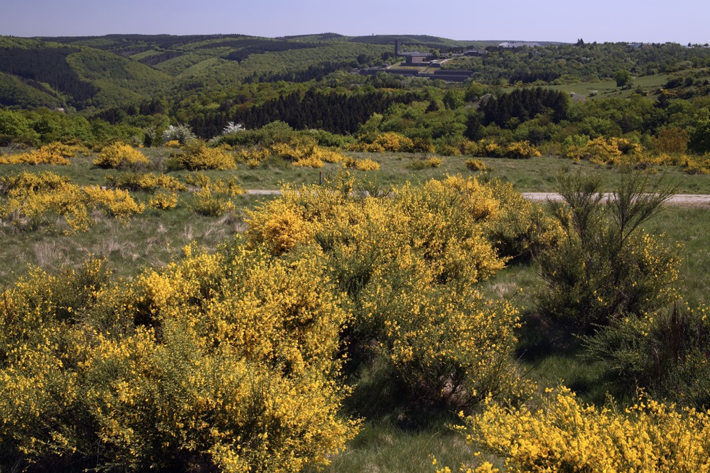
Or, you can take a longer and more difficult trail that takes in more of the Dreiborn Plateau. The Deserted with a View (Wüstung mit Weitblick) trail starts from the Red Deer Gallery. This walk is 13 km (8 mi) in length and 3 or 4 hours to complete.
The Deserted with a View trail leads to the ghost town of Wollseifen, which was abandoned for military training purposes. You'll also pass through Sauerbachtal, a charming meadowed valley.
Der Wadenbeißer, or The Calf-Biter, is one of the park's most challenging day trails but is well worth the effort. The trail offers insight into the North Eifel's history and landscape, with some stunning views along the way.
From the Red Deer Gallery, this walk takes you across a short section of the Dreiborn Plateau to the abandoned settlement of Wollseifen. Then, you'll pass through the resort of Einruhr to the Eifelhaus, a popular restaurant overlooking the Obersee.
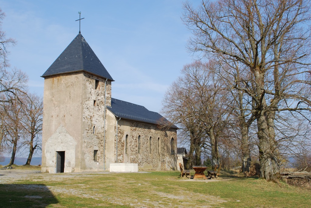
One of the highlights of this walk is the Wolfshügel viewpoint, which offers unmatched views of the Rurtalsperre Valley. Finally, you'll pass over Müsauelsberg (578 m/1,896 ft) before returning to your starting point.
Der Wadenbeißer is 25.2 km (15.6 mi) in length and takes around 7 hours to complete.
Sat on the southern edge of Eifel National Park is the park's second highest point, Wahlerscheid (641 m/2,103 ft). While walking on the slopes of Wahlerscheid, you can see Eifel National Park's forest management in action.
Park employees are slowly working to replace Eifel's spruce forests with natural mixed beech forests, which would be typical for the area. One of the best ways to explore Wahlerscheid is on the looped trail starting from the Wahlerscheid car park (Parkplatz Wahlerscheid).
The trail leads through the forest development area before reaching the Döppeskaul, a broad flat valley. This trail is 5.9 km (3.6 mi) in length and takes approximately 1 hour and 30 minutes to complete.
The Wilderness Trail (Wildnis-Trail) is Eifel National Park's premier long-distance hiking trail. This route runs for 85 km (53 mi) from the park's southernmost point at Höfen National Park Gate (Nationalpark-Tor Höfen) to its northernmost point at Hürtgenwald-Zerkall.
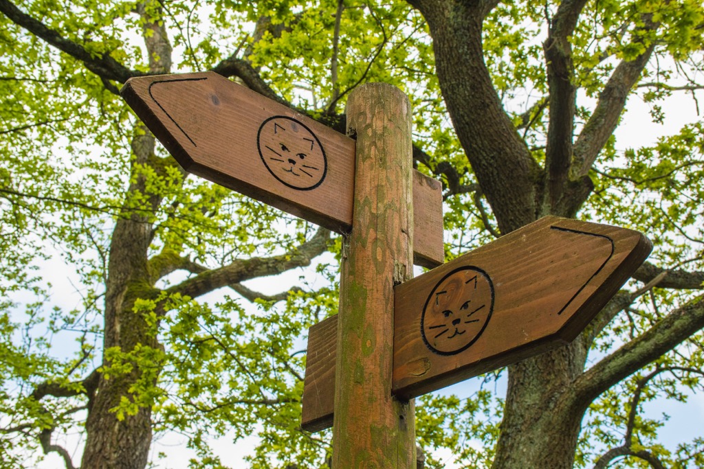
The Wilderness Trail is usually split into four stages, ranging from around 18 km (11 mi) to 24 km (15 mi) in length. The trail system is easy to follow as it's marked with wildcat symbols.
The first stage from Höfen to Einruhr is the most difficult, covering 23.9 km (14.8 mi) with significant elevation changes. The first stage takes approximately 7 hours to complete.
On the first stage, you'll pass through the beautiful Erkensruhr Valley (Erkensruher Tal) and onto the slopes of Müsauelsberg (578 m/1,896 ft) before reaching an observation point with stunning views of the Obersee.
The second stage from Einruhr to Gemünd is 20 km (12.4 mi) in length and takes approximately 6 hours to complete. Along this stage is the Eifel National Park Center at the former NS Ordensburg Vogelsang. From the Urftstaumauer vantage point, there are excellent panoramas of the Urft Dam and the Urftsee.
The third stage from Gemünd to Heimbach is 22.3 km in length and takes approximately 6 hours and 30 minutes to complete. You'll walk through the forests along the Kermeter ridge and past the Mariawald Abbey (Abtei Mariawald), a former monastery for Trappist monks.
The fourth and final stage from Heimbach to Zerkall is 17.8 km (11 mi) in length and takes approximately 5 hours to complete. This stage will take you through Hetzinger Forest to near the summit of Rossberg (396 m/1,299 ft).
Eifel National Park is home to some idyllic vacation destinations from lakeside resorts to quaint hamlets. Read on to learn about the main towns and cities near Eifel National Park.
Aachen is Germany's westernmost city and the closest major settlement to Eifel National Park. Aachen is a multicultural city due to its location on the border between the Netherlands and Belgium. Founded as a Roman thermae, Aachen was the preferred residence of Charlemagne, the first Holy Roman Emperor and King of the Franks.
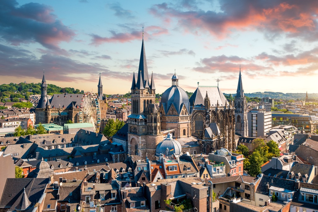
Tourists flock to Aachen to visit Aachen Cathedral (Aachener Dom). One of the oldest cathedrals in Europe, Aachen Cathedral was constructed under the orders of Emperor Charlemagne, who was buried in the cathedral in 800 CE. The cathedral is lavishly decorated with ornate reliquaries and a mixture of architectural styles.
Popular hotels in Aachen include Leonardo Hotel, Aquis Grana City Hotel, and Hampton by Hilton.
The town of Schleiden is considered the capital of Eifel National Park. It's home to the park's offices and is the largest settlement in the national park. Schleiden is split into 18 small hamlets—the park offices are located in Gemünd-Schleiden.
Schleiden's main landmark and attraction is Schleiden Castle (Schloss Schleiden), an imposing structure that dates back to the twelfth century. Art enthusiasts should also consider taking a tour of the ArtForum Eifel (KunstForum Eifel) in Gemünd.
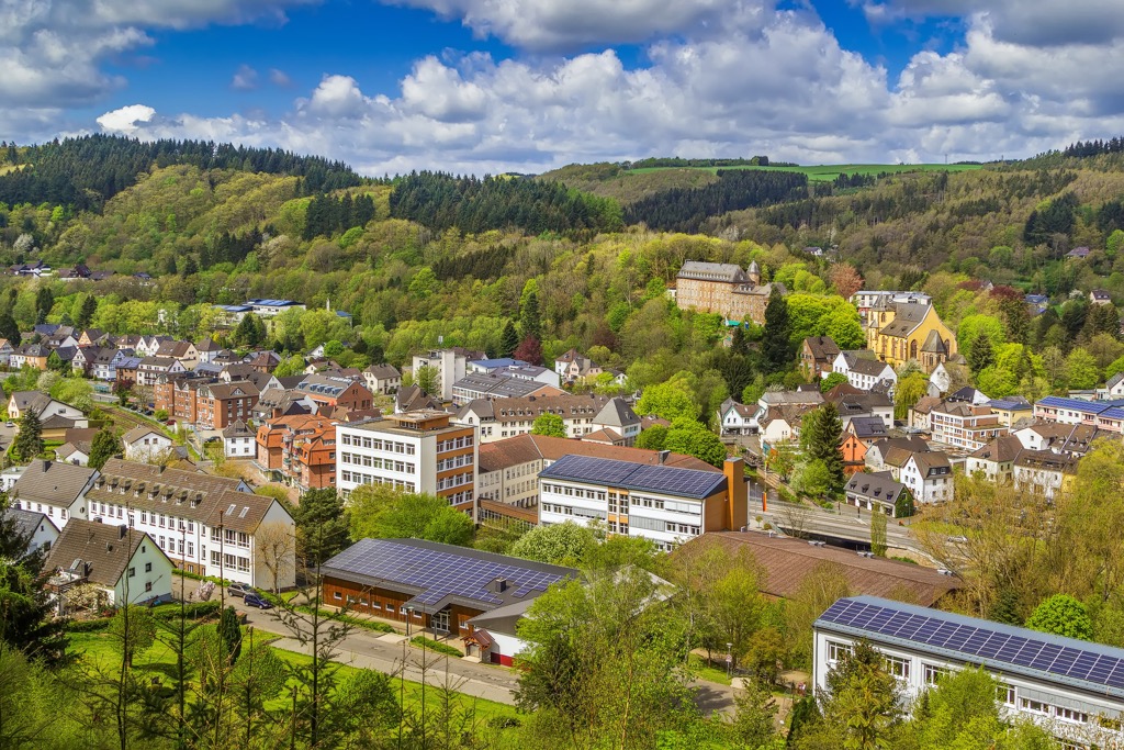
Popular hotels in Schleiden include Katharinenhof Hotel and Pension Zum Alten Rathaus.
Located on Eifel National Park's northern boundary is Heimbach. The smallest town in North Rhine-Westphalia, Heimbach is a popular tourist destination with locals looking to escape nearby big cities like Cologne and Aachen.
Despite its size, Heimbach is home to some great attractions like the Mariawald Abbey, which was the last remaining Trappist monastery in Germany until the last monks left in 2018.
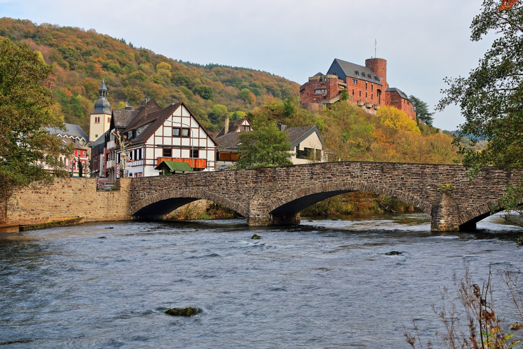
Another popular sight is Hengebach Castle (Burg Hengebach). This twelfth-century castle built atop a 216 m (708 ft) tall hill provides sweeping views of the surrounding countryside.
Popular hotels in Heimbach include Astoria Hotel, Art-Hotel Eifel, and Der Seehof Hotel.
Perched right on the Germany-Belgium border is the resort town of Monschau. This classic German town is famed for its historic center, which has gone unchanged for 300 years and features many well-preserved timber-framed houses.
Sat on a hilltop overlooking the town is the thirteenth-century Monschau Castle (Burg Monschau), which is currently used as a performance venue and youth hostel. If you're looking for the best views of this beautiful town, hike up to the Haller Ruins (Haller-Ruine).
Popular hotels in Monschau include Hotel Horchem, Burghotel, and Michel & Friends Hotel.
Resting on the southern edge of the Obersee is the village of Einruhr. Einruhr has been a popular vacation destination since the 1950s as it offers some of the best swimming spots on the Obersee, including a natural swimming pool.
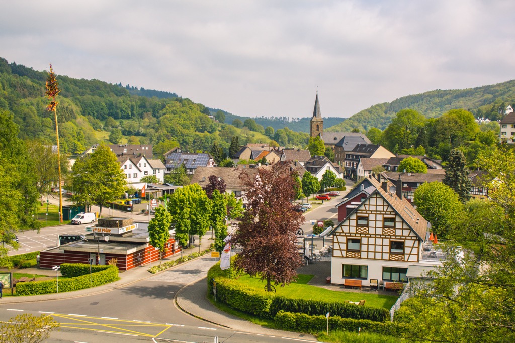
You'll be well-placed to explore some of the best hiking trails in Eifel National Park during your stay in Einruhr, with the likes of Müsauelsberg (578 m/1,896 ft) less than 5 km (3 mi) away. Einruhr itself is also very attractive, with its many traditional half-timbered L-shaped farmhouses called Winkelhofs.
Popular hotels in Einruhr include Hotel Seemöwe and Hotel Schütt.
Explore Eifel National Park with the PeakVisor 3D Map and identify its summits.


