
Scan the QR code and open PeakVisor on your phone
Dunn Peak Protected Area is a protected area located in central British Columbia, Canada. The park covers 48,300 acres of land. There are 5 named mountains in Dunn Peak Protected Area. The highest and the most prominent mountain is Dunn Peak standing at 8,638 feet. The protected area stretches from North Thompson River in the west, including the alpine regions of Dunn Peak, and heads eastward to the bottom of Harper Creek located in the Shuswap Highlands.
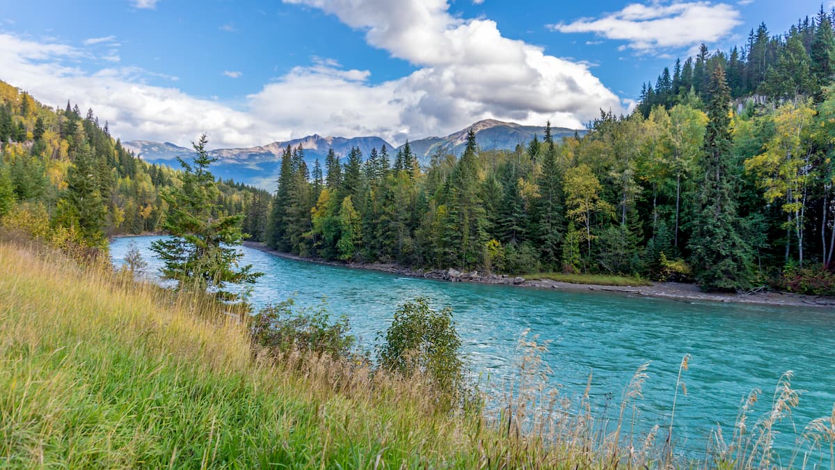
The Dunn Peak Protected Area was established back in 1996. Because the region is classified as a wilderness area, it is not regularly serviced though it is open to the public. The protected area is vast and encompasses vital ecosystems including the Thompson River floodplain, alpine areas, and numerous lakes, swamps, and tarns. Because there are no roads in the park, the wildlife is able to flourish. Within the Dunn Peak Protected Area, lies a major fish migration route, spawning grounds, Great Blue Heron and Bald Eagle habitats. Much of the protected area is also known for its backcountry and alpine ski touring during the colder months of the year.
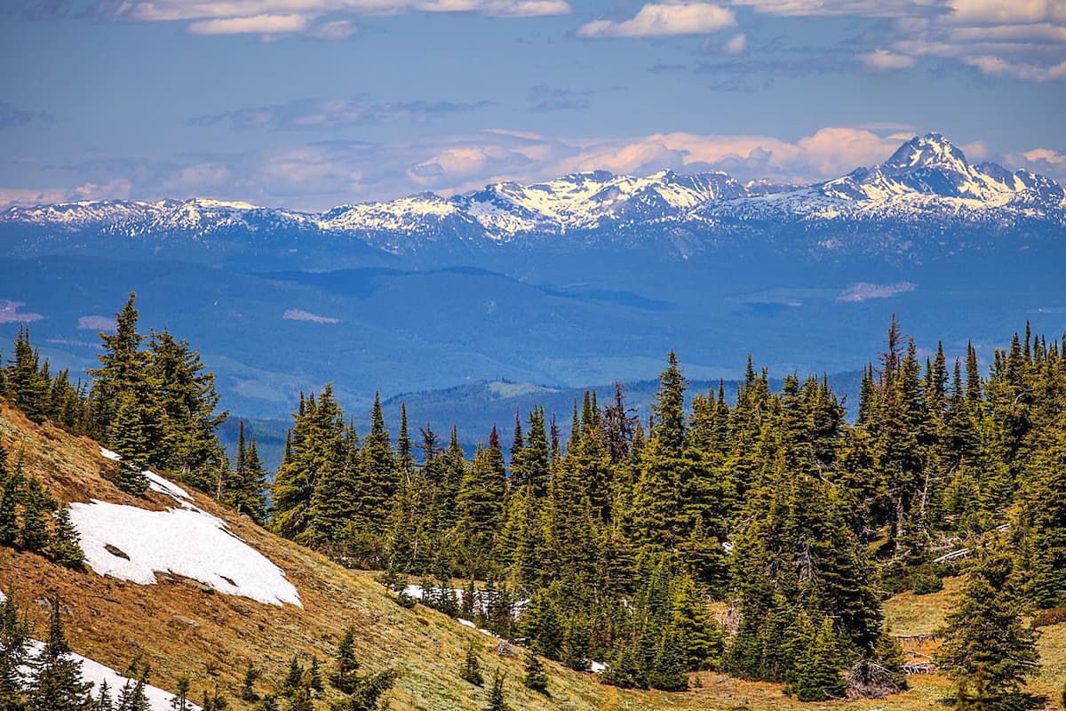
Dunn Peak: As the highest point in the region, Dunn Peak offers expansive views of the surrounding peaks and valleys. The 9.8-mile trail has just under 2,000 feet of elevation gain. The trailhead starts just outside of the Dunn Peak Protected Area, before climbing through the forest to the base of the peak. The trail follows Joseph Creek along a rocky path. Once at the base of the peak, hikers have the option to scramble to the summit across large rock fields as there is no defined pathway.
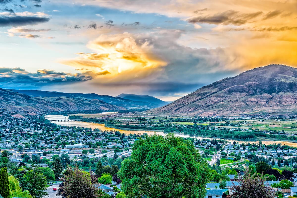
Located just an hour south of Dunn Peak Protected Area, lies the city of Kamloops, British Columbia. The city sits at the confluence of the two branches Thompson River and Kamloops Lake. With a population of just over 100,000, the city is the one of the largest located north of Vancouver. Surrounded by the Cascade Mountains, Kamloops is a mecca for outdoor activities. An extensive trial network offers ample opportunity for hiking and mountain biking year-round. The city is known as the “Tournament Capital of Canada” and often hosts many sporting events. Just east of the city lies Sun Peaks Resort, for skiing and snowboarding.
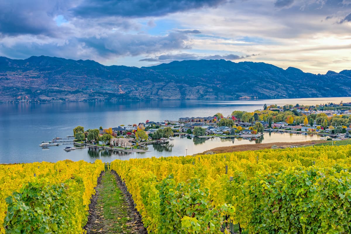
The city of Kelowna lies three hours southeast of Dunn Peak Protected Area. Located on Okanagan Lake within the Okanagan Valley of British Columbia, Kelowna is the seventh largest city within the province. The term Kelowna is derived from the Okanagan language term for grizzly bear. The city sits on the eastern shore of Okanagan Lake and is a notable stop within the wine country. During warmer months the town is full of water sports, hiking, biking, and running. Take a trip to Myra Canyon on the reclaimed Kettle Valley Railway. From there cycle through tunnels and along a steep canyon rock face.


.JPG)


.jpg)