Scan the QR code and open PeakVisor on your phone
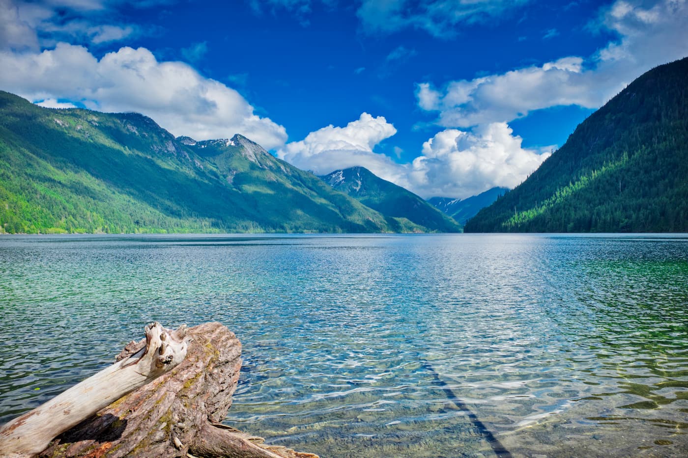
There are 9 named mountains in Chilliwack Lake Provincial Park. Mount Lindeman is the highest point. The most prominent mountain is Mount Wittenberg. Chilliwack Lake Provincial Park is located 90 miles east of Vancouver in the upper Chilliwack River Valley and stretches 22,877 acres. The lake itself is located at the bottom of a valley and is surrounded by old-growth forest and alpine ridges. While the lake offers opportunities for canoeing, kayaking, swimming, and fishing, the surrounding forests are full of 24 miles of trails.
Throughout the park you’ll find 146 campsites along with backcountry sites located in Greendrop, Lindeman, Flora, and Radium Lakes. The Trans Canada Trail winds through the park and is accessible for day use.
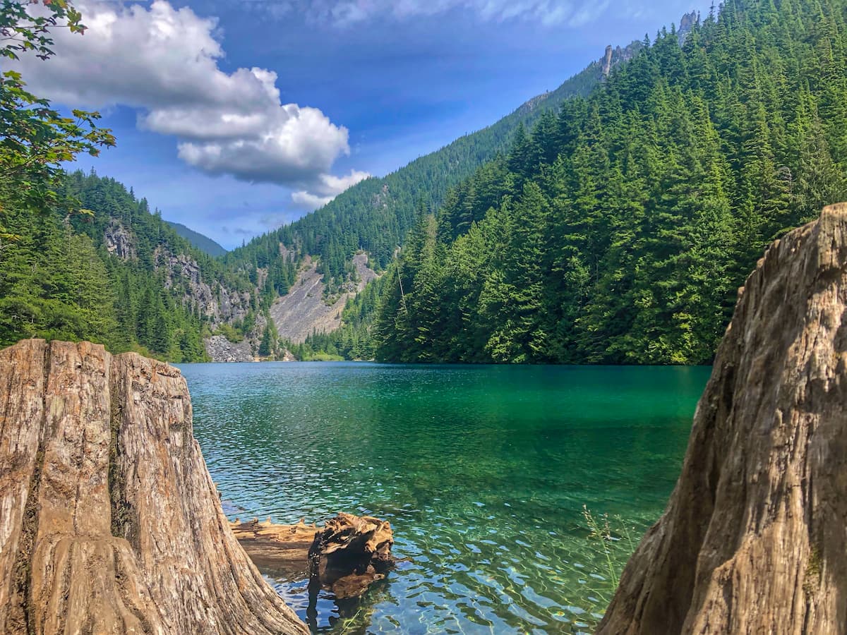
One of the most popular hikes within the park, this route gives hikers a few options. Travel 1.2 miles to arrive at Lindeman lake and be greeted with a small quaint alpine lake complete with a beach area to eat lunch. For those wanting a further distance, continue on the trail for another 2.2 miles and you’ll arrive at Greendrop lake. There hikers will find a few backcountry campgrounds located at Greendrop lake.
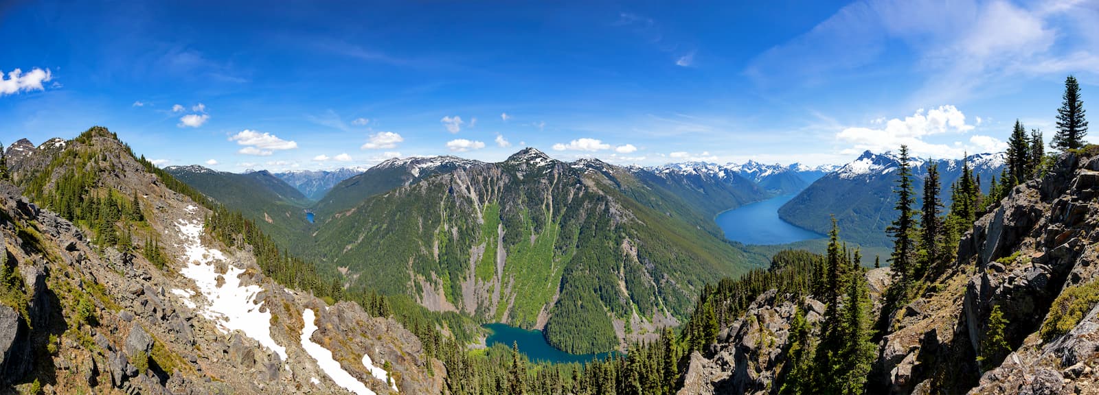
Flora Lake Trail is a moderately trafficked 9.5 mile out and back hike. With 5,574 feet of elevation gain, this trail is rated as difficult. Before you reach the lake, there is a sign to head up to Flora peak. From the peak you will be able to overlook much of Chilliwack Lake Provincial Park. While this is primarily an out and back hike, once you reach Flora lake there is an option to connect with the Lindeman and Greendrop Lake trail. This loop route results in an 11.5-mile hike but allows you to visit all three of these lakes.
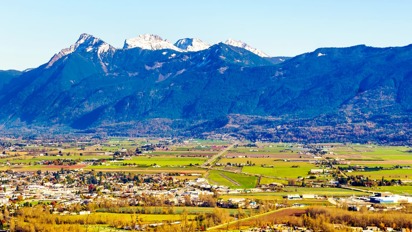
Located just 30 miles west of Chilliwack Lake Provincial Park, Chilliwack is the closest major city to the park. With a population of approximately 100,000, Chilliwack is the seventh largest city in British Columbia. The city is also near Cultus Lake and lies 63 miles southeast of Vancouver. Hikers don’t have to look far for an adventure with the Chilliwack Community Forest located within the city limits.
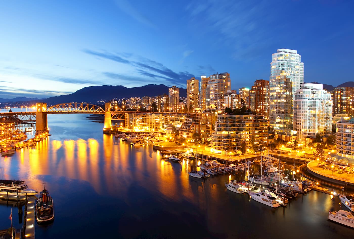
Vancouver is the third largest city in Canada and the largest city in the entire province. While the city population is 603,000, the Vancouver metro area has a population of over 2,500,000. The city is one of the most ethnically and linguistically diverse cities in Canada. The mild climate of the city, along with its abundant access to lakes, trails, and mountains, makes it a popular destination for outdoor recreation. The city is close to three ski resorts, and an abundance of hiking, running, and mountain biking trails.