Get PeakVisor App
Sign In
Search by GPS coordinates
- Latitude
- ° ' ''
- Longitude
- ° ' ''
- Units of Length

Yes
Cancel
❤ Wishlist ×
Choose
Delete
Located in the Sierra Nevada, Plumas National Forest encompasses 1,146,000 acres of wilderness south of the Cascade Range.
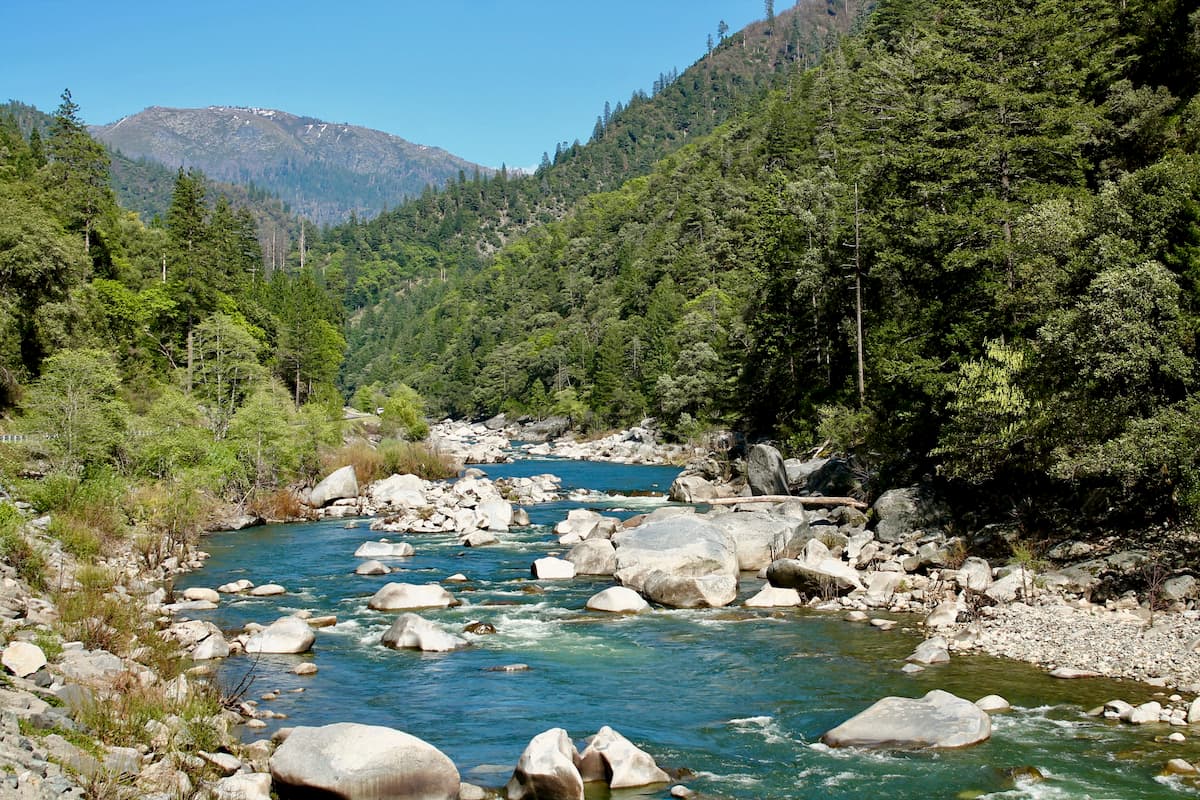
Prior to becoming a National Forest, Plumas was established in 1905 as the Plumas Forest Reserve. In 1908, a portion of nearby Diamond Mountain National Forest was added to expand the forest and in 1984, Bucks Lake Wilderness was established to protect over 23,000 acres of the northernmost end of the Sierra Crest.
Plumas was named after the principal tributary of the Sacramento River, the Rio de las Plumas, or Feather River. The Middle Fork of the Feather River was one of the first nationally designated Wild and Scenic Rivers.
Though parts of the Feather River are notoriously rugged and difficult to access, portions of the Middle Fork region, including the Feather Falls Scenic Area, allow visitors to experience and appreciate the impressive boulders, cascading waterfalls, and sheer cliffs tucked in the Feather River watershed. The 130-mile Feather River Scenic Byway is another great way to explore the diverse landscape surrounding the Rio de las Plumas.
Although the summits in the northern Sierra Nevada are not as high or awe-inspiring as those south of Lake Tahoe, Plumas still houses plenty of impressive peaks, including Mount Ingalls, Dixie Mountain, Adams Peak, and Haskell Peak.
Home to roughly 950 miles of trails, 414 lakes and ponds, 5,800 miles of rivers and streams, and over 50 developed campgrounds, Plumas offers a wide variety of recreational activities. During the summer, visitors can enjoy scenic drives, river rafting, boating, camping, fishing, hiking, mountain biking, and horseback riding. In the winter, snowmobiling, ice fishing, and cross-country skiing are also available in various parts of the forest.
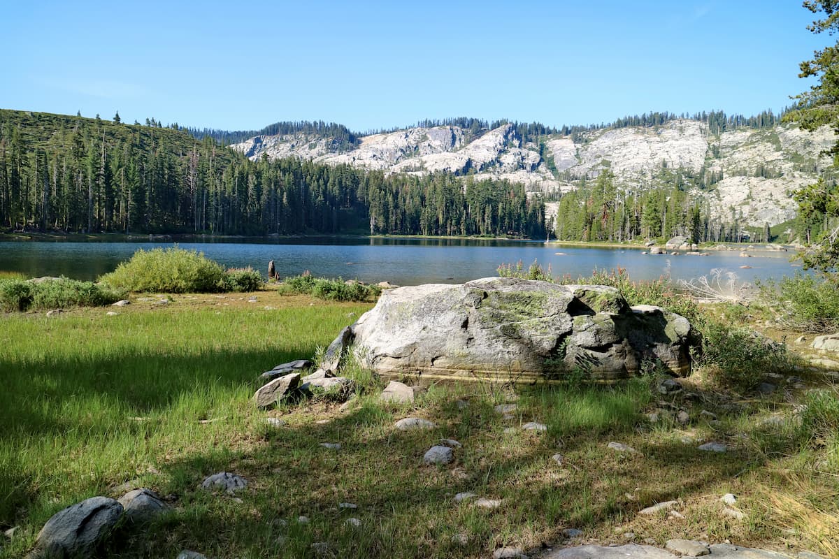
Located in the northeastern part of the Mt. Hough Ranger District, Antelope Lake is a small, remote lake surrounded by forested mountaintops. The lake sits at 5,000 feet in elevation and has 15 miles of shoreline to explore. Antelope Lake is a popular destination for hiking, camping, and fishing.
Surrounded by Bucks Lake Wilderness, Bucks Lake is a high mountain lake that offers year-round outdoor recreation opportunities. In the summer, visitors often make their way to Bucks Lake to fish, swim, or camp along the lake’s 17-mile shoreline. In the winter, Buck Lake boasts over 100 miles of groomed snowmobile trails, as well as sledding and skiing opportunities.
Home to the sixth highest waterfall in the country, the Feather Falls Scenic Area is an understandably popular attraction in Plumas. Feather Falls is nestled in a remote area of the forest and reaching the falls can take anywhere from 4 to 6 hours. The hike is 7 to 9 miles, depending on the trail, but is accessible year-round.
Plumas National Forest is managed by three Ranger Districts, the Beckwourth Ranger District, Feather Falls Ranger District, and Mt. Hough Ranger District. These ranger districts can be found in Blairsden, Oroville, and Quincy.
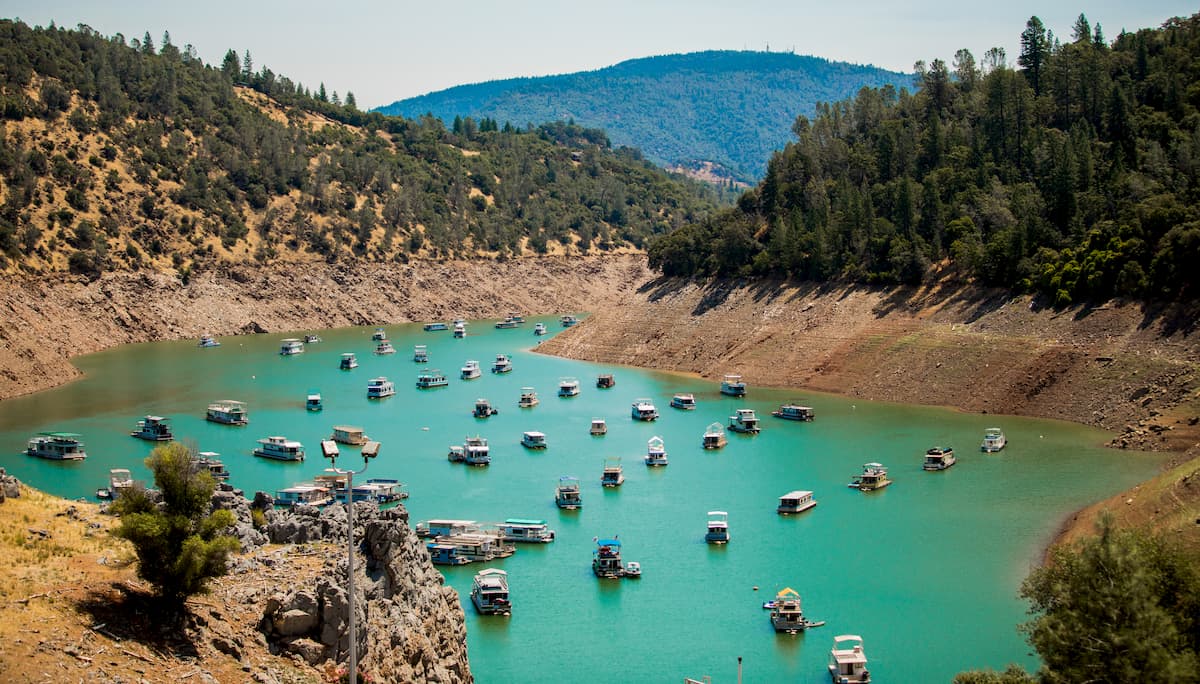
However, due to the immense size of the forest, there are several cities, resorts, cabins, and campgrounds scattered between these ranger districts. Privately owned resorts, cabins, and campgrounds can be found in the Lake Davis Recreation Area, Frenchman Lake Recreation Area, Lakes Basin Recreation Area, Sly Creek Recreation Area, Bucks Lake Recreation Area, and Feather River Canyon Area.
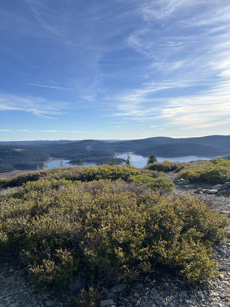
Explore Plumas National Forest with the PeakVisor 3D Map and identify its summits.


.jpg)
western-state-climbers
sierra-club-sierra-peaks-section
sierra-sampler
tahoe-ogul
