
Scan the QR code and open PeakVisor on your phone
Prepare for a wild adventure in the west of Ireland at Ballycroy National Park. Situated in County Mayo, Ballycroy National Park covers over 30,000 acres of vast peatlands and craggy mountains. It is the 3rd largest national park in Ireland.
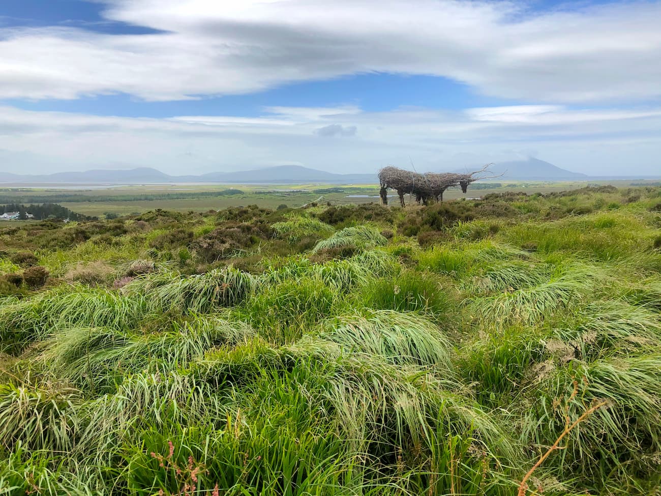
The landscape of Ballycroy National Park is dominated by Owenduff Bog and the Nephin Beg Range. Owenduff Bog is notable as it is one of Europe's largest complete blanket bog systems. Owenduff Bog and Ballycroy National Park are home to around 80 bird species, including rare specimens, such as swifts, golden plovers, and red grouse. Otters, red deer, Irish hares, and badgers also inhabit the region. Owenduff Bog and the park's many waterways are excellent for fishing, with salmon available during the early spring months.
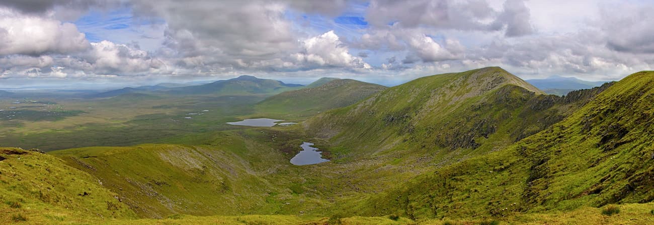
To the east of Owenduff Bog is the Nephin Beg Range. The Nephin Mountains are very popular with hikers and are one of Ballycroy National Park's biggest attractions. The park itself is home to only the western side of the range, which comprises 12 named peaks. The highest mountain within Ballycroy is Slieve Carr (719 m). There are also six other mountains inside Ballycroy National Park that are over 500 meters tall. Notable examples include Corranabinnia (711 m), Glennamong (632 m), and Nephin Beg (621 m).
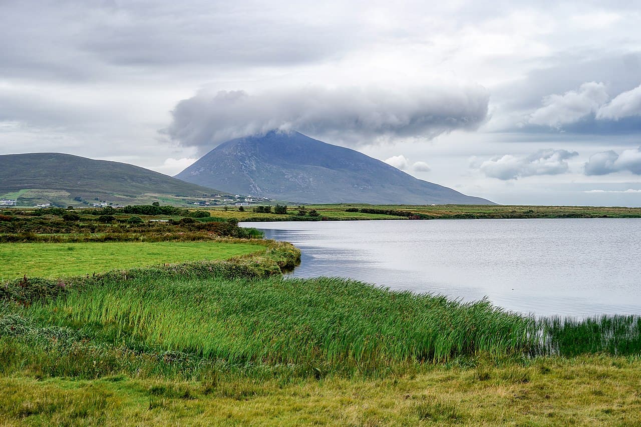
Outside of Ballycroy, Nephin (802 m) is the highest mountain in the entire Nephin Beg Range. Nephin is significant as it's the tallest standalone mountain in Ireland and the second-highest peak in Connacht after Mweelrea (813 m).
The Bangor Trail is an arduous trek suitable for experienced hikers looking for a long walk through Ballycroy National Park. The Bangor Trail runs from Bangor Erris to Newport and dates back to the 16th century. For hundreds of years, it was the main highway between the two settlements. The road is 40 km in length and takes around 12 hours to complete. You can cut the walk down to 26 km by parking at Letterkeen or arranging transport from the car park.
The ground along this route is rugged, and after heavy rain it can be difficult to traverse, so bring along waterproof hiking boots. The Bangor Trail has markers, but it is worth bringing along a map to ensure you don't get lost. Come well prepared and bring along food, water, warm clothes, a compass, and a torch. Due to this trail's length, you should set out early in the morning to finish before nightfall. It is recommended you undertake this hike during the summer, so you have ample sunlight.
Slieve Carr is the most challenging mountain to scale in Ballycroy National Park and shouldn't be undertaken lightly. There's no signposted trail to the top of Slieve Carr, so bring along a map and compass. Slieve Carr is considered one of the remotest climbs in Ireland. One of the best ways to scale Slieve Carr is by heading along the Bangor Trail and attacking the summit from the southeast. This route is an 18 km round trip and takes at least 8 hours to complete.
You start this trek by following the Bangor Trail from Letterkeen Bothy and leaving the trail to the right at Scarduan Lakes. From the most western of the Scarduan Lakes, make an ascent up the northwest face of Slieve Carr. The ascent from the Scardaun Lakes is around 430 m to the summit. This route is steep and may require some scrambling. The summit of Slieve Carr is marked with a cairn. From atop Slieve Carr, you'll have breathtaking views of Achill Island and the mountain's corrie lakes. The descent down the Slieve Carr's shoulder to the north is hazardous, and hikers should take care. Once you've crossed over the boglands at the bottom, you'll come across a trail through the forest, which will lead you back to the Bangor Trail.
Ballycroy National Park is home to three lengthy looped trails of varying difficulties. The Lough Aroher Loop is the red trail and is considered moderately difficult. This trail is around 10 km, takes 2 to 3 hours to complete, and has an ascent of 240 m.
You pick up this trail from Brogan Carroll Bothy, following the red arrows across a footbridge. Here, the path will take you along the banks of the Altoconey River before crossing back at the metal arched footbridge. You'll continue straight for 3 km along an old cattle road before turning right where the purple trail continues straight. After leaving a forested area, you'll be able to spot Lough Aroher to your right. Before long, the trail will join onto the park's leisurely 2 km green trail. After a right turn onto the forestry road, keep left and follow the red, purple, and blue signposts to get back to the trailhead.
The Bothy Loop is the easiest of the three major trail loops at Ballycroy National Park. The Bothy Loop has blue markers. The walk is 6 km long, takes about an hour, and ascends roughly 100 m. You'll follow the same route as the Lough Aroher and Letterkeen Loops up until the old cattle road. Along the old cattle road, you'll find a firebreak path which you need to follow.
Continue for 1 km and turn right at the sandy road after the stream, before turning right again at a crossroads. Here you'll rejoin the main trail, which can be followed back to the trailhead. The Bothy Loop is a relatively easy walk for people of decent fitness levels.
The Letterkeen Loop is marked purple and is the hardest of the three looped trails. The hike is 12 km long, takes 3 or 4 hours, and ascends 310 m.
As mentioned, this trail splits off from the Lough Aroher Trail along the old cattle road. After passing the woodlands where the paths split, head up the incline along the fence. The ascent here is quite steep, so ensure you bring appropriate footwear. From atop the hill at 310 m, you'll have sweeping views of the forest and bogs below. Head down the narrow path to the right, and then left at the bottom to rejoin the Lough Aroher Loop.
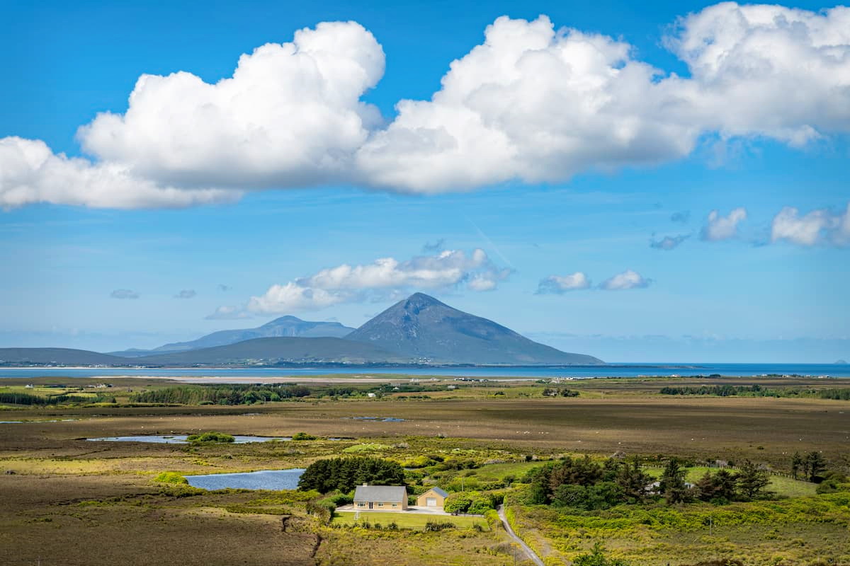
The Claggan Mountain Coastal Trail is the only seaside hiking trail in Ballycroy National Park. The hike is short at only 2 km in length and should take hikers half an hour to an hour to complete. To start the trail, drive 8 km south of the Ballycroy National Park Visitor Centre, with the trail located between Mulranny and Ballycroy village. The trail consists of boardwalks that run over the area's boglands. These boardwalks make the trail very easy to follow, and the trailhead is marked with an informational plaque. From the boardwalk, you'll have panoramic views of Claggan Mountain (382 m) to the south and Achill Island to the west.
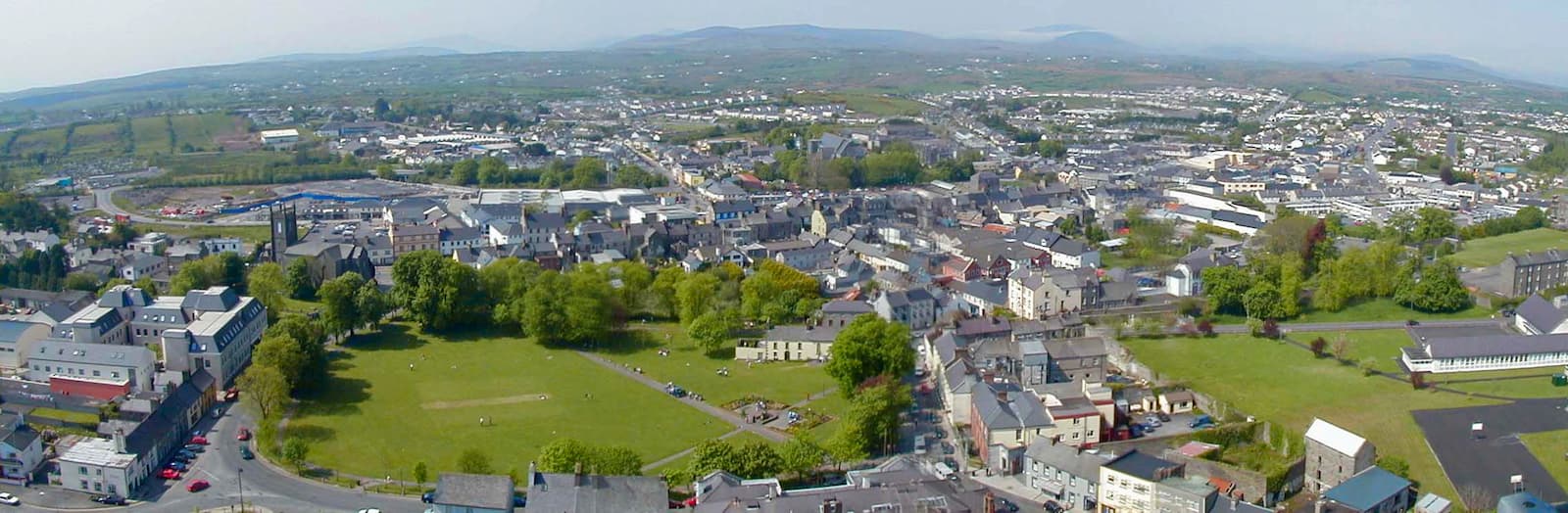
Castlebar is Mayo's county town and is ideal for adventurers looking to mix local culture with a visit to Ballycroy National Park. As well as boasting plenty of great local pubs, Castlebar is noted as being home to the National Museum of Ireland - Country Life. This museum is the only National Museum of Ireland located outside of Dublin. You'll find several cozy hotels in Castlebar, including The Ellison, TF Royal Hotel and Theatre, and Breaffy House Resort.
Castlebar is located just 53 km from Ballycroy National Park, and the drive takes less than an hour. You can reach Ballycroy National Park by following the R311 west towards Newport and then continuing northwest along the N59. If you're traveling from abroad, the Ireland West Airport Knock is situated just 40 km from Castlebar and handles seasonal international flights to the UK, Spain, Italy, and more.
Sat overlooking Clew Bay is the picturesque coastal town of Westport. Westport is popular due to its proximity to Croagh Patrick, which is just 10 km south of the town. Westport boasts amazing seafood restaurants, quality golf courses, and is renowned for its friendly locals. There are also some family-friendly attractions in Westport, thanks to Westport House, an 18th-century manor with an adjoined amusement park. There are some classy hotels in Westport, including Westport Country Lodge, Clew Bay Hotel, and Mill Times Hotel.
You can drive from Westport to Ballycroy National Park by taking the N59 north past Newport and then west through Mulranny. The journey is around 45 km and takes roughly 45 minutes.
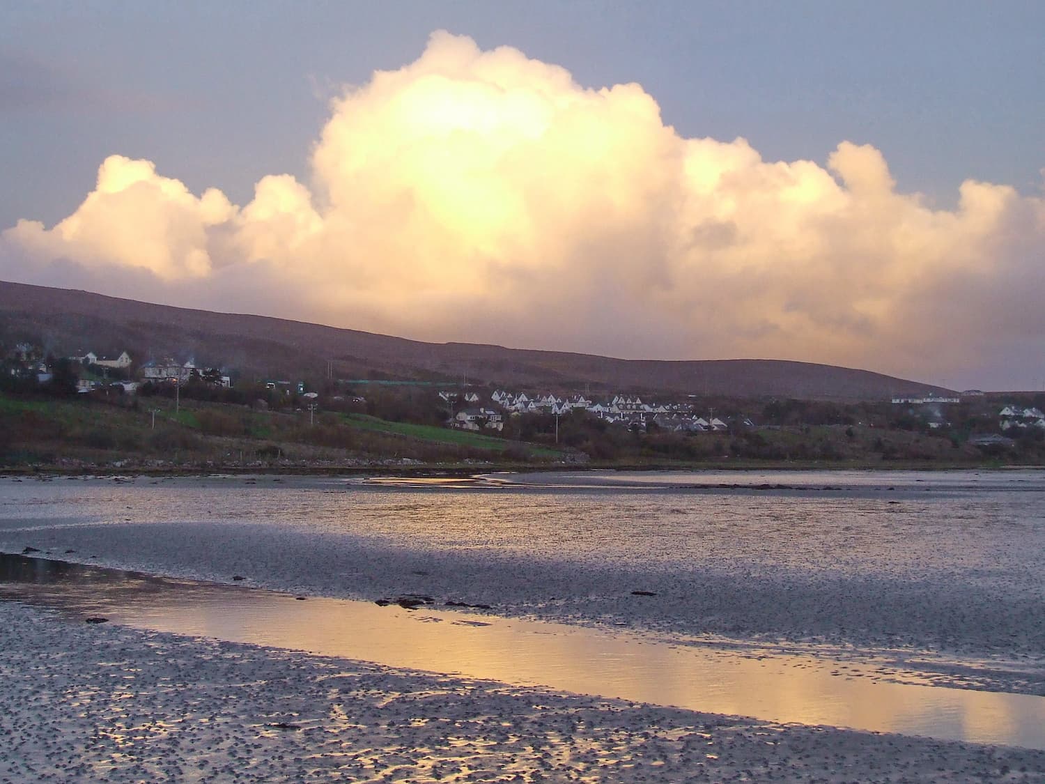
Travelers looking to stay as close to Ballycroy National Park will want to book a room in Ballycroy. This small village is located at the heart of the park, and with a population of less than one thousand, it's ideal for a relaxing getaway. As the village is so small, there's not much to do around town apart from a spot of fishing, visiting the two pubs, or exploring the park. While there are no hotels in the village, there are a few self-catered rentable cottages, including the Ballycroy Bungalow and Park View. Ballycroy is just a two-minute walk from the National Park, and the village is home to the Ballycroy National Park Visitor's Centre.
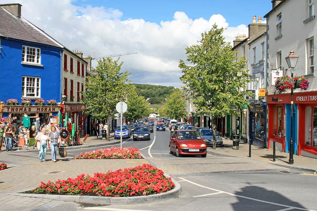
Another village within touching distance of Ballycroy National Park is Mulranny. While not quite as close as Ballycroy village, Mulranny offers more hotels and some great local attractions. While in this picturesque seaside settlement, consider trekking down the stunning Great Western Greenway or plan a visit in November to attend the Mayo Dark Sky Festival. Mulranny is also home to a few of the best hotels in the vicinity, such as the Mulranny Park Hotel and Mulranny House.
The drive from Mulranny to Ballycroy National Park is short and sweet. Simply take the N59 north for 16 km. The journey takes under 20 minutes.
Achill Island is the biggest island in the country (other than the mainland). The island is home to several villages, including Dooagh and Dooega, and is popular with tourists due to its beautiful landscape and Irish culture. Achill is a Gaeltacht, which means Irish is primarily spoken on the island. Adventure seekers will love Achill as the island boasts two adventure centers where you can try an array of extreme sports. If you plan on staying on Achill, consider a room at one of the quaint B&Bs in Achill Sound.
Achill is connected to the mainland via a bridge. You can get to Ballycroy National Park from Achill by following the R319 to Mulranny, before heading north along the N59. The drive is around 36 km and takes 40 minutes.


