Get PeakVisor App
Sign In
Search by GPS coordinates
- Latitude
- ° ' ''
- Longitude
- ° ' ''
- Units of Length

Yes
Cancel
❤ Wishlist ×
Choose
Delete
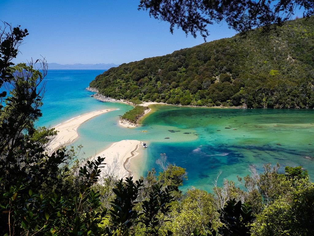
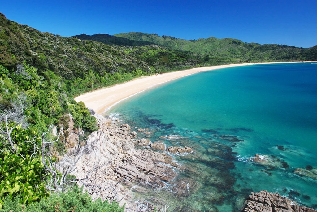
Abel Tasman National Park straddles the northern coast of New Zealand’s South Island. At 22,530 ha (55,673 acres), it is the country’s smallest national park. Its pristine coastal location features thick forests, estuaries, and sandy beaches. The park also contains 17 named mountains; Mount Evans (1,161 m / 3,809 ft) is the highest and most prominent (345 m / 1132 ft).
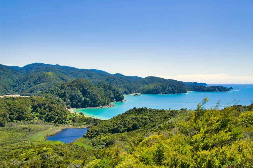
Abel Tasman National Park sits upon the Tasman Bay on the northern coast of New Zealand’s South Island. The 22,530 ha (55,673 acre) park boasts forests with lush understories, beaches and tidal pools, and the opportunity to explore via single and multi-day hikes, as well as by boat and snorkeling.
The park includes several islands, the three largest being Tonga, Adele, and Fisherman. The park encompasses the Tonga Island Marine Reserve. The tallest mountain is Mount Evans (1,161 m / 3,809 ft). However, the park is best known for its golden beaches and the 60 km (37 mi) Coast Track, New Zealand’s most famous Great Walk.
The park features the Abel Tasman National Monument, recognizing the namesake Dutch explorer’s first contact in the area in 1642. Erected on a limestone outcropping by the sea, scenic vistas of the Tata Islands and Ligar Bay flank the monument. Tasman anchored in nearby Golden Bay during the first European contact with the island.
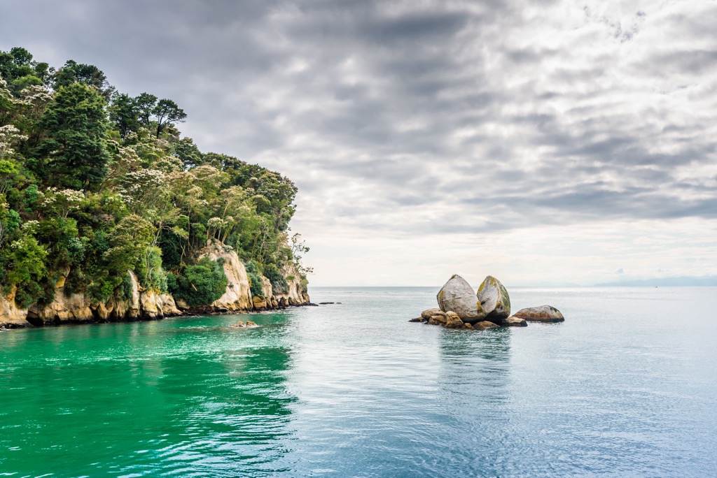
New Zealand’s geology dates back to the supercontinent Gondwana. Around 540 million years ago, New Zealand formed along the supercontinent’s edge. Rivers carried sediment, and underwater eruptions generated ash that hardened into the rocks underlying most of the country today.
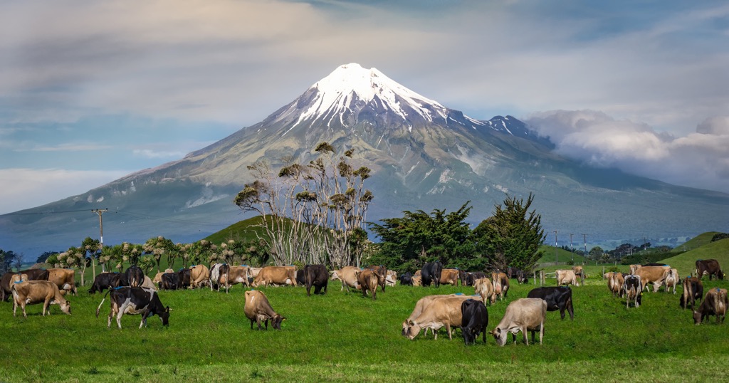
New Zealand sits near the boundary between the Australian and Pacific plates. Around 100 million years ago, magma welled up and caused volcanic eruptions and splits along faults. By 85 million years ago, the Zealandia land mass separated from Gondwana and the Australian mainland, and began to drift across the Pacific Ocean.
Twenty-five million years ago, Zealandia split, and sections of the continent were uplifted. There has been further uplift in the last 1.8 million years, such as the Southern Alps on the South Island and volcanic eruptions, which continue in the present. During the Ice Age, glaciers carved out valleys and shifted rocks and sediment. Massive ice flows, such as the Tasman and Fox glaciers, continue to alter the landscape today.
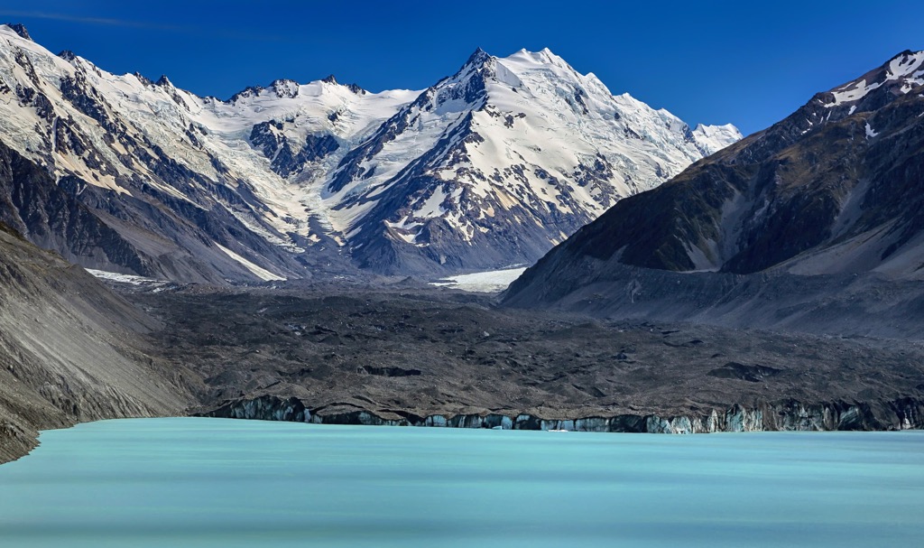
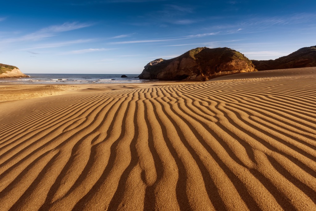
The Abel Tasman National Park mountains are part of the Kaikoura Range and are composed of limestone, mudstone, and marble. The park’s bedrock is primarily granite. Soils in the park comprising decomposed granite are sandy and not particularly fertile. However, damp gullies have richer soils where thick forest grows. Decomposed granite, specifically the oxidation of trace amounts of iron, has given Golden Bay its signature gold sands.
The ecology of Abel Tasman National Park reflects coastal habitats and human impact on the region. Milling from early settlers resulted in substantial deforestation. In the post-milling era, these damaged forests are regenerating, filling the understory with trees, shrubs, ferns, kiekie, and supplejack. Project Janszoon, a privately funded trust, is working in conjunction with the NZ Department of Conservation to restore the park’s ecosystems by 2042.
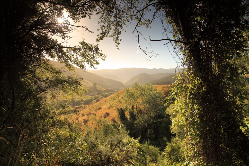
The native forest along the dry ridges is primarily black beech, while hard beech thrives in moist inland environments. Kanuka grows after windfall or fires, and manuka sprouts where the soil has been damaged by repeated burning. Rushes, glasswort, and sea primrose thrive in the salt marshes; the park has many tidal estuaries, forming micro-ecosystems for small fish, snails, worms, and crabs.
The park is home to many bird species, and there are conservation efforts to restore bird populations that have been affected by habitat loss or introduced predators. In fact, the park was founded by ornithologist, conservationist, and author Pérrine Moncrieff to preserve bird habitat. Common species include bellbird, fantail, pigeon, and tui. Pukeko and several wading birds occupy the coastal areas. Diving birds like gannets, shags, terns, and penguins feed at sea.
The park’s resident mammals include wild pigs and deer that roam the forests and fur seal colonies that live near some islands and bask on rocky outcroppings. Traps are set up throughout the park to catch invasive stoats and possums that prey on native fauna.
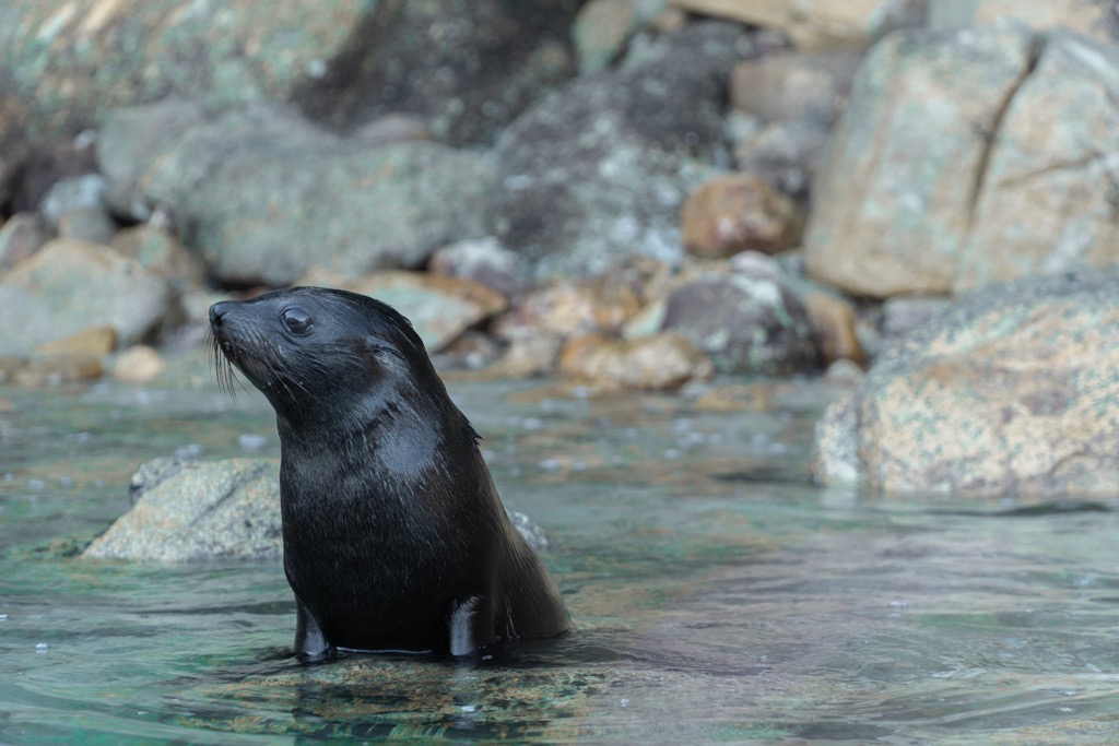
The park is home to 14 species of native fish. Some are threatened species, such as migratory galaxiids like short-jaw. There are also giant kōkopu, kōaro, and inanga. Banded kōkopu live in small pools. Snorkeling offers the opportunity to uncover rich tide-pool ecosystems featuring periwinkles, tubeworms, algae, sea urchins, and Cook’s turban shells. Further out from shore are bryozoans, whose colonies look like coral.
The Maori have lived in New Zealand for about 700 years, having arrived from the Polynesian Islands in a series of canoe migrations between 1320 and 1350 CE. In addition to fishing, hunting, and gathering, they traditionally grew kumara. Many of their sites were seasonal, although a few permanent settlements along the Awaroa estuary existed.
The Ngati Tumatakokiri, a dominant Maori tribe, occupied the area when Dutch sailor Abel Tasman arrived in late 1642 and made the first known contact with Europeans. Tasman anchored near Wainui in Mohua but moved on after a deadly conflict with local people.

In 1855, European settlement began in full force. As in every part of the world colonized by Europeans, they quickly altered the landscape to eke out a living. In this case, settlers engaged in logging, granite quarries, and slash-and-burn agriculture. These activities brought a brief boom of success before environmental degradation took its toll and profit declined.
Activist Pérrine Moncrieff paved the way to protect 15,000 hectares (37,065 acres) of coast and coastal forests. The campaign was successful, and Abel Tasman National Park opened in 1942, marking 300 years since the arrival of Abel Tasman on the island.
Abel Tasman National Park has trails suitable for multi-day treks, day hikes, and mountain biking. It is best known for the Coast Track – the country’s most popular Great Walk – that includes scenic stretches along pristine, sandy beaches. Campsites and huts are sprinkled across the park that require booking in advance. Snorkeling is another popular activity for park visitors.
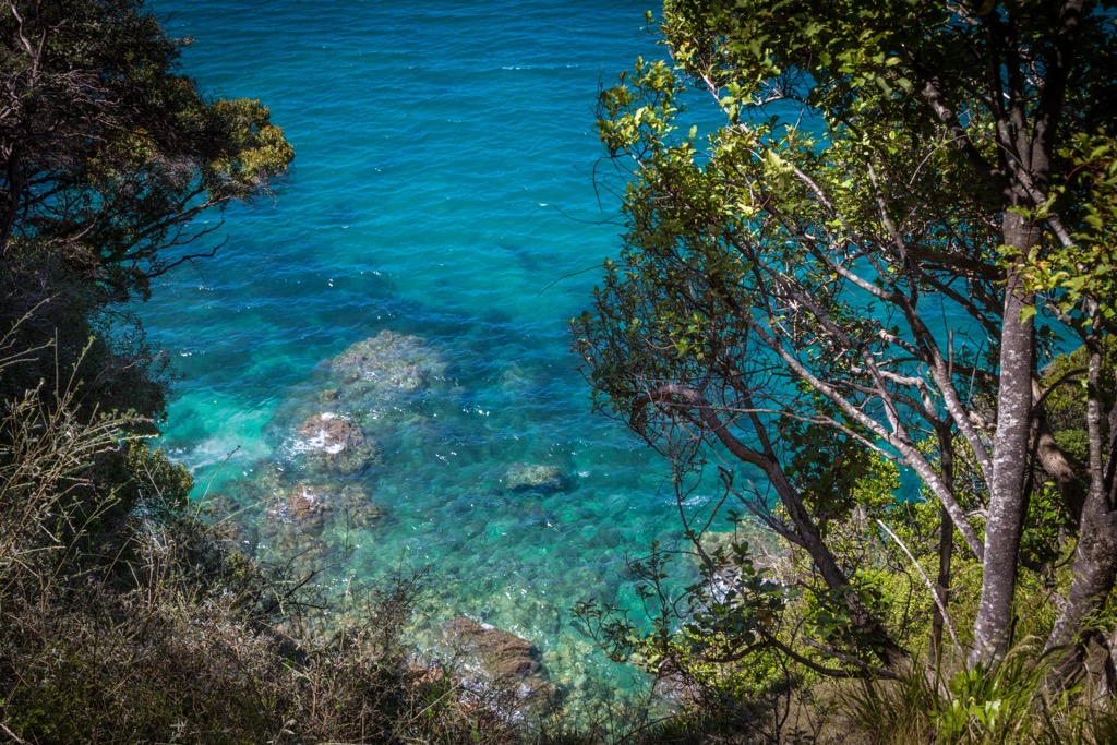
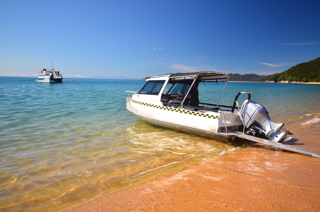
The Abel Tasman Coast Track runs 60 km (37 mi) one way and takes three to five days. Visitors can walk the entire length or take a water taxi or kayak between sections of the route. Be aware that campsites and huts must be booked ahead of time for overnight visits. Campsites are intended for tents and not hammocks.
The trail winds through forest, across estuaries, and along the coast. Hikers should pay attention to tides, which can affect the route and timing of some sections. Prospective visitors can find a breakdown of distance, campsites, and trail features on the national park website.
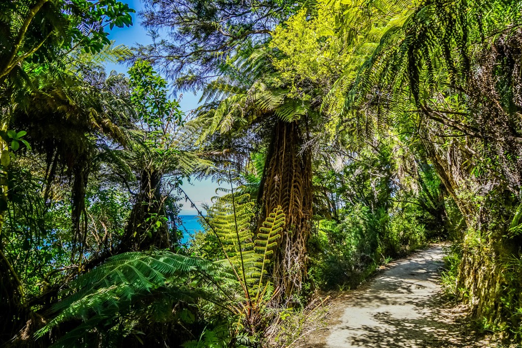
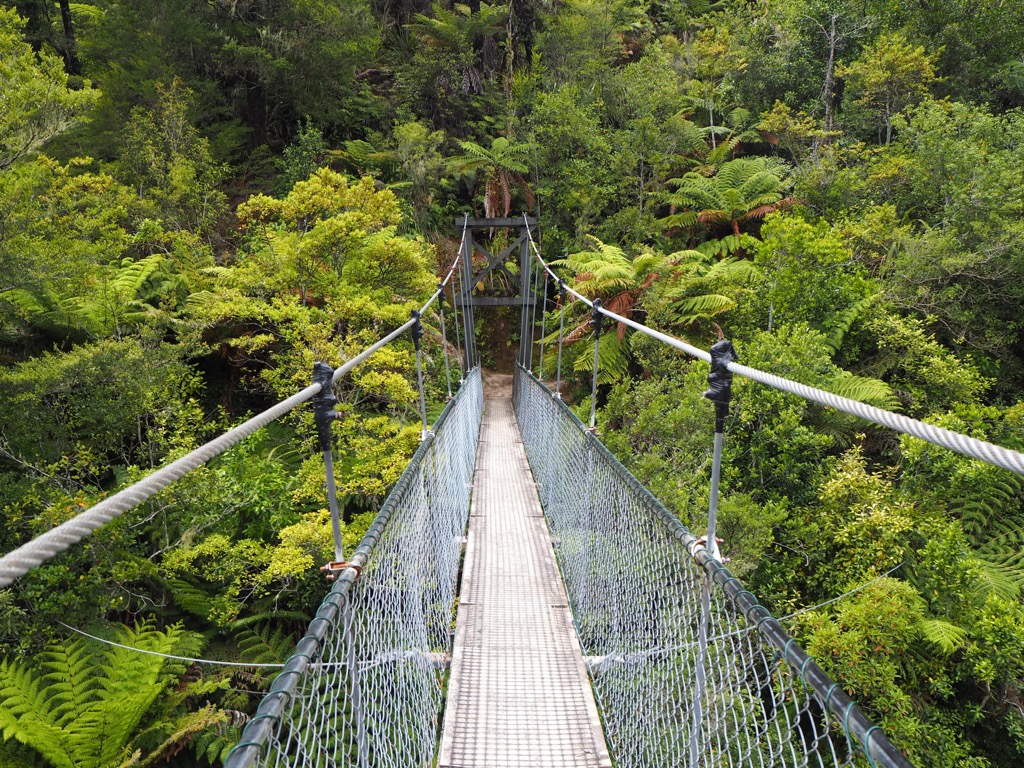
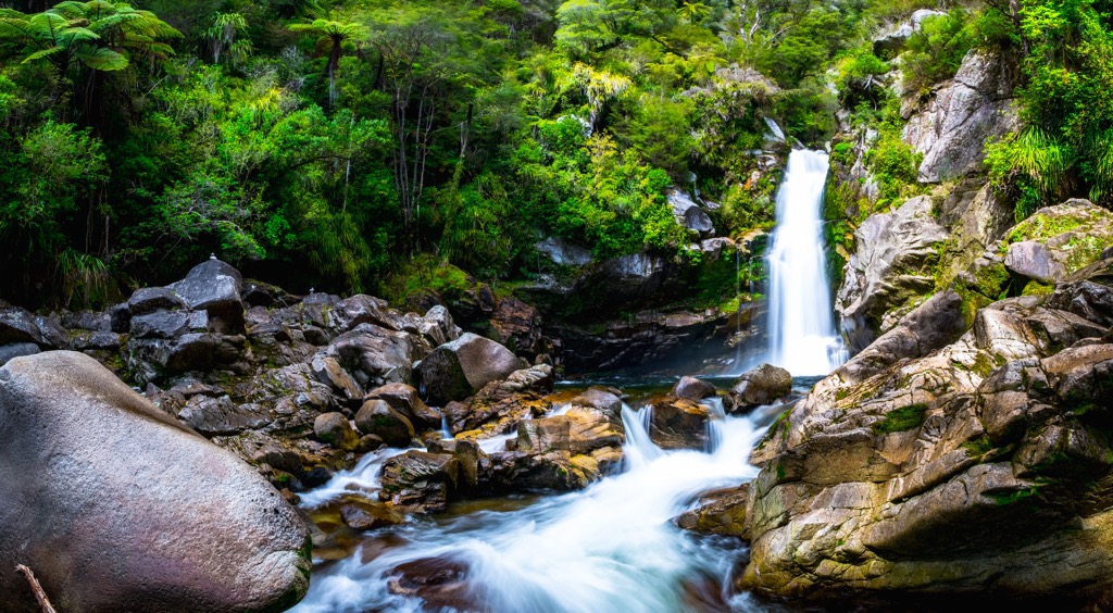
The Wainui Falls Track is 3.4 km (2.1 mi) out and back, making it an easy route and suitable for families. The trail cuts through farmland before entering the forest. It then climbs past granite boulders and passes a suspension bridge before arriving at Wainui Falls, the largest falls in Golden Bay/Mohua. Along the way, keep your eyes peeled for Powelliphanta snails, one of the largest snails in the world.
The Gibbs Hill Track is open to both hikers and mountain bikers. It is a moderate hiking route and a Grade 3 mountain biking route that spans 23 km (14 mi). Mountain biking between Wainui, Gibbs Hill, and Tōtaranui is permitted from May through September.
The route goes from Wainui to Gibbs Hill to Tōtaranui. When returning to Wainui, mountain bikers should take the road back while hikers can enjoy a more scenic return along the Abel Tasman Coast Track. Bikers should be aware of thorny gorse growing along the trail and the potential for a flat tire on the rough track.
Abel Tasman National Park is on the northern tip of the South Island and is accessible from larger cities on the South and the North Island. Christchurch is a five-and-a-half-hour drive south of the park. Wellington is about seven hours away and includes taking a ferry between the North and South Islands.
The nearest towns are Motueka, Takaka, and Kaiteriteri. Buses run between the local towns and the park, and there are also water taxi services.
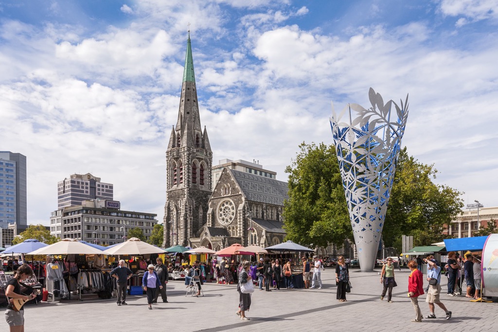
With a population of 382,000 people, Christchurch is the largest city on New Zealand’s South Island. It is a relatively new city that blends green spaces, street art, and innovative architecture. The urban area boasts a quirky and diverse food scene, including a cultural food tour to learn about the region’s culinary heritage and Māori culture.
Other activities include visiting the botanic gardens and the Christchurch Art Gallery and catching live music. The Hanmer hot springs and wildlife viewing in Kaikōura are nearby attractions. Christchurch is also a great kick-off point for those hoping to explore areas around the South Island, like the Banks Peninsula, the Southern Alps, and the Canterbury Plains.
Wellington sits on a picturesque harbor on the tip of the North Island and is home to 213,000 people. The city is a cultural hot spot, thrumming with history, a diverse food scene, and access to nature. The Museum of New Zealand Te Papa Tongarewa offers a rich look into Māori culture and history, as well as New Zealand’s unique natural environment.
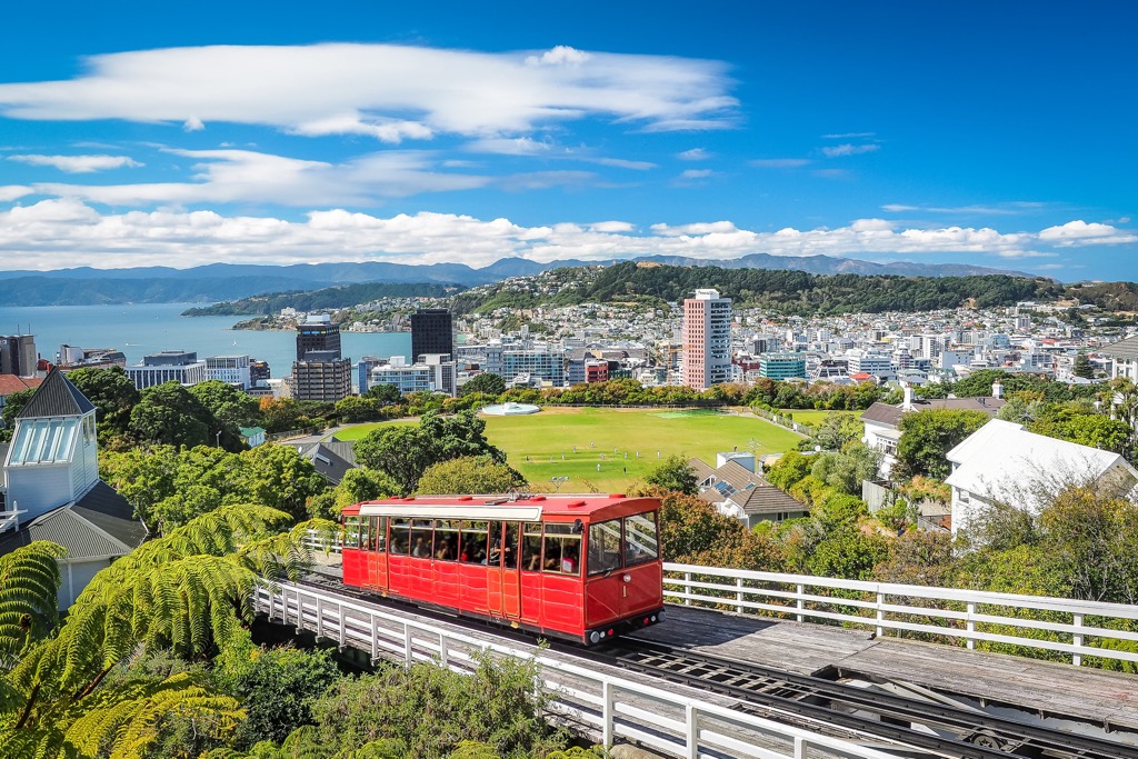
Make the most of your time in the city by taking the cable car for a panoramic view overlooking the city, visit the nearby nature reserve Zealandia, or pop over to Red Rock Reserve to see the seal colonies.
Wellington is considered New Zealand’s food capital. Taste your way through the city, sampling fresh seafood and local dishes with Māori and Polynesian influence. The town also has a coffee culture with plenty of cafes to visit while you’re in town.
Explore Abel Tasman National Park with the PeakVisor 3D Map and identify its summits.
