Get PeakVisor App
Sign In
Search by GPS coordinates
- Latitude
- ° ' ''
- Longitude
- ° ' ''
- Units of Length

Yes
Cancel
❤ Wishlist ×
Choose
Delete
The West Rand District Municipality is located in the Gauteng province of South Africa. It’s most known for its gold mining history and the Cradle of Humankind, a UNESCO World Heritage Site. There are 23 named mountains in West Rand District Municipality. Wagterskop is the highest point at 1,782 meters (5,846 ft). The most prominent mountain is Losberg, measuring 1,755 meters (5,758 ft).
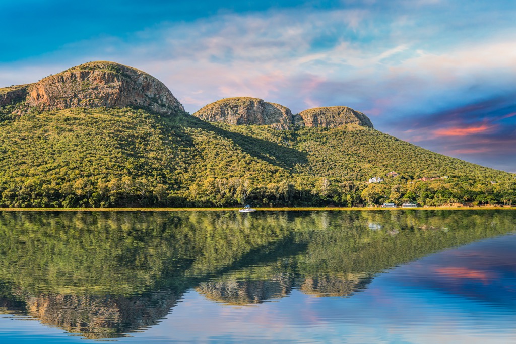
The West Rand District Municipality covers 408,700 ha (1,009,920 ac) and includes the four local municipalities of Mogale City, Rand West City, Merafong City, and Westonaria. Located west of Johannesburg, the West Rand is part of the Witwatersrand, an area historically important for its gold mining industry.
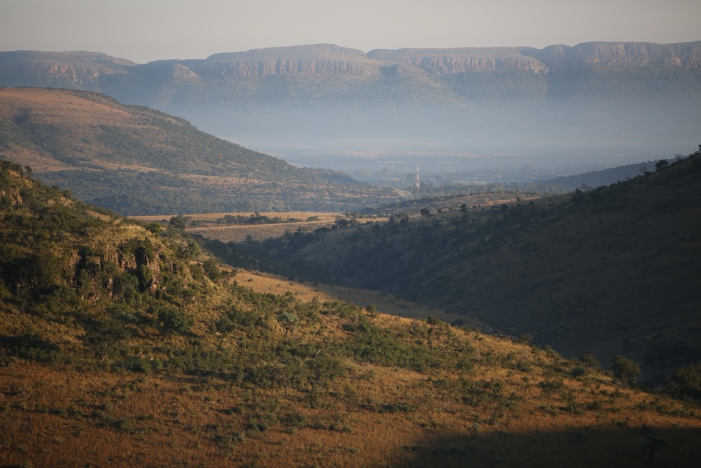
The district’s topography is defined by the Witwatersrand Ridge, which stretches east to west, with an elevation between 1,600 meters and 1,800 meters (5,249 ft to 5,905 ft). This hilly terrain includes sections of the Magaliesberg Mountain Range, which provides a natural barrier to the district’s urban and mining areas.
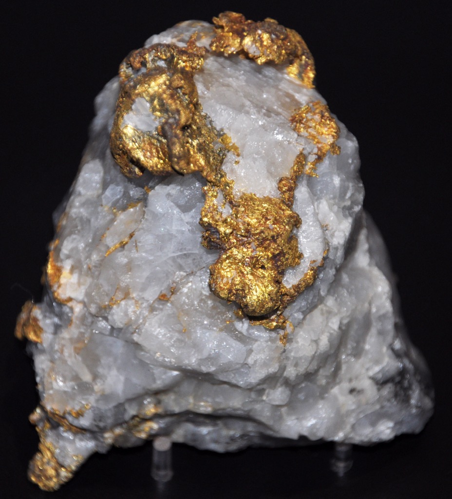
The West Rand is mineral-rich, with extensive gold reserves that have driven the local economy. The district also has deposits of uranium and platinum, sustaining its role in South Africa's mining industry.
The district experiences a temperate highland climate with warm, wet summers and cool, dry winters. Summer temperatures range from 18°C to 28°C (64°F to 82°F), while winter nights can drop to around 5°C (41°F). Annual rainfall is moderate, with most occurring between October and March.
Land use in the West Rand District Municipality is a mix of urban areas in towns like Krugersdorp and Carletonville, along with agricultural zones and conservation areas. Notably, the Cradle of Humankind World Heritage Site spans over 47,000 ha (116,140 ac) and is globally significant for its archeological finds, including hominid fossils. This UNESCO site also contributes to tourism and conservation efforts.
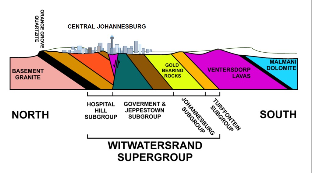
The West Rand District Municipality sits within the Witwatersrand Basin, known for its rich gold deposits. The Witwatersrand Supergroup’s gold-bearing sedimentary rocks define the area's geology.
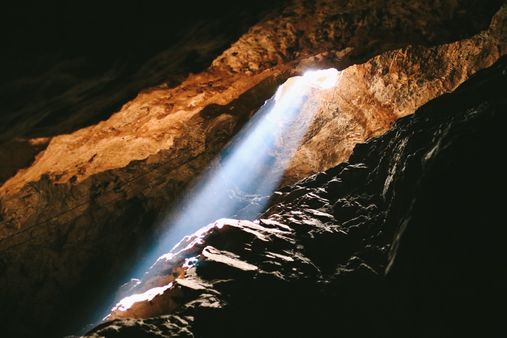
Additional volcanic layers from the Ventersdorp Supergroup and dolomitic layers from the Transvaal Supergroup contribute to caves and sinkhole risks. The Sterkfontein Caves in the Cradle of Humankind site offer an opportunity to view these geological features in person.
Tectonic faults have impacted mining and water flow, affecting safety and operations. Mining has left environmental issues, especially acid mine drainage, impacting water and soil quality.
The nearby Cradle of Humankind also contains fossils and artifacts that shed light on early human history.
The West Rand District Municipality features diverse ecosystems, including grasslands, wetlands, and woodlands. Located in the Highveld region, the West Rand District Municipality receives an average annual rainfall of 600 to 800 mm (24 to 31 in), with the Magaliesberg Mountain Range influencing local habitats.
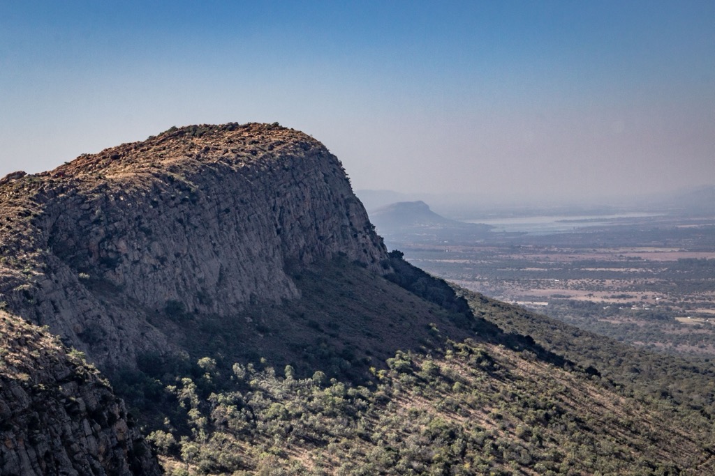
Key habitats include grasslands dominated by Themeda triandra, which support various bird and insect life but are threatened by overgrazing and urbanization. Wetlands provide habitats for amphibians, fish, and migratory birds, while woodlands with Acacia species shelter reptiles and small mammals.
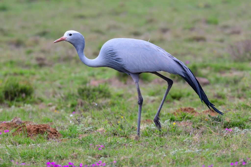
The West Rand Municipality District is home to notable birds like the Blue Crane and African fish eagle, as well as smaller mammals like the black-backed jackal. Larger game is rare due to habitat loss, and the region also hosts various reptiles and sensitive amphibians.
The Sotho and Tswana people originally inhabited the West Rand District Municipality and engaged in agriculture, herding, and iron smelting. In the 19th century, Boer settlers established the South African Republic here, clashing with indigenous groups and later with the British over control of local resources.
The 1886 discovery of gold in the Witwatersrand Basin transformed the area, leading to rapid development in towns like Krugersdorp and Randfontein. The resulting economic boom also intensified tensions, culminating in the Anglo-Boer War (1899 to 1902), which ended in British control. The West Rand’s booming mining economy grew heavily dependent on Black South Africans and migrant labor.
Under apartheid, forced removals led to the creation of townships like Kagiso, which faced harsh conditions but became centers of anti-apartheid activism. In 1994, the end of apartheid brought democratic governance, but the region faced economic challenges as gold reserves dwindled, prompting a shift toward agriculture, manufacturing, and tourism.
The Kings Kloof Trails on Laurentia Farm in Muldersdrift, near Johannesburg, offer diverse options for hiking, trail running, and mountain biking. The terrain includes hills, forested valleys, and a waterfall. With six marked trails ranging from easy to very difficult, visitors can choose routes to match their skill levels. The quick 7 km (4 mi) Yellow Route leads to a waterfall, while the challenging 21 km (13 mi) Black Route offers elevation and scenic ridge views of Swartkop and King’s Kloof NW. The 12 km (7 mi) Blue Route includes sections of the Yellow Route and Black Route, passing the waterfall and ascending elevated grasslands.
The Rustig Hiking Trails is located near Johannesburg in the hilly Magaliesburg region. The trails range from easy 3 km (2 mi) and 5 km (3 mi) paths, perfect for families and casual hikers, to more challenging 9 km (5.5 mi), 13 km (8 mi), and 18k (11 mi) routes that take hikers through diverse landscapes, including grasslands, rocky outcrops, and mountain tops with stunning valley views of Nadia’s Peak, Vaalkop, and Krokodilberg.
Cradle Moon Lake lies within the Cradle Moon Conservancy in Gauteng. The Green Trail, a moderate 8 km (5 mi) circular route, provides views of the lake, trees, bushes, and a waterfall, with opportunities to spot birds, wildflowers, insects, and occasionally zebras and impalas. The Lake Loop, a 6 km (4 mi) trail, features diverse flora and fauna and panoramic views. For a shorter hike, the Pink Trail, at 5 km (3 mi), offers views of Swartkop.
The Sable Ranch Hiking Trail, located in the Magaliesberg Biosphere Reserve in Gauteng, features a variety of routes ranging from 5 km to 12 km (3 mi to 7 mi). These moderately challenging trails begin with a steep incline that rewards hikers with scenic views of forested areas and rivers and the chance to spot wildlife such as the Sable antelope.
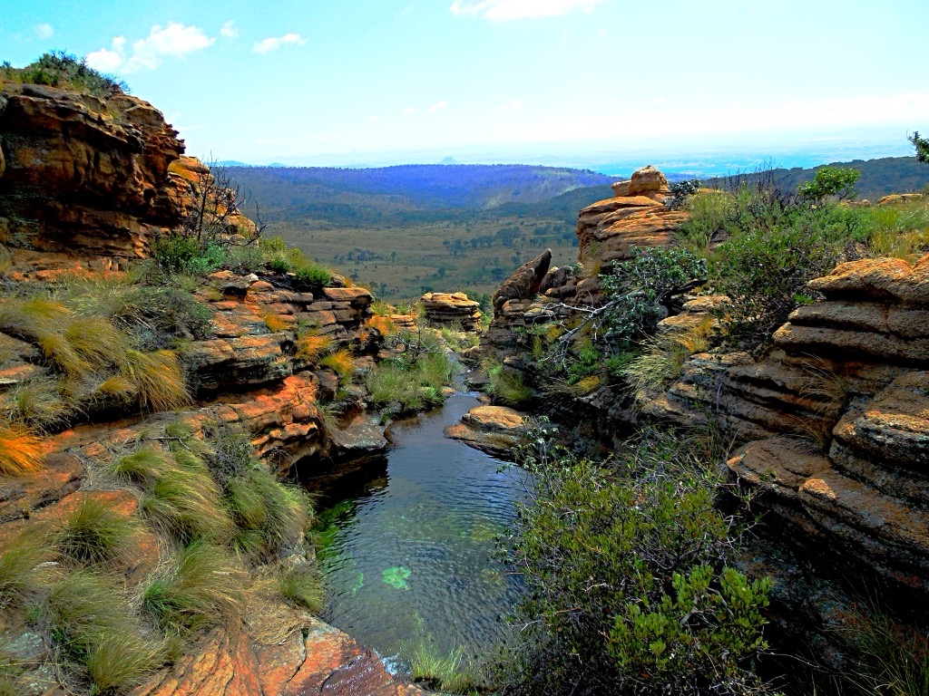
Krugersdorp is a town in the Gauteng province, situated on the Witwatersrand ridge at an elevation of 1,740 meters (5,709 feet). It was founded in 1887 after the discovery of gold and is known for its role in the Transvaal War of Independence and the discovery of the Witwatersrand Goldfields.
Nearby, the Walter Sisulu National Botanical Garden has beautiful scenery, many types of plants, and trails for hiking. It’s well-known for the Witpoortjie Waterfall and the Verreaux's eagles that often nest on the cliffs.
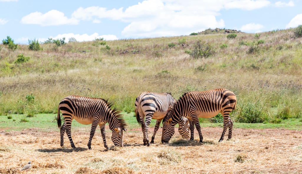
The Krugersdorp Game Reserve offers an easy safari experience where visitors can spot animals like zebras, giraffes, and antelope. There are options for self-drive tours, picnic areas, and even guided horse rides.
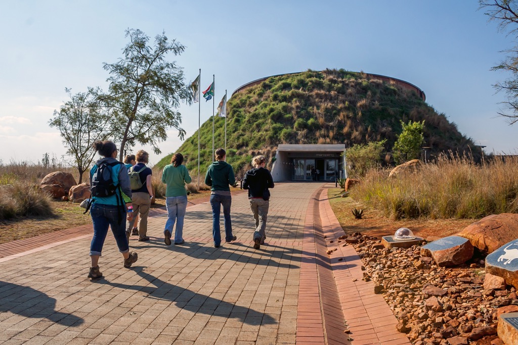
A short drive from Krugersdorp is the Cradle of Humankind, a UNESCO World Heritage site. This area has limestone caves filled with fossils of early human ancestors, including the famous Sterkfontein Caves. Visitors can explore the caves, learn about human evolution at the Maropeng Visitor Centre, and see fossils that are over two million years old.
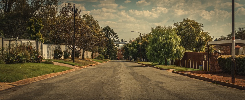
Randburg is a suburb of the West Rand District Municipality, located in the Gauteng province. It was originally a separate municipality but became part of the City of Johannesburg Metropolitan Municipality in the late 1990s. It is known for its diverse population and rich history.
Delta Park in Randburg is a large green space covering about 104 ha (257 ac). It has several trails where visitors can hike, jog, and mountain bike.
Boskruin Nature Reserve is a quieter, more secluded spot with trails for hiking and walking. This reserve offers a peaceful nature escape with smaller wildlife and birds.
Just a short drive from Randburg, the Johannesburg Botanical Gardens and Emmarentia Dam are beautiful spots for nature lovers. The gardens feature different themed areas, including distinct rose, herb, and succulent gardens. Emmarentia Dam is popular for canoeing, kayaking, and picnics.

Explore West Rand District Municipality with the PeakVisor 3D Map and identify its summits.


