Scan the QR code and open PeakVisor on your phone
Originally formed as the Twality District, Washington County encompasses 727 square miles outside of Portland, Oregon. With a population of roughly 529,000 people, Washington County is Oregon’s second most populous county.
Most of the county lies in the Tualatin Valley, a farming and suburban region that was formed by the Tualatin River, a tributary of the Willamette River. The Tualatin Valley and Washington County are separated from Portland by the Tualatin Mountains (or West Hills) and are bordered by the Chehalem Mountains and Northern Oregon Coast Range.
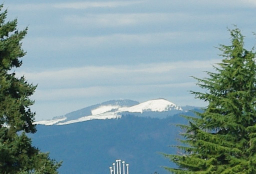
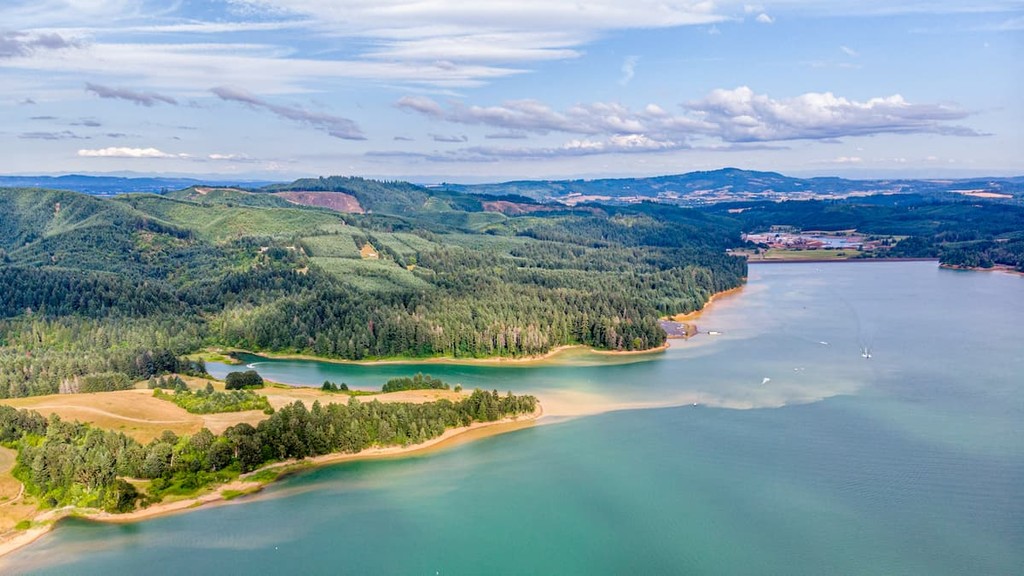
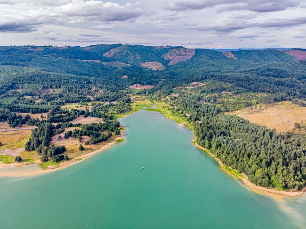
The tallest peaks in Washington County, Larch Mountain and South Saddle Mountain, lie in the northern Oregon Coast Range. The Tualatin River is the main waterway in Washington County and Henry Hagg Lake is the county’s largest lake.
Washington County was created in 1843 as one of Oregon’s original four districts. The county’s original boundaries encompassed the entire northwest corner of Oregon, but eventually portions of the land were transferred to the newly formed Columbia and Multnomah counties. In 1849, the county was renamed from Twality to Washington County to commemorate the nation’s first president.
Prior to the arrival of European settlers, it’s estimated that roughly 15,000 Kalapuya natives traveled throughout the Tualatin and Willamette valleys. For thousands of years, natives sustained themselves by traversing seasonal routes, using dugout canoes to navigate streams and rivers, trading and exporting goods, and living off the natural resources available in the region. These well-traveled routes were also used by early explorers, trappers, traders, and settlers. Eventually, these same pathways would become stagecoach routes and roads.
Today, Washington County boasts a variety of natural and historical attractions, including the Washington County Museum, Cooper Mountain Nature Park, L.L. Stub Stewart State Park, Henry Hagg Lake/Scoggins Valley Park, Jackson Bottom Wetlands Preserve, and Tillamook State Forest. In addition to its scenic parks, wetlands, and wildlife preserves, Washington County also contains an array of tasty restaurants, award-winning wineries, and shops.
Established in 2007, the L.L. “Stub” Stewart Memorial Park encompasses roughly 1,654 acres near the community of Buxton in Washington County. When the park was first established, it was the first new full-service state park in the state since 1972. The park lies in the foothills of the Northern Oregon Coast Range and offers a variety of camping opportunities. Roughly 30 miles of trails wind through the park, many of which are equestrian and mountain bike friendly.
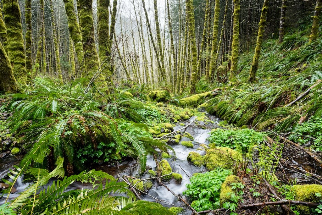
The Tillamook State Forest is a 364,000-acre forest managed by the Oregon Department of Forestry. The forest is tucked within the Northern Oregon Coast Range and spans Washington, Tillamook, Yamhill, and Clatsop counties. In 2006, the Tillamook Forest Center was established to encourage visitors to develop a deeper connection with the state’s forests through experience and exploration. This unique interpretive center is the region’s largest forest-based learning center and aims to showcase the legacy of the historic Tillamook burn, a series of forest fires that provoked the largest reforestation project of its kind.
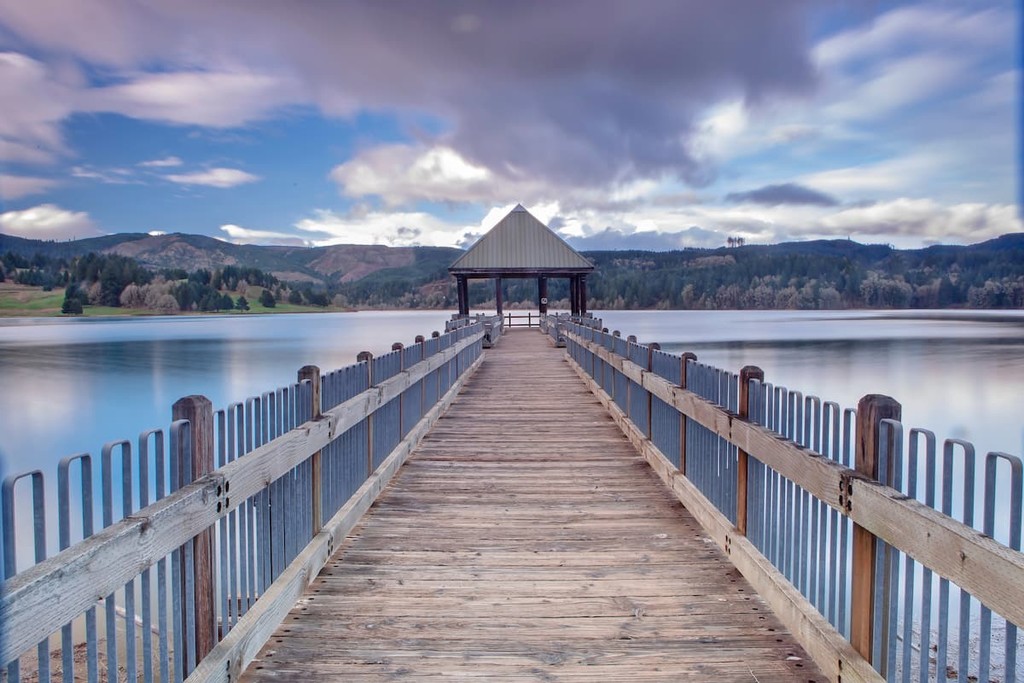
Formed by the construction of Scoggins Dam, Scoggins Park/Henry Hagg Lake lies at the base of Oregon’s beautiful Coastal Range. Overnight camping is not permitted in the park, but the area has plenty of developed facilities for day use. The Park features numerous picnic areas, two boat launching facilities, a fully stocked lake for fishing, 15-plus miles of hiking trails, and observation decks for wildlife-and birdwatching.
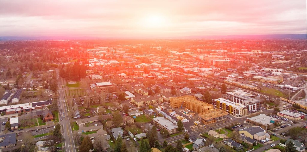
Located just west of Portland, Hillsboro is Oregon’s fifth-largest city. Despite its size, however, Hillsboro is a historic farming community and maintains its small-town character. Nicknamed the ‘Silicon Forest,’ Hillsboro has a growing technology sector and is home to some of the technology’s biggest names. Visitors to Hillsboro can kick back at local parks, watch a baseball game at the city’s state-of-the-art stadium, or head west to explore the densely forested Coast Range.

Located in the heart of the Tualatin Valley, Beaverton combines the best of a big city and small town. Downtown Beaverton is an eclectic mix of mid-century shops, turn-of-the-century landmarks, and modern development. The city boasts over 100 parks, 30 miles of hiking trails, and a 25-mile network of bike paths.