
Scan the QR code and open PeakVisor on your phone
Mopani District Municipality is located in the Limpopo Province in South Africa. It has 335 named mountains, the highest and most prominent of which is Serala Peak, at 2,050 meters (6,726 ft).
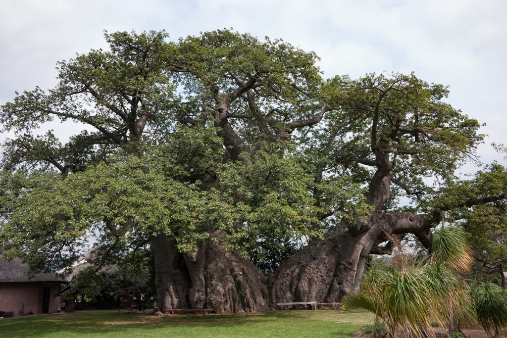
The Mopani District Municipality is in northeastern Limpopo province and covers approximately 200,110 ha (494,482 ac). Its landscape includes rugged terrain, savannas, and riverine ecosystems. The district is named after the mopane tree, which is common in the area and ecologically important.
Mopani borders Zimbabwe to the north via the Limpopo River and Mozambique to the northeast through the Kruger National Park. Within South Africa, it shares boundaries with Vhembe District Municipality to the west, Sekhukhune District Municipality to the south, and the Mpumalanga to the southeast. Its location supports cross-border trade and conservation efforts.
The district consists of five local municipalities: Ba-Phalaborwa, Greater Giyani, Greater Letaba, Greater Tzaneen, and Maruleng. Its terrain includes lowveld plains in the east and the Drakensberg Escarpment in the south, with major rivers like the Letaba, Olifants, and Klein Letaba providing water.
Mopani has a subtropical climate. Summers, from October to March, are hot and wet, with temperatures averaging 25°C to 35°C (77°F to 95°F), while winters, from April to September, are mild and dry, ranging from 10°C to 25°C (50°F to 77°F). Annual rainfall varies from 400 mm to 600 mm (16” to 24”), with the escarpment receiving more than the plains. This climate supports a variety of ecosystems, including savannah, woodland, and riparian zones.
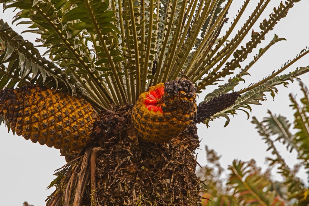
The district is rich in minerals, including phosphate, copper, and antimony, particularly in Ba-Phalaborwa. It also features ecological assets, such as Kruger National Park, which supports abundant wildlife, including the Big Five. The Modjadji Cycad Reserve in Greater Letaba protects one of the largest populations of cycads in the world. Mopani is part of the Greater Limpopo Transfrontier Conservation Area.
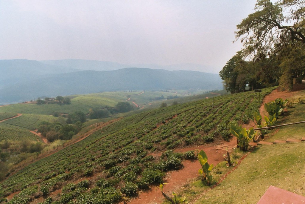
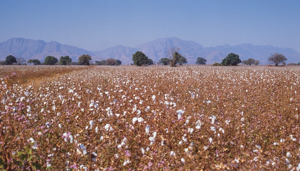
Agriculture and tourism are central to Mopani’s economy. Fertile soils and irrigation systems support the production of tropical fruits like mangoes and bananas, especially in Greater Tzaneen. The Drakensberg Escarpment near Maruleng provides opportunities for tourism with its scenic landscapes and outdoor activities.
The Mopani District Municipality is situated on the Kaapvaal Craton, one of the world’s oldest and most stable continental crusts. Its geology includes Archean granitoids, greenstone belts, Karoo Supergroup sedimentary rocks, and the Limpopo Mobile Belt, creating a diverse landscape.
The region is rich in minerals, particularly copper and phosphate from the Palabora Igneous Complex near Phalaborwa, along with smaller gold deposits and granite for quarrying.
The Mopani District's vegetation is predominantly savannah, with open woodlands and grasslands. Key vegetation types include Mopani woodlands, characterized by the Mopani tree; Acacia and Combretum woodlands; and riparian vegetation along rivers, such as the Limpopo and Letaba Rivers. These support more diverse plant life, including species adapted to the wetlands and floodplains.
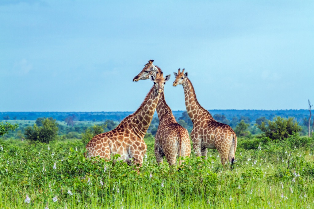
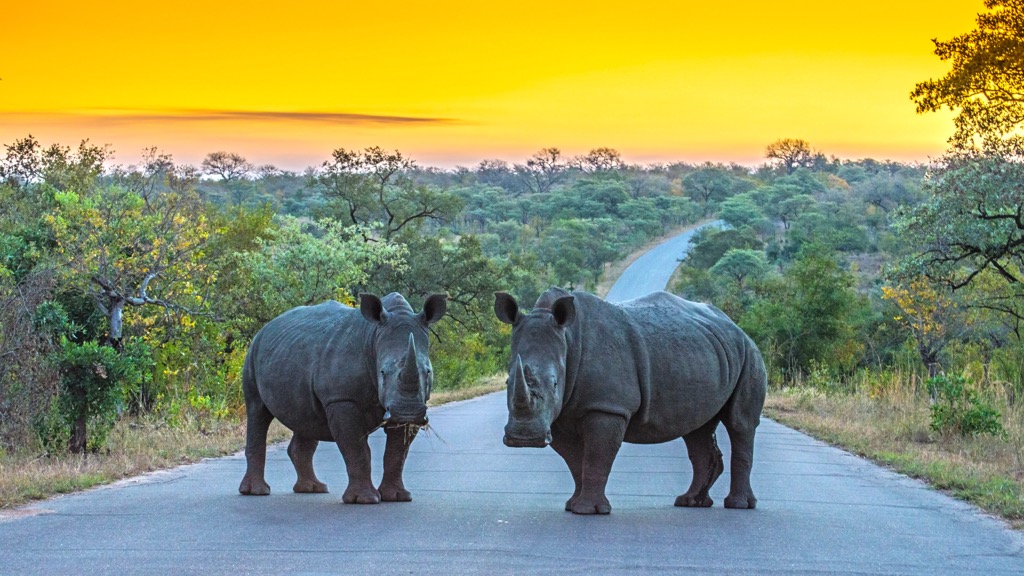
The Mopani District is home to a rich diversity of animal species. These include elephants, lions, and crocodiles, as well as smaller species such as impalas, hornbills, and eagles.
Before colonialism, the Mopani District Municipality was home to the Venda, Tsonga, and Sotho peoples, each with their own social and economic systems. The Tsonga were known for agriculture, while the Venda had a strong cultural tradition of art and spirituality.
British and Boer settlers disrupted indigenous governance structures during the colonial era, leading to conflicts. Under apartheid, from 1948 to 1994, the region was designated as a homeland, where indigenous people were forced into segregated areas, denied land ownership, and faced economic restrictions. This created lasting inequalities.
After apartheid ended in 1994, the Mopani District Municipality was established to improve governance and promote development. Phalaborwa, with its copper mining industry, became a key economic center.
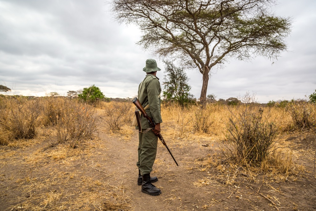
As one of the most famous game reserves in the world, Kruger National Park spans over 200,000 ha (494,211 ac) and is a major highlight of the Mopani District. The Wilderness Trails in Kruger National Park offer an opportunity to experience the African bush up close and personal.
The Bushmans Trail, located in the southwestern section, features private valleys, high rocky bluffs, and opportunities to see big game like elephants and rhinos. Near the N'wanetsi stream, the Mathikithi Trail is known for its views and close encounters with elephants and buffaloes. The Napi Trail runs through the central part of the park and is rich in biodiversity, with sightings of the Big Five.
In the northern part of the park, the Nyalaland Trail is famous for its remote and rugged terrain, which offers chances to see rare species and ancient baobab trees. The Olifants Trail follows the Olifants River, providing breathtaking views and opportunities to see hippos and crocodiles. It is also known for its birdwatching potential. The Wolhuter Trail, the first wilderness trail established in Kruger, offers a varied hiking experience through a mix of open savannah and dense bush.
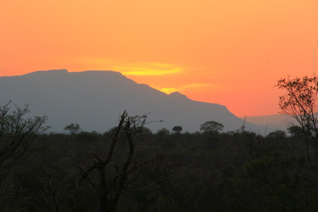
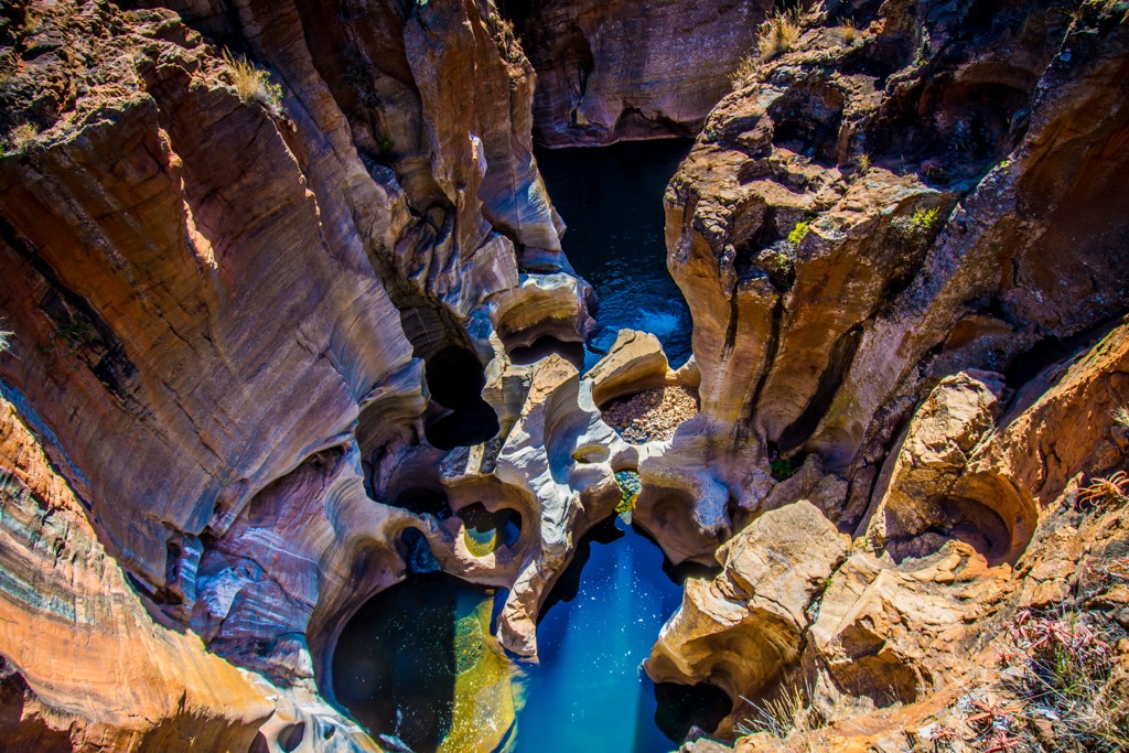
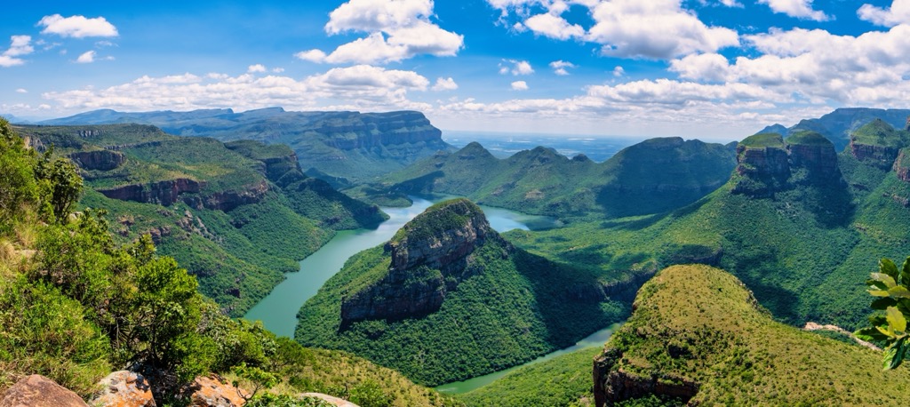
Located on the eastern edge of the Drakensberg escarpment, the Blyde River Canyon is the third-largest canyon in the world. The reserve features picturesque scenery and diverse hiking trails.
Highlights include the moderate 7 km (4 mi) Leopard-Guinea Fowl-Tufa Trail with swimming holes and views of the canyon, Three Rondavels, Thabaneng, and Mariepskop; the challenging 14 km (8.5 mi) Hippo Valley Trail with panoramic scenery and wildlife; and the 1 km (0.7 mi) trail to Bourke's Luck Potholes, showcasing unique geological formations. Other options are the 2 km (1.4 mi) Rainforest Trail via God's Window, the 3 km (2 mi) Kadisi River Trail with a steep descent, and the 10 km (6 mi) trail to Dientjies Falls, starting at Bourke's Luck Potholes.
Makuya Nature Reserve features baobab-studded landscapes, grassy plains, and dramatic gorges, making it ideal for hiking. The 32 km (20 mi) Makuya Primitive Trail is a four-day, three-night hike that traverses rivers, gorges, mountains, and plains. The Luvuvhu River Trail follows the Luvuvhu River, offering views of wildlife like hippos and crocodiles. The trail connects Makuya to northern Kruger National Park, enabling free animal movement between the areas.
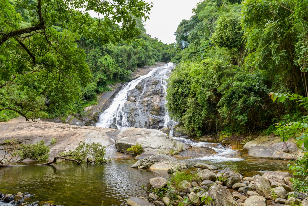
The Debengeni Falls Hiking Trail is located near Tzaneen and offers a scenic and moderately challenging route that spans approximately 4 km (2.5 mi). Nestled in the lush Magoebaskloof area of the northern Drakensberg Mountain Range, this trail offers hikers, mountain bikers, and walkers a chance to immerse themselves in natural beauty. The trail's highlight is the stunning Debengeni Falls, where the Ramadipha River cascades 80 meters (262 ft) into a large pool below. The surrounding area is rich with forests, rivers, and diverse wildlife, making it an excellent spot for bird-watching.
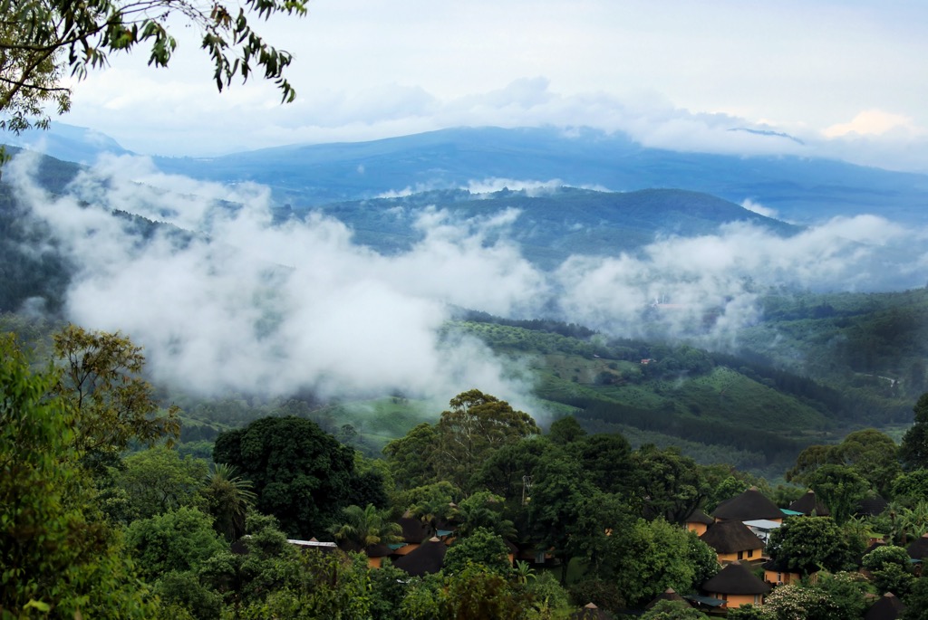
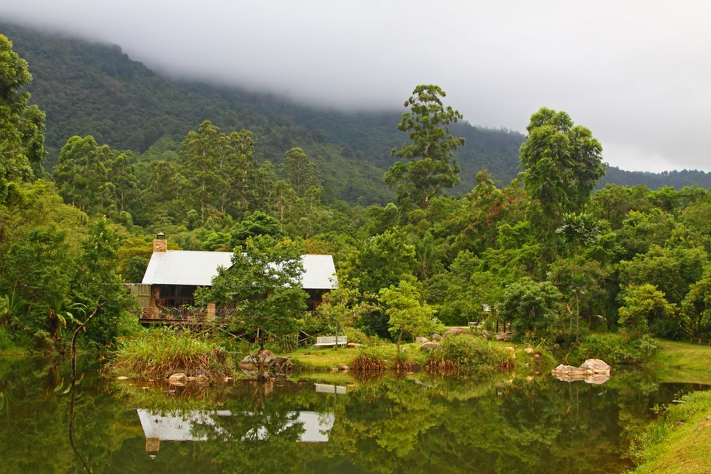
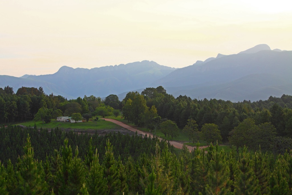
Tzaneen is often referred to as the Land of Silver Mist due to the frequent mists enveloping the surrounding mountains. It is renowned for its lush subtropical landscapes, abundant agriculture, and proximity to natural attractions.
Magoebaskloof Nature Reserve is located just outside Tzaneen and is known for its hiking trails, waterfalls, and diverse wildlife. It’s perfect for nature walks and birdwatching amidst the forested mountains.
Tzaneen is known for its fruit farms, and visitors can take farm tours to learn about the region's agricultural practices. Lalele Farm offers an immersive tour experience where visitors can pick fruit, learn about sustainable farming methods, and enjoy the beautiful landscapes.
Agatha Crocodile Ranch offers an interactive experience with crocodiles and other wildlife. Visitors can learn about crocodile conservation and even hold a baby crocodile. The ranch also provides a tranquil setting for nature walks.
Phalaborwa is a town in the Limpopo province of South Africa, situated near Kruger National Park, one of Africa’s most renowned wildlife reserves. Known as the Gateway to the Kruger, Phalaborwa is a popular base for visitors exploring the park, as it lies just outside its Phalaborwa Gate.
The town’s main attraction is its proximity to Kruger National Park. The Phalaborwa Gate offers easy access to the park, where visitors can enjoy self-drive safaris, guided game drives, and wildlife walks. The park is home to the Big Five, as well as a rich diversity of birds, reptiles, and plant species.
Situated in nearby Phalaborwa, the Letaba Elephant Museum is dedicated to the region’s elephants. It offers fascinating exhibits about the history, behavior, and conservation efforts surrounding these magnificent creatures. It is an ideal stop for wildlife lovers and families.
The Blyde River Canyon, one of the largest canyons in the world, is about a 1.5-hour drive from Phalaborwa. Visitors can enjoy sweeping canyon views from various lookout points, take a boat trip on the Blyde River, or visit the nearby Bourke's Luck Potholes.


