
Scan the QR code and open PeakVisor on your phone
Mangaung Metropolitan Municipality is one of the eight metropolitan municipalities in South Africa, located in the Free State province. There are 69 named mountains in Mangaung Metropolitan Municipality. The highest and the most prominent mountain is Thabanchu, measuring 2,138 meters (7,014 ft).
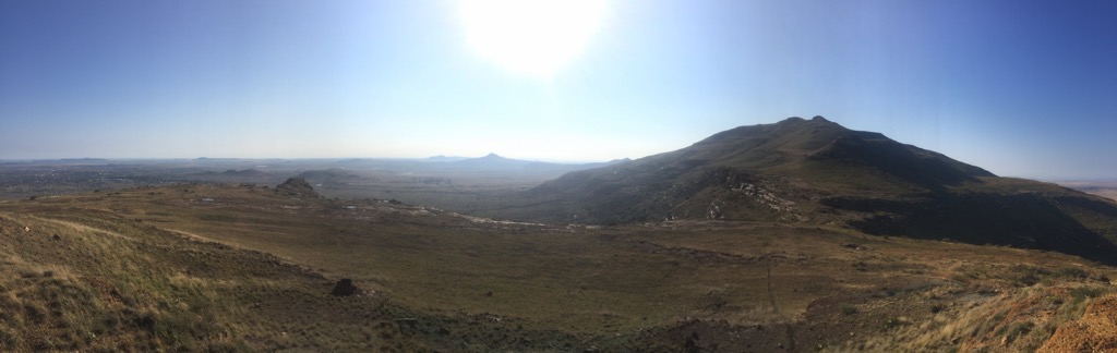
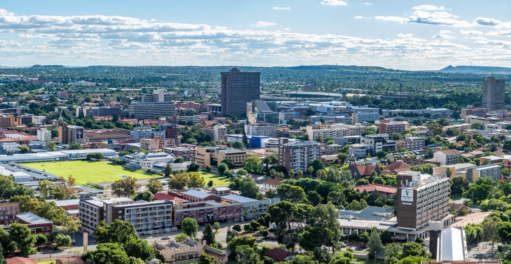
Mangaung Metropolitan Municipality is located in the central part of South Africa. It covers 628,400 ha (1,552,810 ac) and includes the city of Bloemfontein, the judicial capital of South Africa, and the towns of Botshabelo and Thaba Nchu. Open grasslands and shrublands primarily characterize the region's landscape.
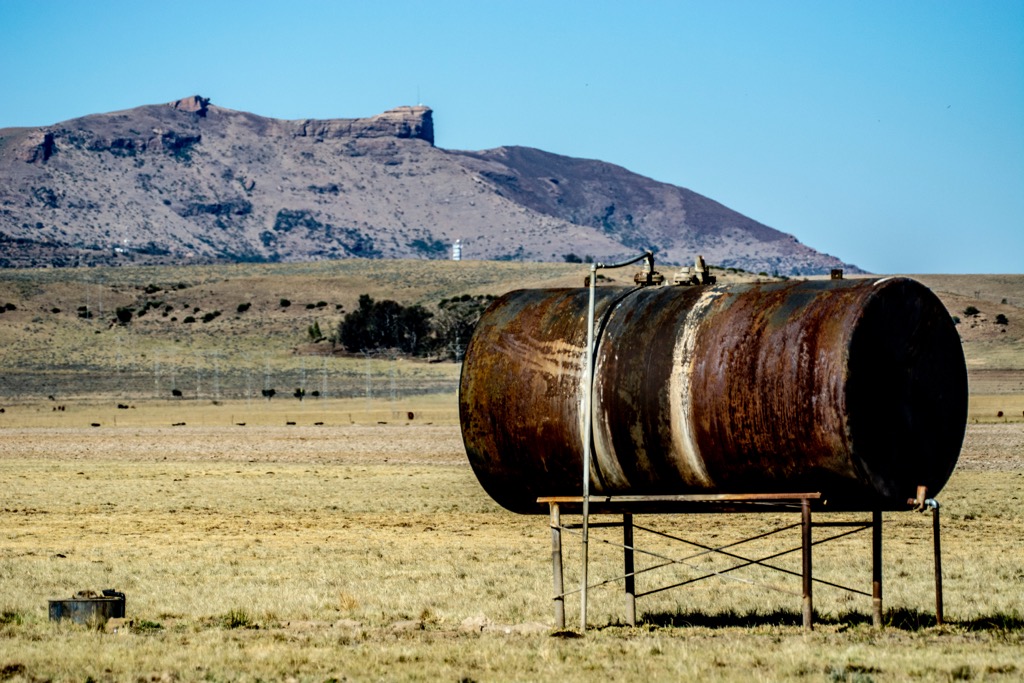
The municipality lies on the Highveld plateau, with an elevation ranging from 1,300 to 1,400 meters (4,265 to 4,593 ft). The terrain is mostly flat, particularly in the eastern parts near Thaba Nchu. The vegetation consists mainly of grasslands, with acacia trees and shrubs along riverbanks and rocky areas. Due to urbanization and agriculture, wildlife in the region is limited.
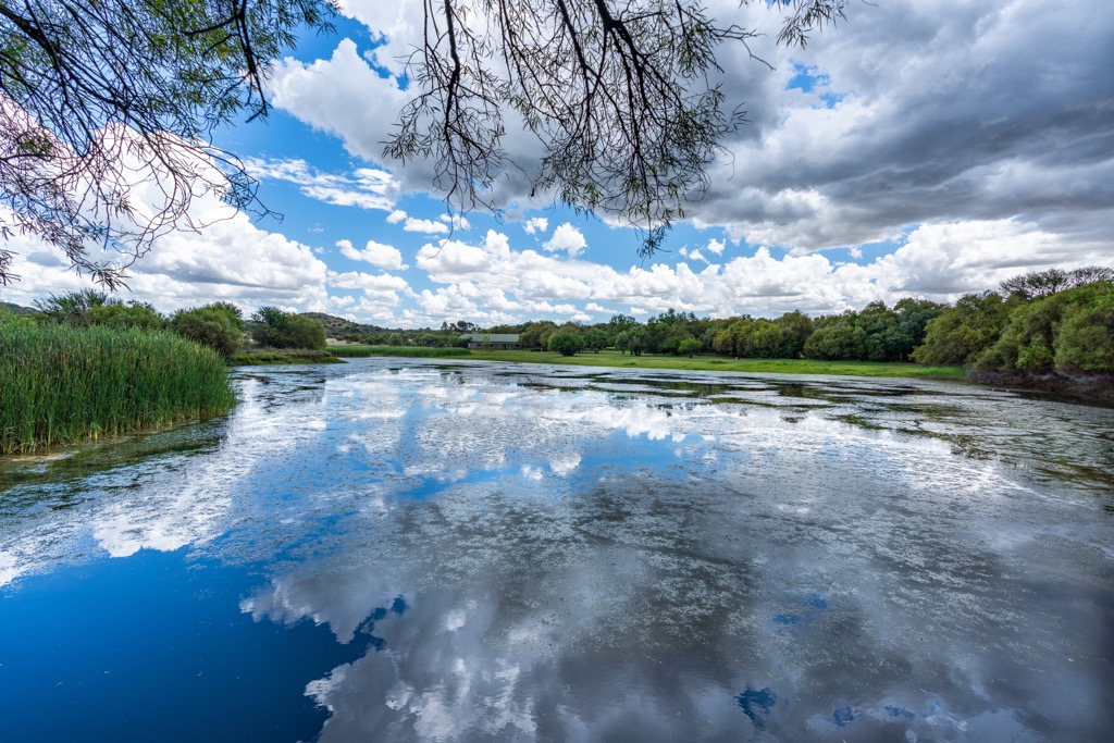
Mangaung experiences a semi-arid climate, with hot summers and cold winters. Summer highs can reach 35°C (95°F), while winter temperatures often drop below freezing at night. Rainfall is heavier in summer, with an annual average of 500 to 600 mm (20 to 24 in). Water sources are limited, with the Modder River, Rustfontein Dam, and Krugersdrift Dam being the primary suppliers. Most smaller streams in the area are seasonal and dry up after the summer rainfall.
The municipality includes both densely populated urban areas and rural settlements. Bloemfontein serves as the economic and administrative center. Botshabelo, located 54 km (33.5 mi) east of Bloemfontein, is a primarily residential and industrial town. In contrast, Thaba Nchu, located further east, has a more rural character with scattered settlements and mountainous surroundings.
Mangaung Metropolitan Municipality is underlain by sedimentary rock formations from the Karoo Supergroup, including shales, sandstones, and mudstones. The region has significant mineral resources, such as gold, coal, and diamonds. The landscape’s plains and fertile soils derive from the weathering of sedimentary rocks.
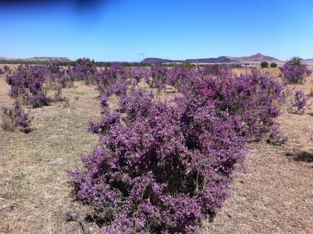
Its semi-arid climate and grassland biome shape the municipality's ecology. Dominant vegetation includes sweet and sour grasses, which provide grazing for herbivores.
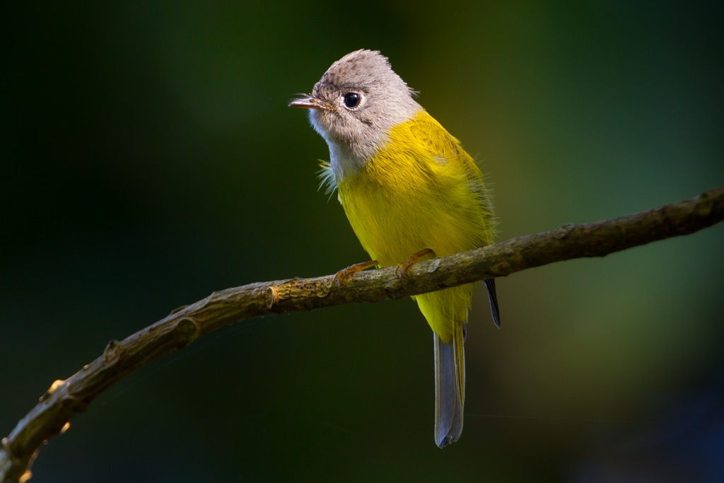
Mangaung supports various wildlife, particularly in protected areas such as the Franklin Game Reserve and Woodland Hills Wildlife Estate. These reserves are home to giraffes, blue wildebeest, and bird species like the Karoo scrub robin, fairy flycatcher, and violet-eared waxbills.
The name Mangaung, meaning the “place of cheetahs” in Sesotho, reflects the area's connection to the Basotho people, who are known for their warrior regiments named after animals.
Bloemfontein, the central city of Mangaung, was established in 1846 by Major Henry Douglas Warden as an outpost for Cape riflemen. Waaihoek, founded in 1872, became a key residential area for non-White populations. However, overcrowding and unsanitary conditions led to its demolition in the 1920s, and its residents were relocated to places like Batho and Heidedal.
In the early 1900s, even before apartheid was officially implemented, Bloemfontein began to experience segregation. The Natives Land Act of 1913 restricted Black South Africans' land ownership and movement. Under these early policies, Black residents were pushed to the outskirts of the city, often living in informal settlements or designated labor areas.
Many residents in Mangaung actively resisted the oppressive nature of apartheid. Throughout the 1980s, Bloemfontein became a center of protest, with student demonstrations against apartheid education and labor strikes for better wages. Townships like Botshabelo and Heidedal were hubs of anti-apartheid activism, and the region supported liberation movements such as the African National Congress.
After the end of apartheid in 1994, the newly democratic government sought to dismantle apartheid structures. In 2001, the Mangaung was part of the Motheo District Municipality. In 2011, it was upgraded to a metropolitan municipality with greater autonomy.
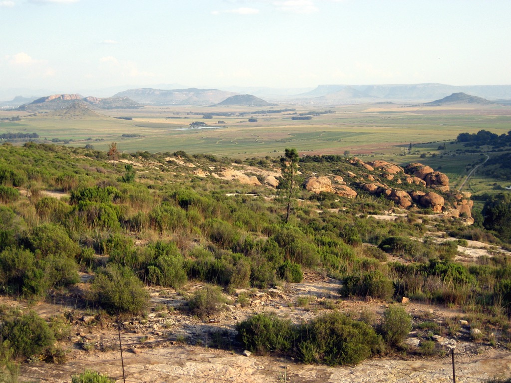
The Maria Moroka Game Reserve is near Thaba Nchu and features an 8 km (5 mi) hiking trail to Thabanchu. Along the way, hikers may spot wildlife such as zebra, black wildebeest, white rhino, and various antelope species. Birdwatchers can also see blue cranes and other bird species. The trail passes through grassy plains and wooded hills, offering views of the Montloatse Setlogelo Dam.
For a slightly longer hike to Thabanchu, the Thaba Nchu Hiking Trail offers a 9 km (5.5 mi) easy hike. Starting behind a farmer’s house near Maseru Road, the trail is well-marked with painted boulders leading through farmland and up the mountain. Hikers can enjoy scenic views, historical sites like old stone walls from the Anglo-Boer War, and a variety of local wildlife, including rare plants, fairy shrimp found in rainwater pools, and African-clawed toads. A permit is required from Glamorgan Farm before starting the hike.
Franklin Game Reserve is located in the city of Bloemfontein. The 4 km (2.5 mi) Naval Hill Trail is moderately challenging, with scenic views of Naval Hill, Signal Hill, and Grant’s Hill and wildlife like giraffes, wildebeest, and ostriches. The 9 km (5.5 mi) Madiba Trail is also moderate, passing through the southern part of the reserve and historical sites, including the White Horse. It features a mix of tarred roads and footpaths with several viewpoints. Also located in the reserve is the 4 km (2.5 mi) Franklin Loop, an easy-to-moderate trail offering panoramic city views.
The Free State National Botanical Garden in Bloemfontein comprises 70 ha (173 ac) and offers various hiking trails. The Botanical Garden Tree Route is a 1 km (0.6 mi) self-guided walk featuring 43 indigenous trees, including white stinkwood, wild olive, and sweet thorn trees. The 2 km (1.2 km) Motshetshe Trail, named after the Kiepersol tree, offers views of the garden and passes Iron Age kraal remains. The 2 km (1.2 mi) Garden View Trail provides scenic views of the garden. The garden hosts over 400 plant species, many native to the Northern Cape, Free State, and Lesotho, as well as a variety of bird, reptile, and mammal species, including meerkats and yellow mongooses.
Bloemfontein serves as the capital of South Africa's Free State province. It is also the judicial capital of South Africa, housing the Supreme Court of Appeal. Bloemfontein, also known as the City of Roses, is renowned for its abundant rose gardens and annual rose festival.
Within the city of Bloemfontein lies Kings Park, famed for its extensive rose gardens, featuring over 4,000 rose bushes. The park hosts the annual Bloemfontein Rose Festival.
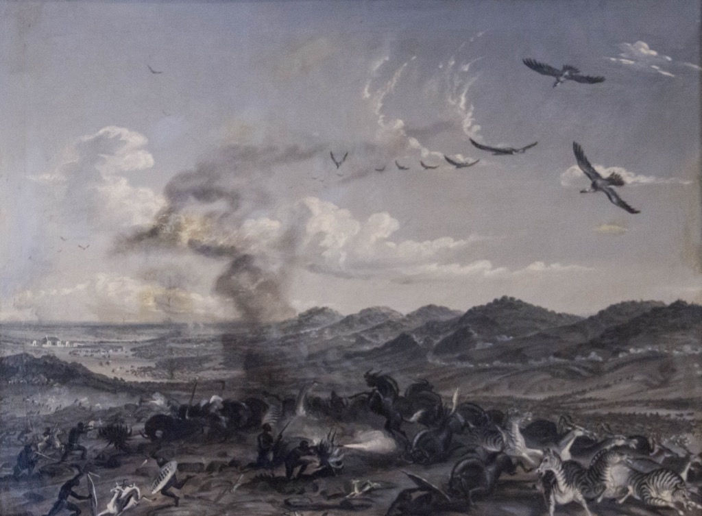
The Anglo-Boer War Museum is a significant historical site dedicated to the South African War (1899–1902). The museum provides insight into the war’s impact with outdoor exhibits, monuments, and well-preserved battle sites.
Located just outside Bloemfontein, Soetdoring Nature Reserve is an excellent destination for wildlife viewing. Visitors can spot rhinos, zebras, and various antelope species while exploring the scenic landscapes. The reserve also has picnic sites and fishing spots along the Modder River.
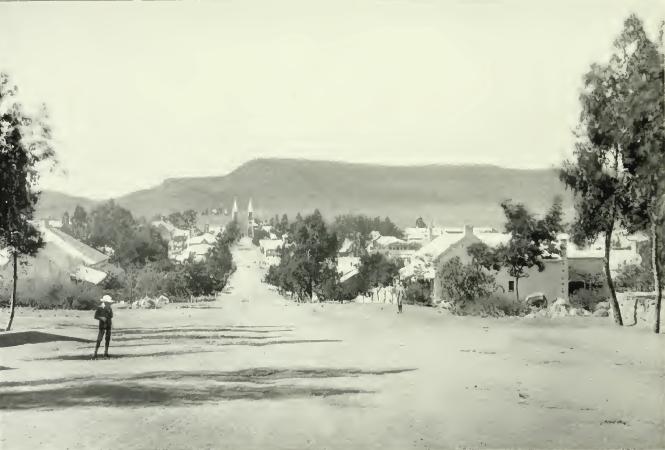
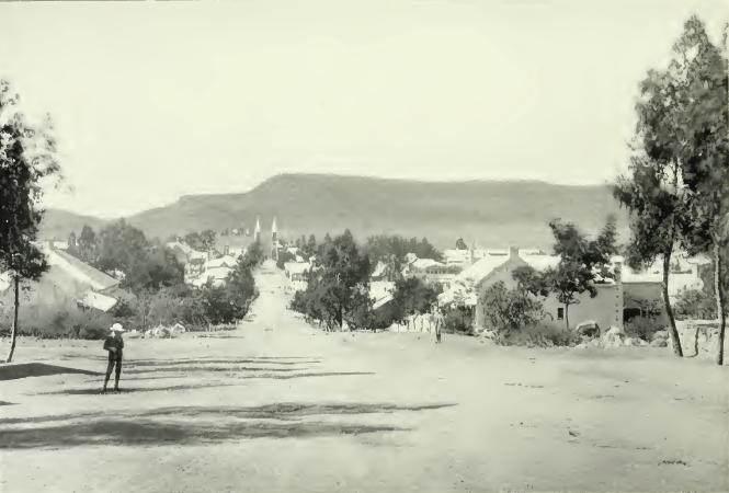
Thaba 'Nchu, meaning Black Mountain in seSotho, is a town in the Free State province of South Africa, 64 km (40 mi) east of Bloemfontein. It was established in 1873 and serves as the Tswana people's spiritual homeland.
The Thaba Nchu Mountain is a popular hiking destination with trails ranging from easy walks to challenging climbs. From the top, visitors can enjoy panoramic views of the surrounding plains and hills.
A short drive away, Botshabelo offers cultural sites, including museums and traditional villages that showcase the heritage of the local Basotho and Tswana communities.


.jpg)
.jpg)